


Starting point:
On the road 'Škofja Loka – Žiri' turn right in Poljane village towards Javorje. The road begins to ascend soon, follow the signposts for 'Žetina' and keep right after Javorje village. In Gorenja Žetina village parking can be a problem, especially on weekends (around 920 m).
Description:
From Gorenja Žetina signposts direct you towards Blegoš; follow the road to a crossroad at Črni Kal saddle. Here the paths split towards 'Prva Ravan' (a road), directly to the summit of Blegoš (a steep footpath) and towards a hut below Blegoš (a road). Take the path to the right, where a board 'Koča na Blegošu 3 km' directs you. Follow a gently sloping road to a crossroad, where you turn left and start to ascend steeply towards the hut. From the hut ascend to the summit directly over a bare ridge. There are several options for descent as well. In this case, we chose the descent across 'Prva Ravan'. Go down from the summit towards south-east past a bunker and from there onward to the edge of the forest. Markings direct you through the forest and to a crossroad at 'Prva Ravan', where you turn left on a road. Follow the road all the way back to Črni Kal and from there to Gorenja Žetina.
Highest point:
Blegoš: 1562 m
Duration:
Gorenja Žetina – Crossroad at Črni kal saddle: 45 min
Crossroad at Črni kal saddle – Hut on Blegoš: 1 h
Hut on Blegoš – Blegoš: 45 min
Blegoš – Prva ravan: 30 min
Prva ravan – Gorenja Žetina: 1.30 h
Total: 4.30 h
Difficulty: 2
Skiing:
You can ski down the described way of descent (flatter) or you keep left behind the bunker below the summit of Blegoš and take a shortcut across a steep slope through forest to the road 'Prva Ravan – Črni Kal'. For snowboarders this descent is not really interesting because the road 'Prva Ravan – Črni Kal' is rather flat.
Skiing difficulty: 1
Skiing duration: ca. 1 h
Gallery
-
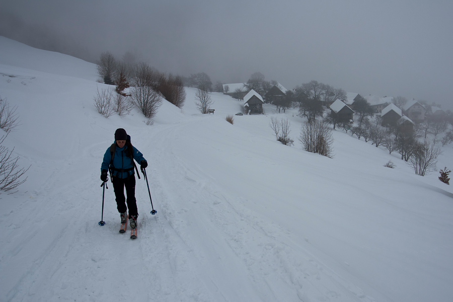
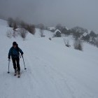
Blegoš - Start in Gorenja Žetina village -

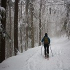
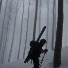
Blegoš - Winter forest -
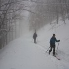
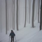
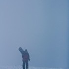
Blegoš - Fog everywhere around us -
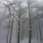
Blegoš - Foggy romantic -
Blegoš - Foggy romantic -
Blegoš - Foggy romantic -
Blegoš - Foggy romantic -
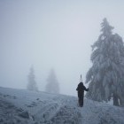
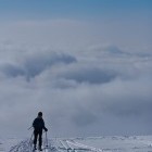
Foggy summit fo Blegoš -
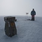
Blegoš - Where is the sun? -
Blegoš - Where is the sun? -
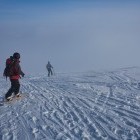
Descent from the summit of Blegoš