Download GPX data
Starting point:
We start our trip at the beautiful Youth Hostel Pliskovica, which is situated in the village. How to get there? Leave the motorway at the exit 'Sežana-vzhod'. Turn towards the centre of Sežana and at the first crossroad turn right in the direction of Nova Gorica. Drive through šmarje, Križ, Tomaj and Dutovlje. Soon after Dutovlje pay attention to the sign which points left towards Pliskovica. In Pliskovica follow the signposts to the hostel, where you get additional information and a map of the Pliska trail. How to get there on Google maps.
Description:
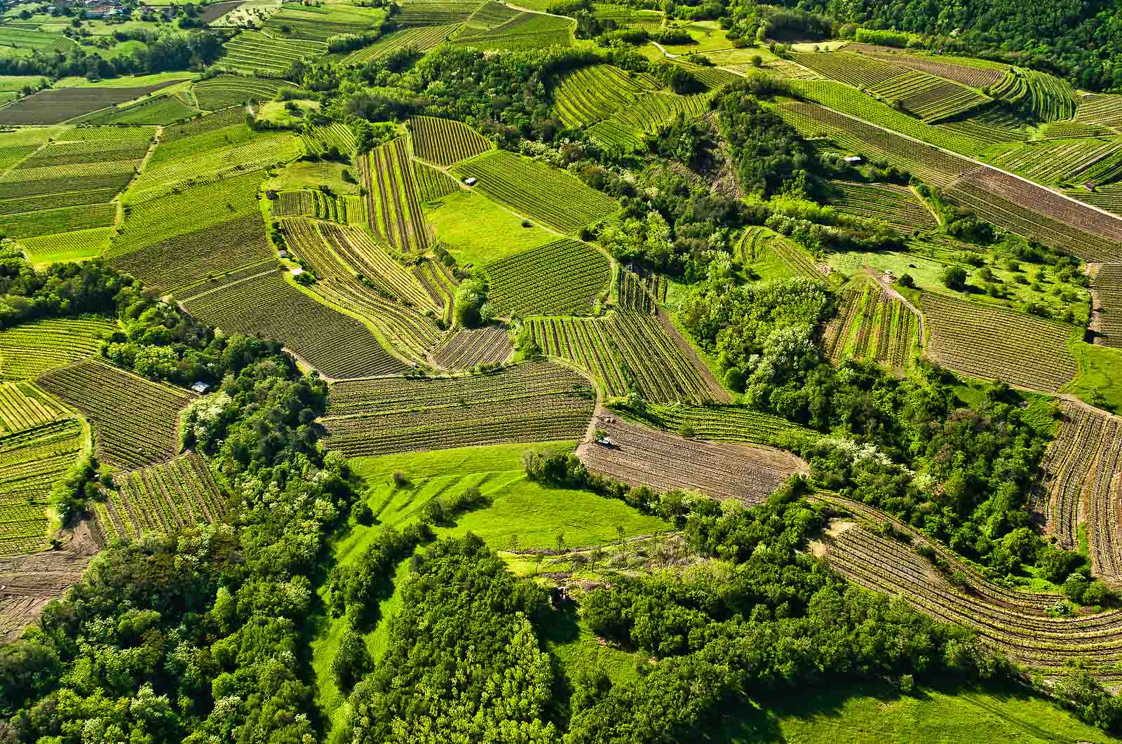
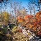
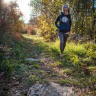
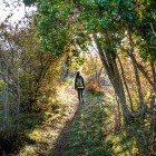
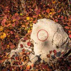
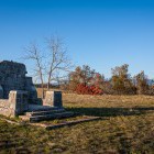
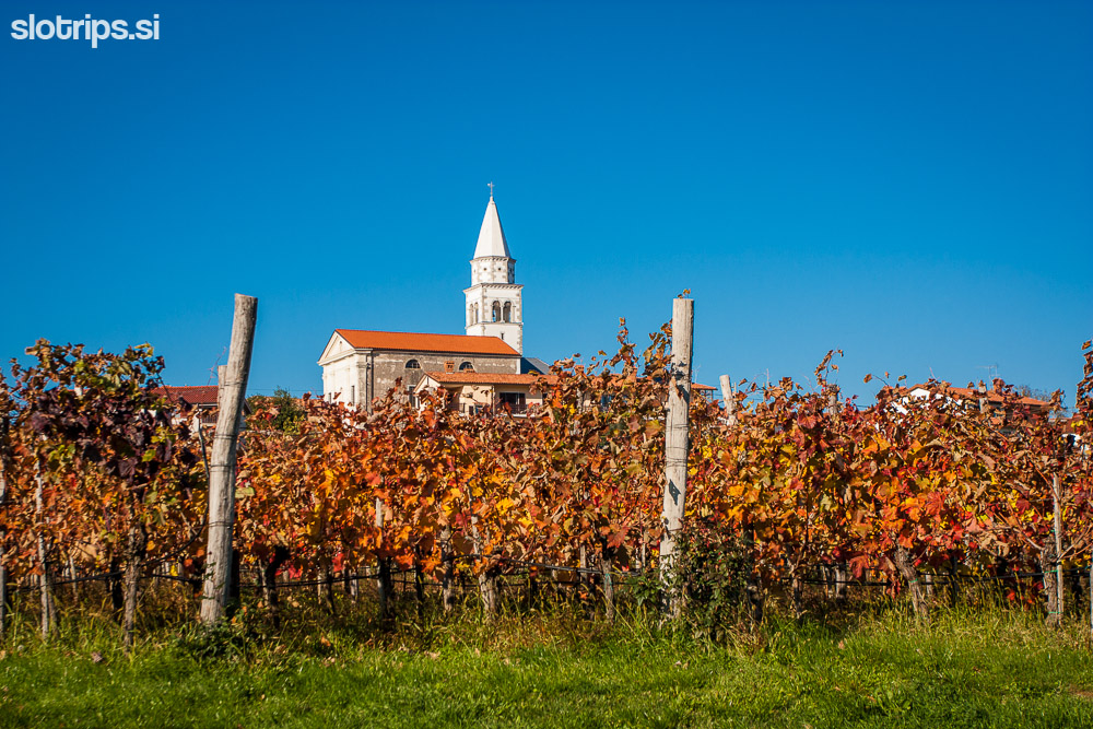
At the hostel you get a brochure of the Pliska trail, which includes a little map. From the hostel head up through the village, keep on the asphalt road and pass a vineyard with a church behind. On the left side there is a supermarket and a trellis under which you can find information boards about the Pliska trail and the local tourist offer. At the end of the vineyard, you reach a crossroad with a Partisan monument, where you turn left. Soon you will reach some houses again, try to find a narrow street on the right, which takes you to the boule (petanque) court. Just proceed onwards and you will get to a gravel road where the Pliska trail begins. From here on, just look at the signposts (a sheep carved in stone) and you will have no problems following the trail. Attention: at the crossroads you turn in the direction where the sheep is looking!
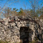
In about half an hour you will reach a water way from WW1, where you turn right and cross a grassy fence. Soon you reach a well-kept resting place; proceed further along the water way, which runs right next to the main asphalt road. The path leads you to a crossroad, where you turn left, cross the main road and follow the side asphalt road. Pay attention to the road which splits on the right and takes you to the village Kosovelje. Here take the asphalt road again until you get to a meadow with the remains of a chapel from the WW1. During the war the Karst region was on the outskirts of the Isonzo front and 100 years ago a big war hospital stood in this place. Here the Pliska trail leaves the asphalt road, crosses a meadow and the main asphalt road and leads you straight forward, directly to the church in Pliskovica.
Duration: app 2 hours
Difficulty:
1 - The trail is easy. Without noticeable ascents or descents.
Type of trail:
Marked - There are no markings in the village Pliskovica, they start at the end of the village.
WARNING: the elevation plot below is not correct!
Explore more of the Karst region on a self-guided hiking tour!
7-day hiking tour Vineyards, Caves and Coast.Start on any day of the week
Prefer a guided tour?
Try our Best Walks in Slovenia and catch a glimpse of Karst region among many other highlights of Slovenia!
![]()
 Hiking the Vipava Valley as a part of a self-guided tour with Slotrips
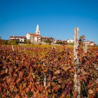
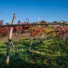
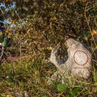
Gallery


-
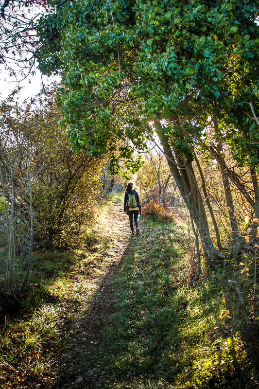
Pliska trail on Karst -

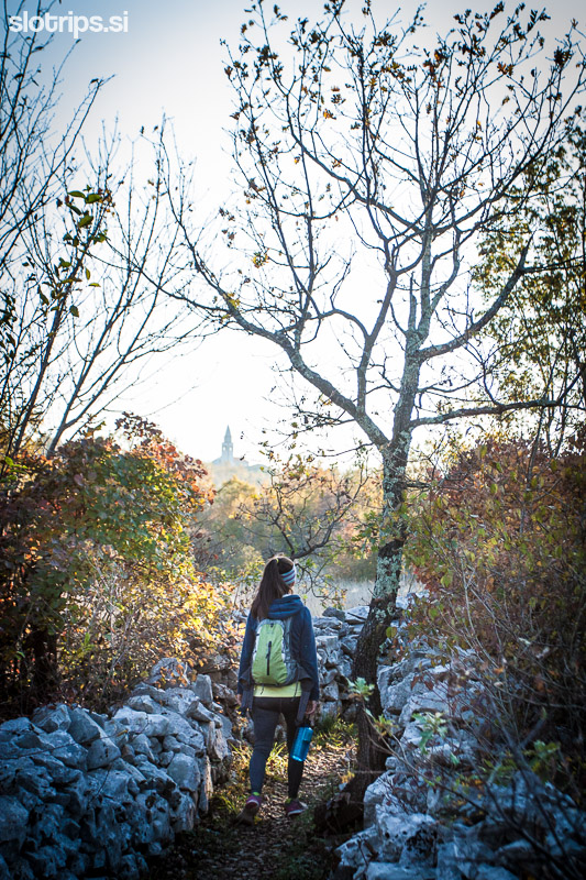
Pliska trail on Karst -
Pliska trail on Karst -
Pliska trail on Karst -
Pliska trail on Karst -
Pliska trail on Karst -
Pliska trail on Karst -
Pliska trail on Karst -
Pliska trail on Karst -
Pliska trail on Karst -
Pliska trail on Karst -
Pliska trail on Karst -
Pliska trail on Karst -
Pliska trail on Karst -
Pliska trail on Karst -
Pliska trail on Karst