Starting point:
Bašelj village. Leave the motorway 'Ljubljana – Jesenice' on exit 'Kranj – vzhod' and follow the signposts for Jezersko or Preddvor. Leave the road towards Jezersko at Preddvor (turn left) and begin to follow signposts for Bašelj. In Bašelj go in the direction of hiking boards for St. Lovrenc. When the asphalt ends, keep ascending for about 100 m on a rough dirt road. Park on a parking lot by a hiking signpost (750 m).
Option 2: If you wish to shorten the trip slightly and are not interested in the circular route, you can drive for another kilometer on the dirt road and park at the end of the road at approximately 860 altitude meters. In this case go up and down along the described route of descent.
Description:
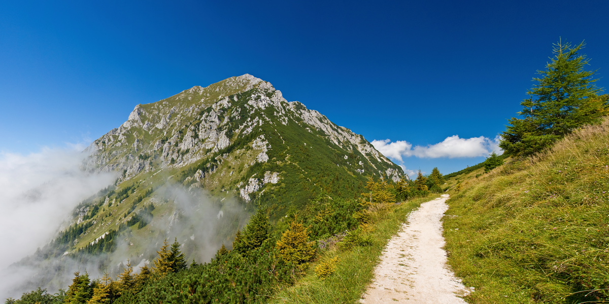
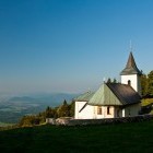
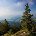
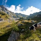
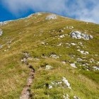
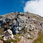
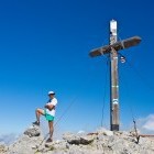
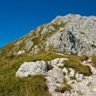
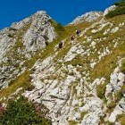
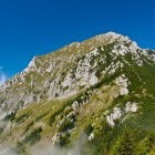
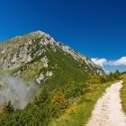
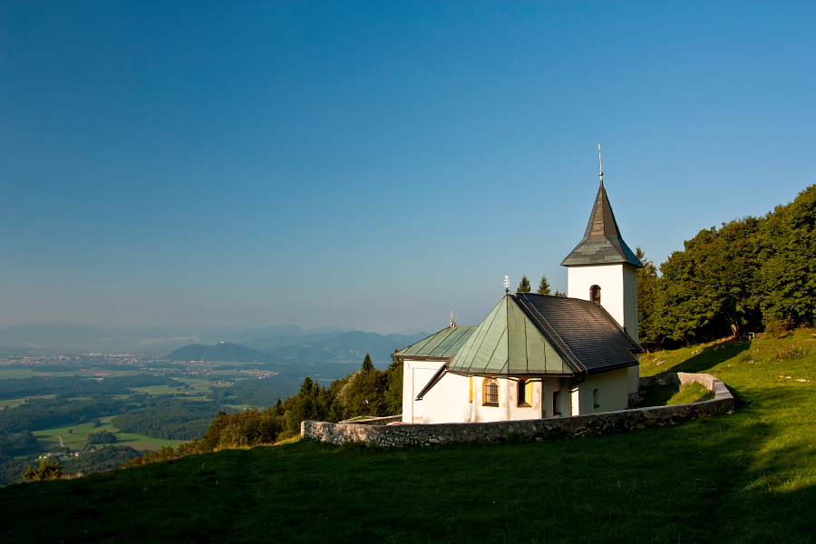
Follow the hiking signpost for St. Lovrenc from the parking lot. At the next crossroad go towards St. Lovrenc as well and soon you will reach a panoramic meadow with a charming litle church, which is a nice 'family-hiking' destination all on its own. At the top of the meadow you will spot a signpost which directs you into the woods to the right. Proceed in a gentle descent and merge with the path that leads directly from the parking lot towards Storžič. Begin ascending and walk on some sort of a 'ridge' through an exceptionally beautiful pine forest. The path is relatively steep and does not give many opportunities to rest. Higher up you come to a grassy slope with a better view and carry on ascending to a 'T-shaped' crossroad. Turn left here towards Poljana. Rest your legs on a flat path and reach Javornik alpine meadow. A signpost directs you to the right and you start ascending again on a mercilessly steep slope. Ascend along an evident gully directly towards the top of Storžič. Behind your back you will soon notice Mt. Triglav and 'Tolsti vrh' summit. Along a technically easy path you will reach the summit with a big wooden cross and splendid views!
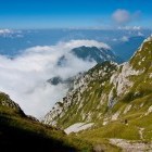
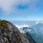
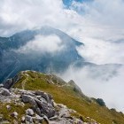
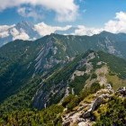
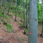
Go down towards south-east in the direction of Kališče. You will be walking across a grassy and rocky pyramid of Mt. Storžič until 'Bašeljski preval' saddle. The path crosses some partly exposed rocky sections. More caution and a bit of light climbing is required. From the saddle continue along a delightful gentle path to the popular 'Dom Na Kališču' hut. A forest starts below Kališče. Go down in the direction of hiking signposts for Bašelj or Mače. Shortly you come to a crossroad where you go to the right towards Bašelj. Keep right also on a marked crossroad a bit lower and go along a marked path in the direction of 'Košuta Partisan hospital'. The path is nicely marked throughout and leads you to a dirt road (the parking lot of option 2) on which you carry on for a good kilometer to the starting point.
Highest point/summit:
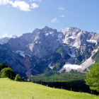
Storžič: 2132 m
Duration:
Bašelj - Storžič (past Javornik alpine meadow): 3.30 h
Storžič - Bašelj (past Kališče hut): 3
Total: 6.30 h
Difficulty:
3 - The ascent (past Javornik alpine meadow) is technically easy, but physically quite tough. The descent (past Kališče hut) is quite difficult in the top section. The path runs past some short rocky sections where you have to climb a bit.
Type of path:
Marked path - The entire route is well marked.
Gallery
-
Storžič - St. Lovrenc church -

Lower part of the ascent to Storžič -
Storžič - above Javornik alpine meadow -
Storžič - ascent along the south-west ravine -
Just below the Storžič summit -
Storžič summit -
Storžič summit -
Storžič summit -
Descent from Storžič towards Kališče hut -
Descent from Storžič towards Kališče hut -
Descent from Storžič towards Kališče hut -
View towards Mali Grintavec and Kočna in the back -
Summit pyramid of Storžič -
Kališče below Storžič -
The rest of the descent through the forest