Starting point:
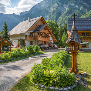
Vogar alpine meadow (1100 m). In Ribčev Laz at Lake Bohinj turn right over the bridge in the direction of Stara Fužina. In Stara Fužina pay attention to the signposts, which direct you left (Voje, Vogar) before a bridge over Mostnica stream. Carry on past the houses until you come to a large parking lot, where a road toll is collected in summertime. The narrow road starts to ascend. Follow signposts for Vogar (7.5 km from the parking lot above Stara Fužina). You can leave your vehicle near Vogar meadow (Parking lot 1) or proceed westwards all the way to the end of the road (Parking lot 2) and thus considerably shorten your trip.
Description:
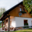
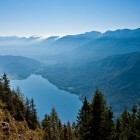
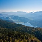
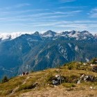
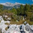
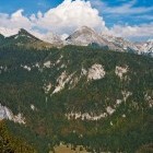
From the parking lot 1 (near Vogar meadow) go in the direction of 'Kosijev Dom' hut. Go past Dolenc homestead (where you might treat yourself to a rest and delicious home-made meal on the way back) and spot a hiking signpost at the next houses which directs you to the right. Follow a marked path which takes you westwards into the forest. Walk constantly towards west; flat and steep sections interchange. You will come to a crossroad at the end of the dirt road (parking lot 2, see option 2 below) and carry on to the left towards Pršivec. You peek out of the forest just below the top section of Pršivec and a great view to the Lake Bohinj surrounding mountains opens. A steep section comes after that, where some caution is needed, and then you walk across karstic terrain to the grassy summit of Pršivec. The view on all sides is marvelous, especially during fall when larch trees turn golden-yellow.
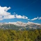
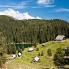
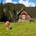
From the summit descend northwards. A marked path takes you to the lovely Viševnik alpine meadow with a pretty hut that offers refreshments in summer. Carry on in the direction of the next beautiful alpine meadow - Pri Jezeru (= by the lake), which you reach after less than half an hour of descent. There is a crossroad around 200 meters behind the meadow, where you turn right towards 'Vodični Vrh' meadow. Ascend for about 100 altitude meters, then the path leads you to a panoramic spot, which offers gorgeous views on the distanced Blato and Krstenica meadows. The path actually passes around Vodični Vrh meadow and goes directly down to Vogar. Apart from the top section of Pršivec, the entire route takes place in a forest with 'grassy intervals' at the alpine meadows. Summertime is the really optimal for this tour: it won't be too hot plus the meadows are lively because of the cattle.
Option 2: If you drive to the above described parking lot 2 (see also gpx data), do the following tour: Parking lot 2 - Pršivec - Viševnik meadow – Parking lot 2. The whole route is marked. At Viševnik meadow you have to go across the meadows towards south-east and simply follow the marked path. This route is about 2 hours shorter, but you leave out the cute 'Pri Jezeru' meadow.
Highest point/summit:
Pršivec: 1761 m
Duration:
Vogar meadow - Pršivec: 2.15 h
Pršivec - Viševnik meadow: 30 min
Viševnik meadow - 'Pri Jezeru' meadow: 20 min
'Pri Jezeru' meadow - Vogar meadow: 1.45 h
Total: 5 h
Difficulty:
2 - The whole route is technically easy. The path just below Pršivec summit (from Vogar) runs across steep terrain on the edge of a precipitous wall. Caution is needed. The approach across Viševnik meadow is recommended for all those who suffer from vertigo.
Type of path: Marked path<th< i=''></th<>
Gallery


-
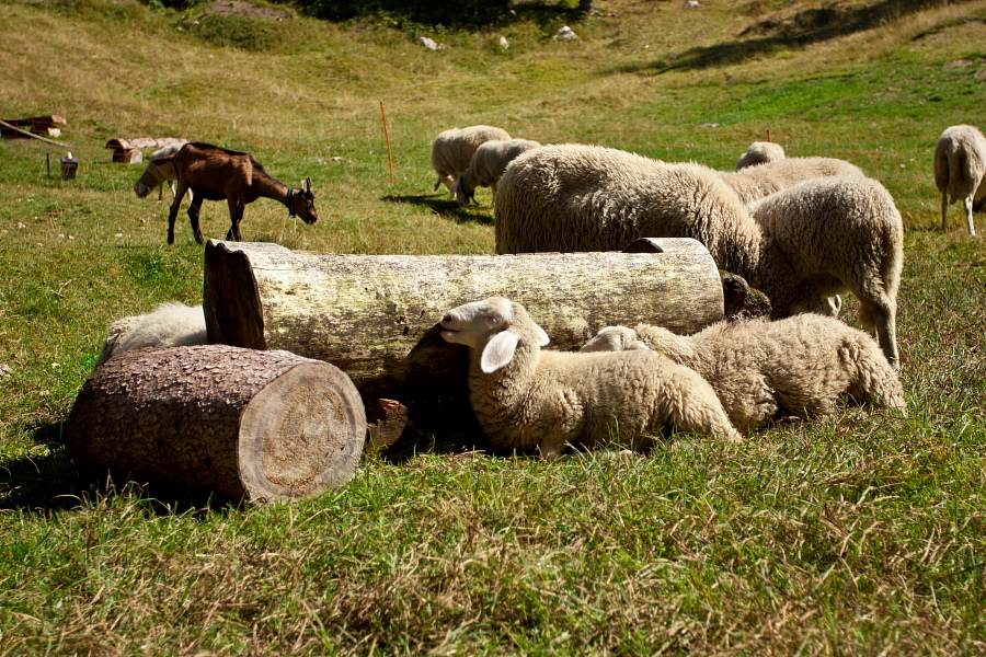
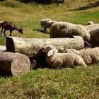
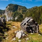
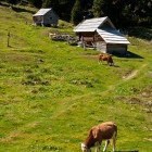
Animals at Dolenc homestead on Vogar alpine meadow -

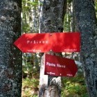
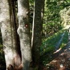
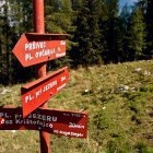
Pršivec - Signpost -
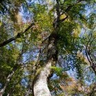
Pršivec - Nature -
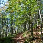
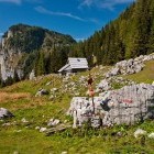
Path towards Pršivec -
Path towards Pršivec -
Pršivec - View towards Lake Bohinj -
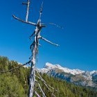
Triglav -
View from the summit of Pršivec -
View from the summit of Pršivec -
View from the summit of Pršivec -
View from the summit of Pršivec -
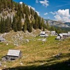
Viševnik alpine meadow below Pršivec -
Viševnik alpine meadow below Pršivec -
Viševnik alpine meadow below Pršivec -
Viševnik alpine meadow below Pršivec -
Viševnik alpine meadow below Pršivec -
Signpost -
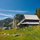
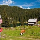
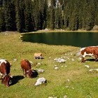
"Pri jezeru" alpine meadow -
"Pri jezeru" alpine meadow -
"Pri jezeru" alpine meadow -
"Pri jezeru" alpine meadow -
"Pri jezeru" alpine meadow -
View towards Blato and Krstenica alpine meadows -
Detail -
Detail