How to get there:
There are two ways of coming to the crag:
A) Leave the motorway 'Ljubljana – Koper' on exit Vrhnika, turn left at the traffic light and drive on through Vrhnika towards Logatec. After a few hundred meters (at a traffic light near a primary school) turn left and then take the fifth street from the right (called 'Pot v Močilnik'). A straight road crosses a small stream and soon brings us to Mirke village. Turn left at the crossroad and carry on through the village till the end of the asphalt road where parking lot A is (see the sketch). From the parking lot we go on foot along a recreational dirt road, which leads us across a footbridge to the crag.
B) Leave motorway 'Ljubljana – Koper' on exit Vrhnika, turn left at the traffic light and at the next traffic light again left. Cross a bridge and then drive parallel with Ljubljanica river. At a crossroad after about a kilometer carry straight on through a dense village Verd (Borovnica is to the left). There are many branches leading to residential houses in  the village, but keep on the wider road which will take you to the end of the village and to parking lot B (see the sketch). From here follow a dirt road to the climbing area.
'How to get there' sketch
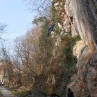
Access:
Access from parking lot A takes a bit longer but does not last more than 7 minutes.
Best time for climbing:
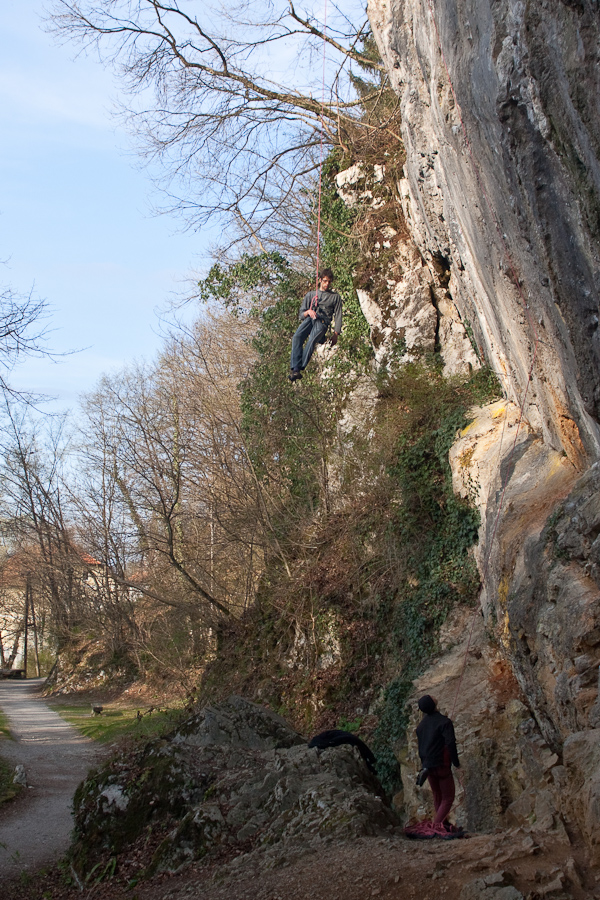
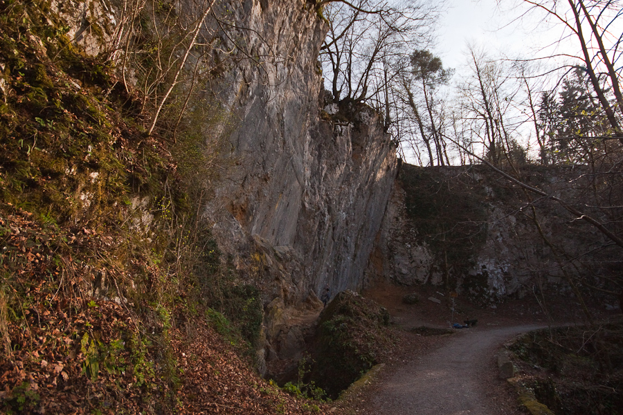
The climbing area is situated in a forest by water and is cool also in hot summer days. Best time is from late spring to early autumn.
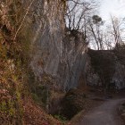
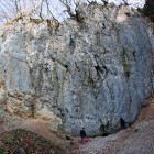
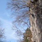
Orientation of the wall:
The climbing area faces south-west.
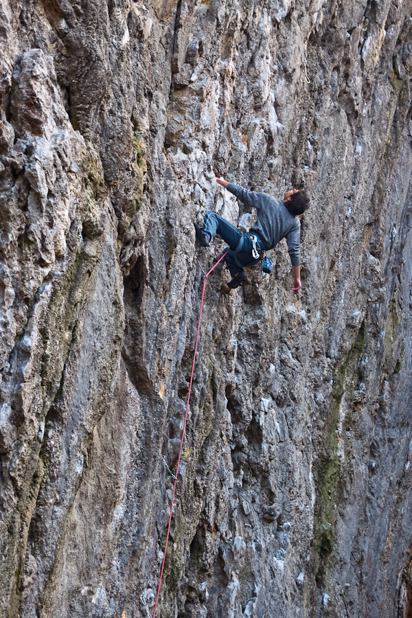
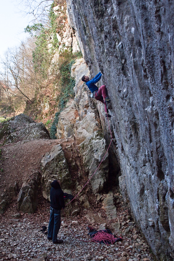
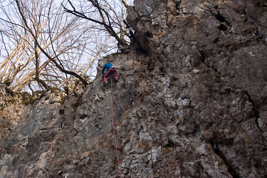
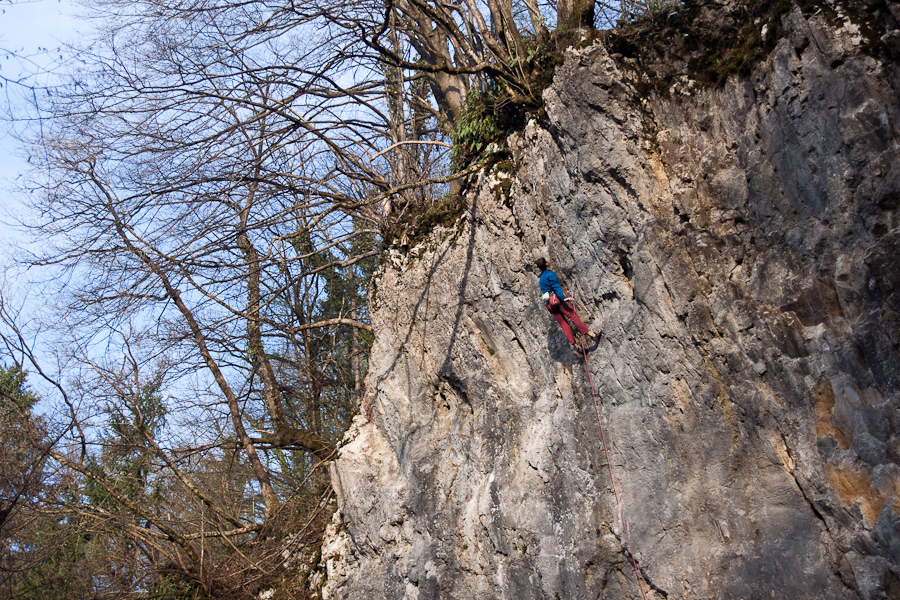
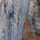
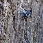
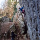
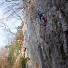
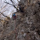
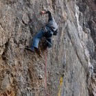
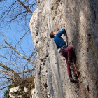
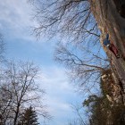
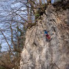
The extremely overhanging and relatively high wall with many handholds and small stalactites demands stregth and stamina from a climber. The routes have modern equipment.
###izrisi_graf47###
Y - Number of routes
X - Grades
Gallery
-
Retovje -

Retovje -
Retovje -
Retovje -
Retovje -
Retovje -
Retovje -
Retovje -
Retovje -
Retovje -
Retovje -
Retovje -
Retovje -
Retovje