Starting point:
Leave the motorway 'Ljubljana – Jesenice' on exit Tržič. Drive past Tržič towards Ljubelj Pass. Just before the tunnel at Ljubelj turn left and park on a parking lot at the foothill of Zelenica ski slopes (around 1060 m).
Description:
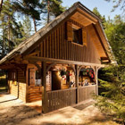
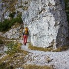
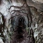
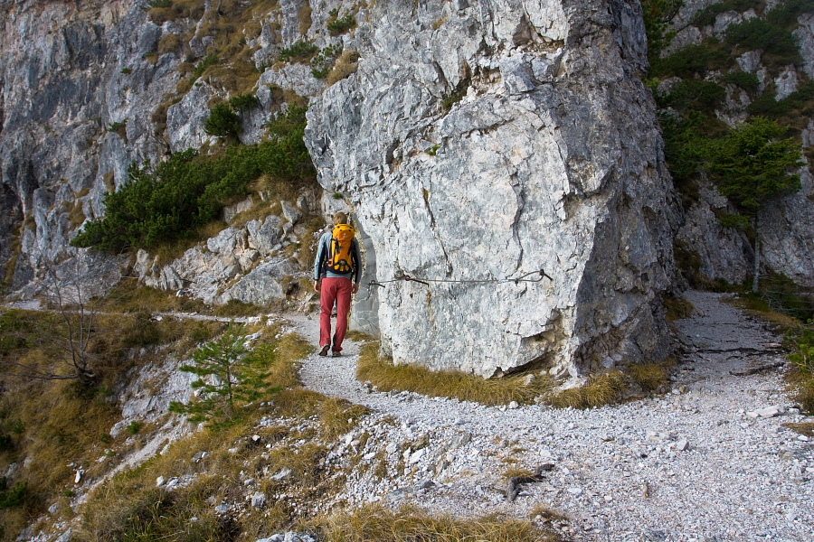
Right by the parking lot there is a some sort of hotel called 'Oaza miru'. Walk past it southwards and find a clearly visible path behind the hotel. An interesting path (called 'Bornova path') starts here and will take you to Preval alpine meadow in a gentle ascent. The path is wide enough and is sometimes tackled even by mountain-bikers, but still caution is required at some sections, especially if you are with children. The path crosses occasionally steep slopes with a few steel cables for protection. You will also cross a narrow tunnel so don't forget a flashlight! You will reach the charming Preval meadow in about an hour and a half. Hopefully the hut on the meadow is open and you can taste some excellent local food and have some fresh milk!
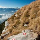
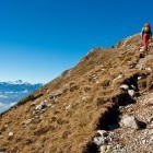
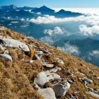
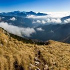
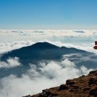
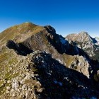
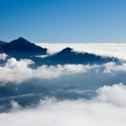
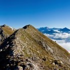
A signpost at a cross will direct you to the right and the path start ascending mercilessly. Take on the steep slope (also called 'Kalvarija'), which does not flatten until you come to the ridge. At first it goes through a forest, then later across steep meadows, which reward you with gorgeous views on the nearby Kamnik-Savinja Alps and the more distanced Julian Alps. Be careful not to slip on the grass in the upper section, especially if it is wet. Once you reach the ridge carry on towards west on a marked path. Cross two grassy summits and reach the highest 'Veliki Vrh' summit on the delightful ridge.
From the summit descend towards west on a marked path. Cross the south slopes on a narrow footpath just below the top of the ridge and reach a path crossroad in about half an hour. A signpost will direct you to the right on the shady north slopes towards Zelenica. Cross the steep slopes towards north-east. Steel cables help you at two passages. Mt. Stol and Mt. Vrtača boast in front of you the whole time. The path will lead you directly to 'Dom Na Zelenici' hut across a rough scree-slope. Continue eastwards from there and descend across ski slopes on a cart road or a marked path (a short-cut that often crosses the road) directly to the parking lot.
Highest point/summit:
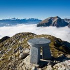
Veliki vrh (Begunjščica): 2060 m
Duration:
Parking - Preval alpine meadow: 1.20 h
Preval alpine meadow - Veliki vrh (Begunjščica): 2.30 h
Veliki vrh (Begunjščica) - 'Dom na Zelenici' hut: 2.15 h
'Dom na Zelenici' hut - Parking: 45 min
Total: 7 h
Difficulty:
3 - You will feel unpleasant at some sections of 'Bornova path' only if you have extreme vertigo. The ascent is technically easy, but can be pretty troublesome when wet because of the danger of slipping. There are some short sections on the way down towards Zelenica where more caution is needed. Steel cables will help you at all difficult sections.
Type of path:
Marked path - Although 'Bornova path' from Ljubelj to Preval alpine meadow is not marked, it is wide enough not to miss it.
Speedflying from the summit of Begunjščica
Gallery


-
"Born path" towards Preval alpine meadow -

Tunnels on "Born path" -
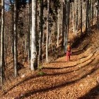
Autumn below Begunjščica -
View towards Dobrča -
On the way to Begunjščica -
On the way to Begunjščica -
On the way to Begunjščica -
On the way to Begunjščica -
Detail -
Grassy ridge of Begunjščica -
Path along the ridge towards the summit of Begunjščica -
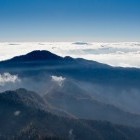
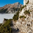
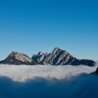
Storžič and Tolsti vrh above the fog -
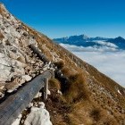
Panoramic path towards the summit of Begunjščica -
Panoramic path towards the summit of Begunjščica -
Panoramic path towards the summit of Begunjščica -
The summit of Begunjščica - Veliki vrh -
View from the summit of Begunjščica -
On the way down from the sumit -
Turn towards Zelenica -
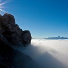
Fog and the view -
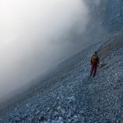
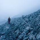
Crossing the scree-slopes towards Zelenica -
Descending towards Zelenica -
View towards Košuta and Košutica -
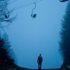
Foggy Zelenica -
Foggy Zelenica