Starting point:
Stara Fužina at Bohinj Lake (560 m). There are some parking spaces by a church at the end of the village.
Description:
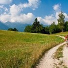
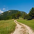
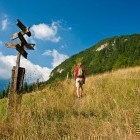
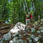
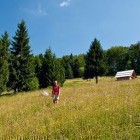
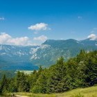
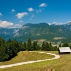
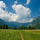
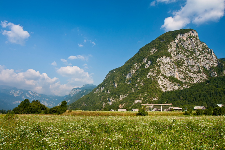
Go towards the center of the village from the church in Stara Fužina. You will notice a green signpost for Rudnica which directs you to the left. Soon you come to Ribnica stream, cross it and continue on the path that runs along its left bank. Cross the stream again at the next bridge and after about 100 meters turn right onto a grassy cart road, which runs along the stream. On a nice path you will come the an asphalt road where you turn right towards the local ski slopes of Senožeta. Turn right by a chapel and shortly reach the ski slopes. Head across the ski slopes by the forest edge directly uphill until you come to a dirt road. Follow it to a saddle where you turn westwards in direction of the rounded summit of Rudnica, which already boasts in front of you. Leave the dirt road just before an abandoned farm, go straight across a meadow and shortly come into a forest, where the path starts to ascend steeper. Keep right in the flatter top section and come to the summit with a stamp-box and a bench with a lovely view on the Upper Bohinj valley. Descend towards south-west across a lovely meadow with a view of Lake Bohinj, then follow a cart road all the way to Stara Fužina and on to the lake shore.
Highest point/summit:
Rudnica: 946 m
Duration:
Stara Fužina - Senožeta ski slope: 30 min
Senožeta ski slope - Rudnica: 1 h
Rudnica - Stara Fužina: 1 h
Stara Fužina - Lake - Stara Fužina: 30 min
Total: 3 h
Difficulty:
1 - The entire route is technically easy.
Type of path:
Unmarked path - There are no markings, but signposts help you in some places.
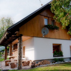
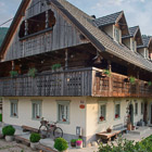
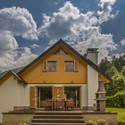
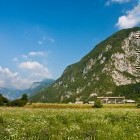
Gallery
-
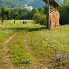
The path from Lake Bohinj towards Srednja vas -

The path from Lake Bohinj towards Srednja vas -
View towards Studor -
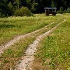
The path -
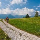
Above Senožeta ski slope in Bohinj -
Above Senožeta ski slope in Bohinj -
Ascent towards Rudnica from the east -
Signposts on the way to Rudnica -
Just below the summit of Rudnica -
Rudnica - descent towards west -
View towards Lake Bohinj -
Descent from Rudnica towards Lake Bohinj -
Near Lake Bohinj -
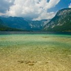
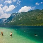
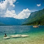
Lake Bohinj -
Lake Bohinj -
Lake Bohinj -
Lake Bohinj