| asphalt, dirt road, trail | ||
Starting point:
Stara Fužina village near Lake Bohinj (560 m). There are a few parking lots by the church at the end of the village.
Description:
You can ride towards Studor village on the main asphalt road or turn left onto a dirt road, that leads to Studor just as well, right behind the church in Stara Fužina. In Studor ride past the Oplen House (museum) to a marked crossroad where you turn left towards Uskovnica. The dirt road begins to ascend moderately. You will reach a beautiful Uskovnica alpine meadow with many traditional shepherds' huts that are nowadays transformed into idyllic holiday houses. There is a mountain hut at Uskovnica and provides 'first aid' for the hungry and thirsty. From the hut continue ahead on the dirt road to a small wooden chapel and head towards a steep slope directly above the chapel (towards north). Ride to the next larger meadow where you leave the dirt road and cross a wooden fence. Go along a poorly visible trail across the meadow. At the end of the meadow, cross another wooden fence and continue on a  forest path to a parking lot beneath the Konjščica alpine meadow (this is one of the starting points for ascent on Mt. Triglav).
Here you come on a wider dirt road which descends towards south. Go right on the first crossroad and left on the second one. Along a beautiful curvy track you will reach Praprotnica alpine meadow. Behind the first houses turn right onto a path between two wooden fences. Shortly you will come to a dirt road again. Turn left and the road starts ascending towards one of the nicest alpine meadows - Zajamniki. Turn right from the main dirt road and cycle between idyllic shepherds' cottages across the meadow. On the other end of the meadow continue straight ahead and begin to descend on a forest path in the south-east direction. Keep right at the crossroads and go down to Podjelje village on a quite steep but fun trail. In Podjelje the asphalt road starts again and brings you back to Stara Fužina through villages of Jereka, Češnjica and Srednja Vas.
Highest point:
Uskovnica alpine meadow: 1180 m
Zajamniki alpine meadow: 1300 m
Length (duration, km):
Stara Fužina - Planina Uskovnica: 1.15 h (10.5 km)
Planina Uskovnica - Planina Zajamniki: 1.15 h (7 km)
Planina Zajamniki - Stara Fužina: 45 min (10 km)
Total: 3.30 h, 28 km
Type of trail:
20% asphalt (6km)
40% dirt road (11km)
40% singletrail/tractor road (11km)
Gallery

-
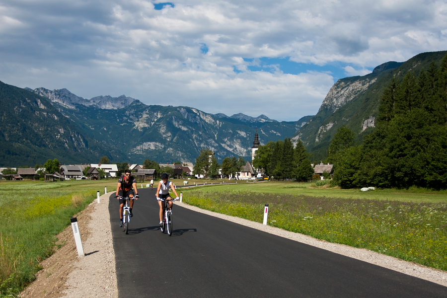
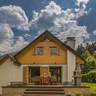
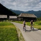
Start in Stara Fužina village -

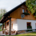
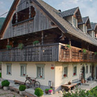
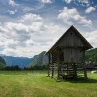
Hayracks in Studor village -
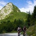
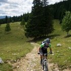
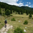
Start ascending -
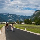
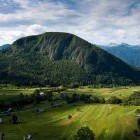
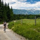
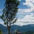
View on Upper Bohinj valley and Rudnica hill -
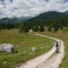
Uphill towards Uskovnica -
Approaching Uskovnica -
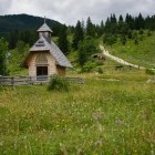
Chapel in Uskovnica -
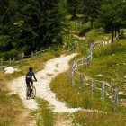
Before a steep slope -
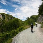
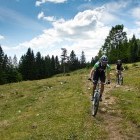
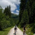
Ascent towards Konjščica alpine meadow -
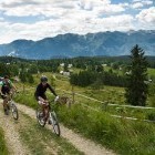
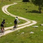
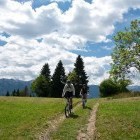
Nice cart road -
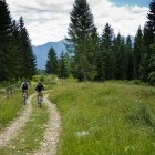
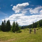
Crossing the meadows -
One more steep section -
Vamos!!!!!! -
Crossing the meadows -
Crossing the meadows -
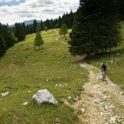
Descent towards Praprotnica alpine meadow -
Praprotnica alpine meadow -
Praprotnica alpine meadow -
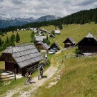
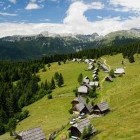
Zajamniki alpine meadow -
Zajamniki alpine meadow -
Descending -
Rest -
Hayrack in Upper Bohinj valley -
In Bohinj