


How to get there:
Leave the motorway 'Ljubljana – Maribor' on exit Slovenske Konjice and simply follow signposts for Rogla. It is 16 km and 1200 m of ascent from the motorway to Rogla. Park by a football field and hotel Planja.
Description:
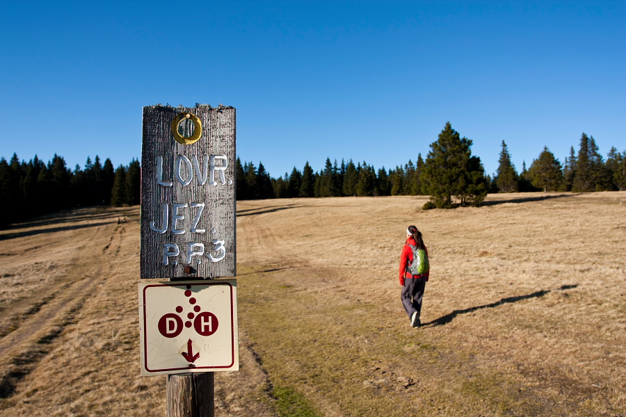
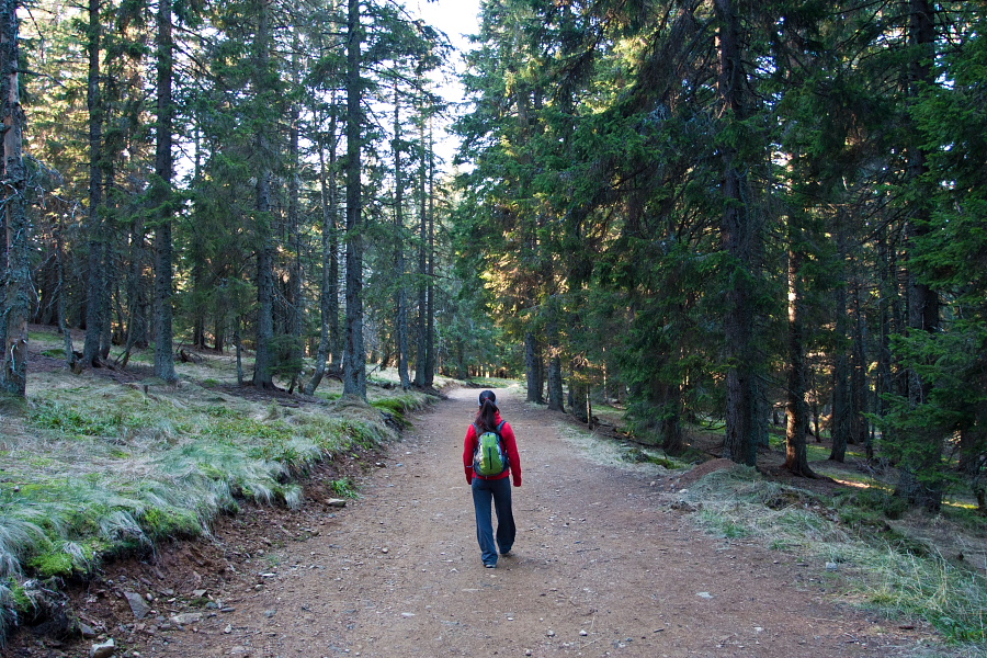
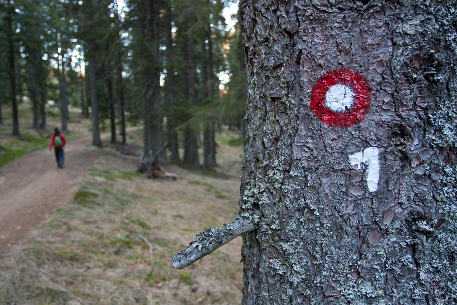
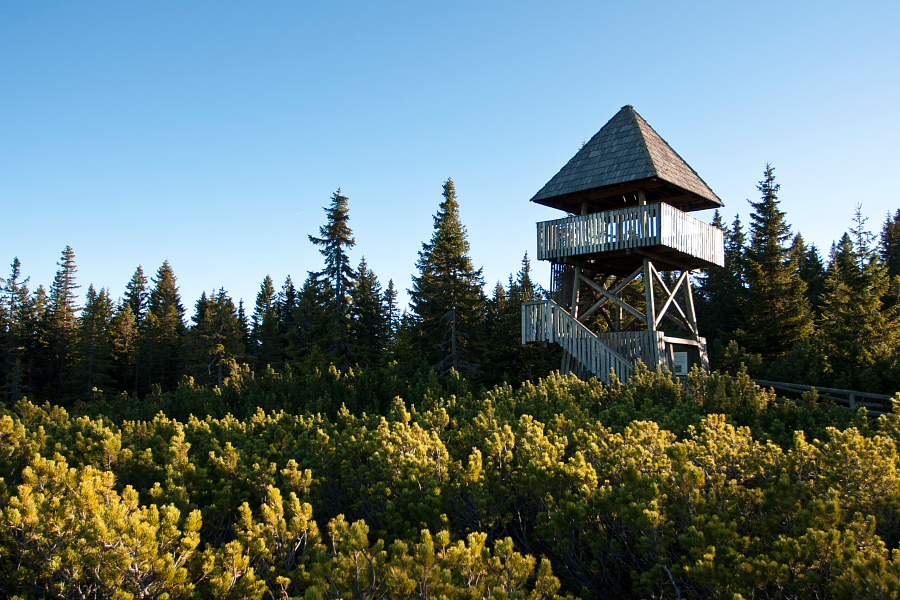
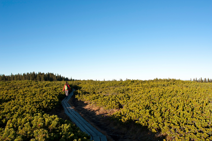
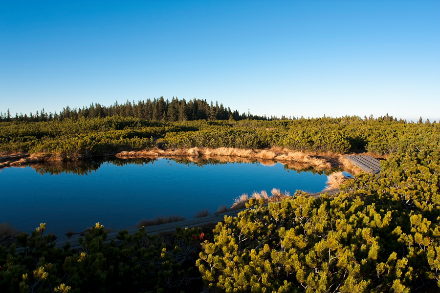
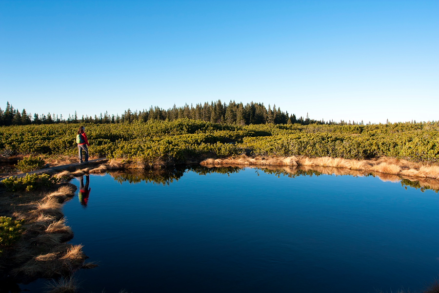
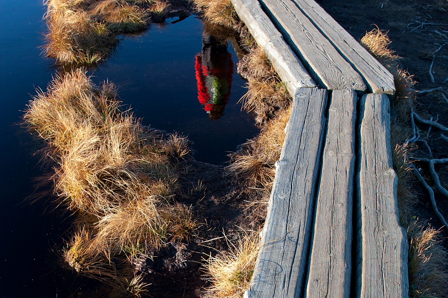
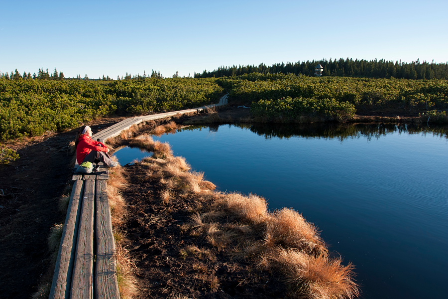
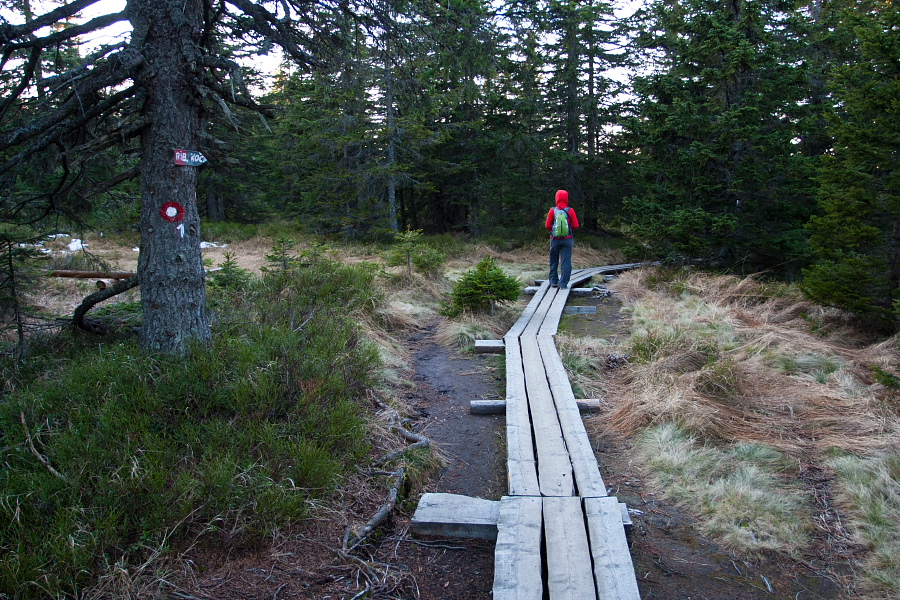
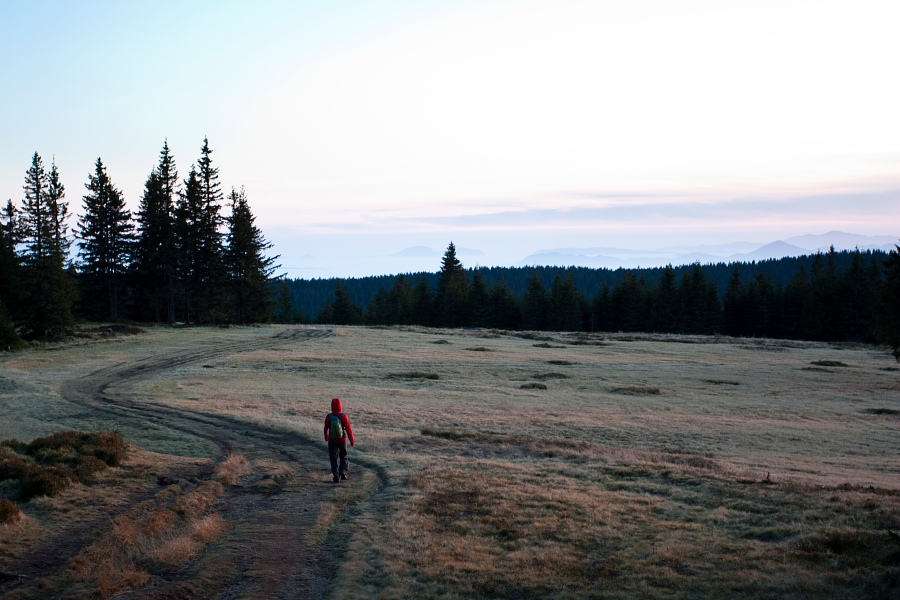
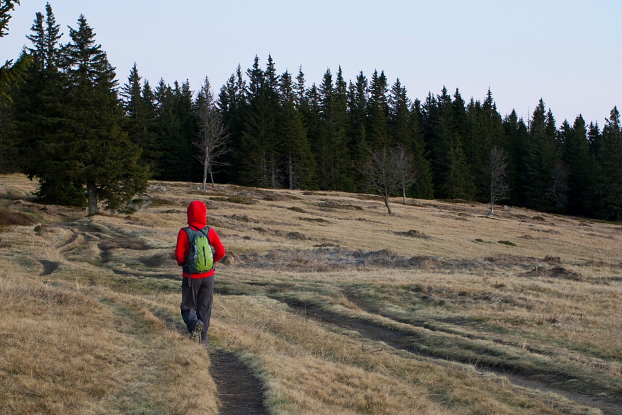
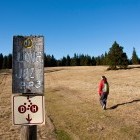
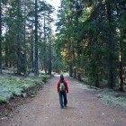
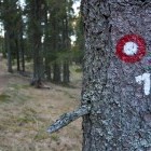
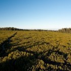
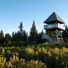
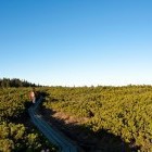
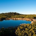
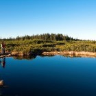
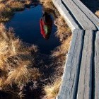
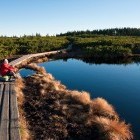
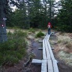
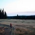
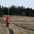
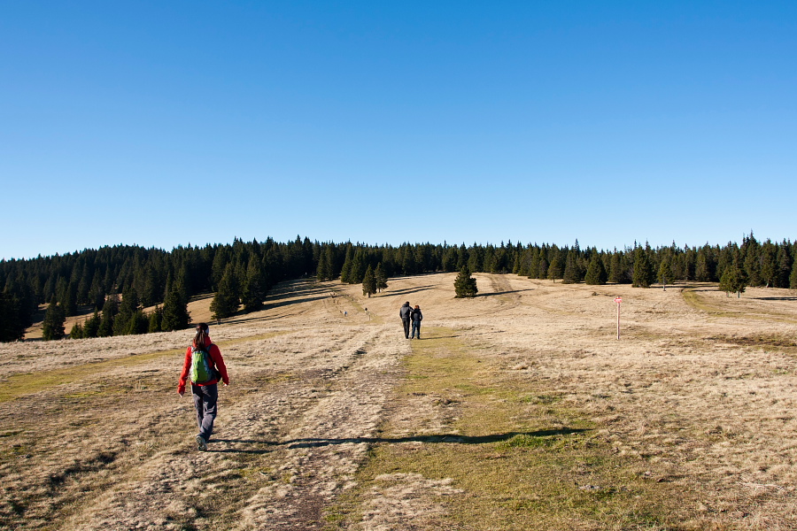
Start the circular route at Rogla ski slopes. Follow a trail between a football field and a water reservoir and continue underneath a chairlift towards a large meadow (direction north-west). Soon you will notice the first signposts for Lovrenška Lakes. Follow route no. 2 on a rather wide road. All intersections are nicely marked and the path runs mostly through the woods. In a good hour of walking you will come to wooden footbridges that start in front of the moor. Ascend onto a wooden tower for a view of the moor, which actually has two parts separated by a strip of forest. The moor was created as a mineral moor on a impervious geologic surface. Peat has piled on it for 8000 years and is almost 3 meters thick in the central part. There is no river or stream flowing into the moor - it fuels only with rain water. The number of the lakes and their size varies throughout the year, and the color of the water is nearly black as the bottom of the lakes continues into the peat.
On wooden footbridges you can walk into the heartland of the moor where the lakes are. The nature is tranquil and intact, so let's keep it that way. Return to the outskirts of the moor and proceed to the right. Follow the wooden footbridges towards 'Ribniška Koča', and when the bridges come to an end, turn sharply to the left towards Rogla. The path is well marked and very panoramic and sunny. We are back at Rogla in a good hour.
Basi info:
Duration: 2.30 h
Length: 10 km
Altitude difference: 270 m
Type of path: easy marked path
Gallery
-
On the way to Lovrenška Lakes -

On the way to Lovrenška Lakes -
On the way to Lovrenška Lakes -
In the woods... -
The moor from the wooden tower -
The tower -
Lovrenška Lakes -
Lovrenška Lakes -
Lovrenška Lakes -
Reflection in the black water -
Lovrenška Lakes -
Going back to Rogla from Lovrenška Lakes -
Going back to Rogla from Lovrenška Lakes -
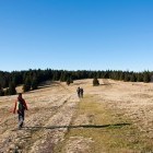
Walking on the meadows -
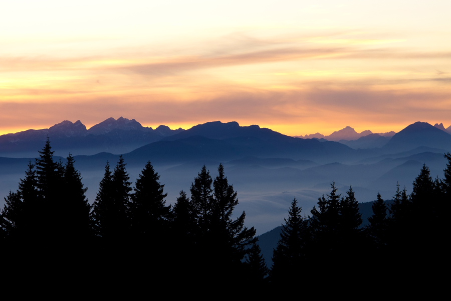
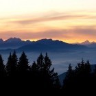
View towards the Alps