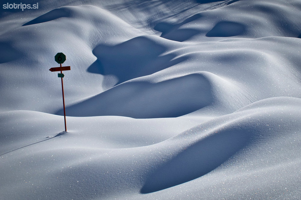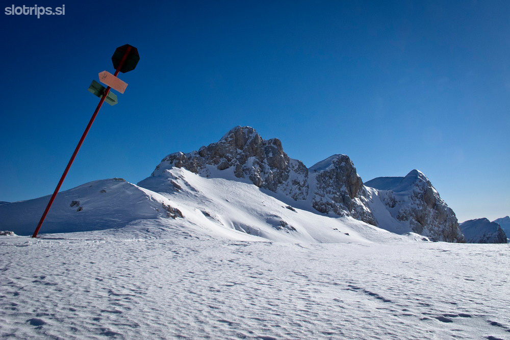


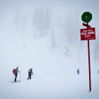
The Triglav backcountry skiing route was already created in the 70s and marked with winter signposts on high poles and trees. These markings have been left unmaintained from then on. Many of them are broken which makes orientation everything but easy in some parts. Especially the area around Komna is like a labyrinth and can cause some serious troubles in dense fog. Unless a guide accompanies you, you must have a detailed map of Julian Alps and a gps.
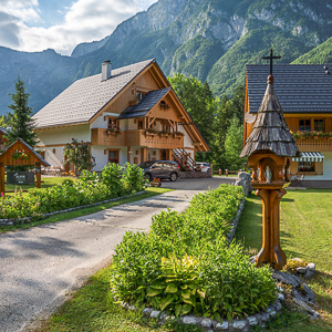
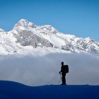
The adventure begins at Vogel ski resort which can be reached by a cable car from Bohinj. Then head west across the beautiful valleys and basins to reach the Komna hut. The hut is open during winter as well and offers hotel-like comfort and food. On the next day head out to the valley of 7 Triglav lakes and spend the night in a bivouac at Prehodavci. This bivouac is not supplied, so bring your own food, beverages and sleeping bag. The third day brings an ascent to Hribarice plateau (also to the summit of Kanjavec if you wish) and a descent through Velska valley to 'Velo polje'. Ascend from there across 'Konjsko sedlo' mountain pass to the mountain hut Kredarica. This is where you sleep for the last time and the cabin is only partly supplied. It doesn’t have a heating system, but some food and drinks are provided by the weather station employees working here. The next morning you can go to the summit of Triglav itself, without the ski gear of course. After that, just cross the Triglav glacier and descend into Krma valley. A stunningly beautiful adventure in Slovenian Alps that can be shortened or prolonged as you please.
In our case, we travelled 54 km across the Julian Alps, ascended 3000 m and skied downwards for 3700 altitude meters. The day by day description goes as followed:
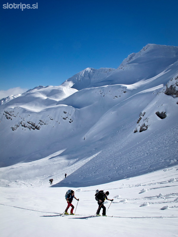
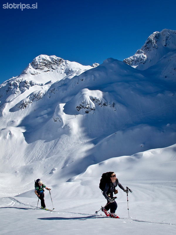
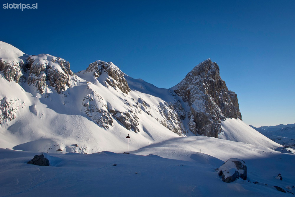
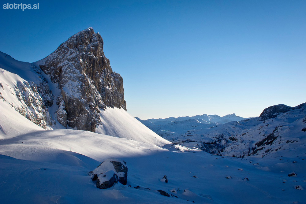
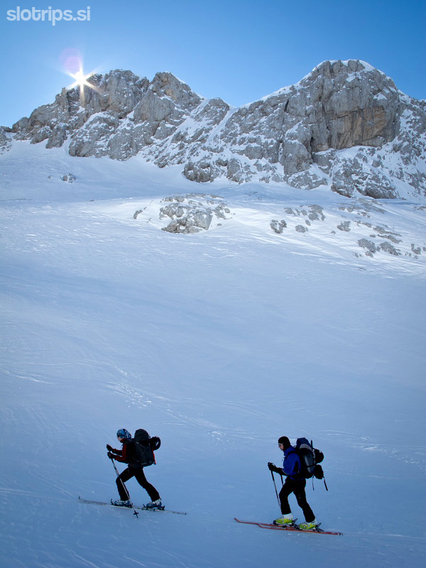
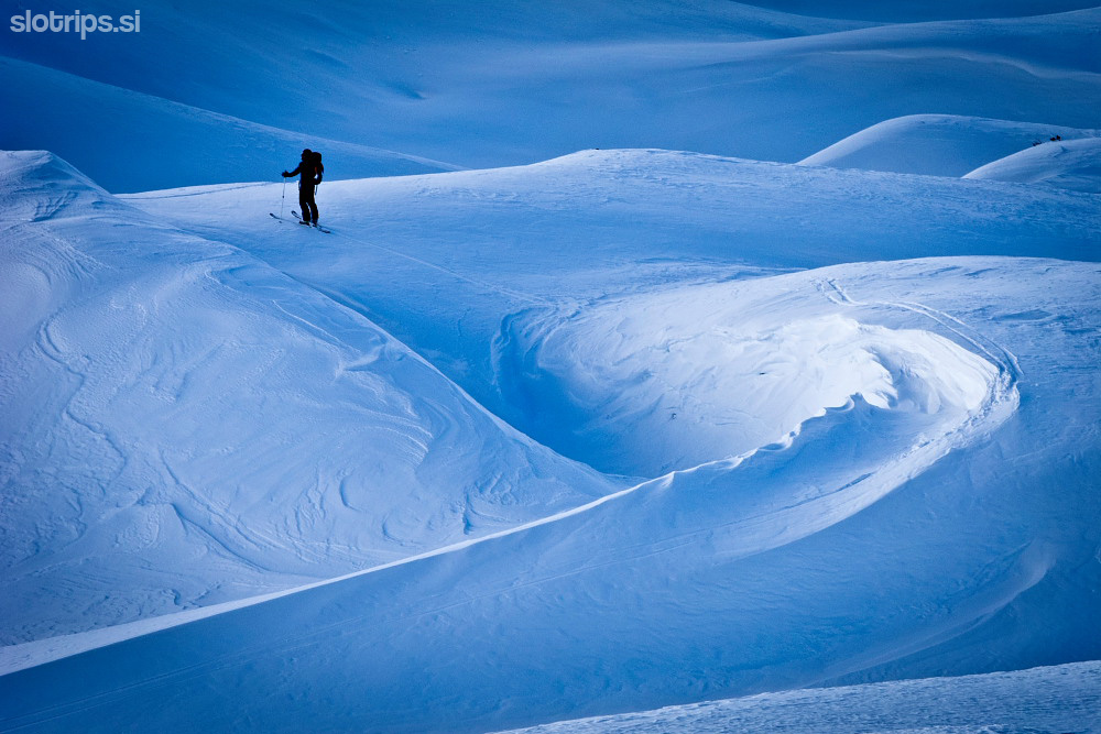
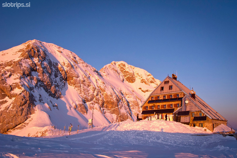
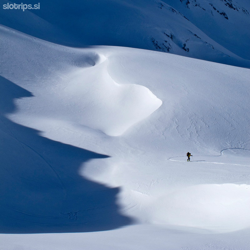
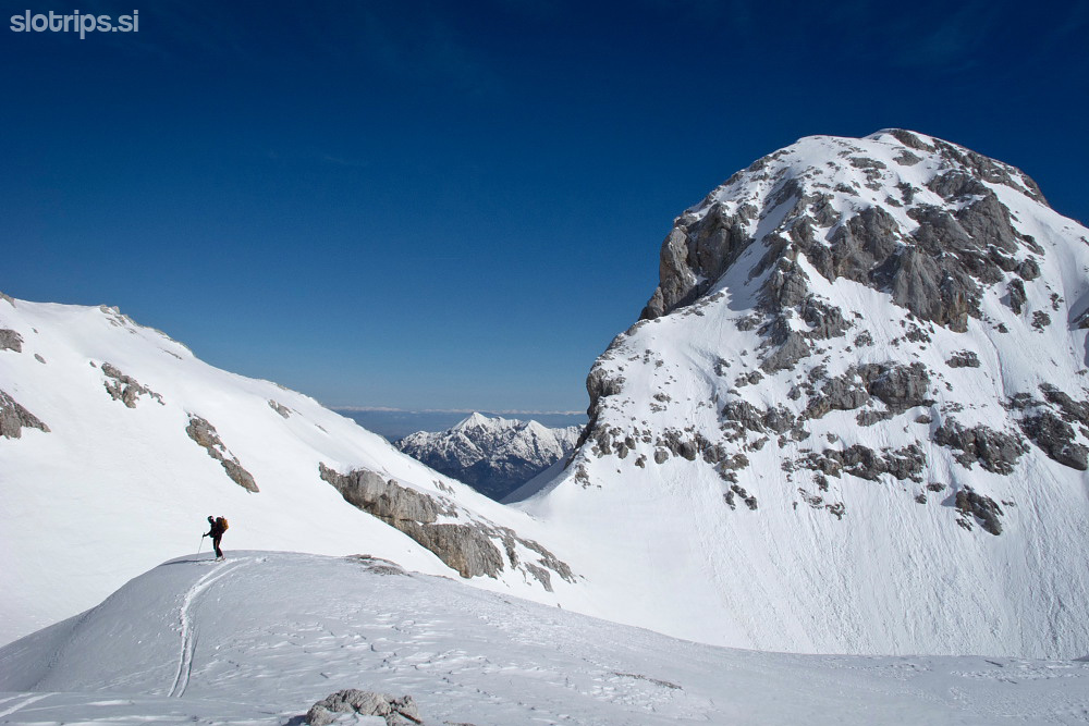
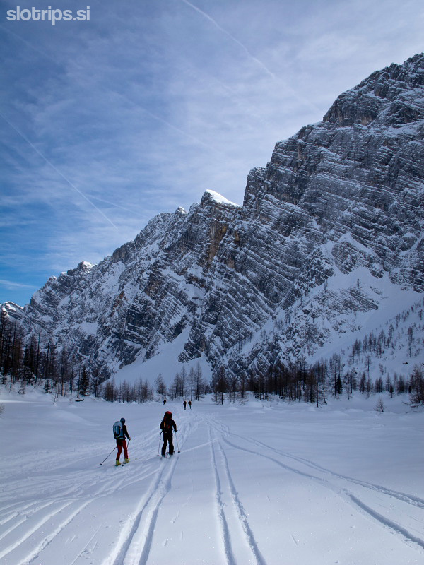
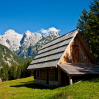
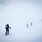
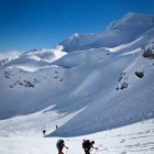
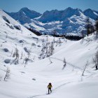
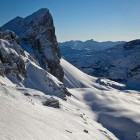
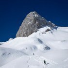
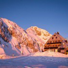
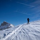
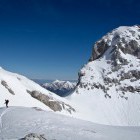
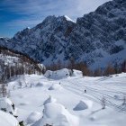
Day 1: Vogel ski resort - Komna hut
6 h, 14 km, 930 m ascents, 950 m descents
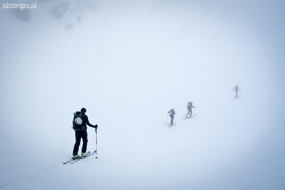
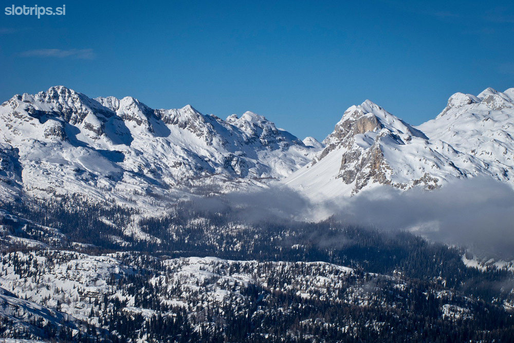
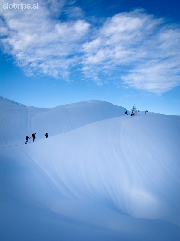
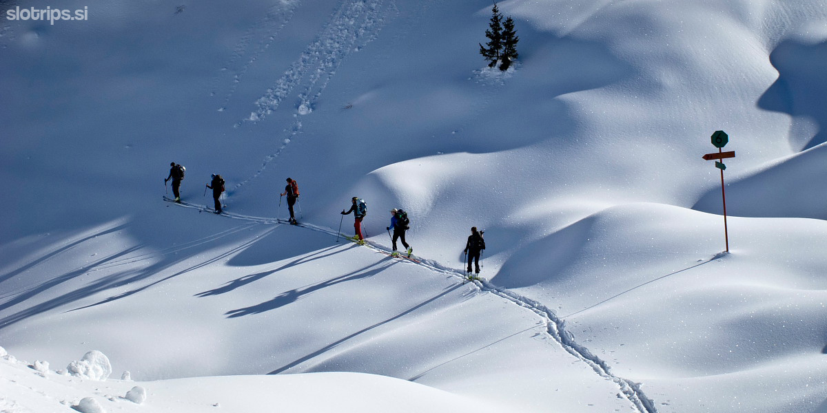
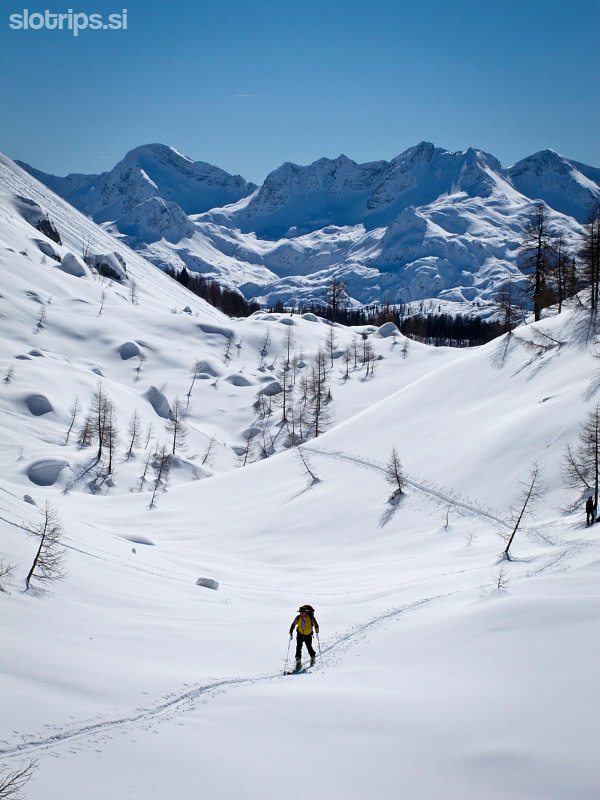
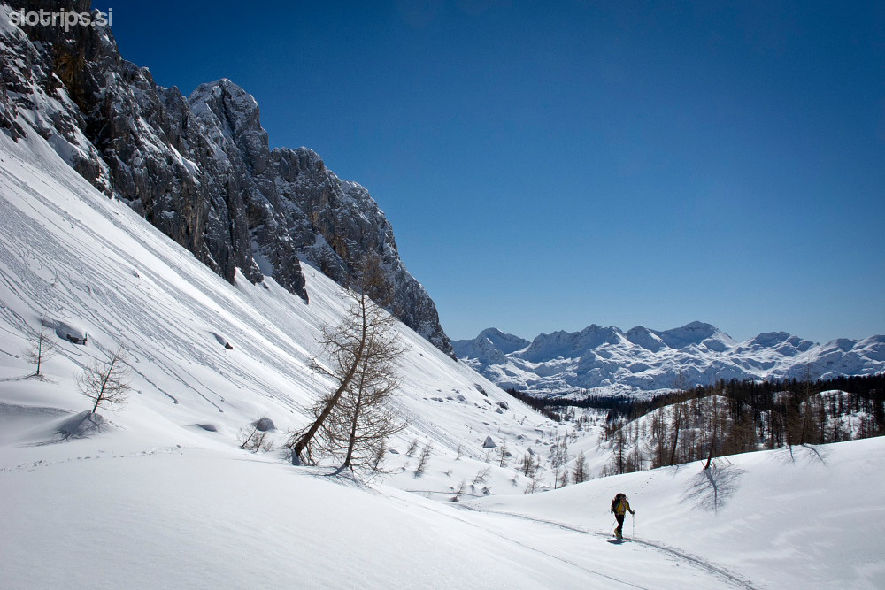
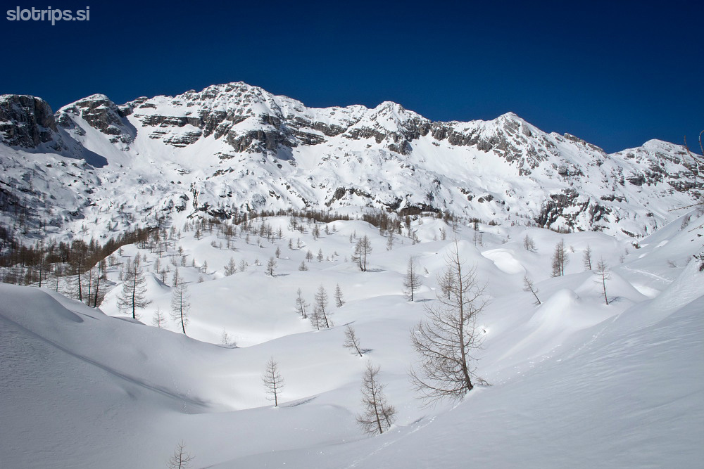
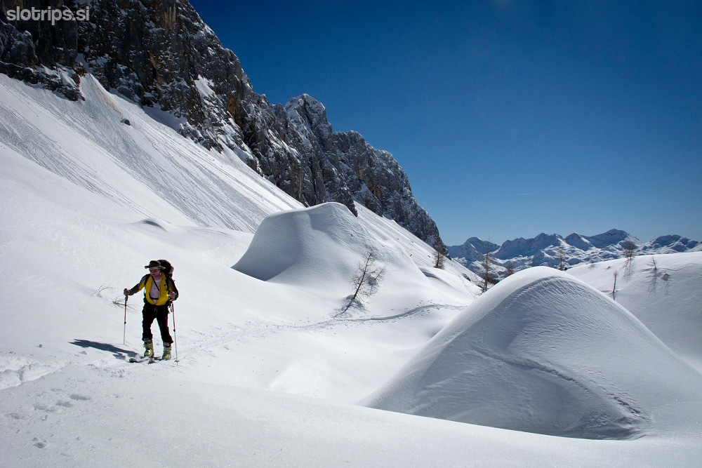
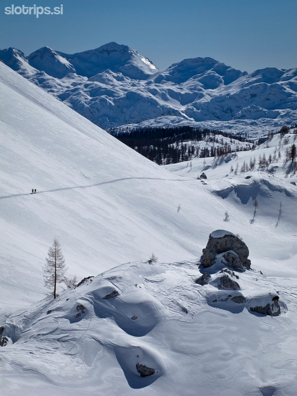
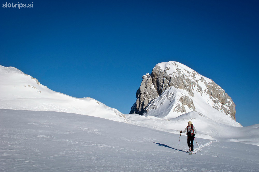
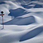
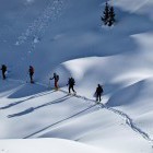
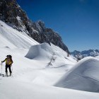
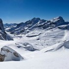
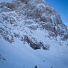
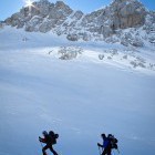
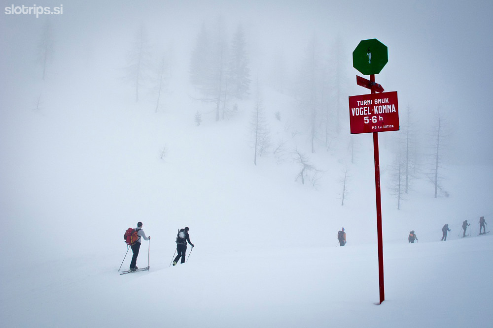
From the upper cable car station cross the ski pistes towards Zadnji Vogel alpine meadow. That is where you will spot the first winter signpost of the 'Triglav backcountry skiing route'. Head towards west through a forest and ascend onto 'Konjsko sedlo' mountain pass right next to the ridge of Lower Bohinj mountains. After that descend into the basin called 'Snežna konta' and then ascend onto a mountain pass between the summits of Mohor and Podrta gora. The winter signposts guide you into 'Tolminska lakev' basin. But it may be better to go a bit further uphill to 'Govnjaški Kuk' and descend across a pleasantly sloping terrain to Govnjač alpine meadow. Here you put the skins back on your skis and reach the warm shelter of the Komna hut in less than half an hour.
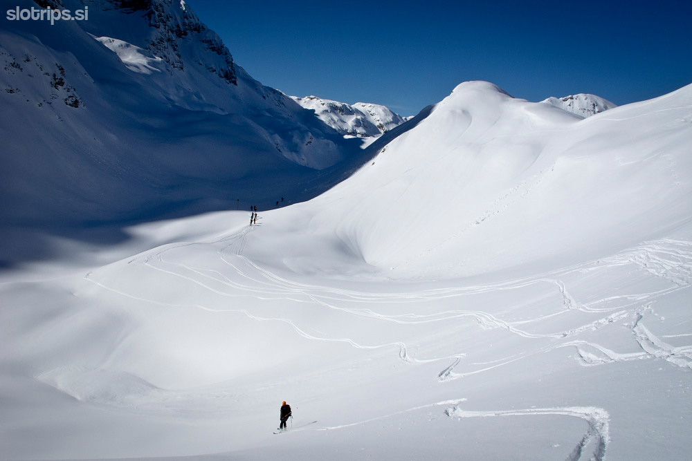
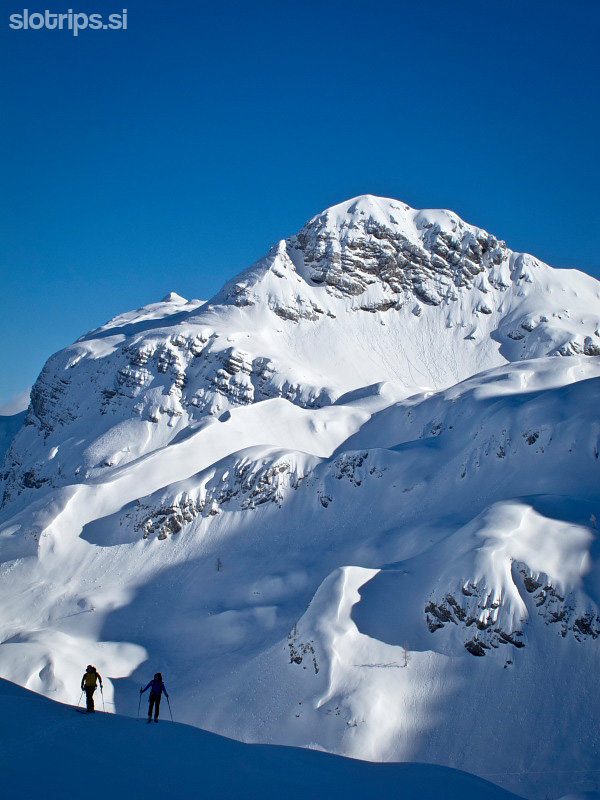
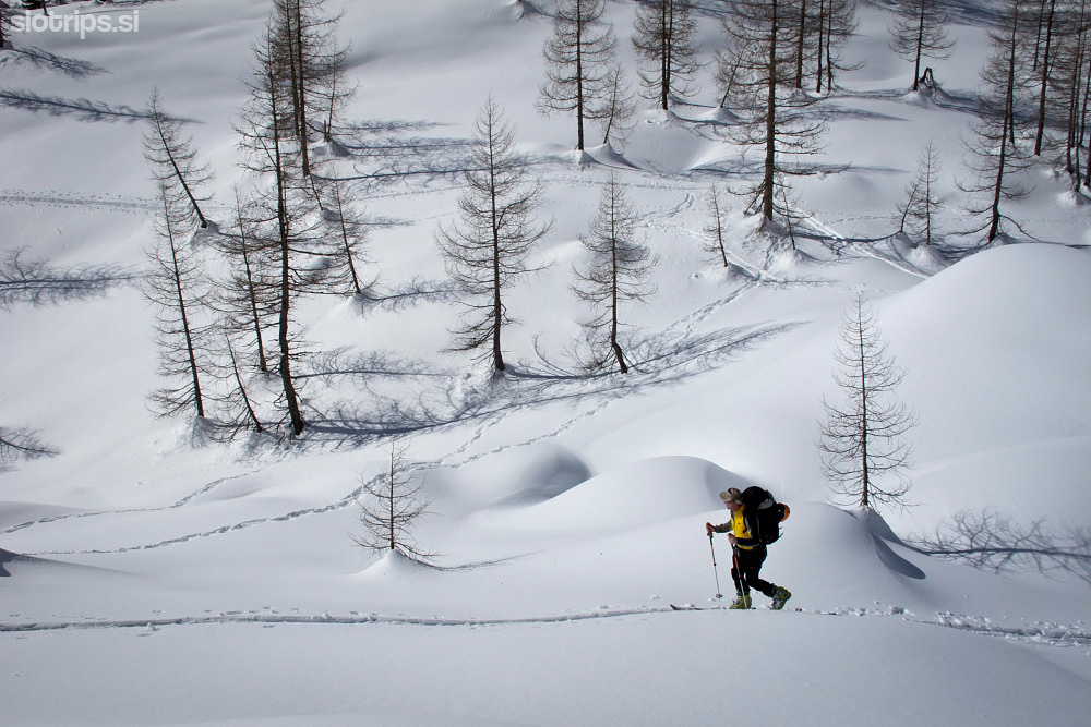
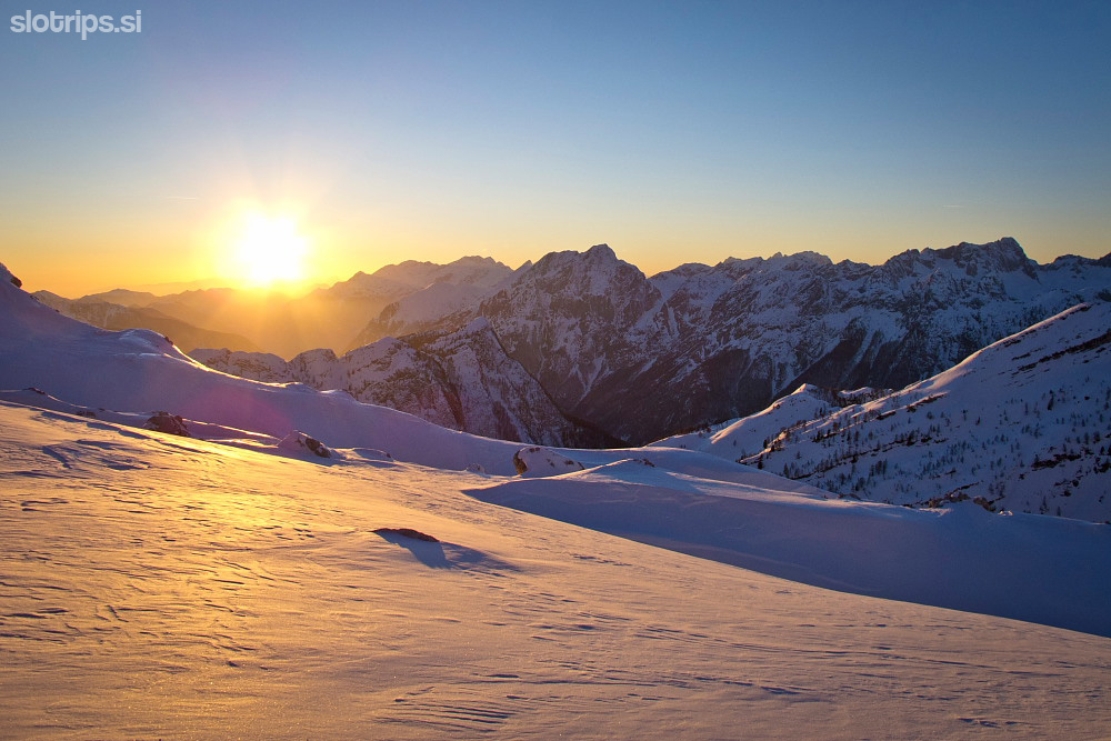
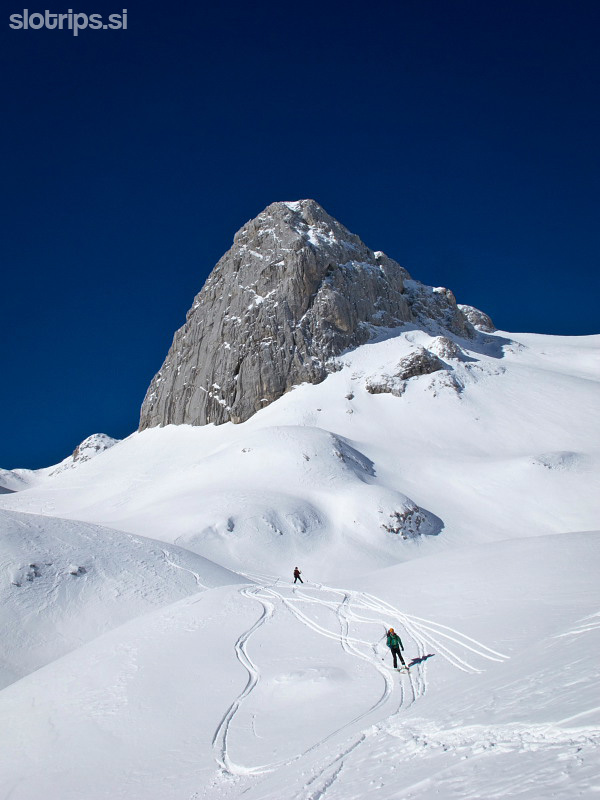
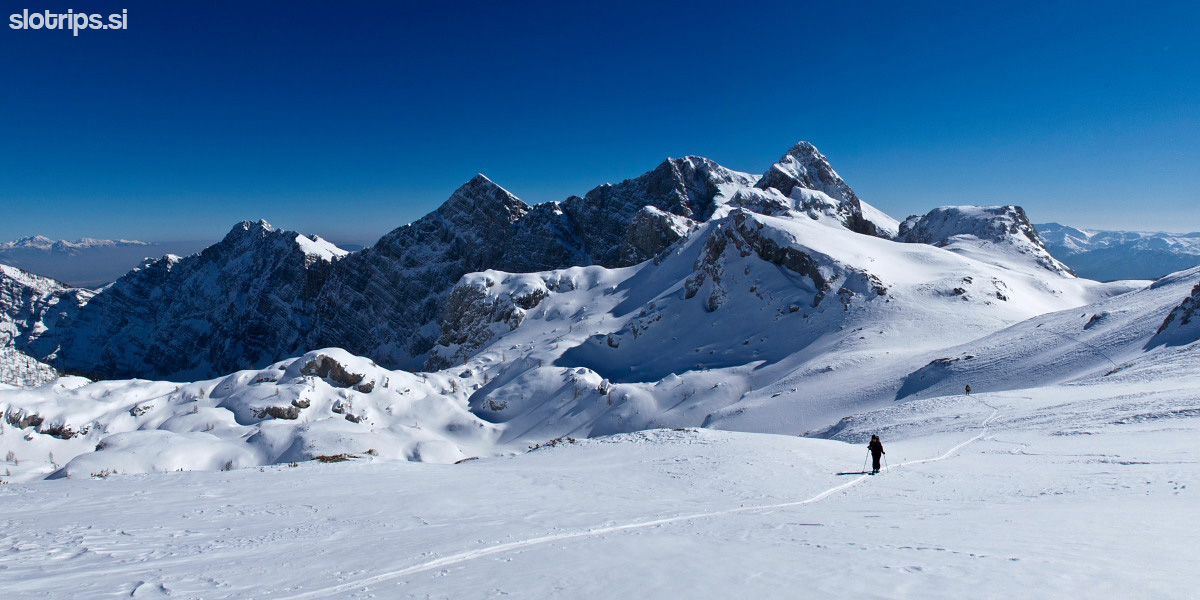
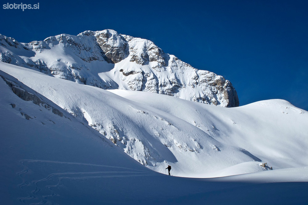
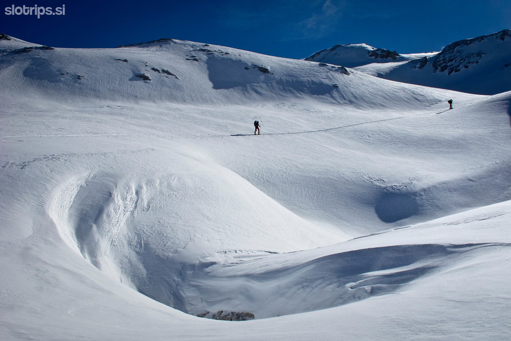
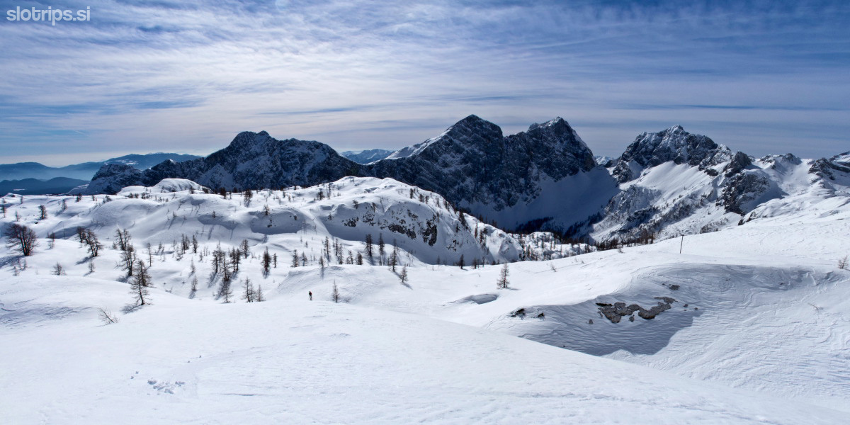
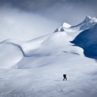
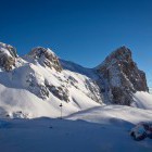
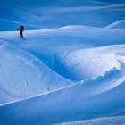
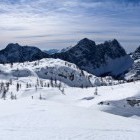
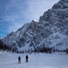
Day 2: Komna hut - Prehodavci bivouac
5.5 h, 13 km, 780 m ascents, 250 m descents
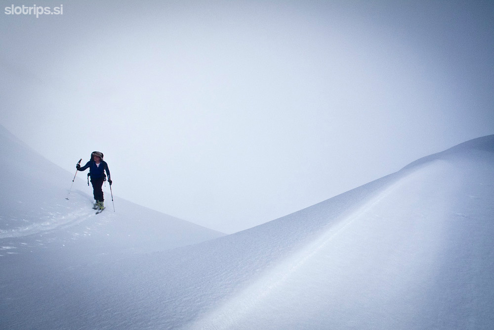
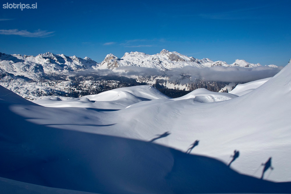
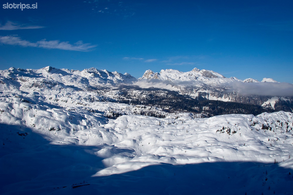
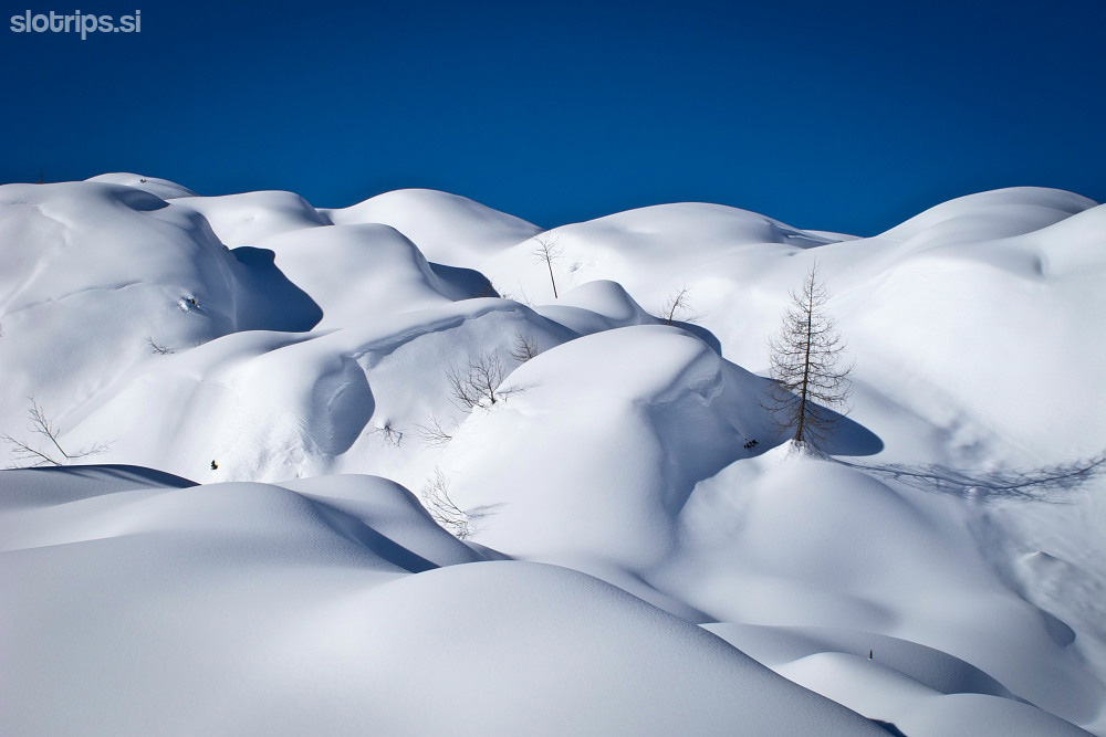
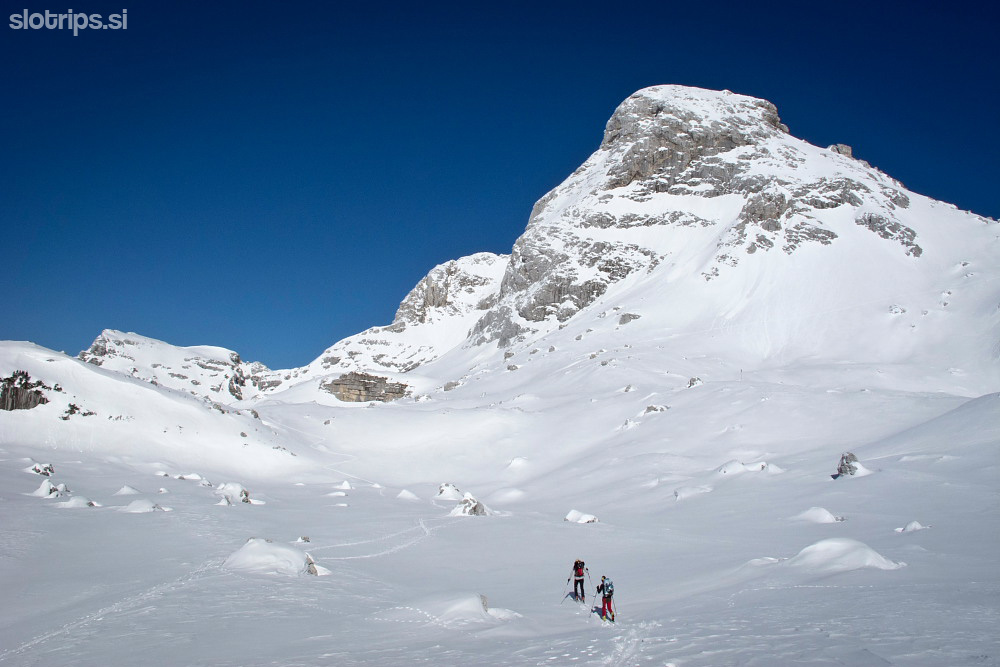
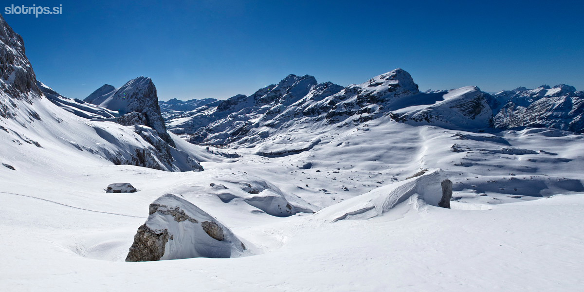
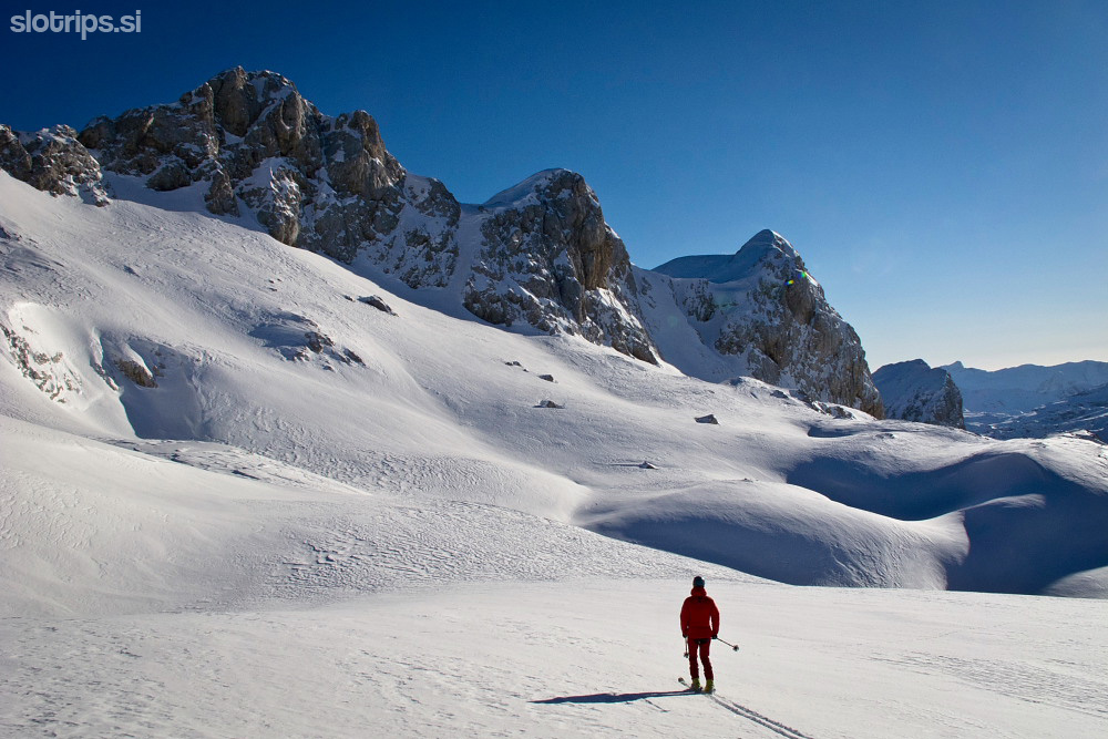
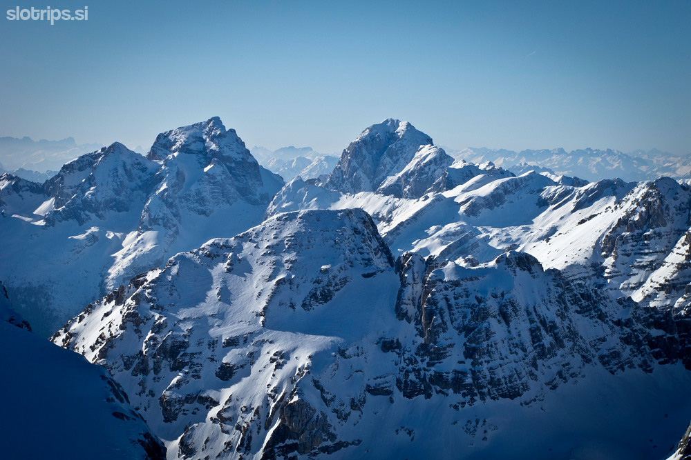
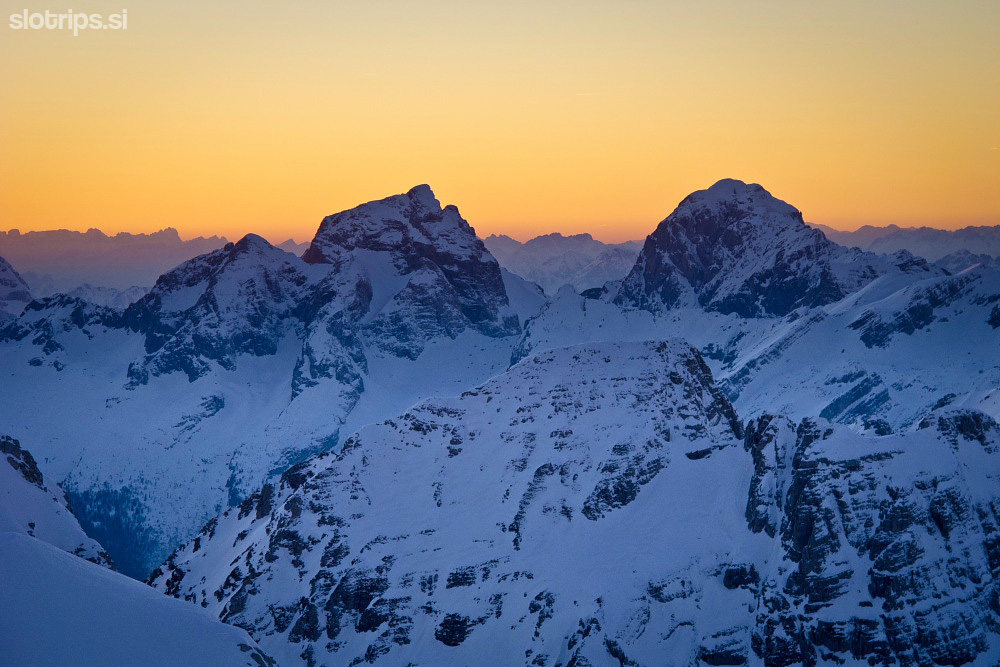
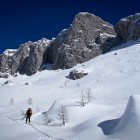
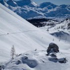
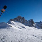
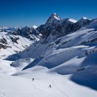
From the Komna hut go along the summer path across 'Lepa Komna' and 'Lopučnica' to the 7 Triglav lakes hut (closed in winter). This section is the most difficult for orientation, but the landscape is magical. Then simply proceed to the north along the valley of 7 Triglav lakes and at the end you'll reach the Prehodavci bivouac, where you spend the night. This day is physically least demanding and you may have some energy left to ascend the nearby Mt. Kanjavec - an excellent ski touring peak!
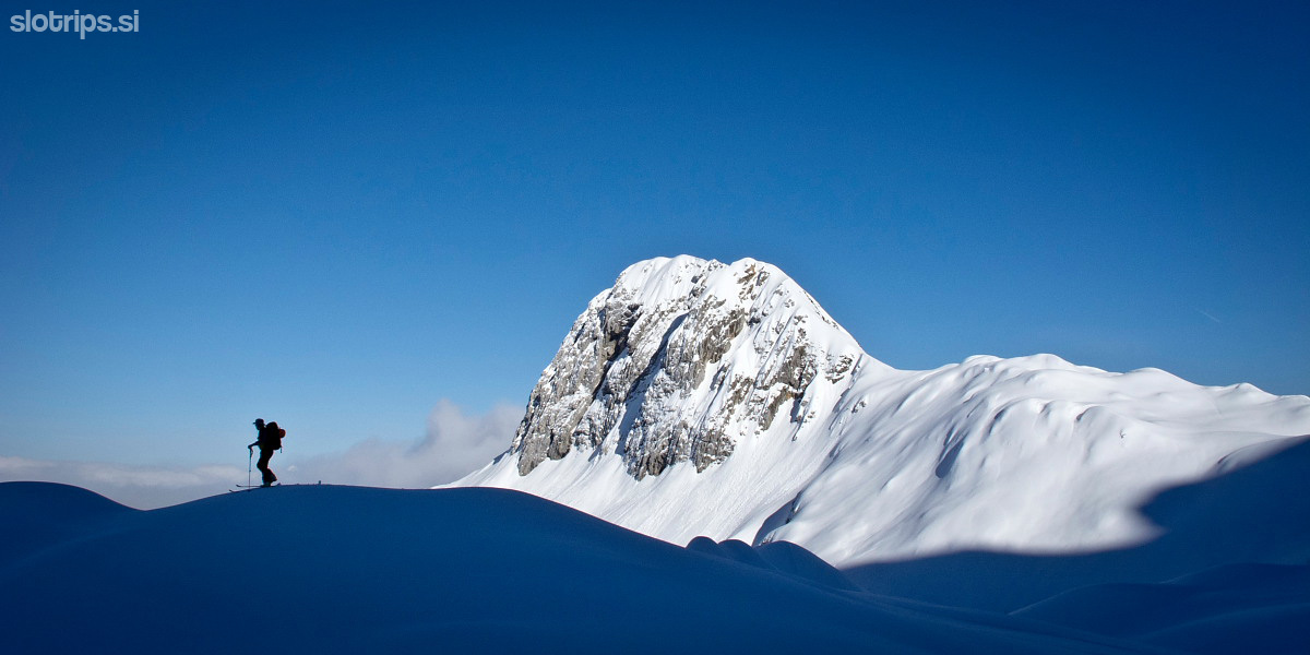
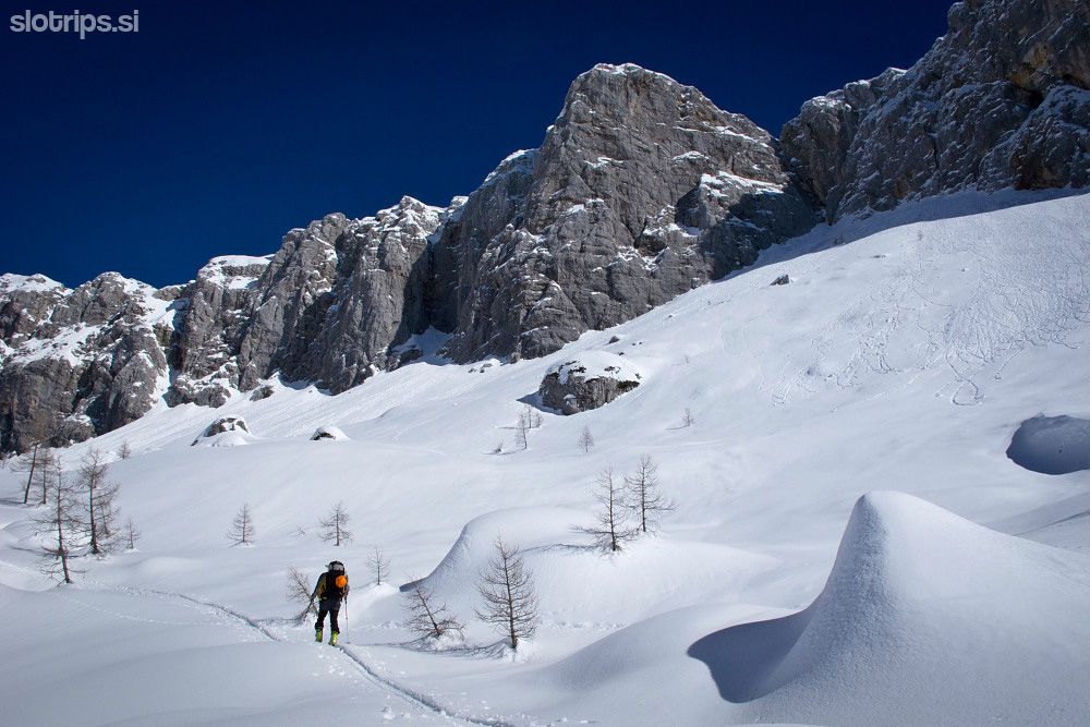
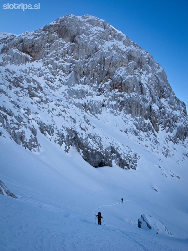
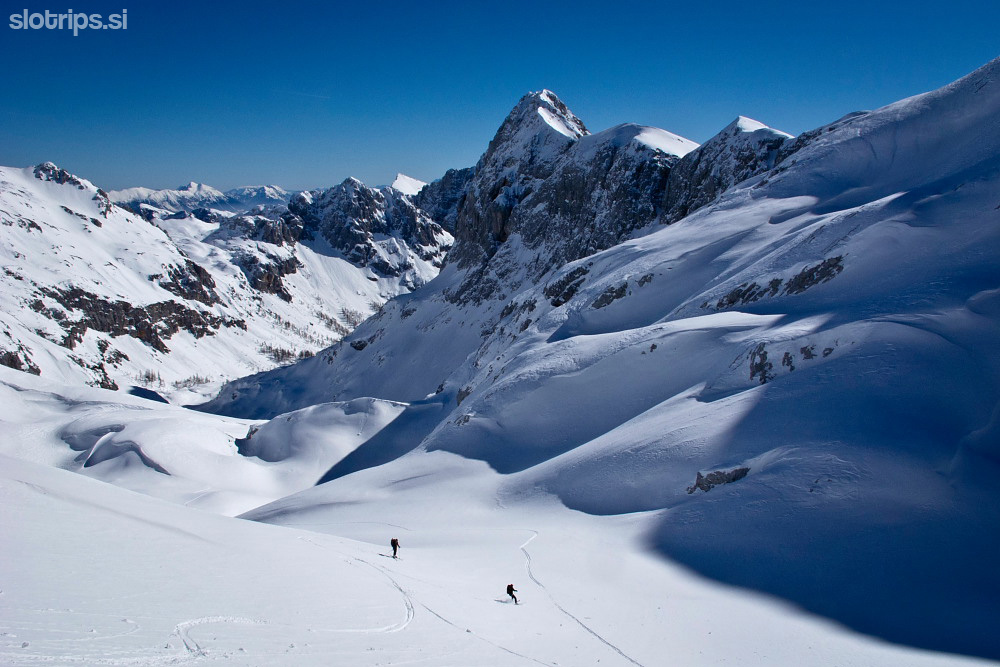
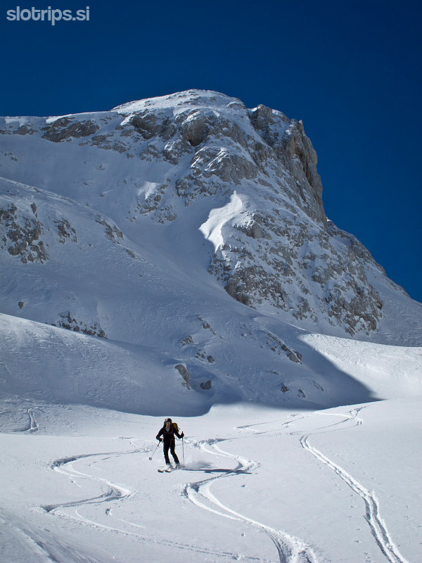
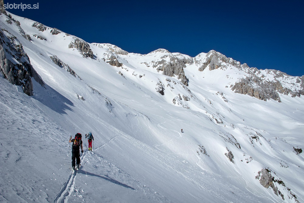
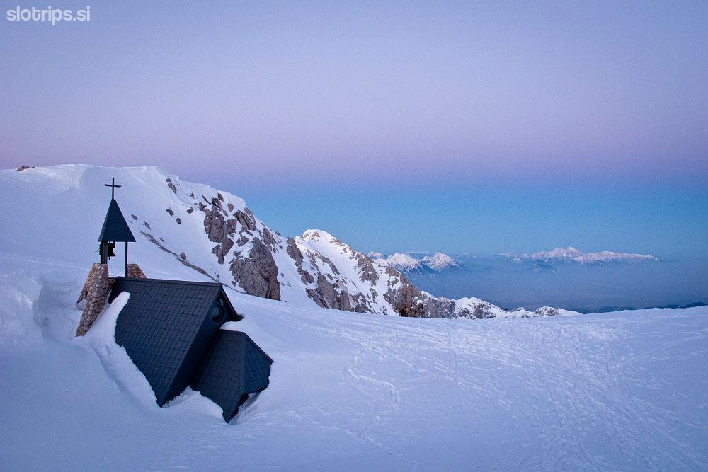
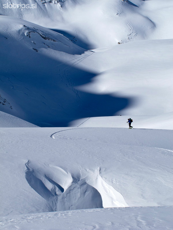
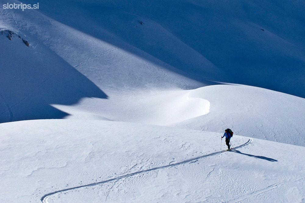
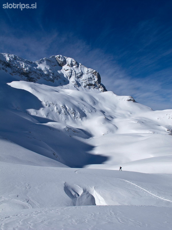
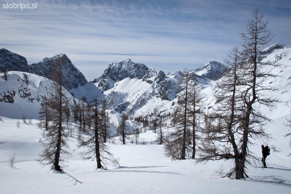
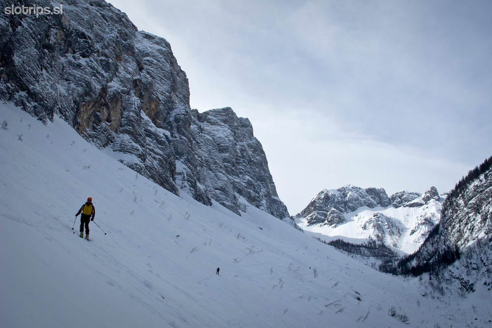
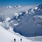
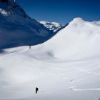
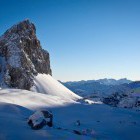
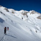
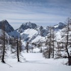
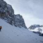
Day 3: Prehodavci bivouac - Kredarica hut below Triglav
5.5. h, 10,5 km, 1100 m ascents, 650 m descents
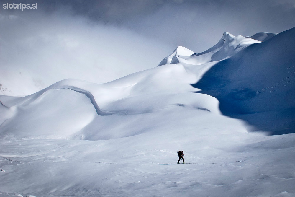
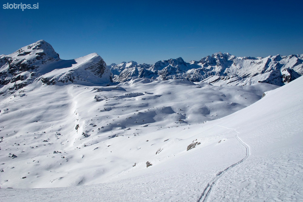
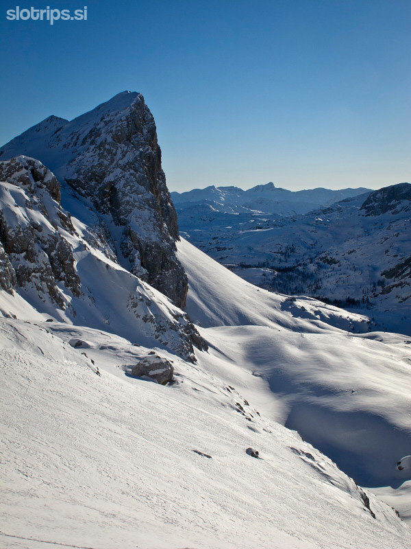
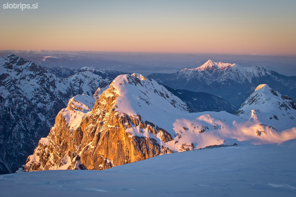
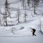
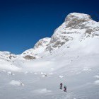
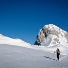
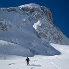
In the morning, make the ascent onto the Hribarice plateau right beneath Kanjavec. Then descend through the gorgeous Velska valley to 'Velo polje'. Once you reach the flat terrain in the valley, head left and ascend steeply onto the second 'Konjsko sedlo' mountain saddle of this route. A view onto Krma valley and Kredarica hut opens from there. Keep left and proceed straight to Kredarica hut.
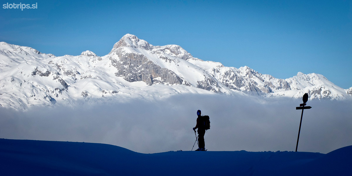
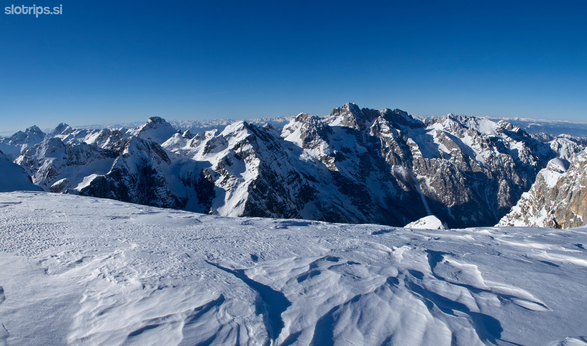
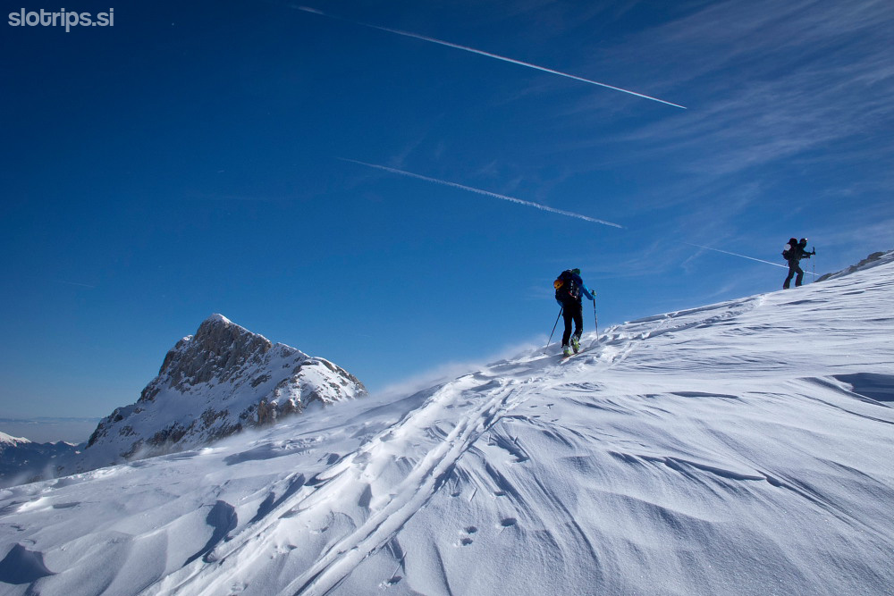
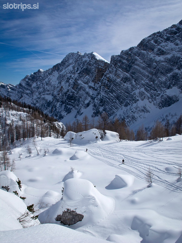
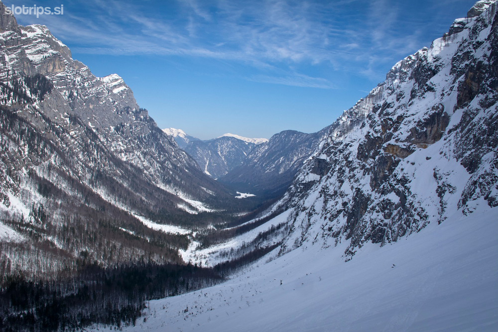
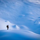
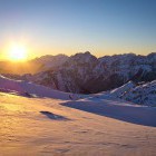
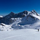
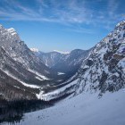
Day 4: Kredarica hut below Triglav - Krma valley
3.5 h, 16.5 km, 200 m ascents, 1850 descents
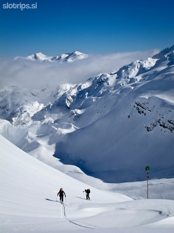
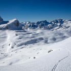
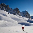
You can ascend to the very summit of Triglav (highest mountain in Slovenia) if you wish. Then ski northwards across the former Triglav glacier. Keep right and descend into basin below Mt. Begunjski Vrh. After that, you ascend for one last time past Stanič hut towards 'Dovška Vratca' saddle and descend towards Krma valley. Orientation here is difficult and you have to be quite careful not to end up on the edge of the towering walls. In the lower section you merge with the standard 'Krma - Kredarica' path and hurry off to Krma valley. Your transport back to the starting point has to be arranged in advance...
Difficulty:
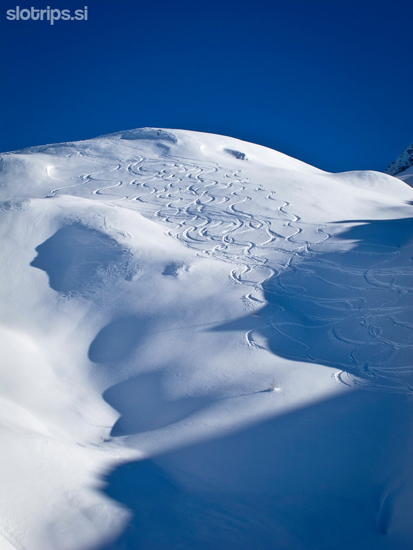
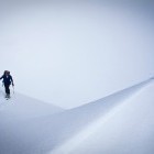
The route itself is physically very demanding. You'll have to carry around quite a lot of equipment which makes the backpacks heavy. The section around Komna and the descent from Dovška vratca towards Krma are problematic for orientation even in good weather. I strongly advise against this trip in bad weather or fog. When the snow conditions are well, the route is not that technically demanding. However, you have to be careful when crossing some steep sections. Complete winter gear is a must!
Here is another longer video of the Triglav Haute Route by passionate Slovenian skiing youngsters.
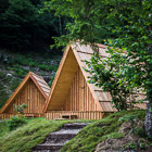
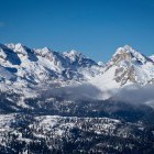
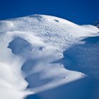
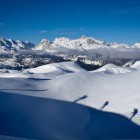
Gallery
-
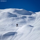
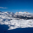
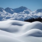
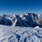
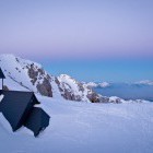
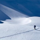
Triglav Haute Route, Ski touring adventure, Day 1 -

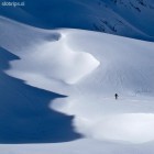
Triglav Haute Route, Ski touring adventure, Day 1 -
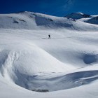
Triglav Haute Route, Ski touring adventure, Day 1 -
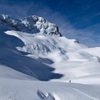
Triglav Haute Route, Ski touring adventure, Day 1 -
Triglav Haute Route, Ski touring adventure, Day 1 -
Triglav Haute Route, Ski touring adventure, Day 1 -
Triglav Haute Route, Ski touring adventure, Day 1 -
Triglav Haute Route, Ski touring adventure, Day 1 -
Triglav Haute Route, Ski touring adventure, Day 1 -
Triglav Haute Route, Ski touring adventure, Day 1 -
Triglav Haute Route, Ski touring adventure, Day 1 -
Triglav Haute Route, Ski touring adventure, Day 1 -
Triglav Haute Route, Ski touring adventure, Day 1 -
Triglav Haute Route, Ski touring adventure, Day 1 -
Triglav Haute Route, Ski touring adventure, Day 1 -
Triglav Haute Route, Ski touring adventure, Day 1 -
Triglav Haute Route, Ski touring adventure, Day 1 -
Triglav Haute Route, Ski touring adventure, Day 1 -
Triglav Haute Route, Ski touring adventure, Day 1 -
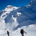
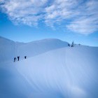
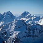
Triglav Haute Route, Ski touring adventure, Day 2 -
Triglav Haute Route, Ski touring adventure, Day 2 -
Triglav Haute Route, Ski touring adventure, Day 2 -
Triglav Haute Route, Ski touring adventure, Day 2 -
Triglav Haute Route, Ski touring adventure, Day 2 -
Triglav Haute Route, Ski touring adventure, Day 2 -
Triglav Haute Route, Ski touring adventure, Day 2 -
Triglav Haute Route, Ski touring adventure, Day 2 -
Triglav Haute Route, Ski touring adventure, Day 2 -
Triglav Haute Route, Ski touring adventure, Day 2 -
Triglav Haute Route, Ski touring adventure, Day 2 -
Triglav Haute Route, Ski touring adventure, Day 2 -
Triglav Haute Route, Ski touring adventure, Day 2 -
Triglav Haute Route, Ski touring adventure, Day 2 -
Triglav Haute Route, Ski touring adventure, Day 2 -
-
Triglav Haute Route, Ski touring adventure, Day 2 -
Triglav Haute Route, Ski touring adventure, Day 2 -
Triglav Haute Route, Ski touring adventure, Day 2 -
Triglav Haute Route, Ski touring adventure, Day 2 -
Triglav Haute Route, Ski touring adventure, Day 2 -
Triglav Haute Route, Ski touring adventure, Day 2 -
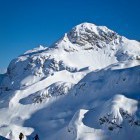
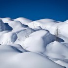
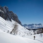
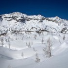
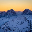
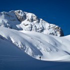
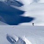
Triglav Haute Route, Ski touring adventure, Day 3 -
Triglav Haute Route, Ski touring adventure, Day 3 -
Triglav Haute Route, Ski touring adventure, Day 3 -
Triglav Haute Route, Ski touring adventure, Day 3 -
Triglav Haute Route, Ski touring adventure, Day 3 -
Triglav Haute Route, Ski touring adventure, Day 3 -
Triglav Haute Route, Ski touring adventure, Day 3 -
Triglav Haute Route, Ski touring adventure, Day 3 -
Triglav Haute Route, Ski touring adventure, Day 3 -
Triglav Haute Route, Ski touring adventure, Day 3 -
Triglav Haute Route, Ski touring adventure, Day 3 -
Triglav Haute Route, Ski touring adventure, Day 3 -
Triglav Haute Route, Ski touring adventure, Day 3 -
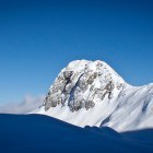
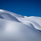
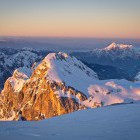
Triglav Haute Route, Ski touring adventure, Day 4 -
Triglav Haute Route, Ski touring adventure, Day 4 -
Triglav Haute Route, Ski touring adventure, Day 4 -
Triglav Haute Route, Ski touring adventure, Day 4 -
Triglav Haute Route, Ski touring adventure, Day 4 -
Triglav Haute Route, Ski touring adventure, Day 4 -
Triglav Haute Route, Ski touring adventure, Day 4 -
Triglav Haute Route, Ski touring adventure, Day 4 -
Triglav Haute Route, Ski touring adventure, Day 4 -
Triglav Haute Route, Ski touring adventure, Day 4 -
Triglav Haute Route, Ski touring adventure, Day 4 -
Triglav Haute Route, Ski touring adventure, Day 4 -
Triglav Haute Route, Ski touring adventure, Day 4 -
Triglav Haute Route, Ski touring adventure, Day 4 -
Triglav Haute Route, Ski touring adventure, Day 4