


Starting point:
On the road 'Bohinjska Bistrica – Lake Bohinj' behind the village of Laški Rovt turn left at the first possible split onto a dirt road on which you continue for about 7 km. The road ascends constantly; keep left at the first crossroad and then follow the 'main' road. On a larger crossroad of equivalent roads go left and after about 100 m you will notice a small signpost for 'Planina Suha' meadow on your right. Park here (1060 m). Depending on the snow level you might be forced to park much lower or start the tour on Vogel ski resort (see also the description of the ascent to Rodica).
Description:
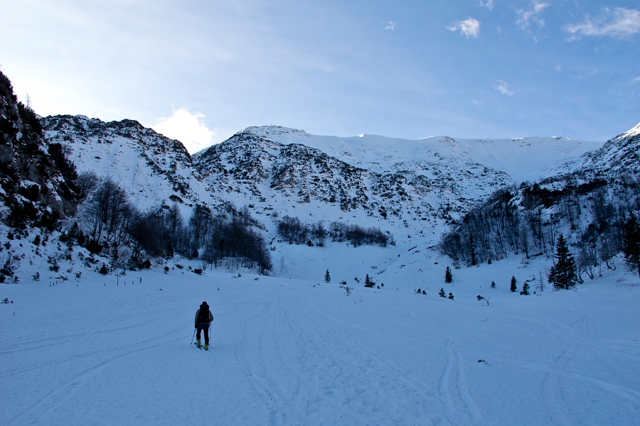
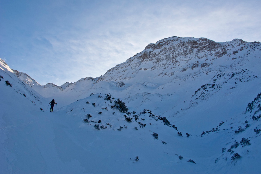
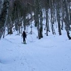
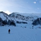
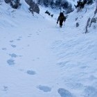
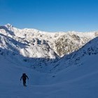
From the above described parking continue through the forest in the direction of a signpost and the marked summer path towards Suha meadow. At first follow a flat terrain by a stream, then ascend in two hairpins aross a steeper terrain and continue towards south-west. This path is quite popular, if the above described road is negotiable (due to snow). Therefore you shouldn't have any problems with orientation and the markings on the trees help as well.
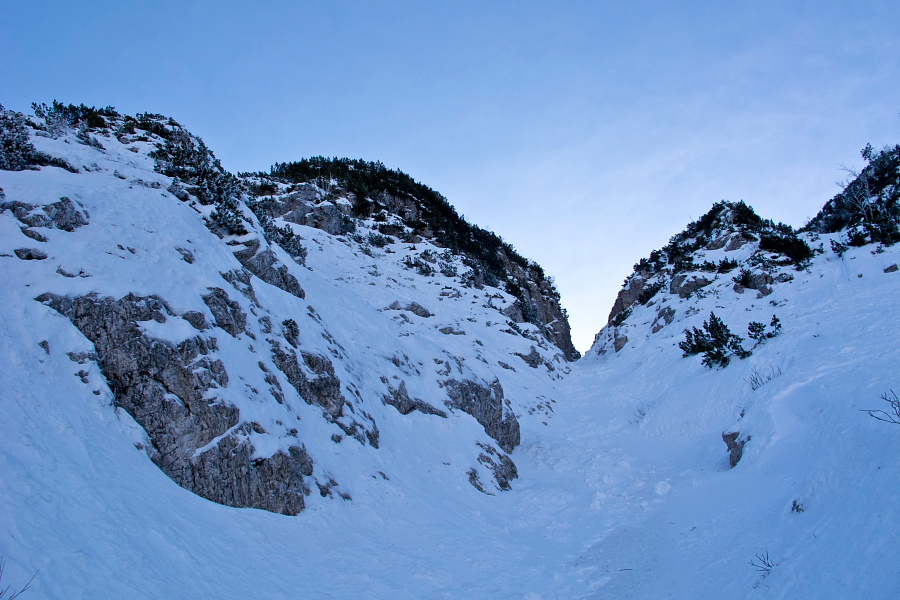
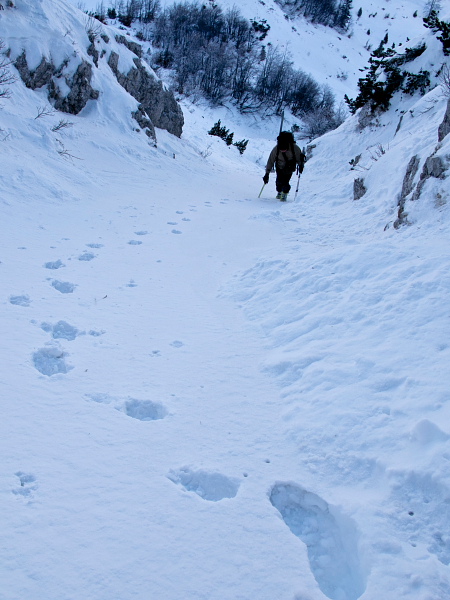
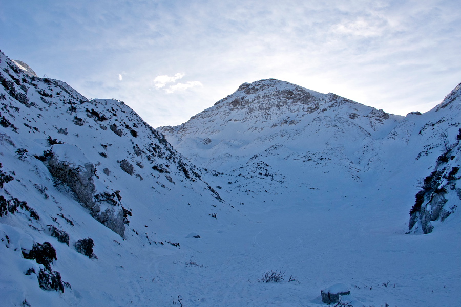
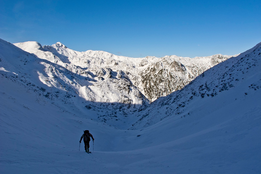
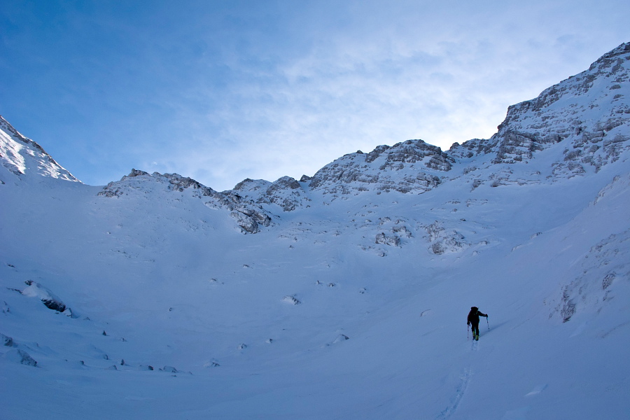
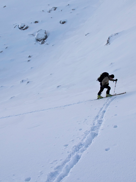
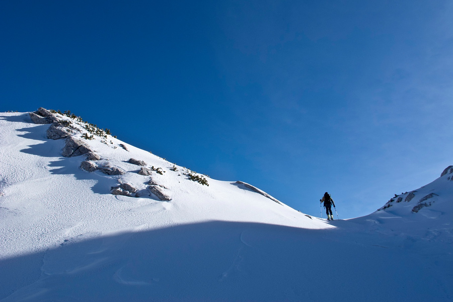
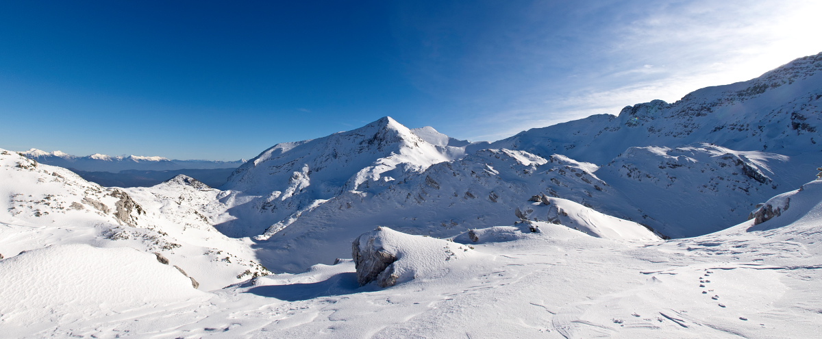
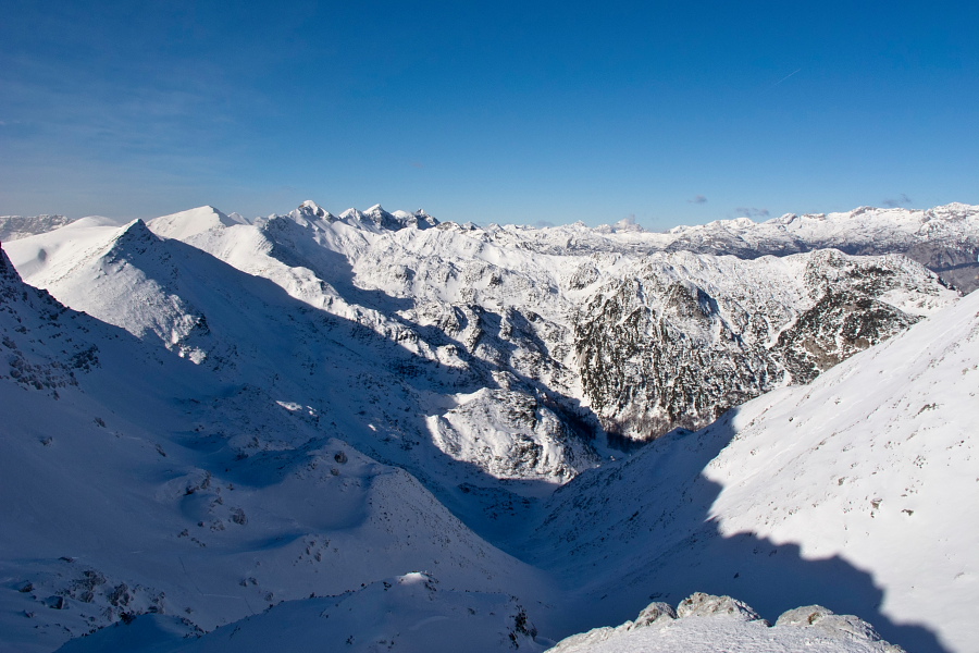
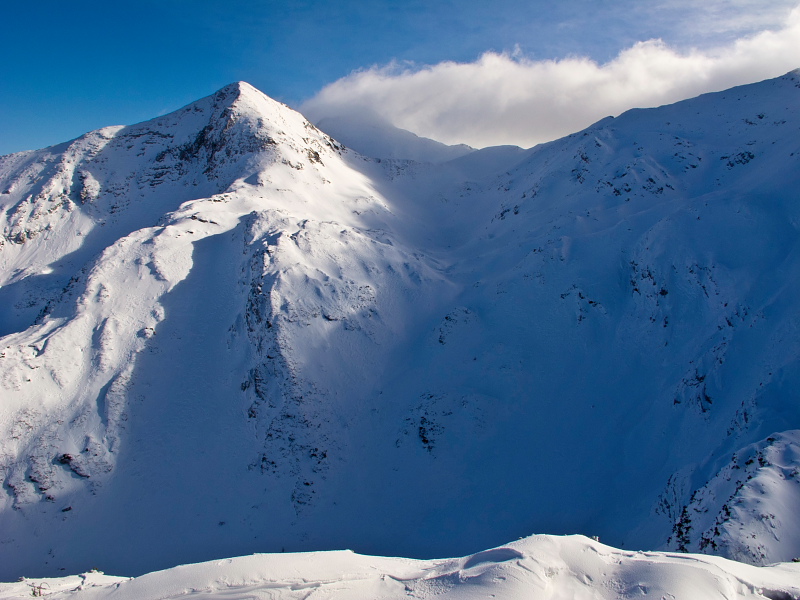
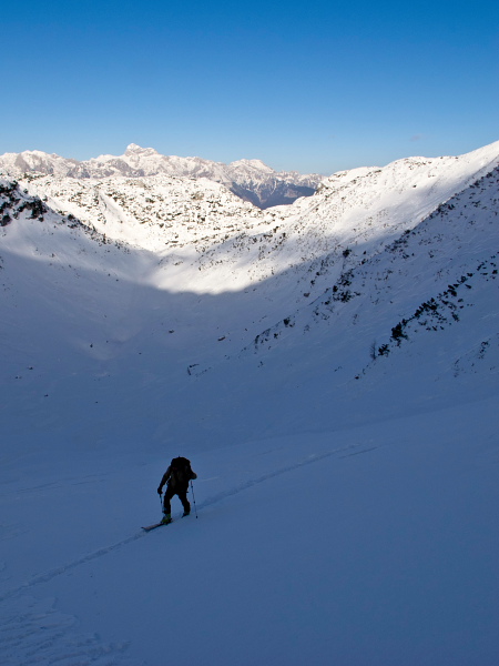
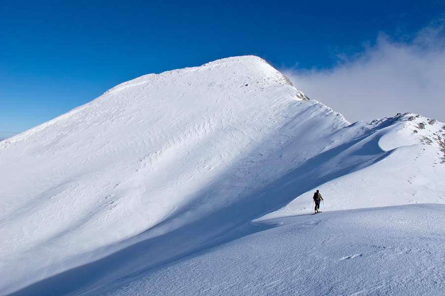
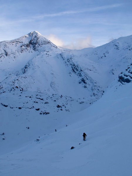
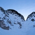
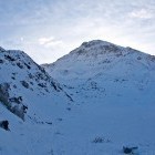
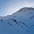
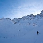
On the Suha meadow go towards the upper part of the meadow and when it turns slightly to the right, you head straight up (southwards) into a steep and narrow gully. The gully is short, but caution will not be redundant and complete winter gear is a must! Behind the gully a small flat basin opens underneath the wall of Mala Rodica. If you are headed to Rodica, keep right and take on a somewhat steeper slope. The path towards Raskovec turns left into the valley that takes you onto a saddle between the summits of Mala Rodica and Špik. On the saddle an amazing view opens and for the first time you lay eyes on your 'final destination', Veliki and Mali Raskovec. A descent on an orientation-wise more demanding terrain follows. At first go down for about 100 altitude meters to the left (north-east), and when the terrain offers the opportunity, turn sharply right and reach an enormous basin between Raskovec and Rodica. All together it sums up to 150 altitude meters of descent! The landscape is lonesome and wild.
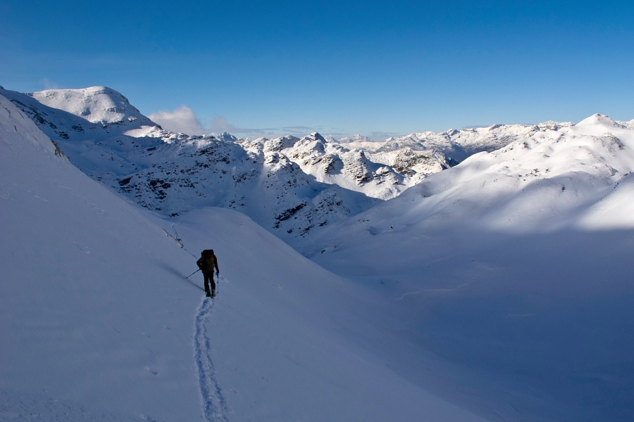
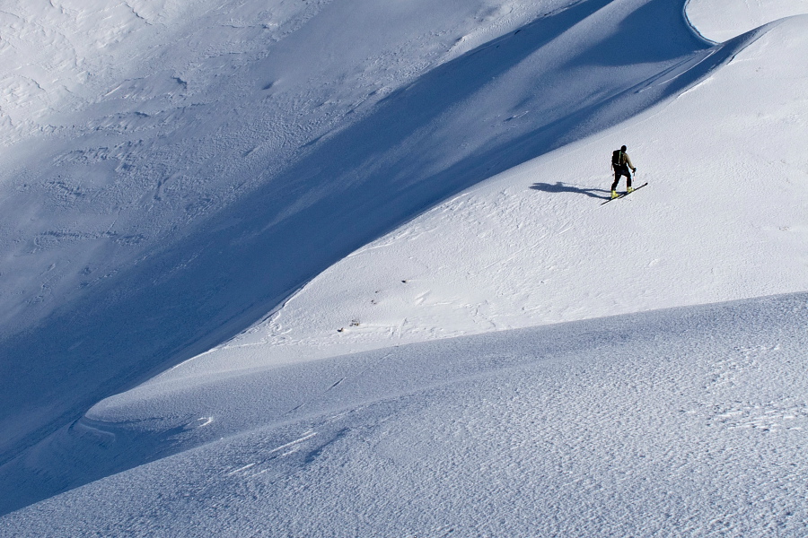
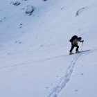
Once again put on the ski climbing skins and ascend across the steep slopes towards south-east. Terrain takes you directly onto the ridge of Lower Bohinj mountains. Veliki and Mali Raskovec are directly in front of you. Depending on the circumstances you can choose the west slope of Veliki Raskovec, south-east slope of Mali Raskovec or you can ski on both of them. North slopes of both Raskovec's are also appropriate for skiing (from the ridge between both summits towards Poljana meadow deep under them); in good conditions a descent in the direction of the described ascent is also beautiful! If you are physically fit and you don't mind the often 'changes of footwear', you will be delighted.
Highest point/summit:
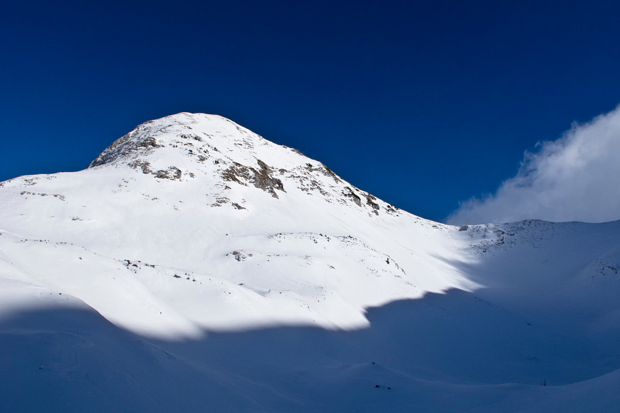
Veliki Raskovec: 1956 m
Mali Raskovec: 1945 m
Duration:
All below listed times concern backcountry-skiers. Those on foot will need a lot more.
Parking - Suha meadow: 1 h
Suha meadow - Veliki or Mali Raskovec: 3 h
Veliki or Mali Raskovec - Suha meadow: 1.45 h
Suha meadow - Parking: 20 min
Total: 6 h
Difficulty of ascent and skiing: : 3
In good conditions the tour is technically not too demanding but it is very exhausting. Gully above Suha meadow is steep and calls for caution. The terrain behind the saddle between Mala Rodica and Špik is orientation-wise more difficult, plus it has some steep parts too. Slopes above the 'big basin' and below the summits of both Raskovec's are endangered by avalanches.
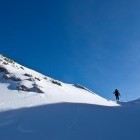
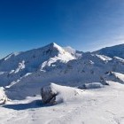
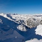
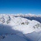
Gallery
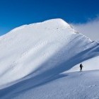
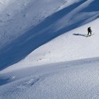
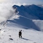
-
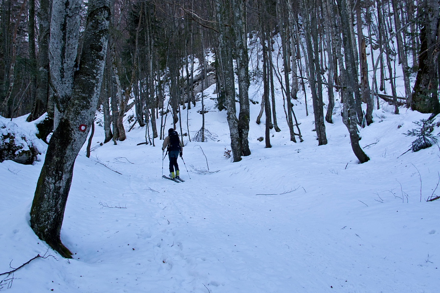
Towards Suha meadow -

Suha meadow below Rodica -
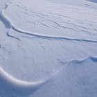
Steep gully on our way -
In the gully -
Basin below Mala Rodica -
Turn left below Mala Rodica -
Vogel ski resort is behind your back -
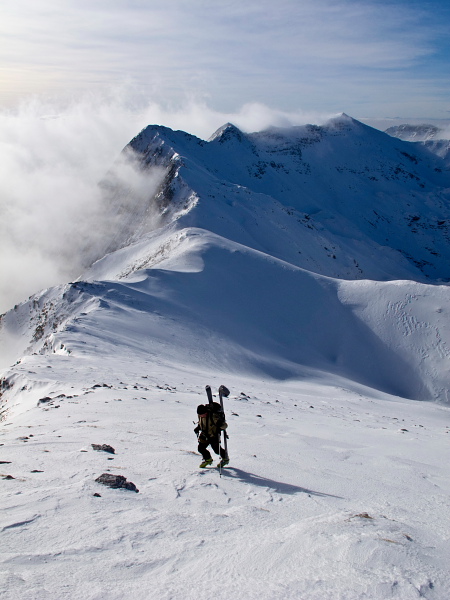
Towards the saddle between Mala Rodica and Špik -
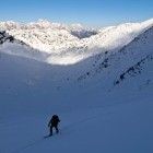
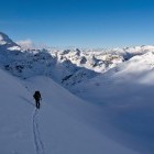
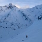
Ascending -
Saddle between Mala Rodica and Špik -
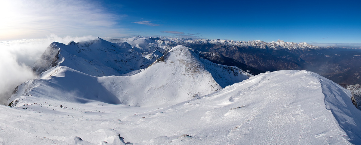
View towards Raskovec from the saddle -
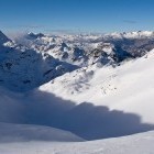
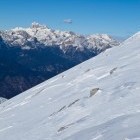
View towards Vogel -
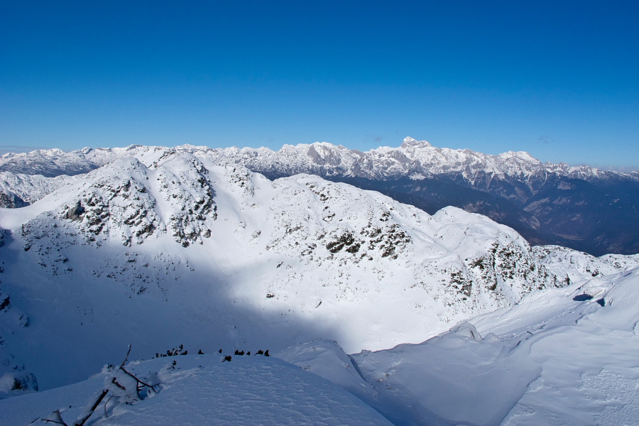
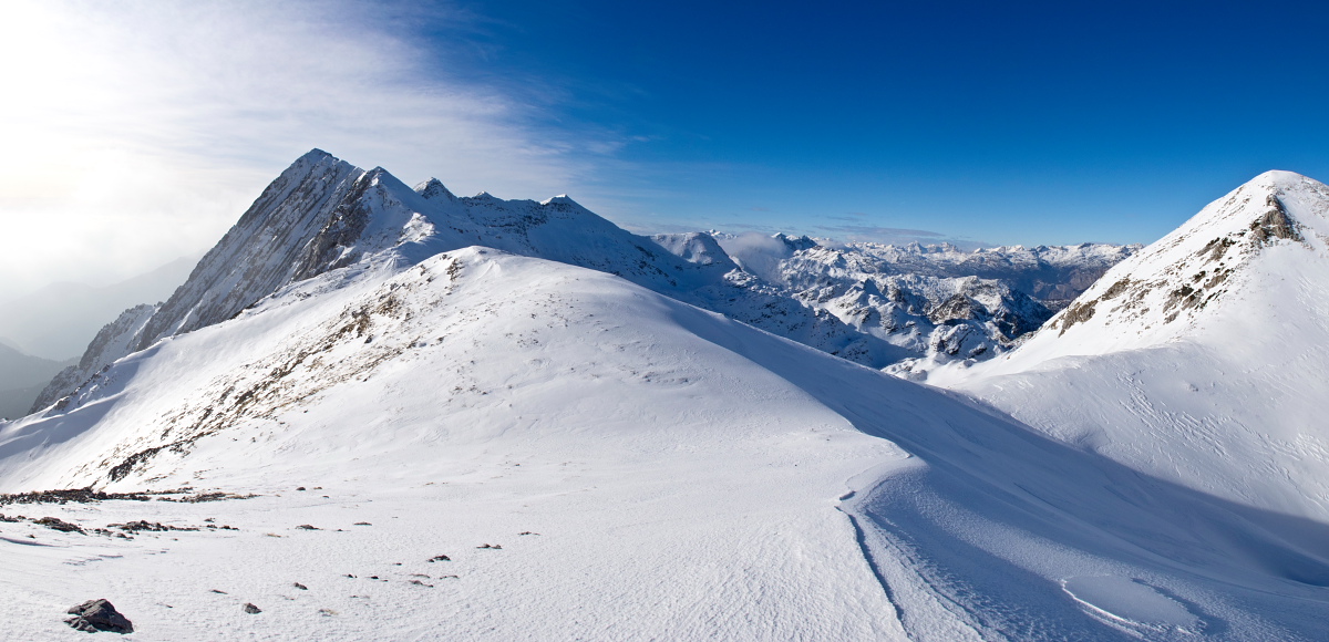
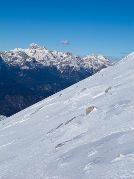
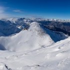
The view towards central Julian Alps -
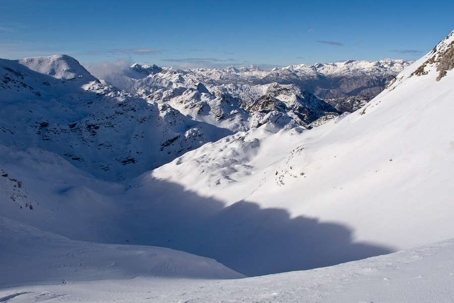
The "basin" below Veliki and Mali Raskovec -
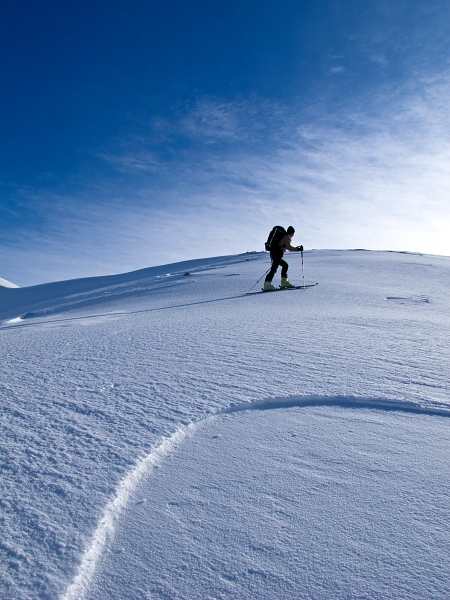
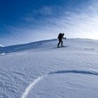
Ascending towards Raskovec -
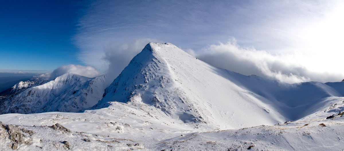
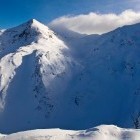
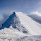
Mali Raskovec -
Ascending towards Raskovec -
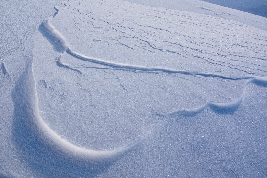
Detail -
Ascending towards Raskovec -
Ascending towards Raskovec -
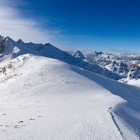
On the ridge of Lower Bohinj mountain chain -
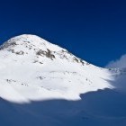
The summit of Veliki Raskovec -
Below the summit of Veliki Raskovec -
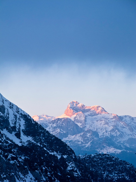
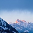
View towards Triglav -
Just below the summit of Veliki Raskovec -
View from Veliki Raskovec -
Veliki Raskovec -
On the way back to Suha meadow -
View towards Triglav