


Starting point:
In Bohinjska Bistrica go in the direction of Tolmin and Škofja Loka, until you spot a signpost for Ravne village which directs you to the right. Ascend up to ski slopes and cross them. When you drive into the forest again, you will notice 'Dom Dr. Mencingerja' hut on your left and park by the road.
Description:
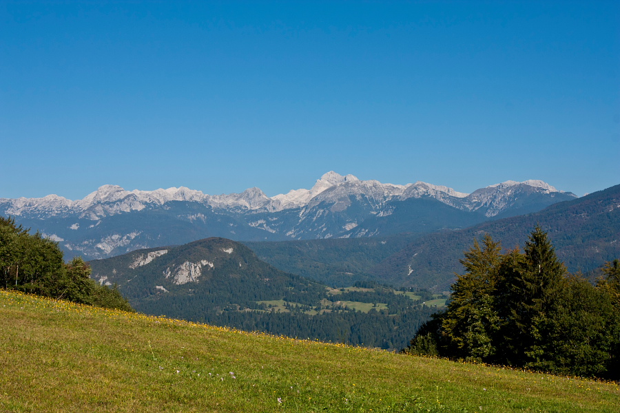
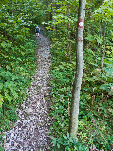
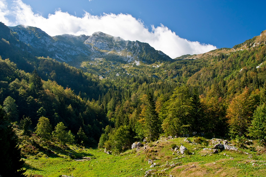
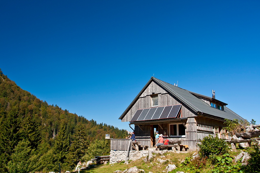
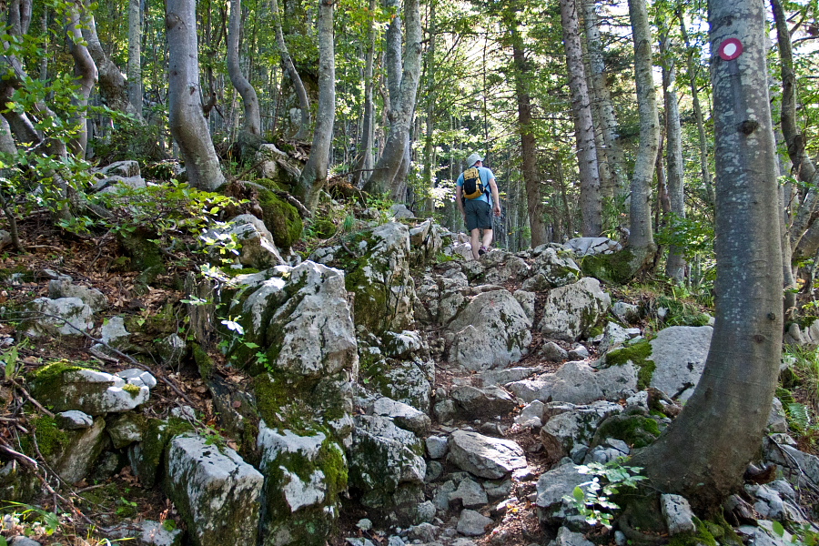
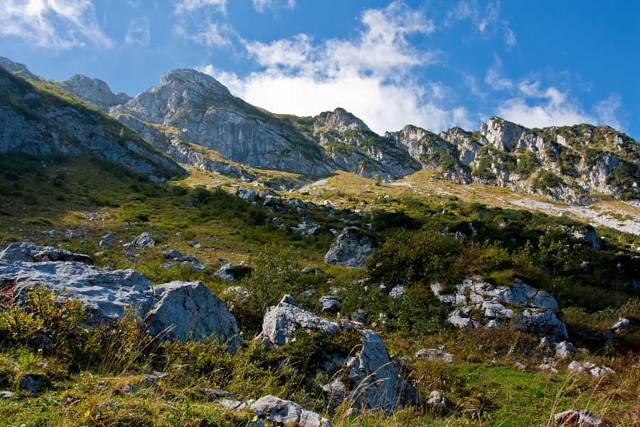
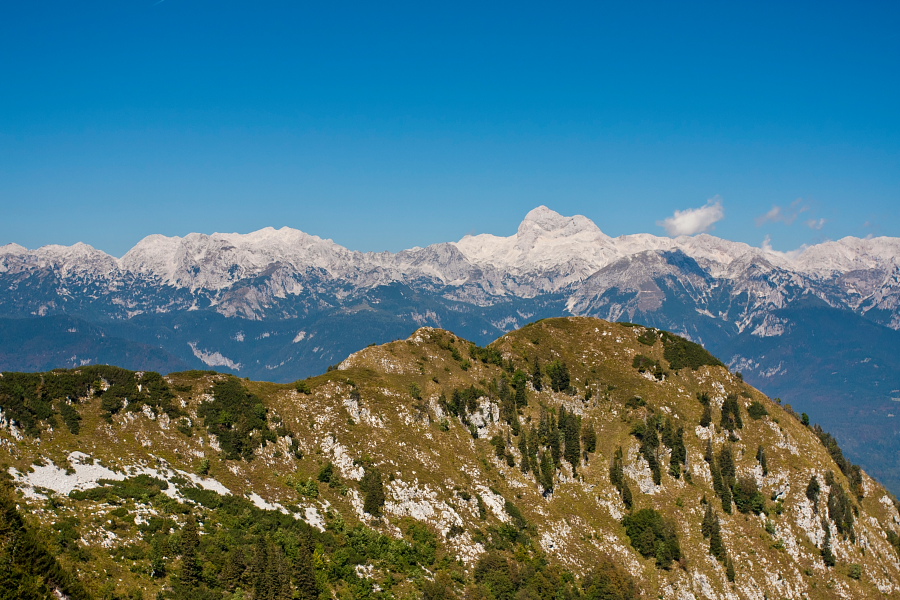
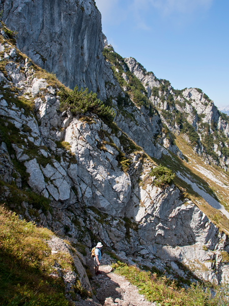
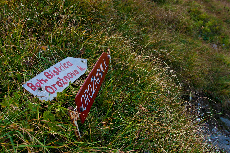
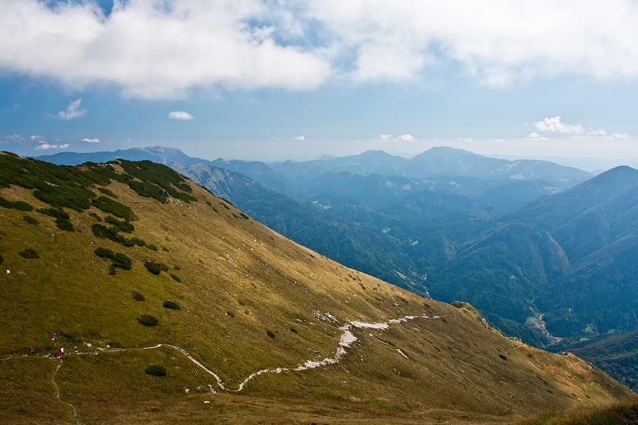
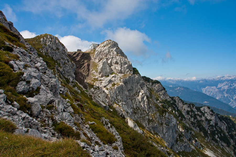
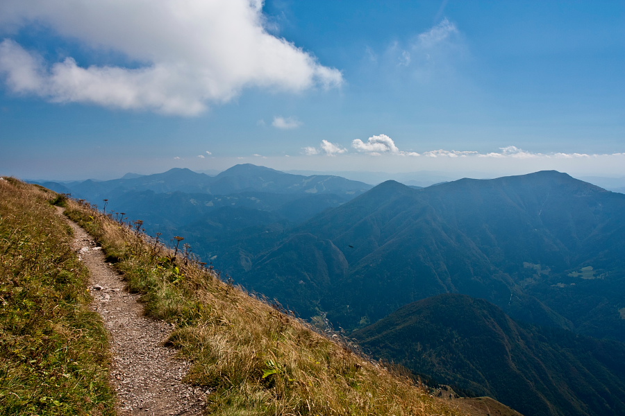
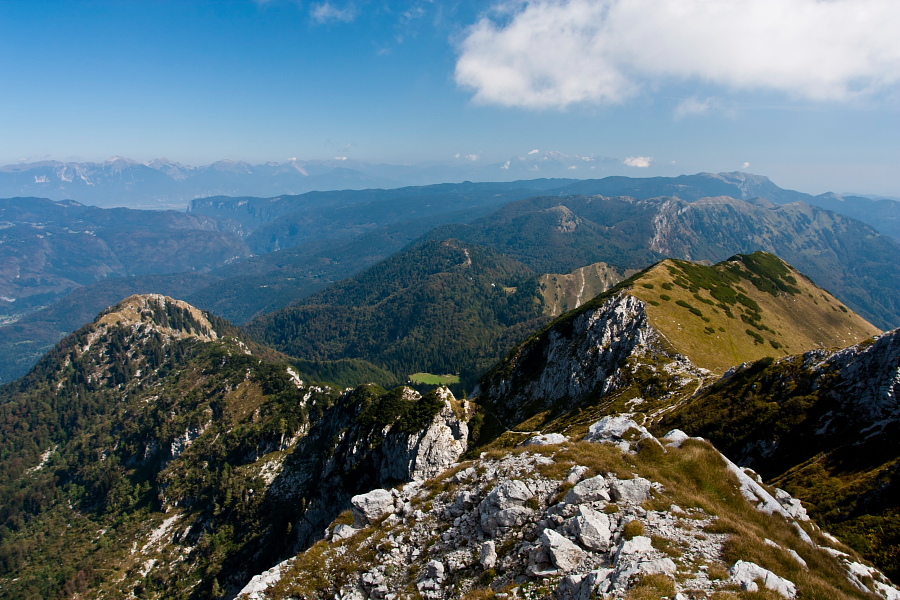
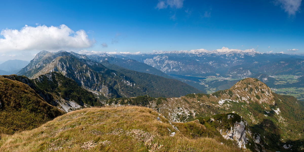
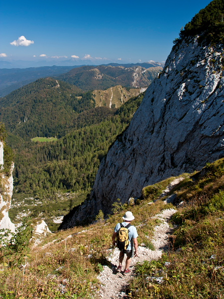
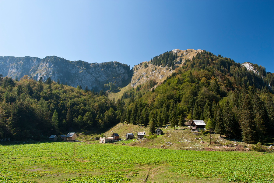
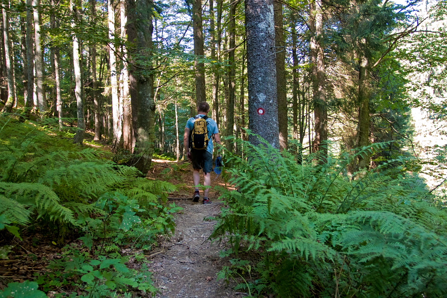
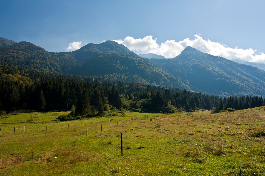
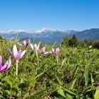
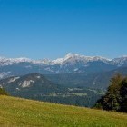
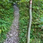
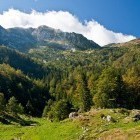
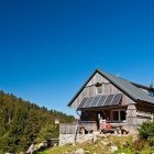
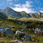
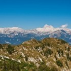
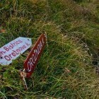
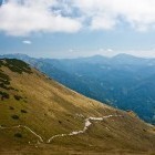
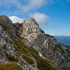
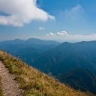
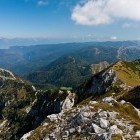
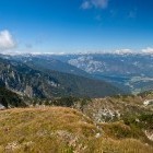
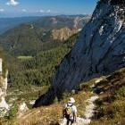
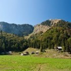
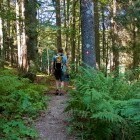
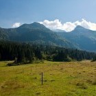
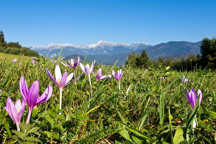
Go straight along the road from 'Dom Dr. Mencingerja' hut and soon you will see a signpost for 'Planina Za Liscem' alpine meadow. After a good half an hour of walking you reach another road, where you turn right and follow the road for around 500 m. Then a signpost directs you up into the forest again and before long you arrive to the lovely 'Orožnova Koča' hut at 'Za Liscem' alpine meadow. You can already see the summit of Črna Prst ahead of you. A path leads on the left side of a valley and slowly rises above the timberline. You start to rise up a bit more steeply on a gravel path and come to the ridge of the 'Southern Bohinj' mountain chain. The view is excellent. The subalpine hills on one side and the 'white' Julian Alps on the other. Turn right and follow the narrow path along the grassy ridge, which is full of flowers in early summer. Just below the summit there is 'Dom Zorka Jelinčiča' hut.
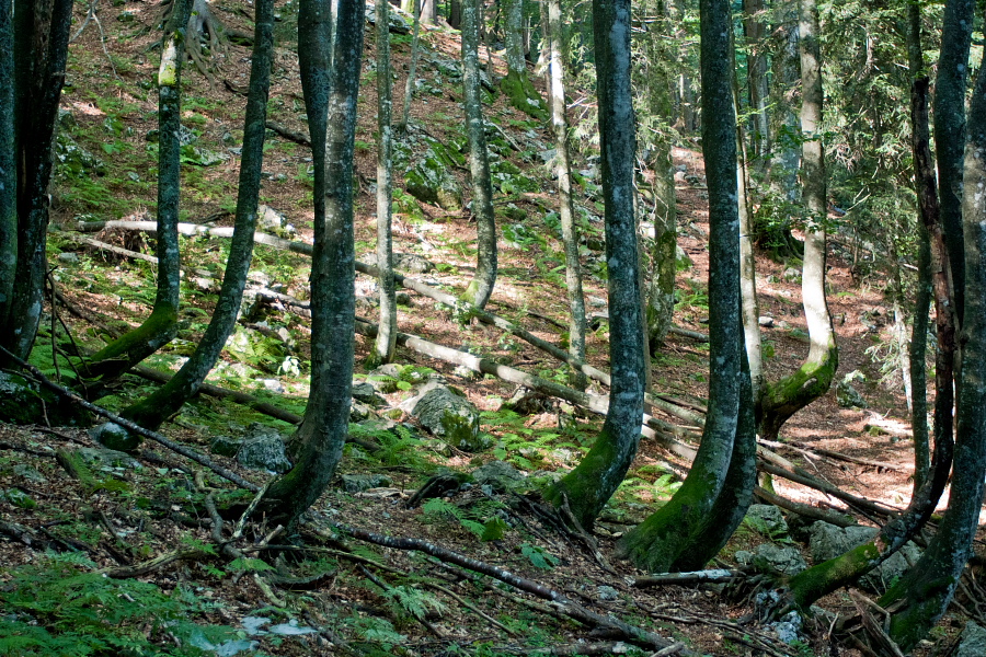
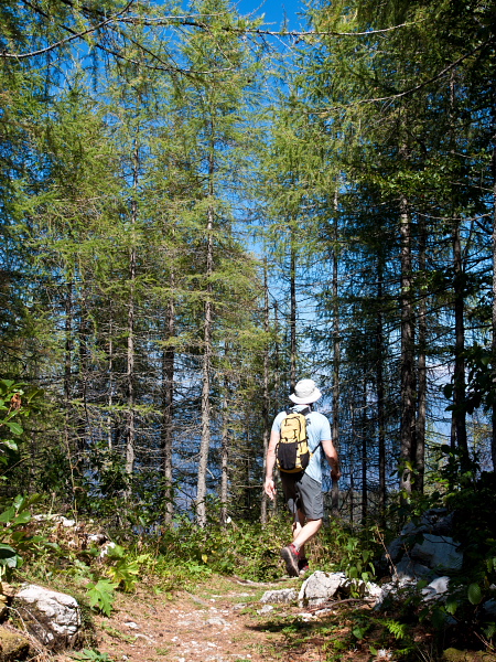
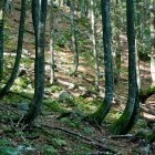
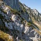
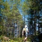
From the summit return to the saddle where you came to the ridge, turn to the north side and keep on the right path, which leads you to the neighboring valley towards 'Planina Za Črno Goro' meadow. At first you descend steeply, but then cross a scree-slope and carry on through a pretty larch forest to the round meadow, where some rebuild shepherd's cottages are situated. Circle around the meadow on the right side and continue your descent directly southwards. Follow the signposts for Bohinjska Bistrica throughout, cross a cart road and come directly to 'Dom Dr. Mencingerja' hut where you left your vehicle. If you wish to go all the way to Bohinjska Bistrica, you carry on from 'Dom Dr. Mencingerja' hut along the road. A signpost for Bohinjska Bistrica directs you to the left, follow a well marked path straight down and arrive to Bohinjska Bistrica in approximatly half an hour.
Highest point/summit:
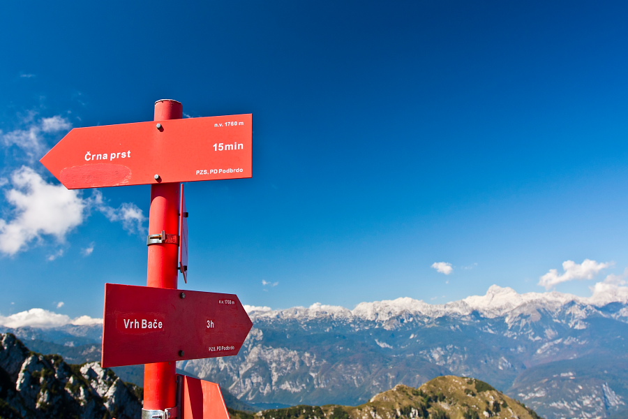
Črna prst: 1844 m
Duration:
'Dom dr. Mencingerja' hut - 'Planina za Liscem' meadow: 1.30 h
'Planina za Liscem' meadow - Črna prst: 1.15 h
Črna prst - 'Planina za Črno goro' meadow: 1.15 h
'Planina za Črno goro' meadow - 'Dom dr. Mencingerja' hut: 1.15 h
Total: 5.30 h
Difficulty:
2 - The whole route is technically easy. Some sections run across steep slopes, which will not be too funny for those who suffer from extreme vertigo. Caution is needed on wet ground.
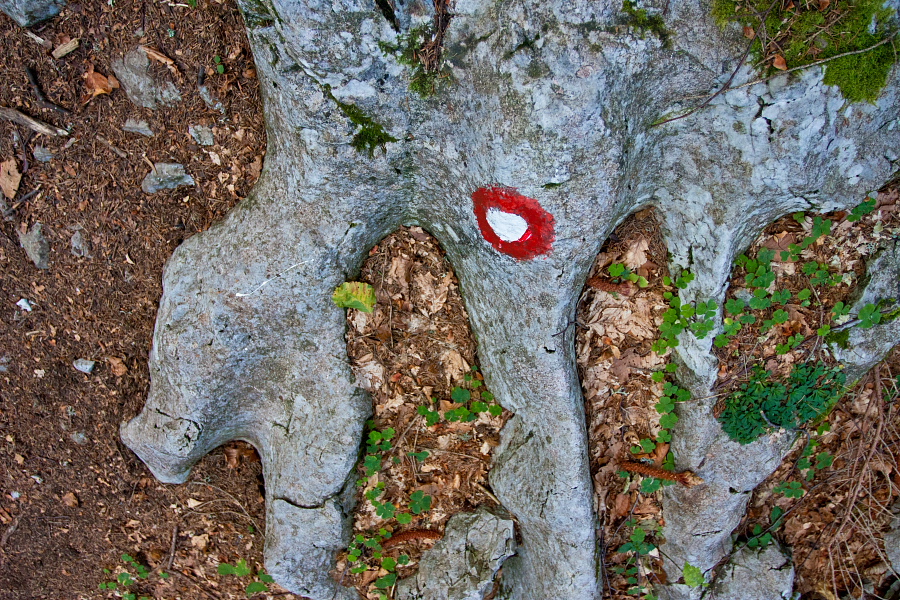
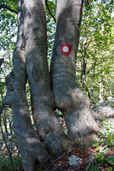
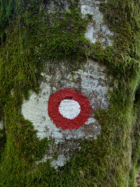
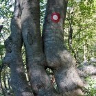
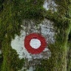
Type of path: Marked path
Gallery

-
Črna prst - At the beginning of the path -

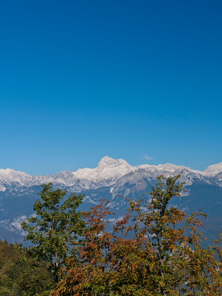
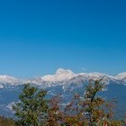
View towards Triglav -
Črna prst - On the way -
Črna prst - On the way -
Črna prst - On the way -
"Za Liscem" meadow below Črna prst -
"Za Liscem" meadow below Črna prst -
Orožnova hut on "Za Liscem" meadow -
Črna prst - Ascent -
Towards Črna prst -
Črna prst - View back -
Črna prst - Ascent -
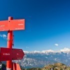
Črna prst - Signpost -
Črna prst - Reaching the ridge and view towards south -
Zorko Jelinčič hut and Črna prst -
Črna prst - Towards the summit -
Črna prst - View from the summit -
Črna prst - View from the summit -
Črna prst - Signpost -
Črna prst - Descent towards "Za Črno goro" meadow -
Črna prst - Descent -
Črna prst - On the way -
"Za Črno goro" meadow below Črna prst -
Črna prst - During descent -
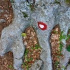
Črna prst - Detail -
Črna prst - Meadows above Bohinjska Bistrica