


Starting point:
From Ribčev Laz village at Lake Bohinj continue on the road on the left side of the lake and follow the signposts to Savica waterfall. Park on a parking lot next to Savica hut (around 650 m).
Description:
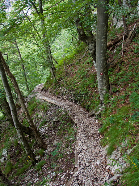
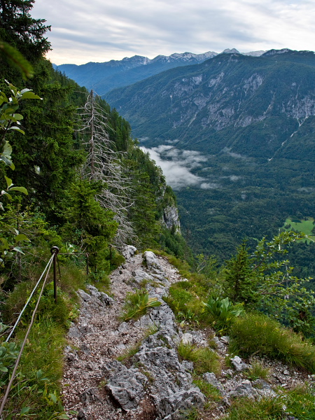
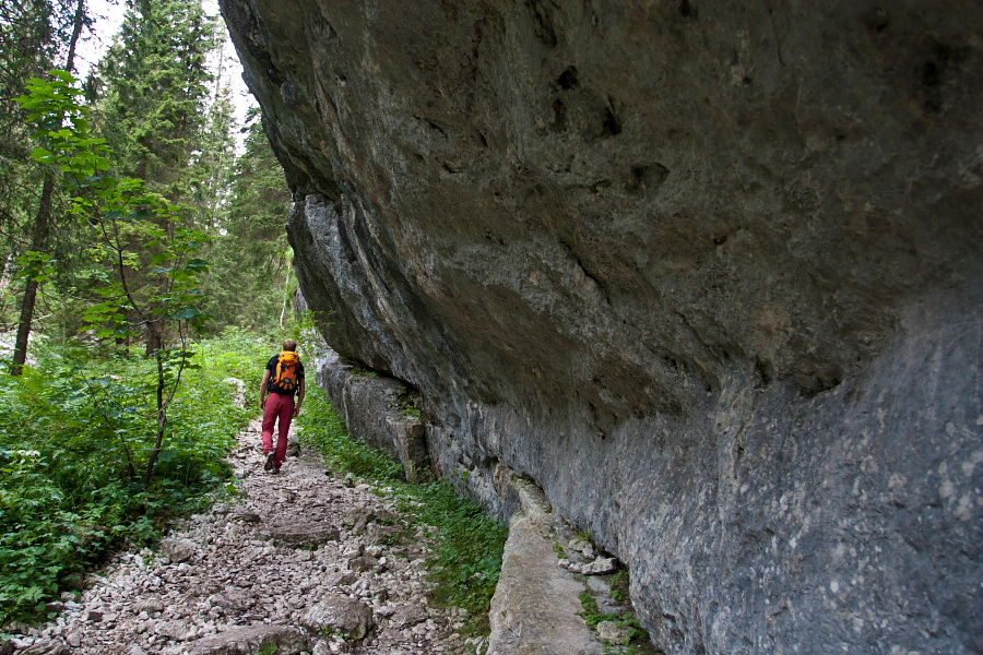
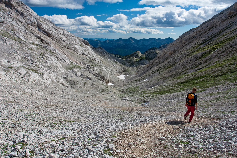
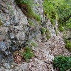
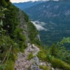
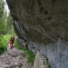
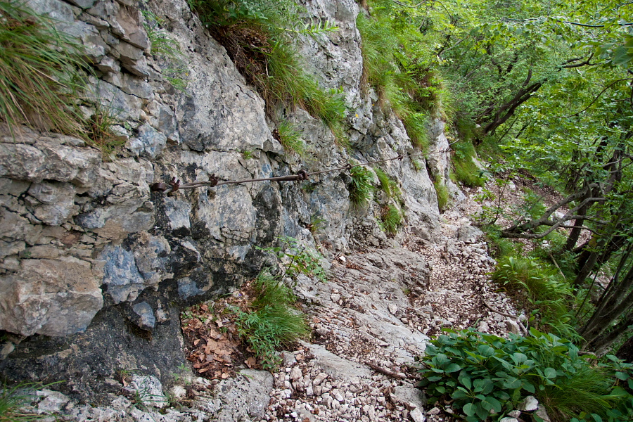
Red hiking signpost just by Savica hut directs you towards 'Črno Jezero' (= Black lake). Cross a bridge over Savica and follow the path to the right. Soon the markings direct you left and the ascent begins. At first it is easy but higher up the path narrows and the terrain gets steeper. The path is wide enough for normal walking throughout and is secured with steel cables at more exposed sections. Be careful not to slip or provoke stone-falling.
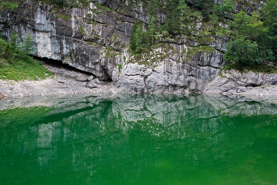
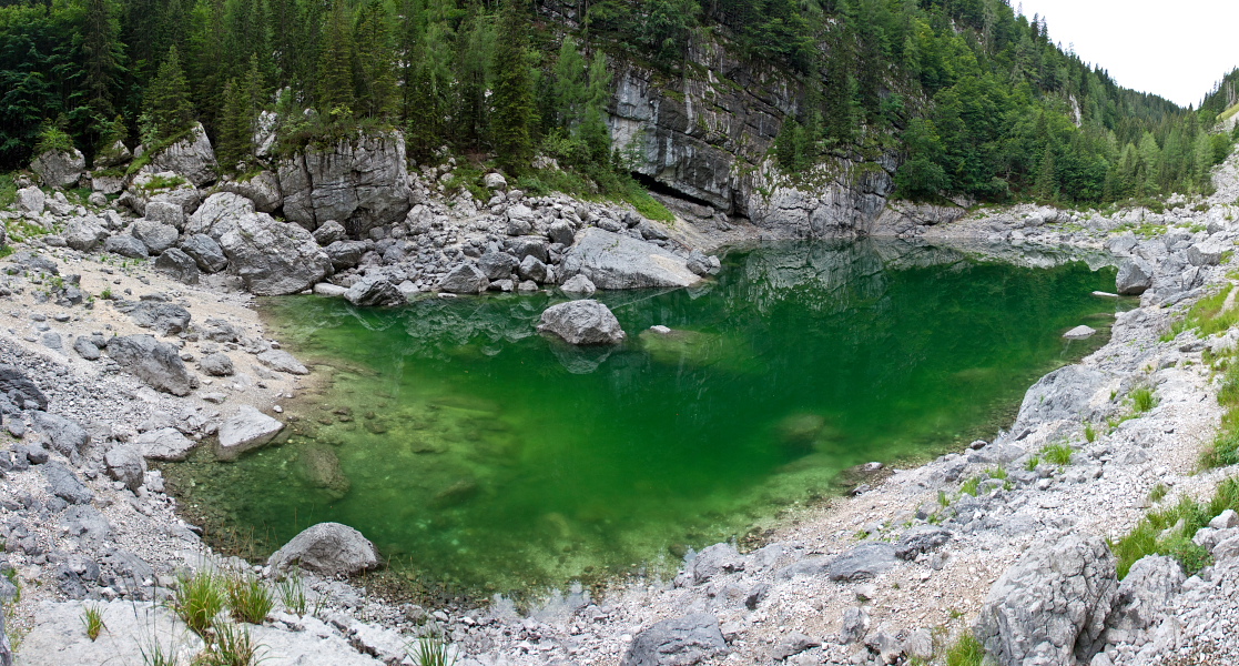
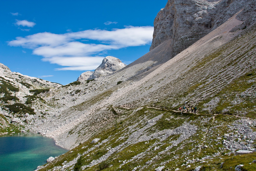
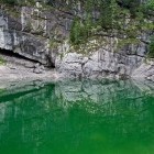
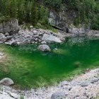
Technically most difficult part is going around a rock, which is secured with a steel cable and footholds. The upper section of the ascent across Komarča wall takes place on a very steep slope and is not suitable for hikers with vertigo. In a good hour and a half you reach the Black lake (the most southern one of 7 Triglav Lakes). Follow the hiking path on the right side. If you leave the marked path and walk by the shore, you will come to a marked path again at the other end of the lake. This path goes towards Komna, so you have to go back to a marked crossroad and go in the direction of the Triglav Lakes hut.
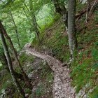
The path is easy and relatively flat from here on - there are only a few steeper sections.
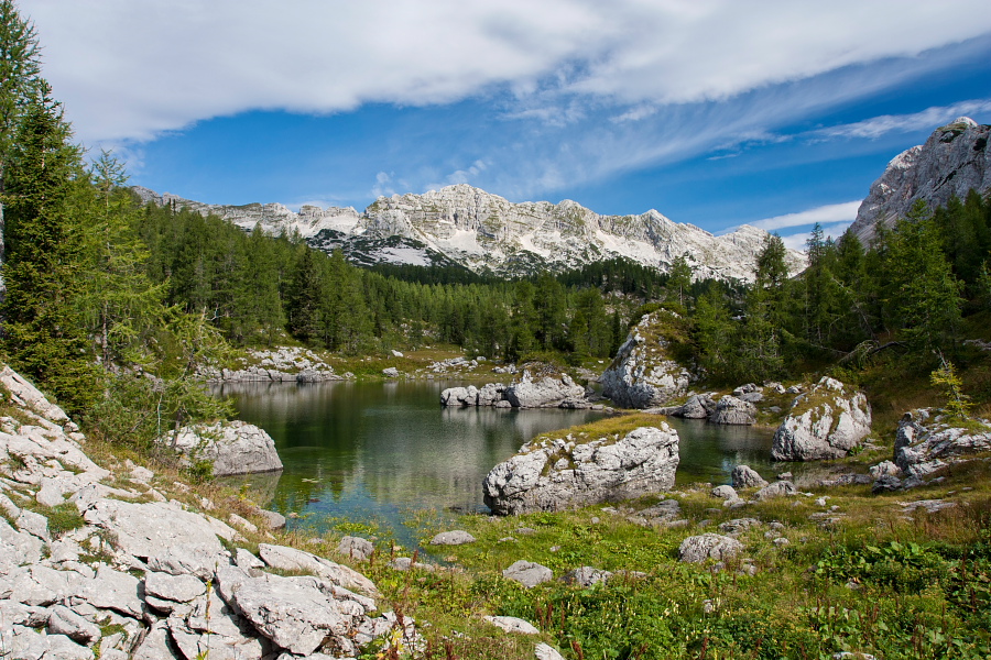
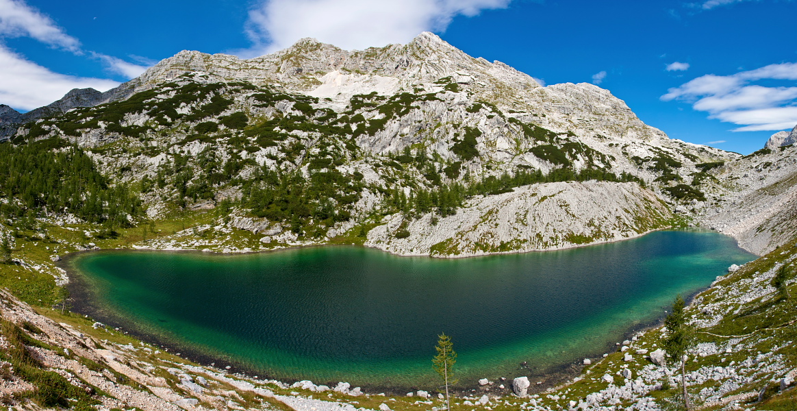
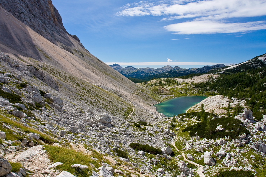
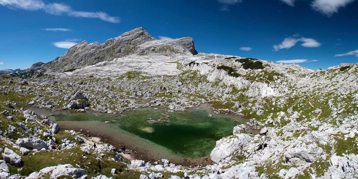
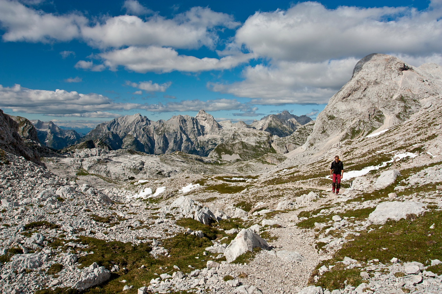
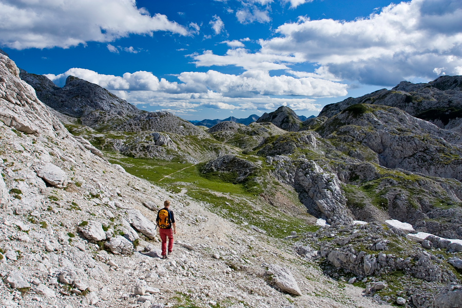
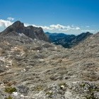
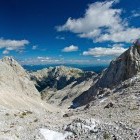
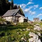
Once you come to 'Dvojno Jezero' (= Double Lake, next to which Triglav Lakes hut is situated) views to summits above the 7 Triglav Lakes valley will open. A gently ascending path will lead you through a beautiful larch forest and below huge scree-slopes to the biggest of the Triglav Lakes - 'Veliko Jezero' (= Big Lake or Kidney Lake due to its shape). At the next lake (Zeleno Jezero = Green Lake) turn right towards Hribarice and begin with a faster ascent. The views on the mountains on the other side of Trenta valley get more beautiful with every step.
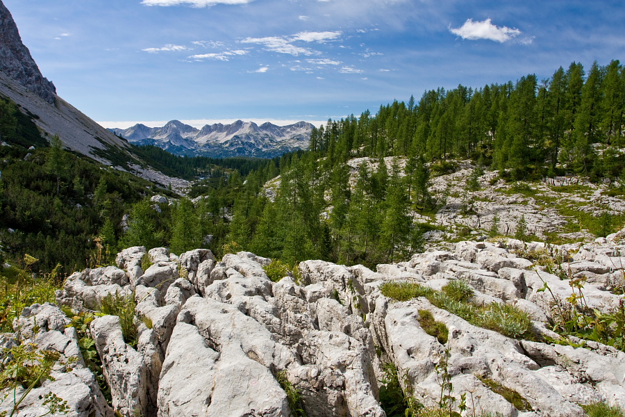
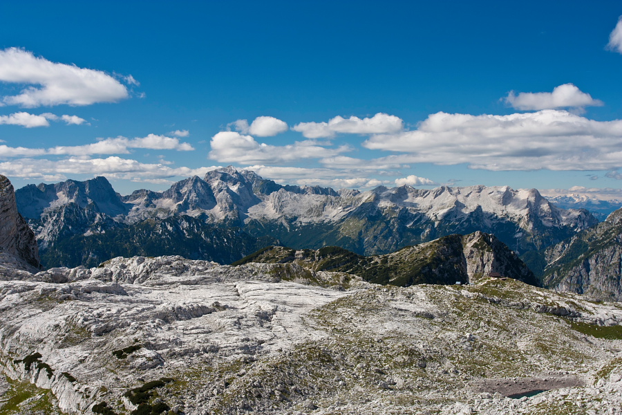
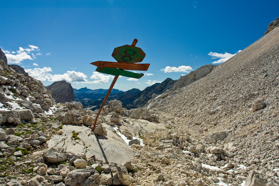
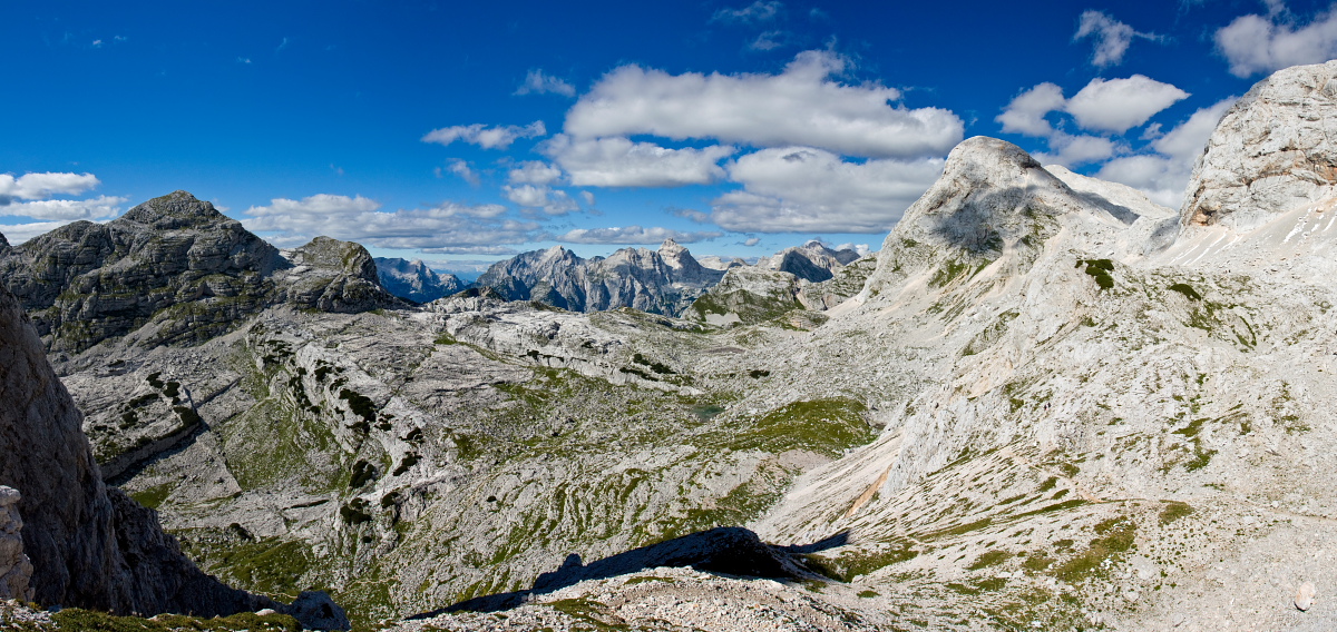
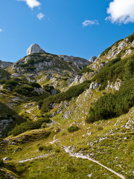
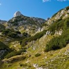
Go straight uphill at the next crossroad (it is worth remembering this spot since you will turn here towards 'Planina Blato' on the way back) and rise to the rocky 'flat-land' named Hribarice. Pay attention to the faded markings, which will direct you left towards Kanjavec summit, which reigns north from Hribarice (straight on you would come to 'Dolič' hut). From here on the path is not very clear, but the markings make the orientation easy. The view from Kanjavec summit is glorious when the weather is nice.
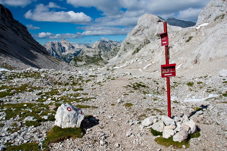
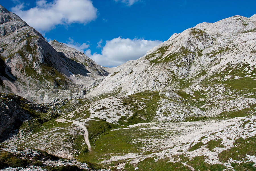
To make the tour circular go from the summit towards east along a ridge (NOT towards 'Dolič' hut). At the beginning the ridge is a bit narrow and you have to ascend across a short (but steep) rocky passage. The terrain gets simpler but more crumbly later. Follow the markings to 'Hribarice', where you turn back westwards in the direction of Triglav Lakes. Proceed to the above mentioned crossroad above the Green Lake where a signpost directs you towards 'Planina Blato' (planina = alpine meadow). Cross a slope in the direction of 'Velika Zelnarica'. Ascend to 'Vrata' saddle and start descending along a 'smaller sister' of Triglav Lakes valley - called 'Za Kopico' valley.
The easy path brings you to cute 'Dedno Polje' alpine meadow. At Dedno Polje keep right and walk on an initially marked path towards 'Planina Ovčarija'. Pay attention to a poorly visible unmarked footpath, which branches off sharply to the left and takes you to a hunting shack in a few steps. Turn right by the shack and follow a relatively well visible footpath until you merge with a marked path (right next to a signpost), which runs from 'Planina Viševnik' to 'Planina Ovčarija'. Turn left and come to a very charming alpine meadow - Planina Viševnik. Signposts guide you downwards to 'Črno Jezero' and descend across Komarča back to the starting point.
Join a guided hiking tour!
3-days: Best of Julian Alps Hut-to-Hut8-days: Discover the Slovenian Alps.
Prefer a self-guided tour?
Try our Mountains and Lakes Hut-to-Hut or the Triglav National Park Adventure
![]()
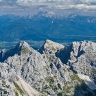
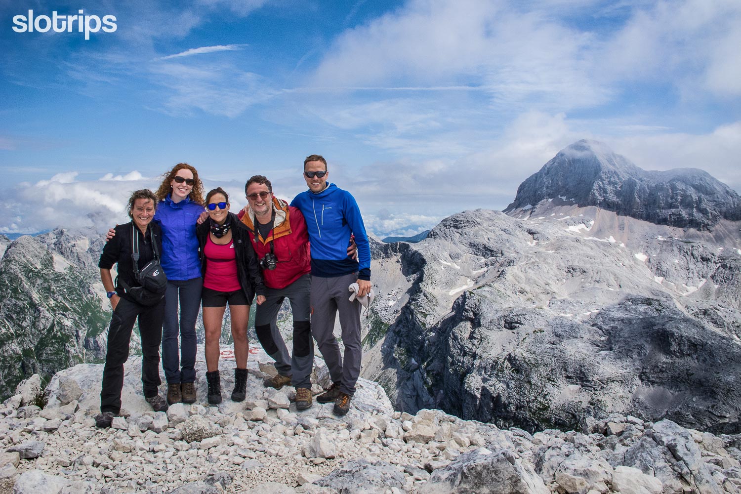 Hikers on the summit of Kanjavec during our Discover the Slovenian Alps hiking tour
Duration:
Savica hut - Triglav lakes hut (across Komarča): 3.15 h
Triglav lakes hut - Kanjavec (along the valley of 7 Triglav Lakes): 3.15 h
Kanjavec - 'Dedno Polje' alpine meadow (along 'Za Kopico' valley): 3.15 h
'Dedno Polje' alpine meadow - Savica hut (across Komarča): 2.30 h
Total: 12.30 h
Difficulty:
3 - The path across Komarča is difficult. It is partially exposed and secured with steel cables and stemples at some sections. It is not suitable for people with vertigo. There is also a risk of falling stones, so using a helmet will not be redundant. The slope is very steep and you do not wish to slip. Other parts of the route are technically easy, only the initial part of the described descent from Kanjavec summit to Hribarice calls for a bit more caution.
Type of path:
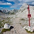
Marked path - The whole route is nicely marked with hiking signposts, only one section between 'Dedno Polje' alpine meadow and 'Viševnik' alpine meadow runs on an unmarked path.
Gallery
-
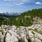
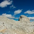
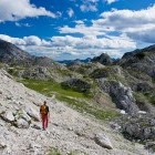
Ascent across Komarča wall -

Ascent across Komarča wall -
On the top of Komarča wall -
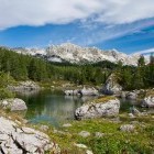
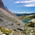
Black lake -
Black lake -
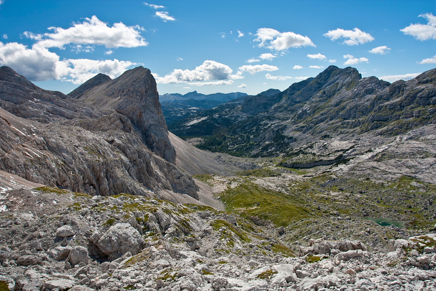
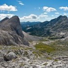
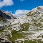
On the way to the valley of 7 Triglav lakes -
Valley of 7 Triglav lakes - Double lake -
In the valley of 7 Triglav lakes -
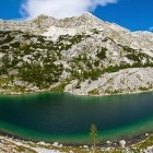
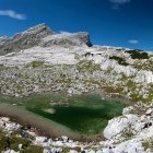
Valley of 7 Triglav lakes - "Kidney" lake -
Valley of 7 Triglav lakes - "Kidney" lake -
Valley of 7 Triglav lakes - "Kidney" lake -
Valley of 7 Triglav lakes - Green lake -
On the top of the valley of 7 Triglav lakes -
Valley of 7 Triglav lakes -
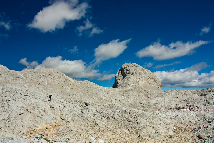
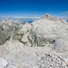
Just below the summit of Kanjavec -
Just below the summit of Kanjavec -
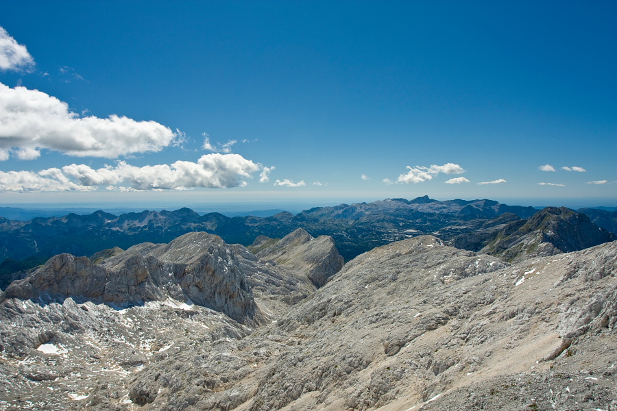
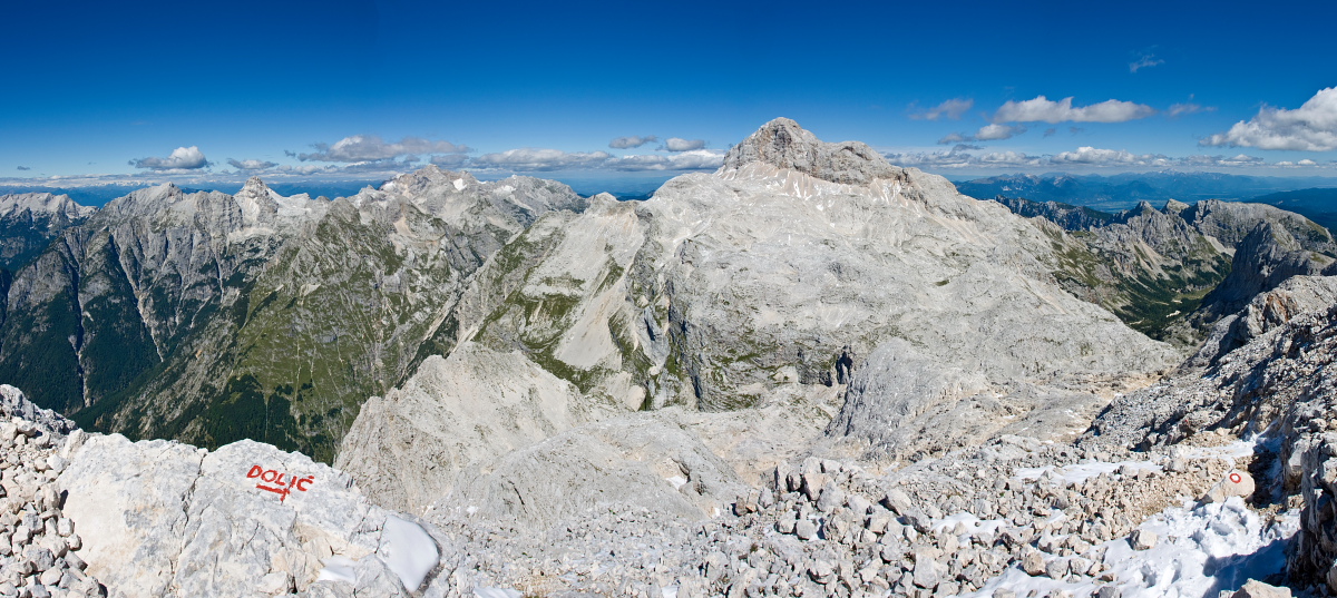
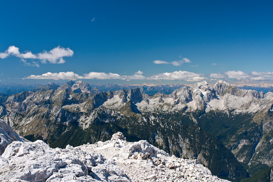
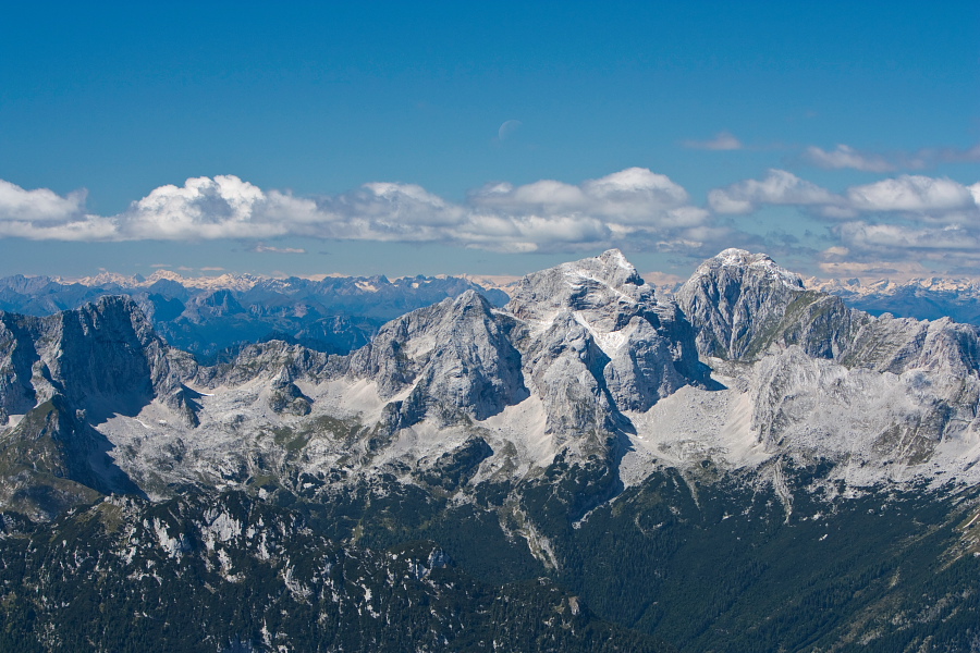
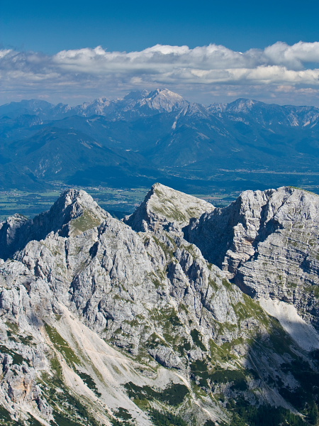
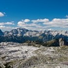
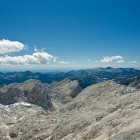
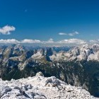
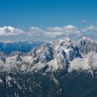
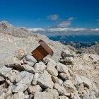
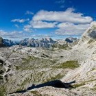
View from the summit of Kanjavec -
View from the summit of Kanjavec -
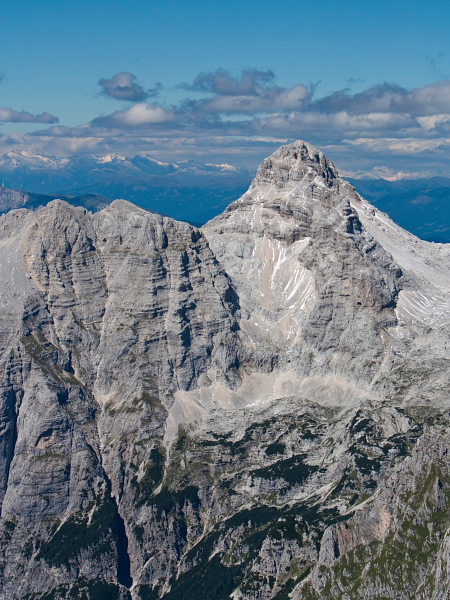
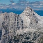
Mt. Razor -
Jalovec & Mangart -
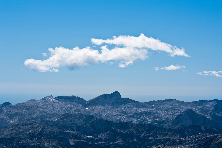
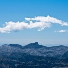
Mt. Krn is faaaaaar away -
View from the summit of Kanjavec -
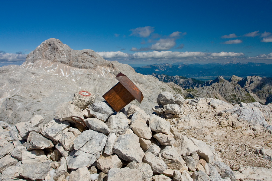
On the summit of Kanjavec -
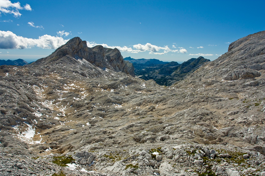
Descent towards Hribarice plateau -
A "peak" into Velska valley during the descent -
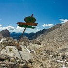
"Winter markings" on Hribarice -
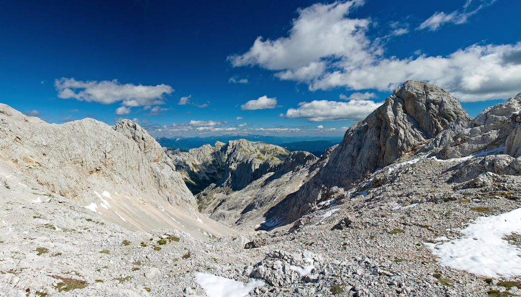
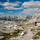
Towards the "Za Kopico" valley -
Towards the "Za Kopico" valley -
Vrata saddle - the top of "Za Kopico" valley -
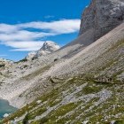
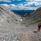
"Za Kopico" valley -
"Za Kopico" valley -
"Za Kopico" valley -
"Za Kopico" valley -
Viševnik alpine meadow