


Starting point:
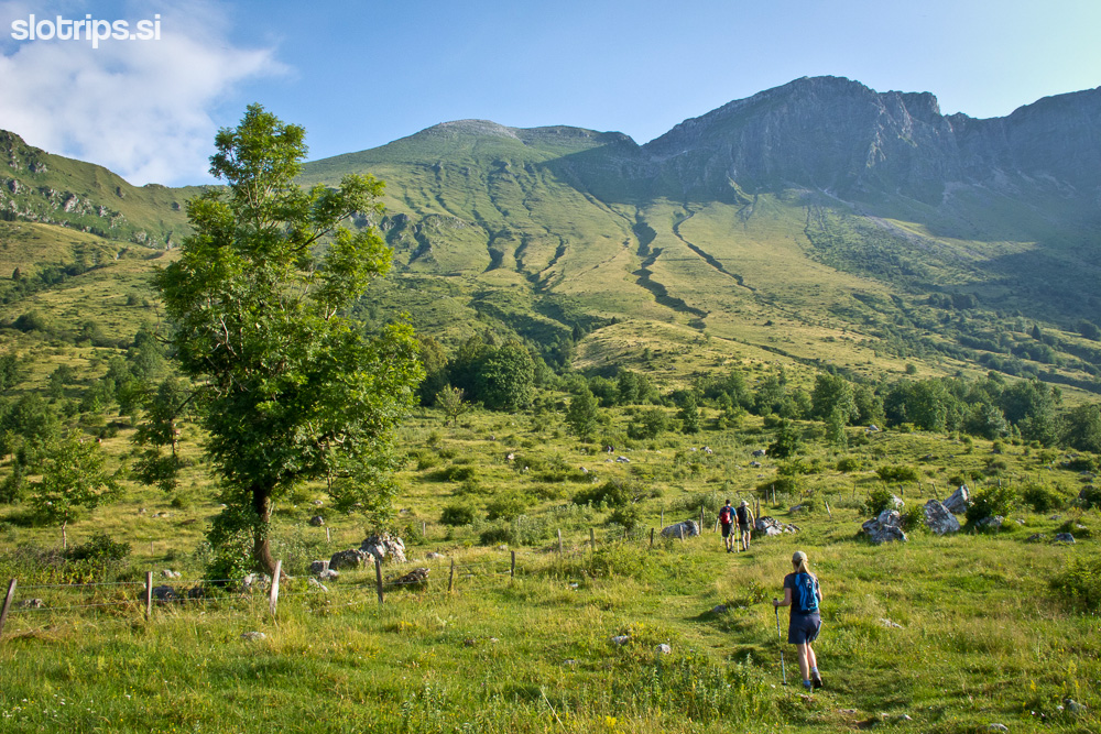
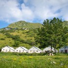
From the centre of Kobarid follow the signposts for Drežnica. Descend towards the Napoleon bridge across the river Soča, turn right after the bridge and drive along a low traffic road on the left bank of the river. In the village Ladra keep left and follow the signposts for the village Krn. A narrow asphalt road rises steeply towards the village, where you continue onwards to 'Koča na planini Kuhinja' (follow signposts). You can park right next to the hut (koča) on Kuhinja meadow (planina).
Description:
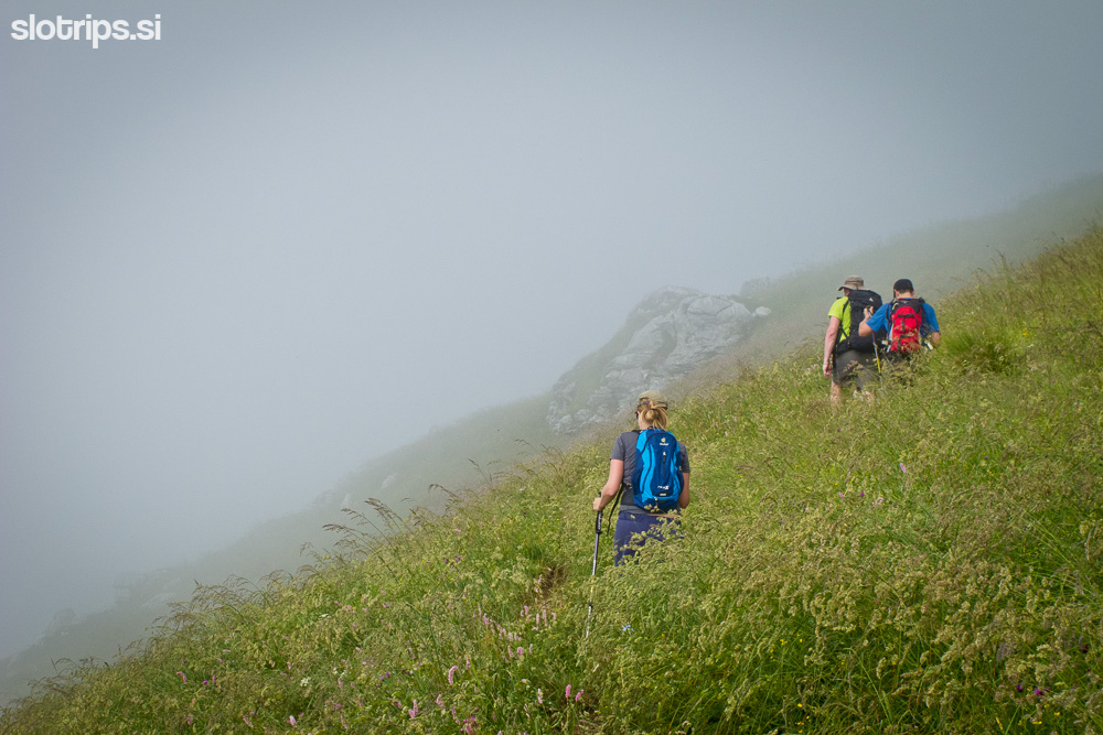
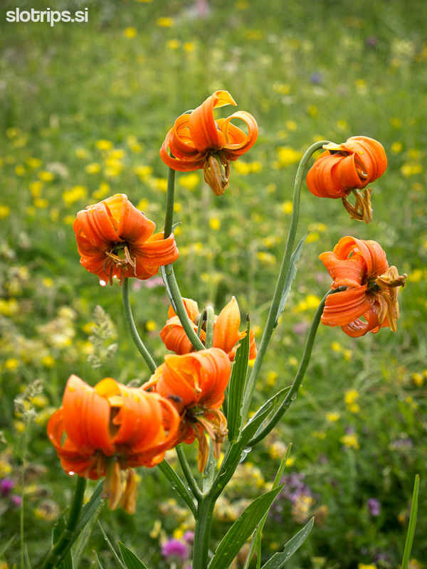
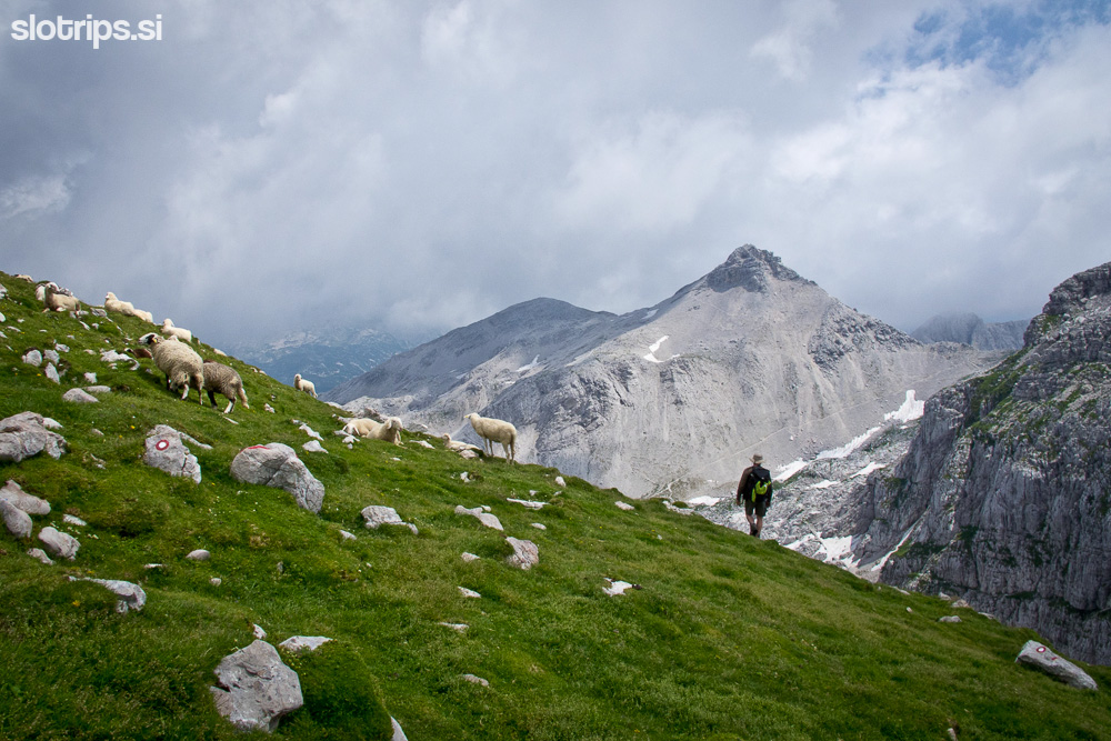
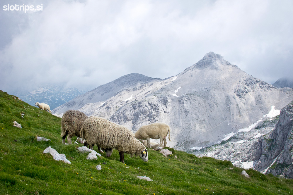
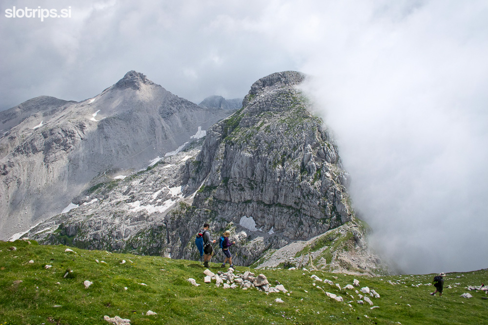
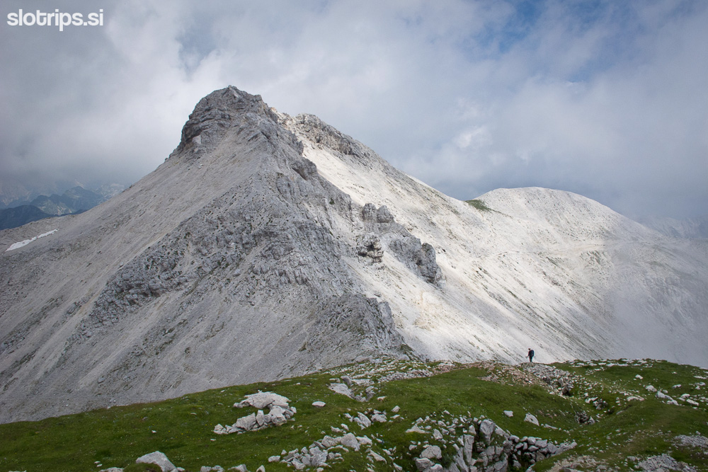
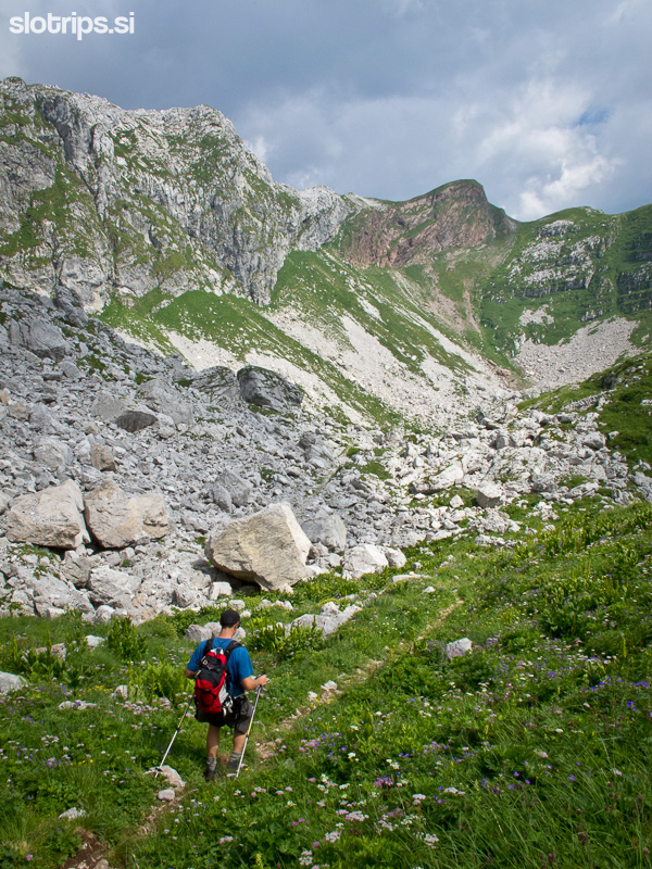
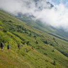
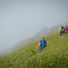
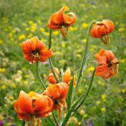
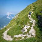
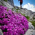
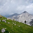
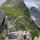
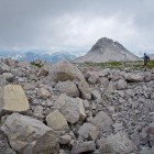
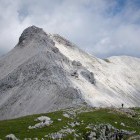
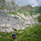
Beside the hut there’s a signpost pointing to Krn along a mountain path towards north. The path twists along the grassy southern slope, which is in full bloom in early summer. This is an old military road, which winds up gently along the western ridge of the pyramidal peak of Krn. There are some crossroads on the path and you always follow the signposts for Krn.
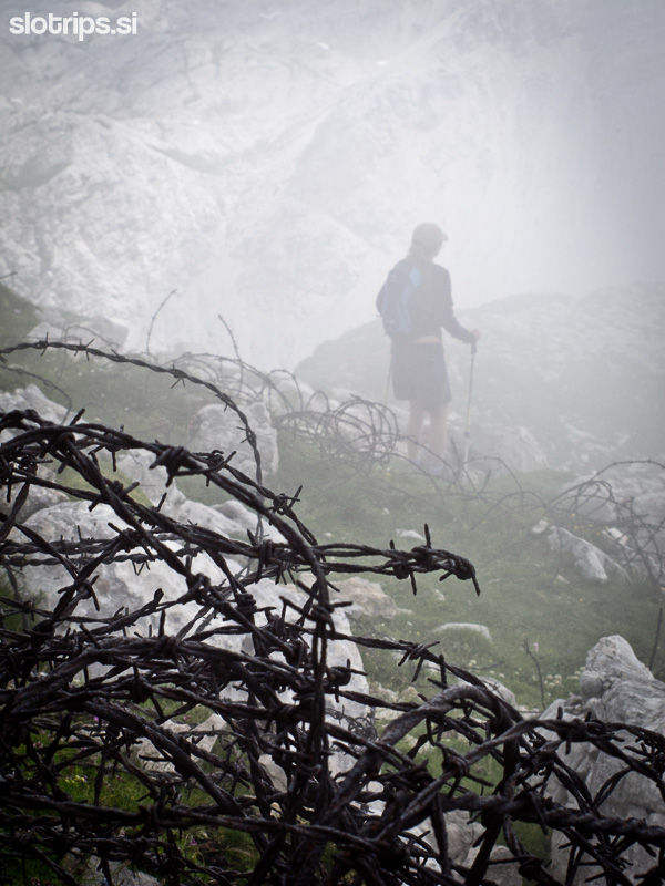
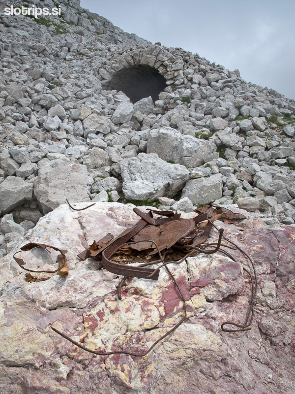
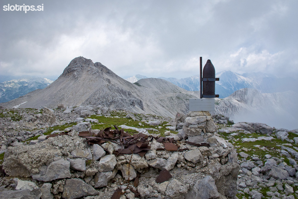
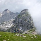
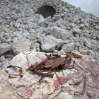
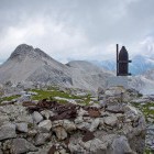
Right below the top you reach 'Gomiščkovo zavetišče' hut, where they serve drinks and basic food. The top is just a few steps away. From the top, descend eastwards towards the saddle between Krn and Batognica (Krnska škrbina). Here you come across ironware left behind from the Isonzo front, which reminds us of the dark past of these mountains.
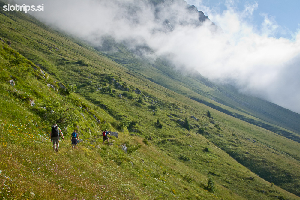
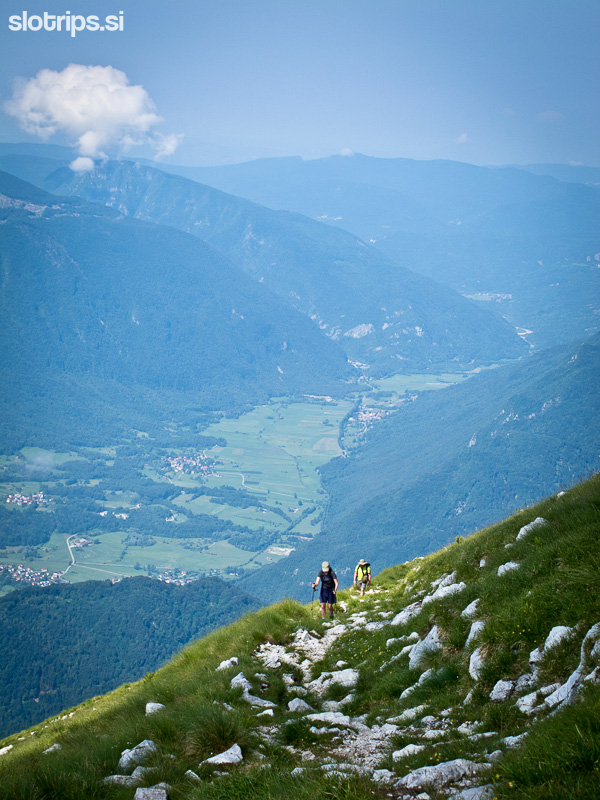
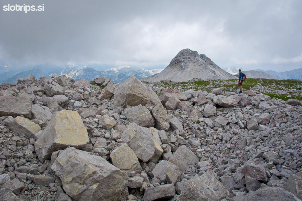
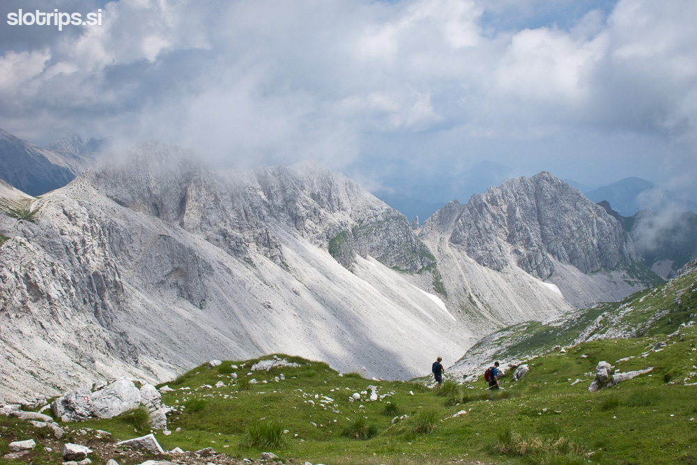
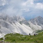
From 'Krnska škrbina' saddle you can descend again towards Kuhinja meadow, but the detour across Batognica and past Lužnica Lake is really worth the extra two hours of hiking. Proceed up to Batognica; the interesting path leads past the remains of bunkers and underground tunnels, where the Italian and Austro-Hungarian lines where the closest together. Several underground explosions took place here and they lowered the summit of Batognica for a few meters. In some parts, you can find information boards describing the events during WW1.
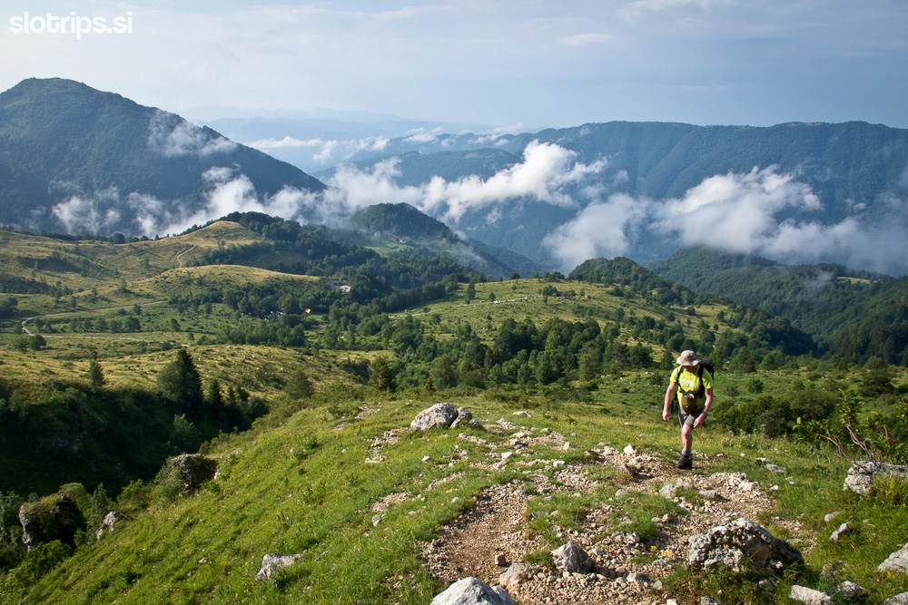
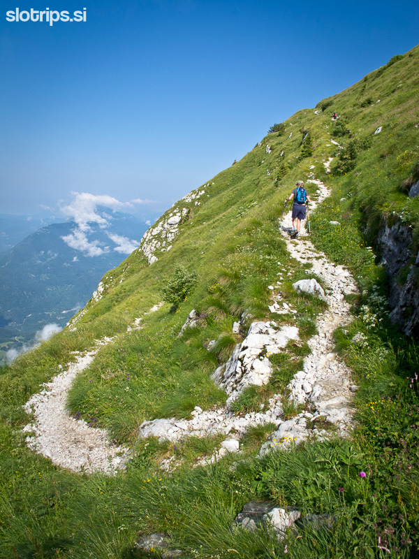
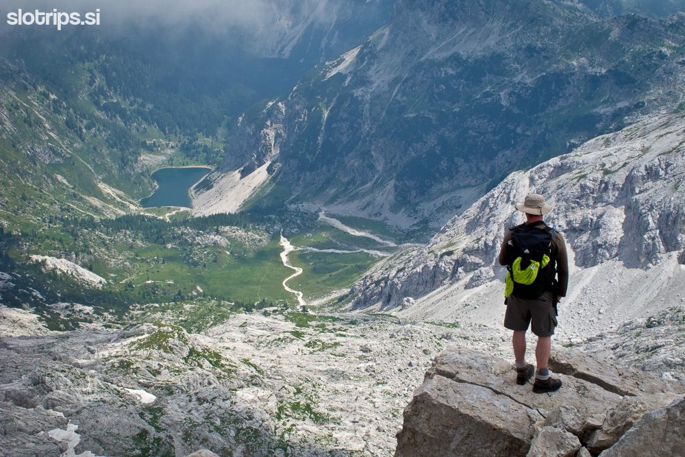
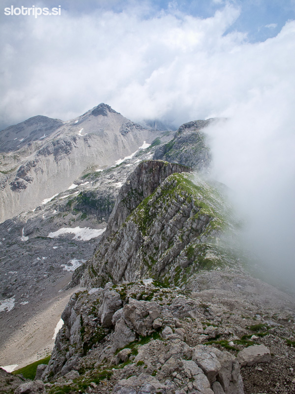
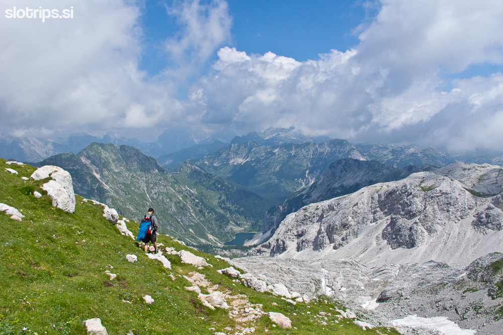
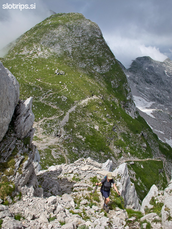
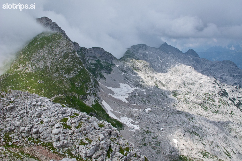
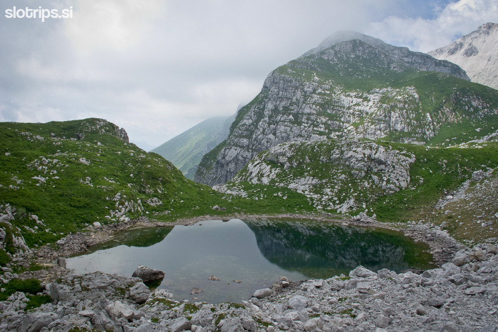
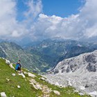
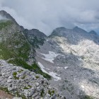
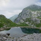
From the ‘plateau-like’ summit of Batognica, you descend eastwards in the direction of Vrh nad Peski. From the saddle under Vrh nad Peski continue towards a beautiful valley to the south-east, which takes you to the lovely Lužnica Lake. After a short ascent the path turns right and descends in a sharper tone towards the grassy slopes of the Krn meadows.
When the path becomes more gradual, you reach the next crossroad: Sleme meadow is on the left but you keep right and descend to Leskovca meadow. There’s a wide cart track which you follow up to the next crossroad at Kašna meadow. Turn left (continue descending) and past the Kuhinja meadow you come back to the starting point near the hut.
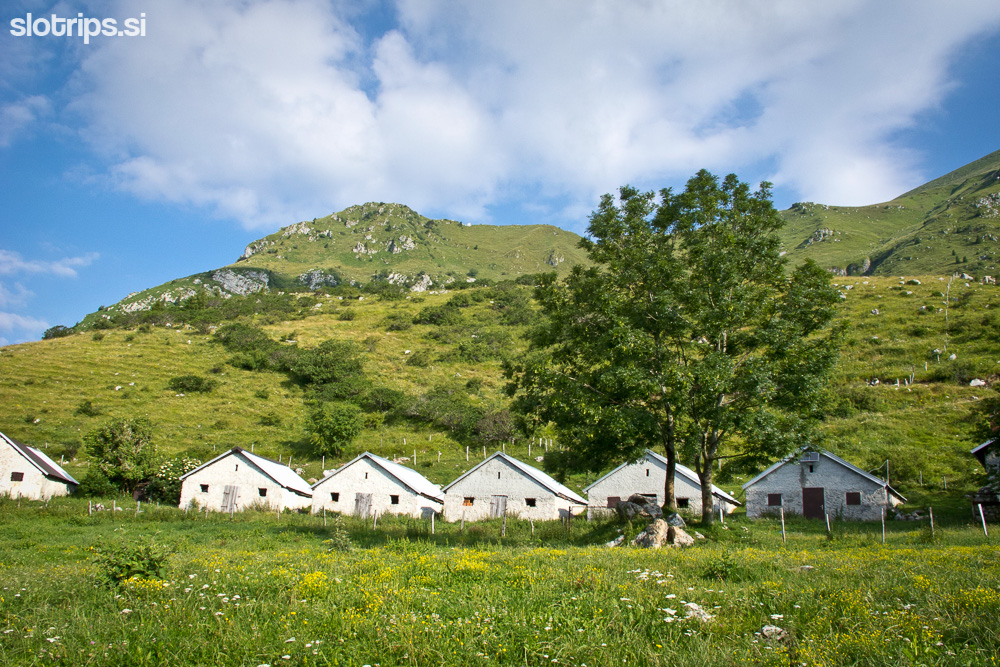
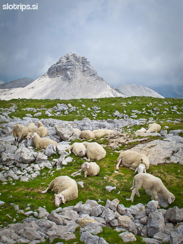
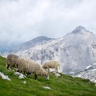
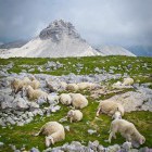
During summer you can buy delicious dairy products on all mountain meadows.
Go for multi-day self-guided hiking in the region!
4-days hiking tour Alpe-Adria Trail Adventure.Start on any day!
Prefer a private guided tour?
Try our Best of Alpe-Adria Trail Tour![]()
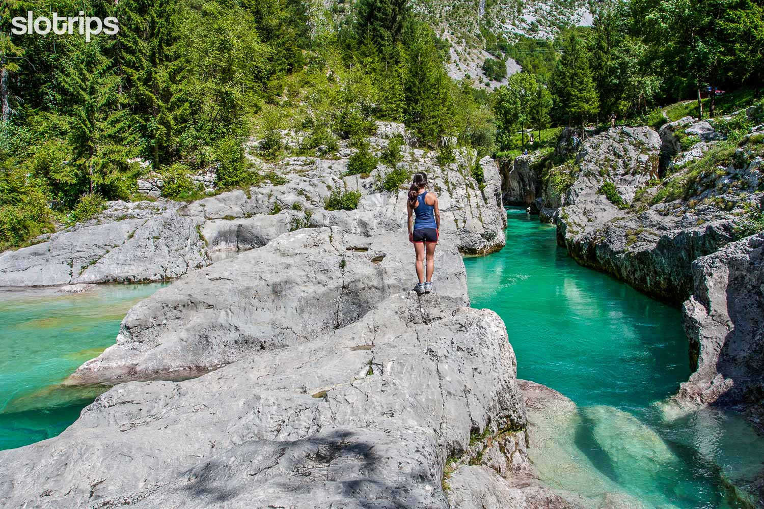 Visit the Great Soca Gorge on a self-guided tour with Slotrips
Highest point/summit:
Krn: 2244 m
Batognica: 2165 m
Duration:
Kuhinja meadow - Krn: 3 h
Krn - Batognica: 40 min
Batognica - Kuhinja meadow: 2.45 h
Total: 6.30 h
Difficulty:
2 - The whole path is technically easy. It can be quite unpleasant in fog!
Type of path: Marked
Gallery
-
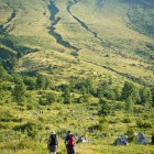
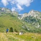
Start of the path at Planina Kuhinja -

Start of the path at Planina Kuhinja -
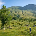
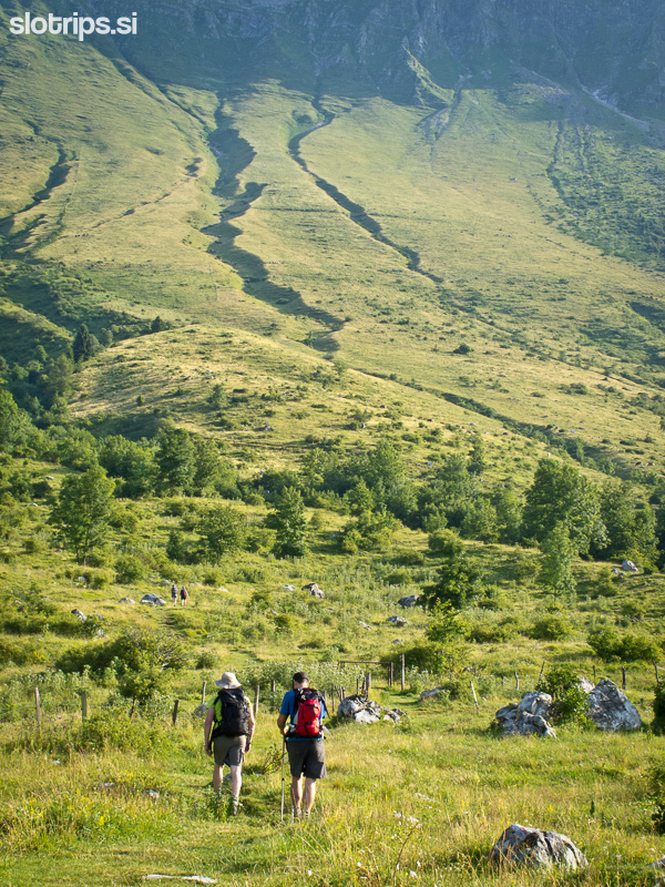
Grassy terrain above Planina Kuhinja -
Grassy terrain above Planina Kuhinja -
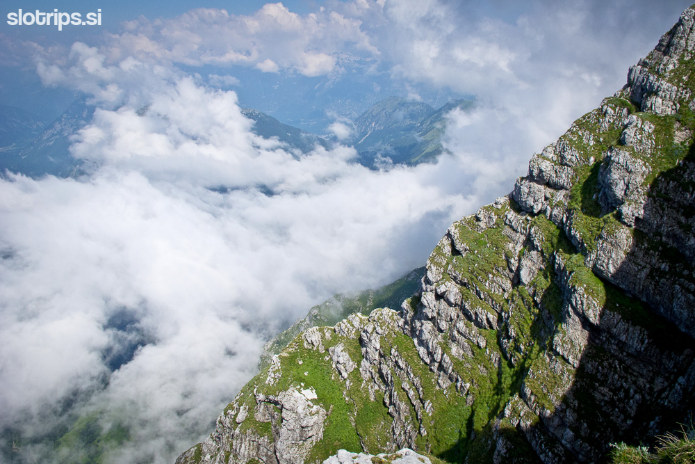
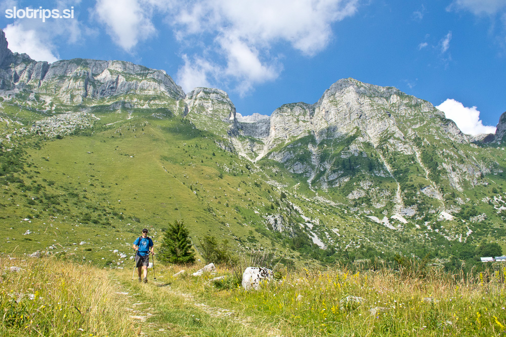
Mt. Krn from the south side -
Mt. Krn from the south side -
Mt. Krn from the south side -
Mt. Krn from the south side -
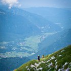
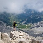
Mt. Krn from the south side, view towards Kobarid -
Just below the summit of Mt. Krn -
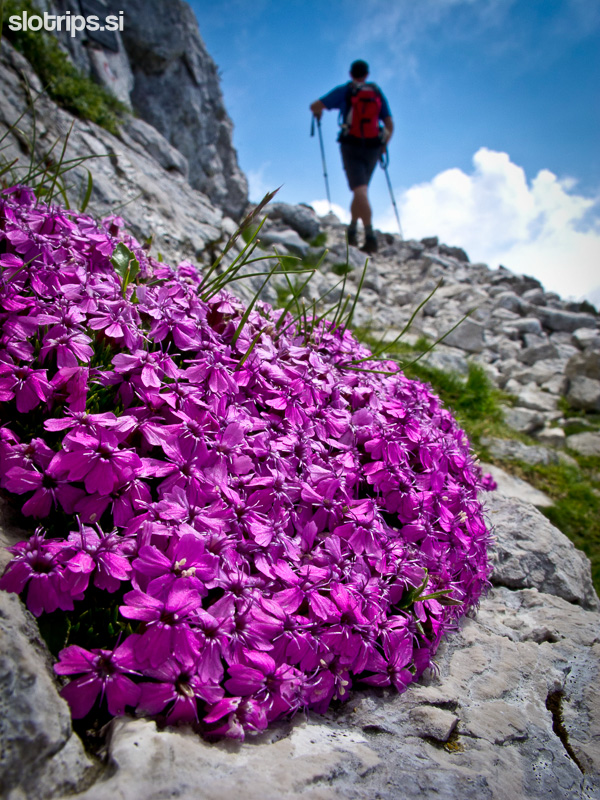
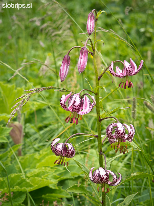
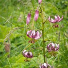
Alpine flowers on Mt. Krn -
Just below the summit of Mt. Krn -
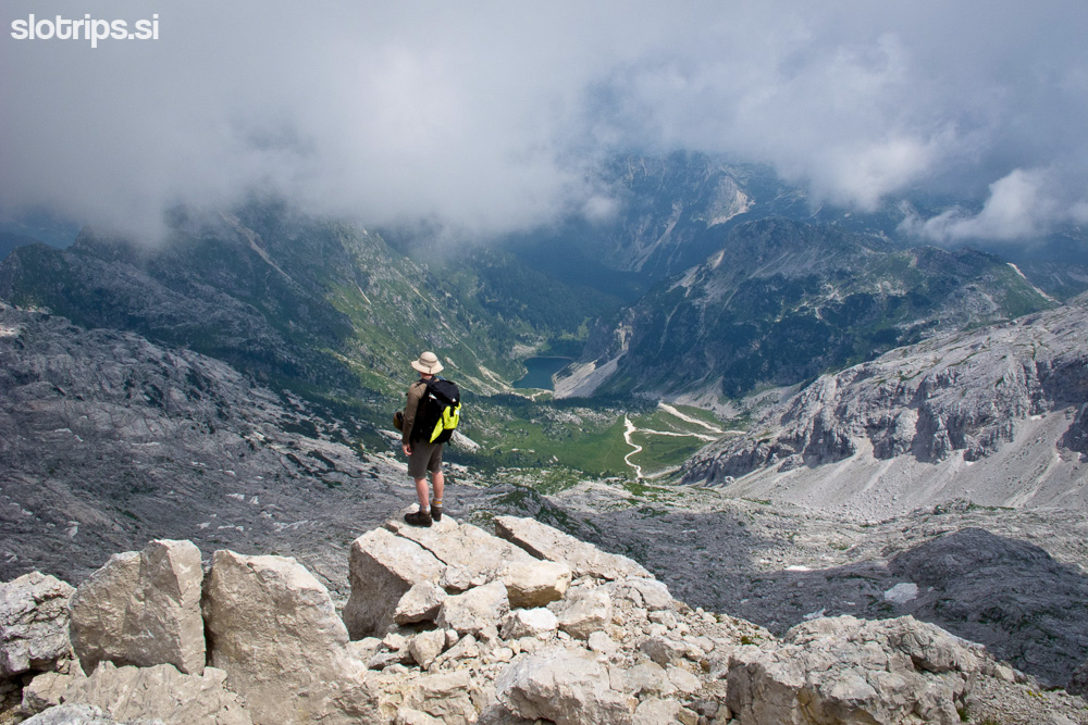
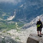
Mt. Krn and view towards Krn lake -
Mt. Krn and view towards Krn lake -
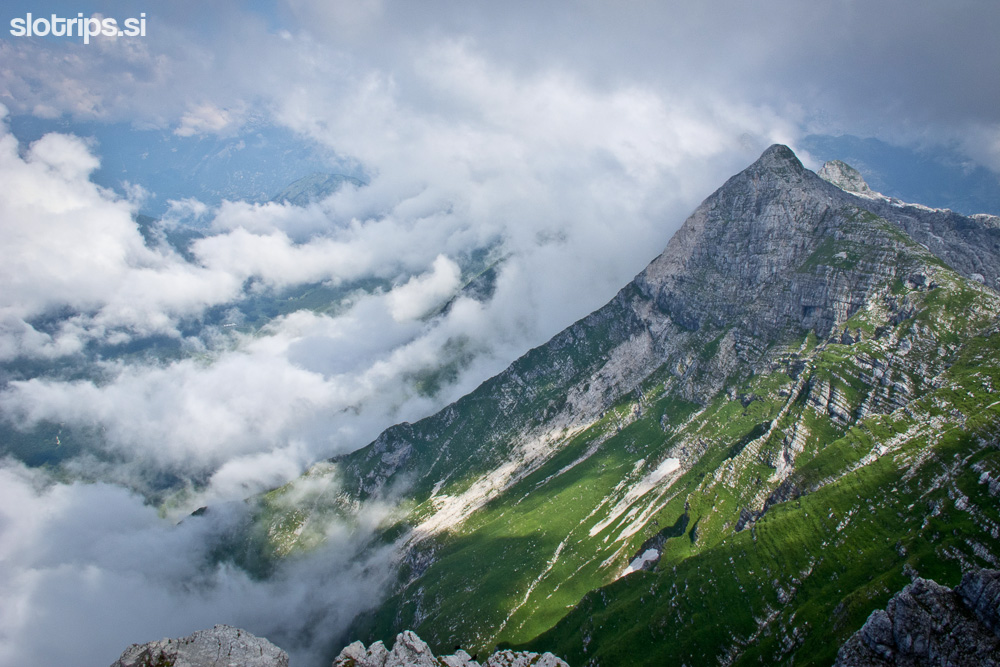
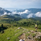
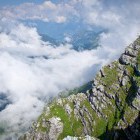
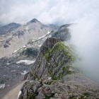
View towards Batognica and Vrh nad Peski -
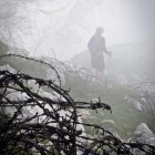
WWI barb wire on Krn -
Descent towards Krnska Skrbina -
Friends on Mt. Krn -
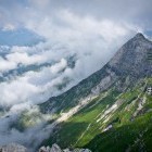
Batognica and Vrh nad Peski -
View towards Krn Lake -
Ascent to Mt. Batognica -
WWI remains on Batognica -
The summit of Batognica -
View towards Mt. Krn -
Explosion remains on Batognica -
Explosion remains on Batognica -
View towards Vrh nad Peski -
Descent towards Luznica Lake -
Luznica Lake and Batognica -
Descent back to the south -
Alpine flowers -
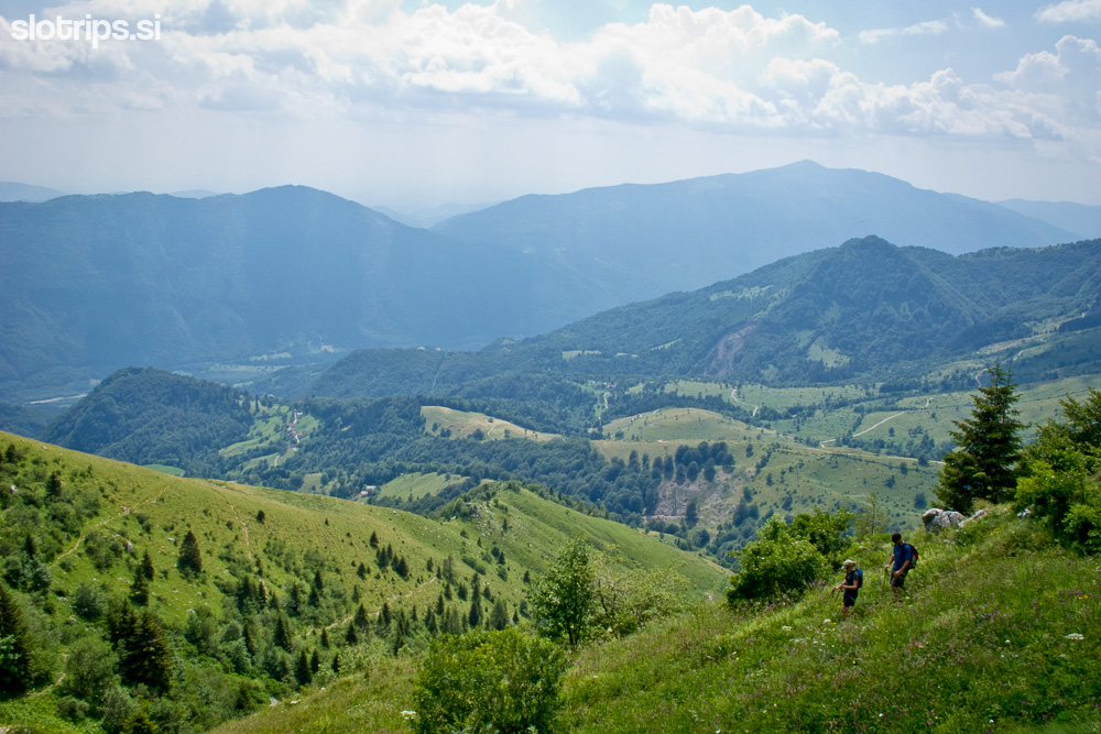
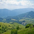
View towards to Soca valley -
Great tour!