


Starting point:
Start in Zaka - a bay on the west side of Lake Bled (go towards Bohinj from Bled and turn right on the crossroad behind Vila Bled chateau. Park on the parking lot near camping Zaka).
Description:
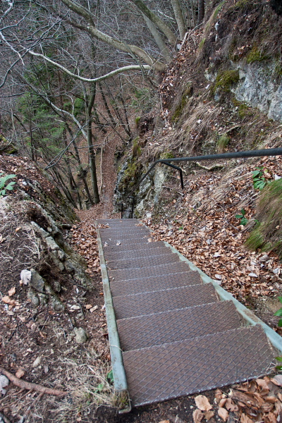
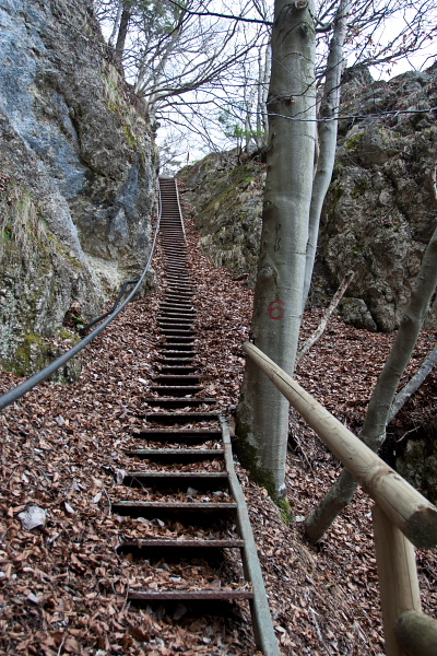
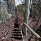
At the edge of a meadow in the south part of Zaka (really close to the lake) follow an unmarked path into the forest. After a short while you will merge with a wider path and turn right. Follow the path through the forest until you come across a signpost for Ojstrica where you turn right. In a few minutes you will reach a remarkably gorgeous summit with a bench and an unmatchable view of Lake Bled. Return back to the path and follow signposts for Mala Osojnica. You will come to a viewpoint just below Mala Osojnica summit with a few benches and an information board. Descending from Mala Osojnica directly towards the lake is a bit more trublesome. It leads across a steep slope which can be very inconvenient when wet. At first you have to descend on steep metal stairs (slippery due to water and leaves) and afterwards 'zig-zag' on a narrow path secured by a wooden fence. Once you reach the road, go left and walk to Zaka on a neat path and wooden 'footbridge' just by the lake. If you suffer from vertigo, I suggest descending down the path of ascent.
Highest point/summit:
Ojstrica: 611 m
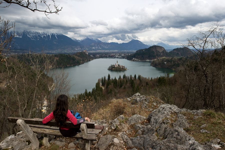
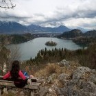
Viewpoint at Mala Osojnica: 670 m
Duration
Zaka – Ojstrica: 20 min
Ojstrica – Mala Osojnica: 15 min
Mala Osojnica – Zaka: 25 min
Total: 1 h
Difficulty:
1 - The ascent is simple. Be careful when going down from Mala Osojnica towards the lake, because it is steep and slippery when wet!
Type of path:
Unmarked - The path is unmarked, but signposts help you in some places.
Gallery

-
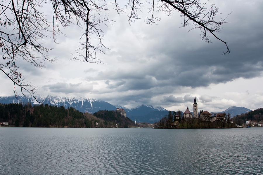
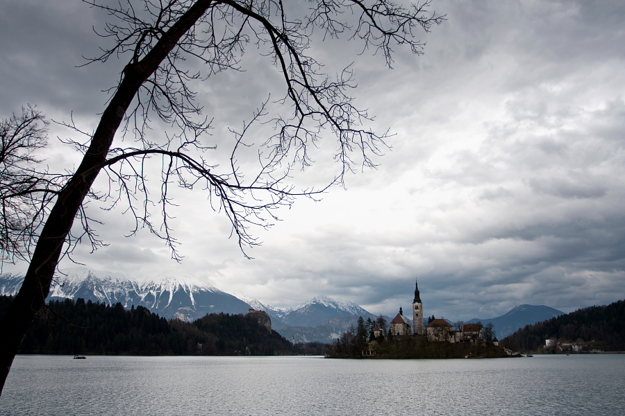
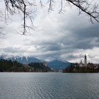
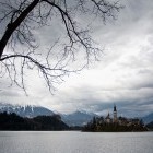
End of winter in Bled -

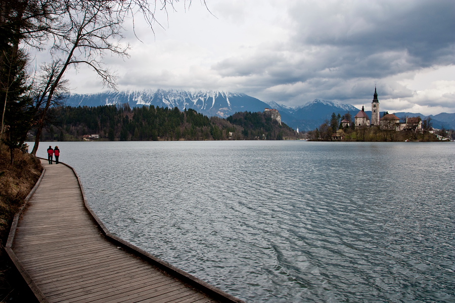
The wooden "bridge" on Lake Bled shore -
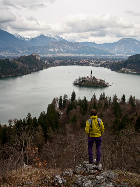
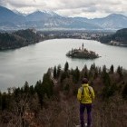
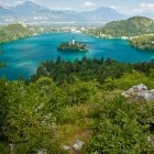
On the summit od Ojstrica above Lake Bled -
On the summit od Ojstrica above Lake Bled -
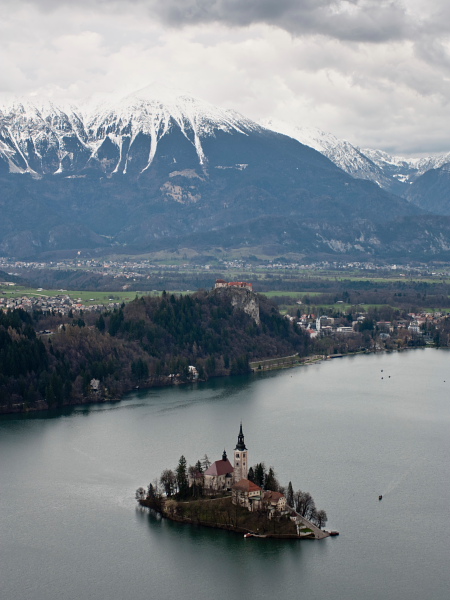
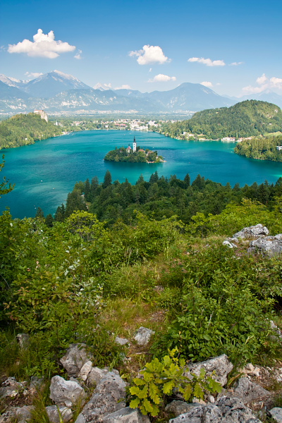
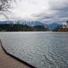
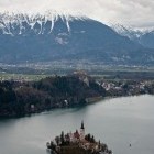
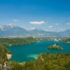
View on Lake Bled from Ojstrica -
Steep stairs on direct... -
... descent from Mala Osojnica to Lake Bled -
End of winter in Bled -
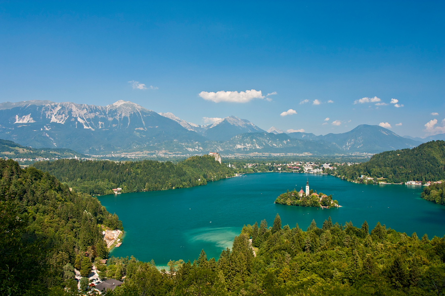
And the summer view... -
... on Lake Bled from Ojstrica -
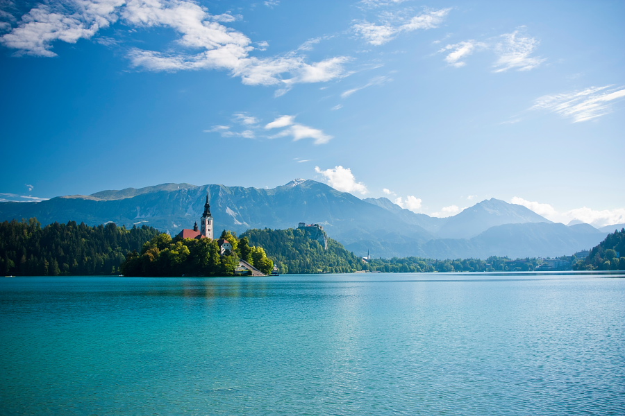
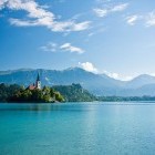
Summer "postcard" from Bled