


Starting point:
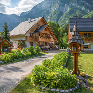
Tolminske Ravne. Just before Tolmin (if you are coming from the south) turn to the right towards Zadlaz or Žabče village. Follow signposts for Zadlaz or Tolminske Ravne. The road to Tolminske Ravne is entirely paved but narrow and often inconvenient for meeting oncoming vehicles. There is a small parking lot at the end of the road in Tolminske Ravne on the right side (12 km from Tolmin).
Description:
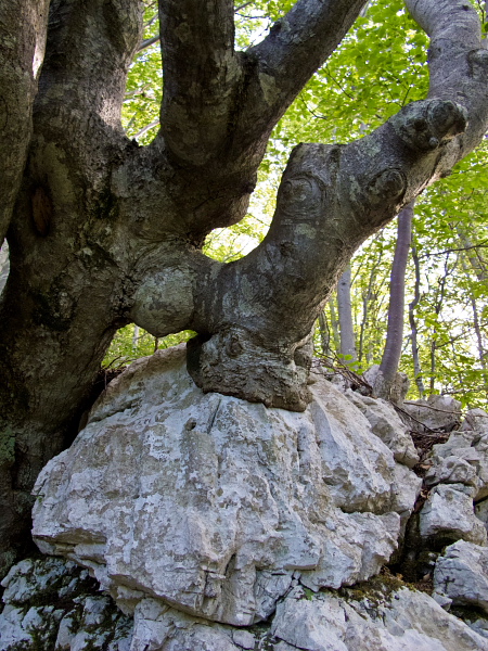
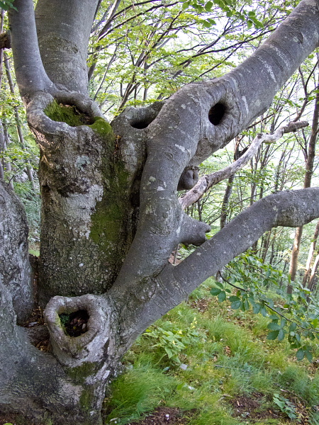
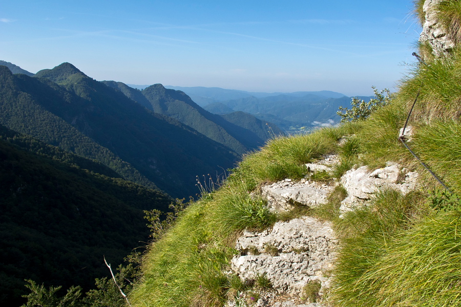
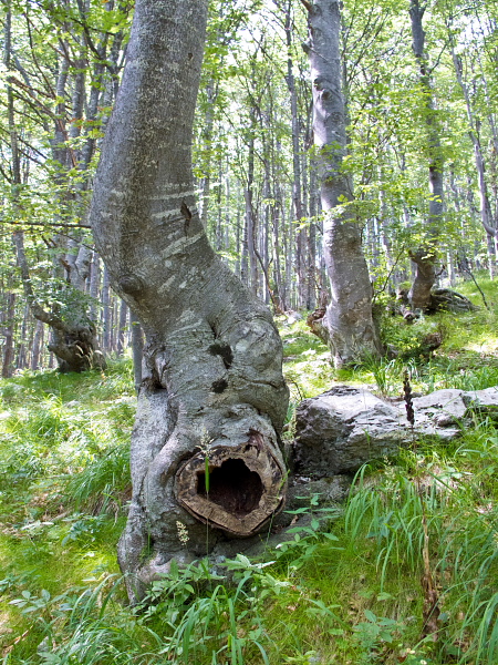
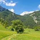
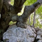
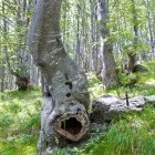
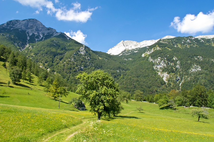
Continue by the parking lot straight on a cart road past two cattle gates. The path descends slightly, and after a water reservoir splits into a flatter (longer) and steeper (shorter) path. They are both nicely marked and lead to Razor meadow. Walk to the meadow through a nice beech forest and observe the peculiar tree shapes on the way. There is a short section on the 'steep' path, which is slightly precipitous and has a few steel cables for security. Views in all directions open from the gorgeous Razor meadow.
The cheese 'factory' is active here in summer, plus 'Koča Na Planini Razor' hut is open as well. Ask for local 'štruklji' dish! Behind the hut the path splits into three branches: Vogel (to the right), škrbina (the middle one) and Kal meadow (to the left). Choose the left one and proceed on a grassy cart road by the edge of the meadow towards the rocky pyramid of Mt. Tolminski Migovec. At first the path runs on a grassy and flat terrain, but later it leads into the forest. Shortly after you come into the forest, the path splits; go right and begin to ascend slightly. The footpath brings you to a marked crossroad, where a path ascends from Tolminske Ravne towards Mt. škrbina.
Cross this path and carry on in the same direction. The once again flat path leads you through dwarf pines below the vertical walls of Tolminski Migovec and finally brings you to the abandoned Kal meadow. Although you will turn left here and begin to descend back to Tolminske Ravne, it is worth to go up a few meters to the right on a marked path (direction Komna or Krn), where a great view towards the Krn group opens. Return back to the meadow and march into the forest. Descend directly to Tolminske Ravne on a nice mule track towards south-east.
Highest point/summit:
Razor meadow: 1315 m
Kal meadow: 1490 m
Duration:
Tolminske Ravne - Razor meadow: 1.15 h
Razor meadow - Kal meadow: 1.30 h
Kal meadow - Tolminske Ravne: 1 h
Total: 4 h
Difficulty:
1 - The entire route is technically easy.
Type pf path: marked path. The markings are faded in some places, but there should be no problem with orientation.
Gallery

-
Starting in Tolminske Ravne -

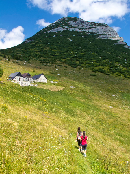
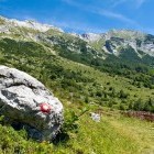
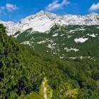
On the way to Razor meadow -
On the way to Razor meadow -
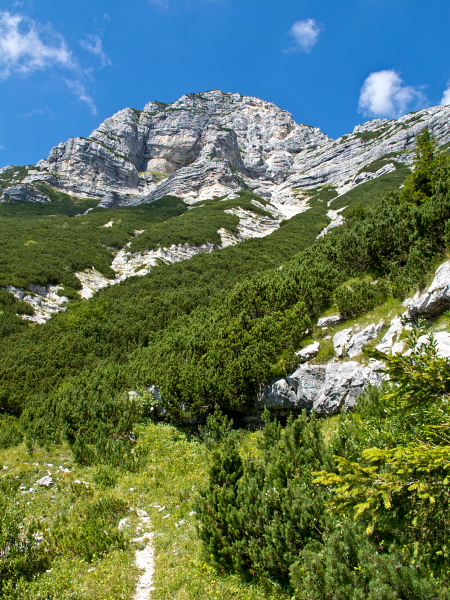
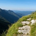
Partly exposed section on the steep path towards Razor meadow -
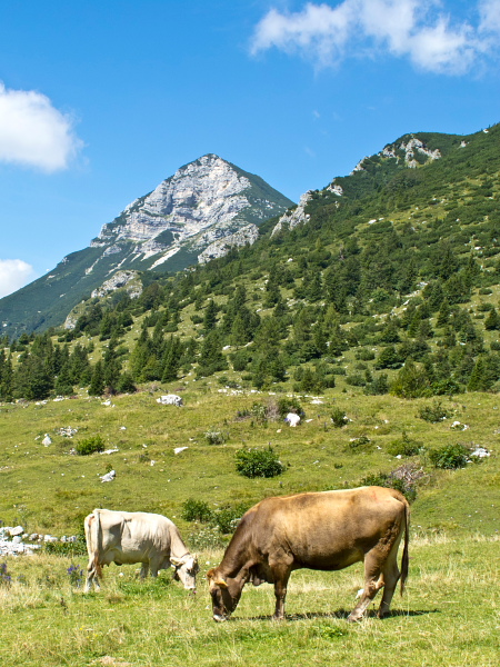
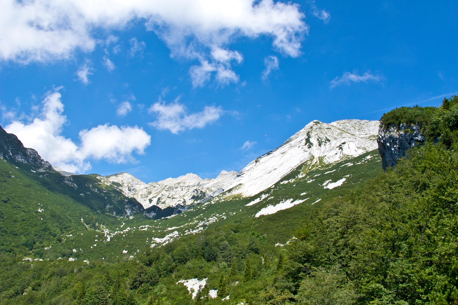
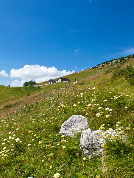
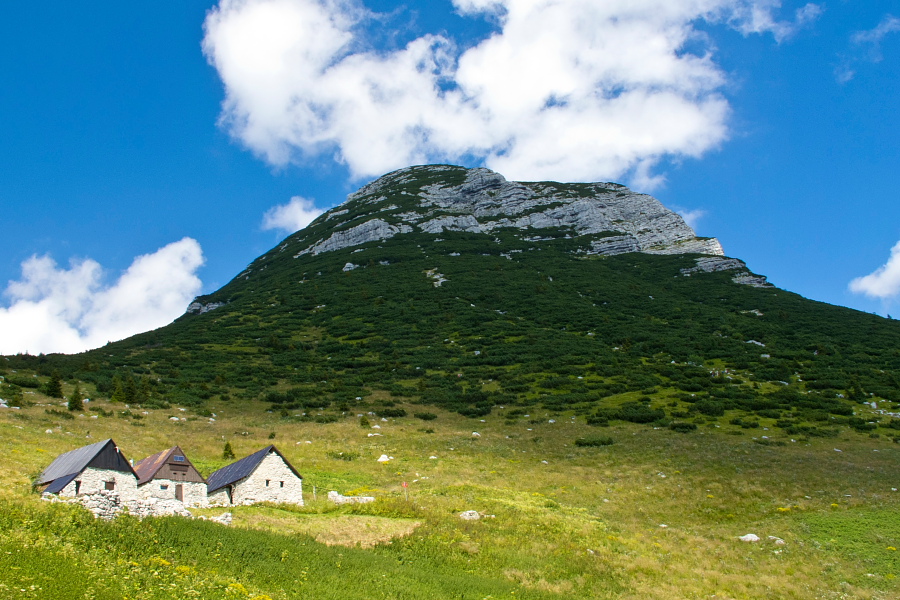
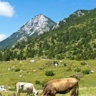
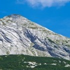
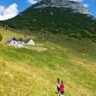
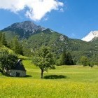
Razor meadow and Mt. Migovec in the back -
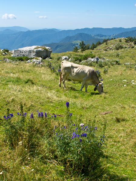
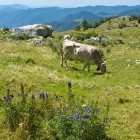
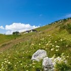
Razor alpine meadow -
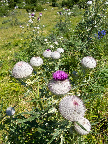
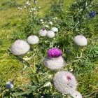
Flowers -
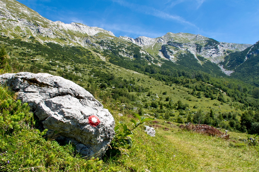
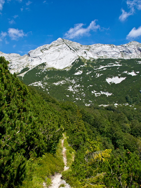
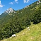
On the way to Kal meadow -
On the way to Kal meadow -
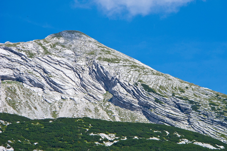
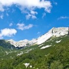
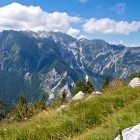
View towards Škrbinska plošča -
Mt. Meja -
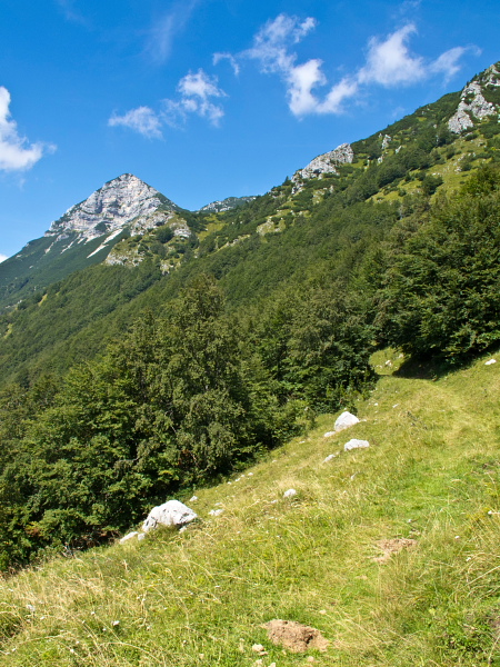
On the way to Kal meadow -
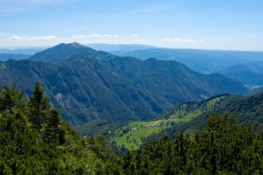
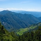
View towards Tolminske Ravne -
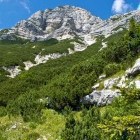
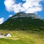
Below Tolminski Migovec -
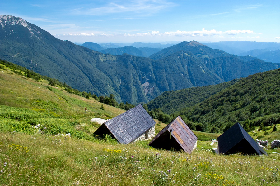
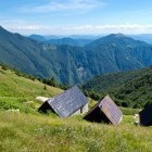
Kal alpine meadow -
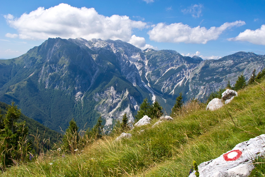
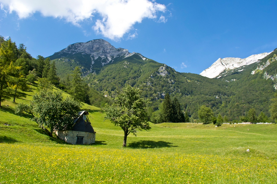
View towards Krn-group from Kal meadow -
Kal alpine meadow -
Kal alpine meadow -
Starting the descent towards Tolminske Ravne -
In the forest -
In Tolminske Ravne again