


Starting point:
Javorniški Rovt village. Leave the motorway 'Ljubljana – Jesenice' on exit 'Jesenice – vzhod'. Descend slightly, drive over Sava River and turn right at a bigger crossroad. Already after about a kilometer signposts will guide you left towards 'Javorniški Rovt'. Ascend up to Javorniški Rovt and on a sharp left turn (where a hiking signpost for Medji Dol is) drive straight onto a dirt road. After about 500 m park by the road (where a smaller dirt road branches off to the left).
Description:
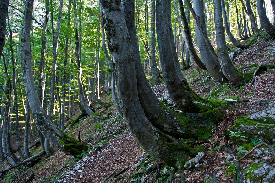
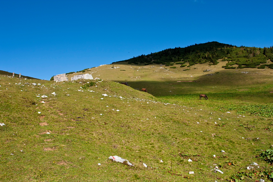
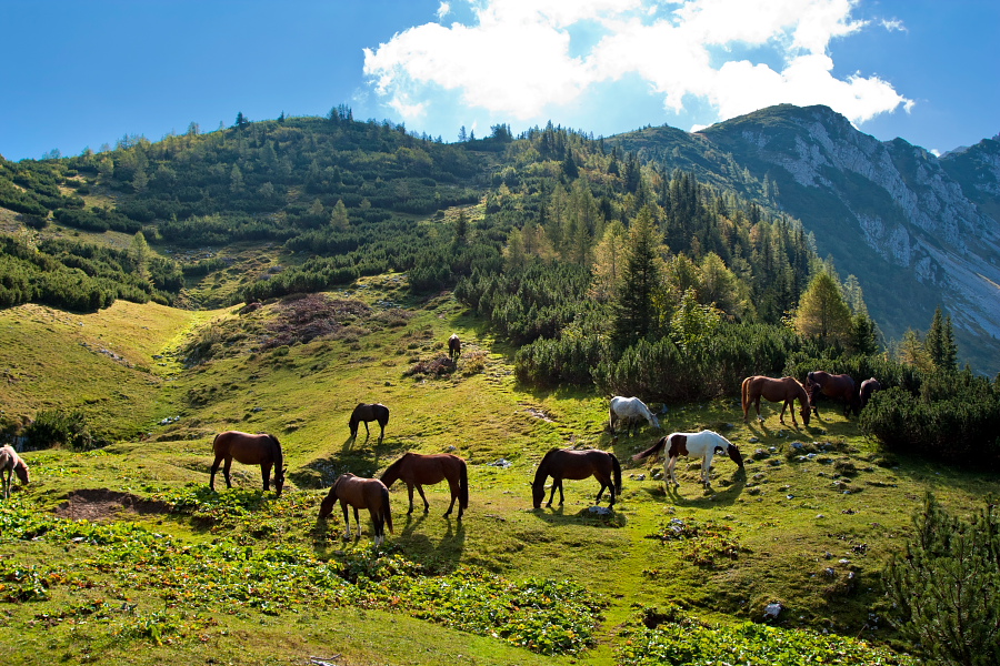
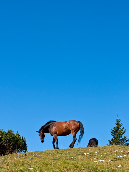
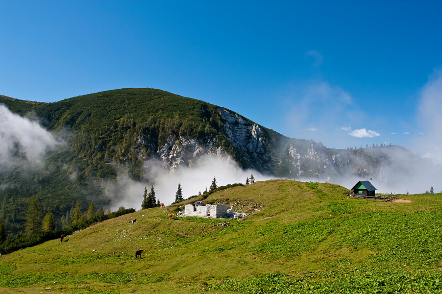
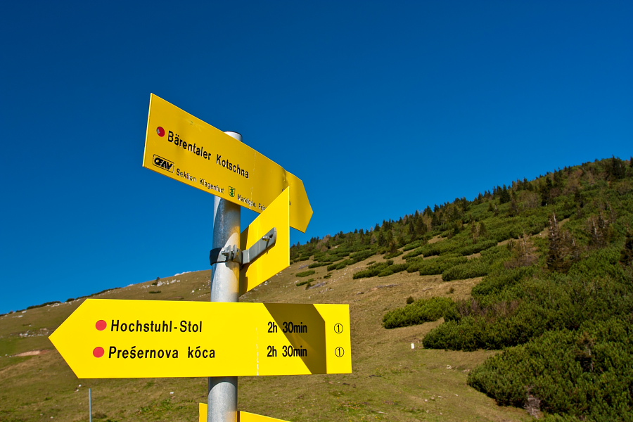
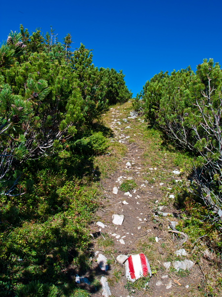
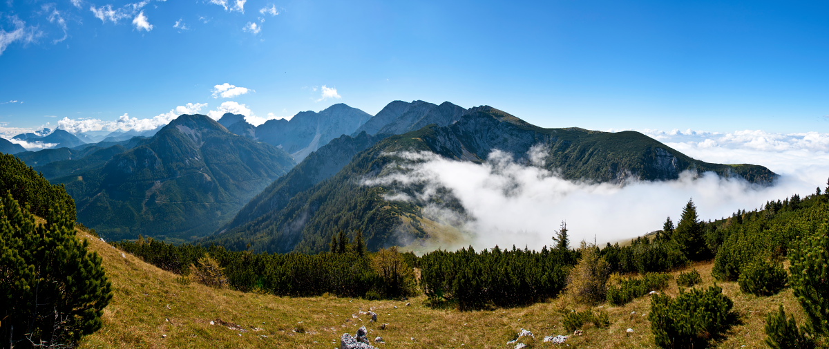
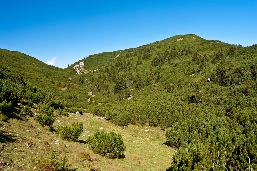
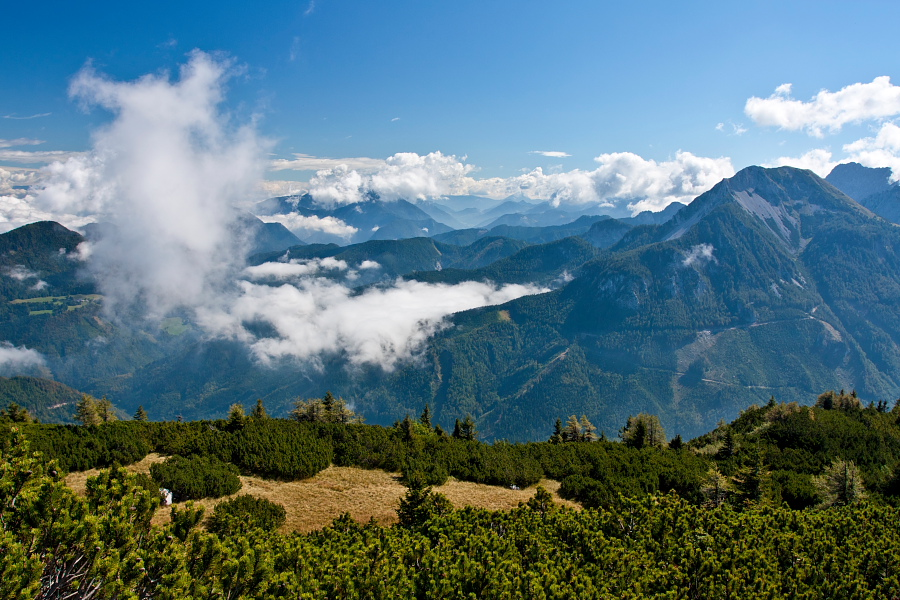
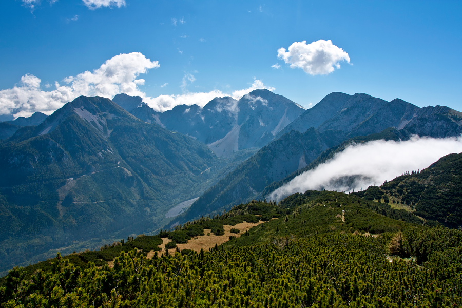
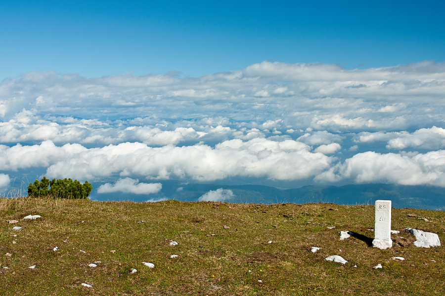
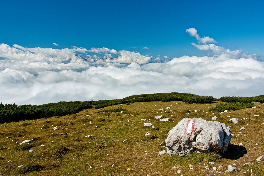
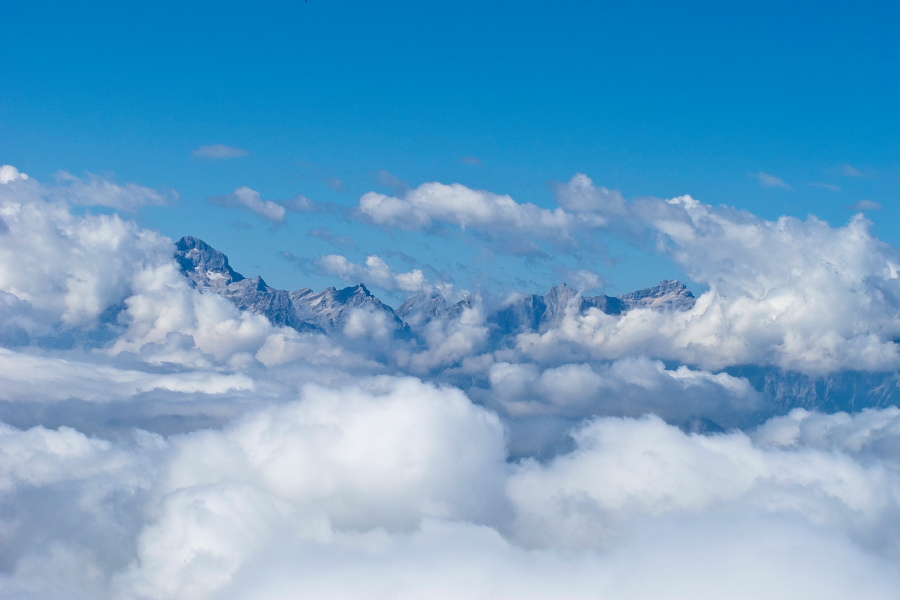
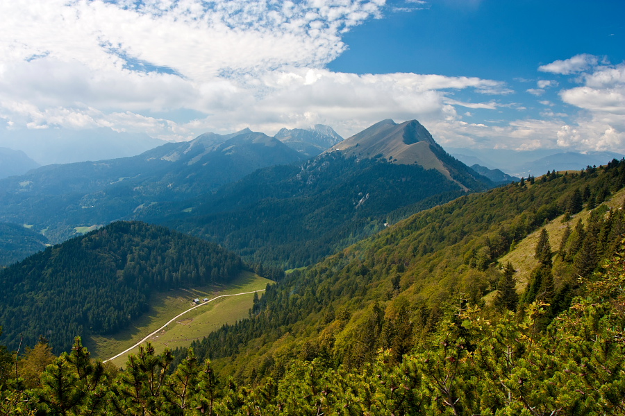
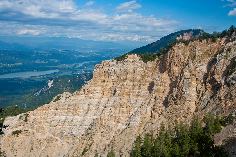
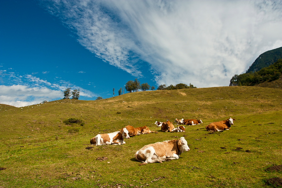
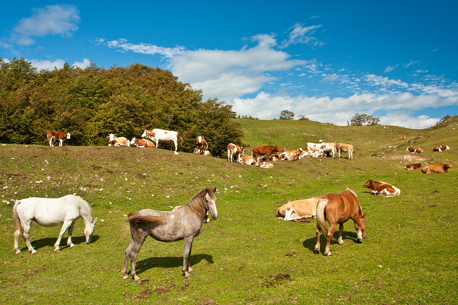
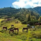
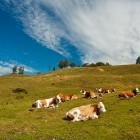
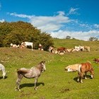
From the mentioned parking lot go straight along the dirt road until an artificial lake where the road ends. Follow the markings straight on. The path ascends through the forest and after about 2 hours you will come to a charming Seča alpine meadow right on the Slovene-Austrian border. We were 'greeted' by beautiful horses here. A marked path on the Slovenian side goes to the left here, crosses the south slopes of Struška and brings you directly to another alpine meadow - 'Belska Planina'. This path is panoramic and shorter, but skips the summit of Struška itself (called Veliki Vrh). If you wish to go up to 'Veliki Vrh' summit, go from Seča meadow to a saddle on the border between Slovenia and Austria, where the yellow Austrian hiking signposts are. A signpost for 'Bärentaler Kotschna' (Austrian name for Struška) directs you along a ridge towards north-west. Follow the Austrian markings throughout (three stripes: red-white-red) and walk among dwarf pines along the Slovene-Austrian border the whole time. The path descends a bit in between and then finally ascends to the rounded grassy 'Veliki Vrh' summit. The Julian Alps are at the tip of your fingers, Austrian town of Celovec is deep below you and the giants of Austrian Alps show their white heads in the distance. I hope the clouds will allow better views to you than they did to us on that day.
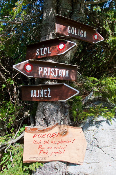
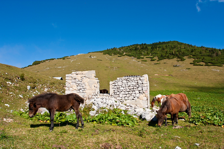
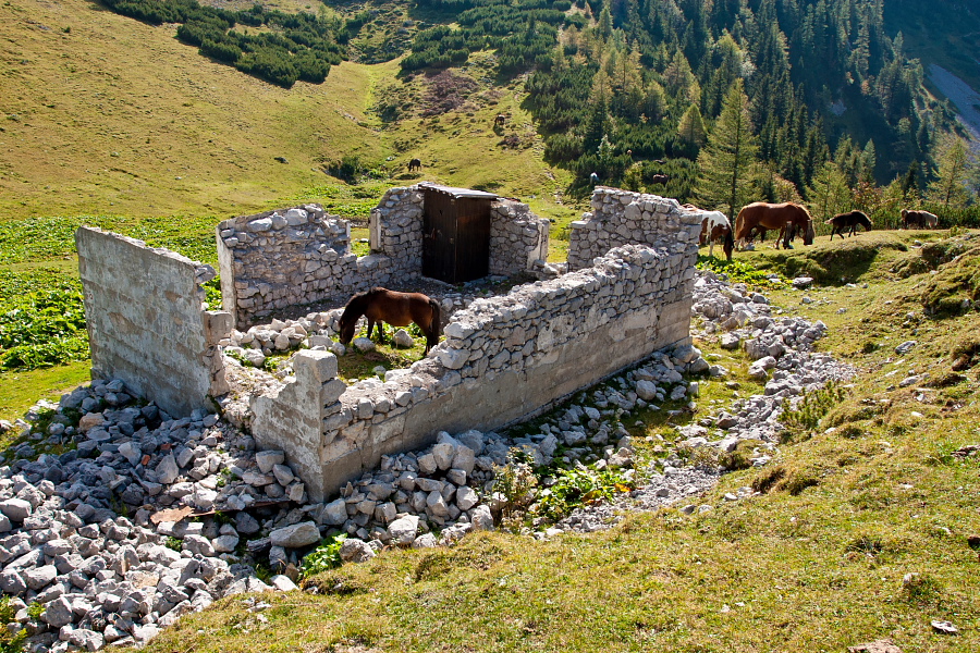
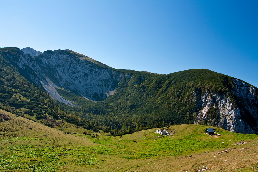
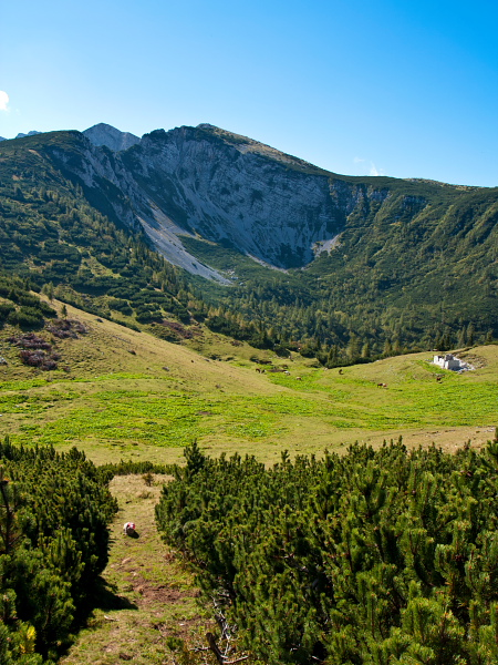
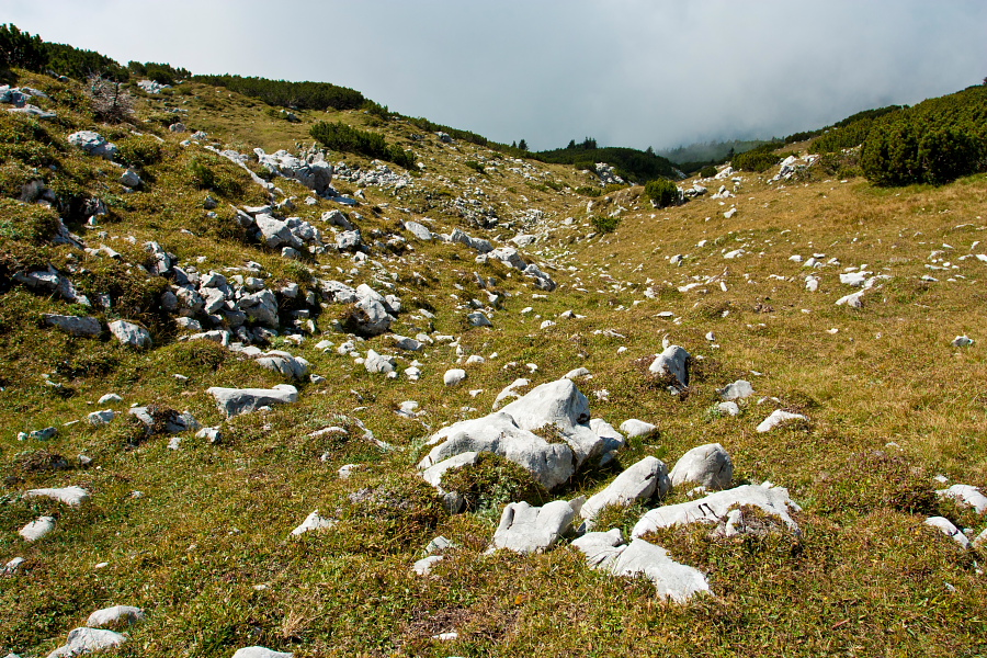
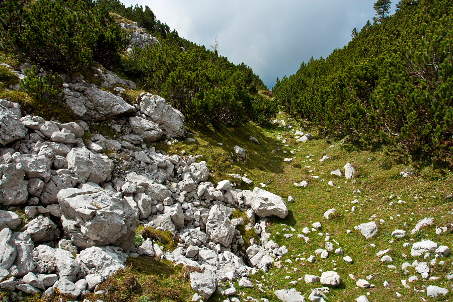
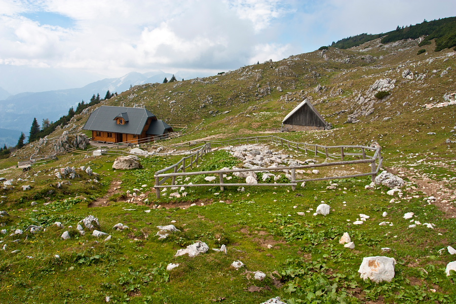
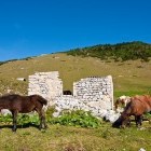
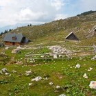
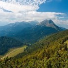
No marked path leads towards 'Belska Planina' meadow from the summit, so you will have to find your own way through this pathless 'dwarf pine labyrinth'. Descend to the west and not far away from the summit find some sort of a small 'valley' and continue along it. A bit further down you will notice a clear path, go to the right on it and turn left into the next little 'valley' after about 100 meters. An unclear footpath leads to 'Belska Planina' meadow through dwarf pines. A pretty wooden cottage of a local shepherds' community stands here; you can get some refreshments here (especially on weekends). Right by the cottage a marked path goes towards north-west (do NOT go along the dirt road). The delightful path leads you to Kočna saddle between Struška and the 'pointy' Mt. Golica in a gentle descent. You will have excellent view on the grassy 'pyramid' of Golica. On the Kočna saddle turn left and follow the markings for Pristava. Soon you will come to a dirt road (you can drive up to here by car – option 2) and proceed along it to the next cute meadow – Pusti Rovt. At the end of Pusti Rovt meadow a foot-path branches off from the road and turns left into the forest. Follow the path which descends by a stream and comes to the next road. Although signposts for Pristava guide you to the right (along a dirt road), you should go straight on along the stream. Follow a marked path, which leaves the stream bed a bit later. Pay attention to a poorly visible spot (at about 1050 altitude meters), where a narrow footpath leaves the main path and turns left. If you follow the main path, you will come directly to 'Dom Pristava' hut, from where you will have to return to the starting point along the road. But if you have made the correct turn to the small path, you will come to a vast meadow in about 100 meters. Walk to the end of it on its left side, turn left and come to a holiday house, where you turn right. Shortly after the house you will come to a forest road; follow it and return directly to the place where you left your vehicle.
Option 2: You can shorten the trip significantly and drive to 1370 altitude meters by car. In 'Javorniški Rovt' drive in the direction of 'Dom Pristava' hut. Behind the hut turn right onto a dirt road. After about 2 km turn sharply to the left and soon after that sharply to the right. Ascend up to the parking lot above 'Pusti Rovt' meadow, where a gate towards 'Belska Planina' closes the road. Leave your vehicle here and proceed on foot along the (closed) road to 'Belska Planina' meadow. However, it is much more beautiful if you go along the above described direction of descent: rise towards north-east to Kočna saddle and follow the marked path eastwards to 'Belska Planina' meadow. There is no marked path from here to 'Veliki Vrh'; ascend eastwards and look for passages between the dwarf pines (or follow our GPS data).
Highest point/summit:
Veliki vrh (Struška): 1943 m
Duration:
Javorniški Rovt - 'Planina Seča' meadow: 2 h
'Planina Seča' meadow - Veliki vrh: 1 h
Veliki vrh - 'Belska planina' meadow: 30 min
'Belska planina' meadow - Javorniški Rovt: 2 h
Total: 5.30 h
Difficulty:
2 - The whole route is technically easy. Orientation is a bit difficult on unmarked sections. The top section of Struška is extremely inconvenient in fog.
Type of path: Marked path
Gallery
-
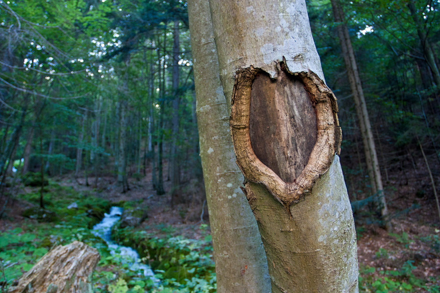
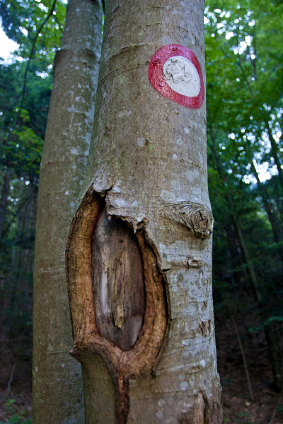
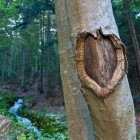
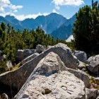
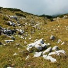
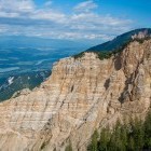
Struška - The shapes of nature -

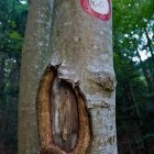
Struška - The shapes of nature -
Struška - The shapes of nature -
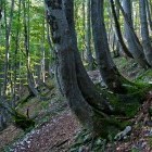
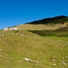
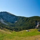
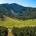
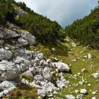
Struška - Below Seča alpine meadow -
Struška - Seča alpine meadow -
Struška - Seča alpine meadow -
Struška - Seča alpine meadow -
Struška - Seča alpine meadow -
Struška - Seča alpine meadow -
Struška - Seča alpine meadow -
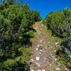
Struška - At the border turn left an continue along the ridge -
Struška - Looking back -
Struška - Looking back -
Struška - Austrian markings on the border -
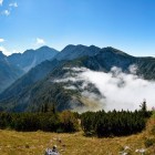
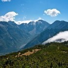
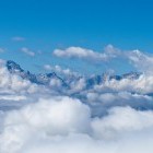
Struška - Karavanke mountain chain -
Struška - Towards Velik vrh -
Struška - View to the Austrian side -
Struška - Signs on the border -
Struška - View towards Stol -
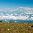
Struška - On the summit -
Struška - On the summit -
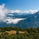
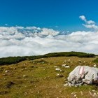
Clouds around Mt. Triglav -
Struška - Descent along a pathless terrain towards Belska alpine meadow -
Struška - Descent along a pathless terrain towards Belska alpine meadow -
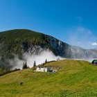
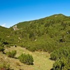
Struška - Belska alpine meadow -
Struška - Path towards Golica -
Struška - On the way -
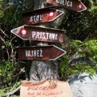
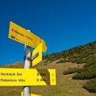
Kočna saddle -
Kočna saddle -
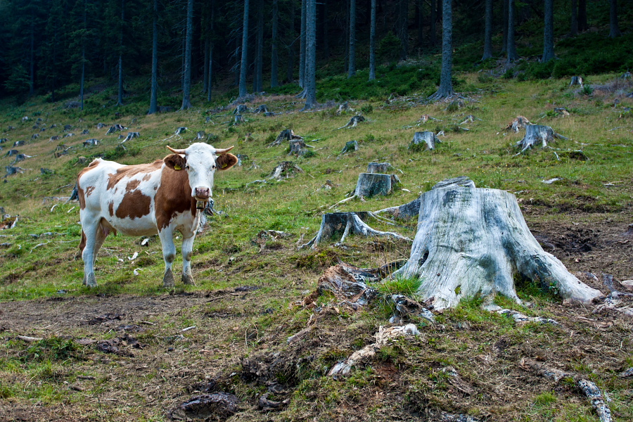
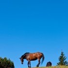
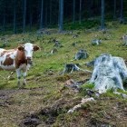
Struška - A new friend