


Starting point:
End of the road in Završnica valley: from Bled drive towards the highway and turn towards Žirovnica at the big roundabout just before the highway. The main road takes you past Žirovnica village and just after the bridge across Završnica stream take a sharp right turn into the village of Moste. Go left at the first crossroad and then right immediately. Follow the main road and drive past the artificial lake. A dirt road starts after the lake. Follow it for another 5 kilometers and you'll come to a small parking at the end of the road. Caution: the road is quite steep and rough at the end. It might be better to leave the car a bit lower by the road.
Description:
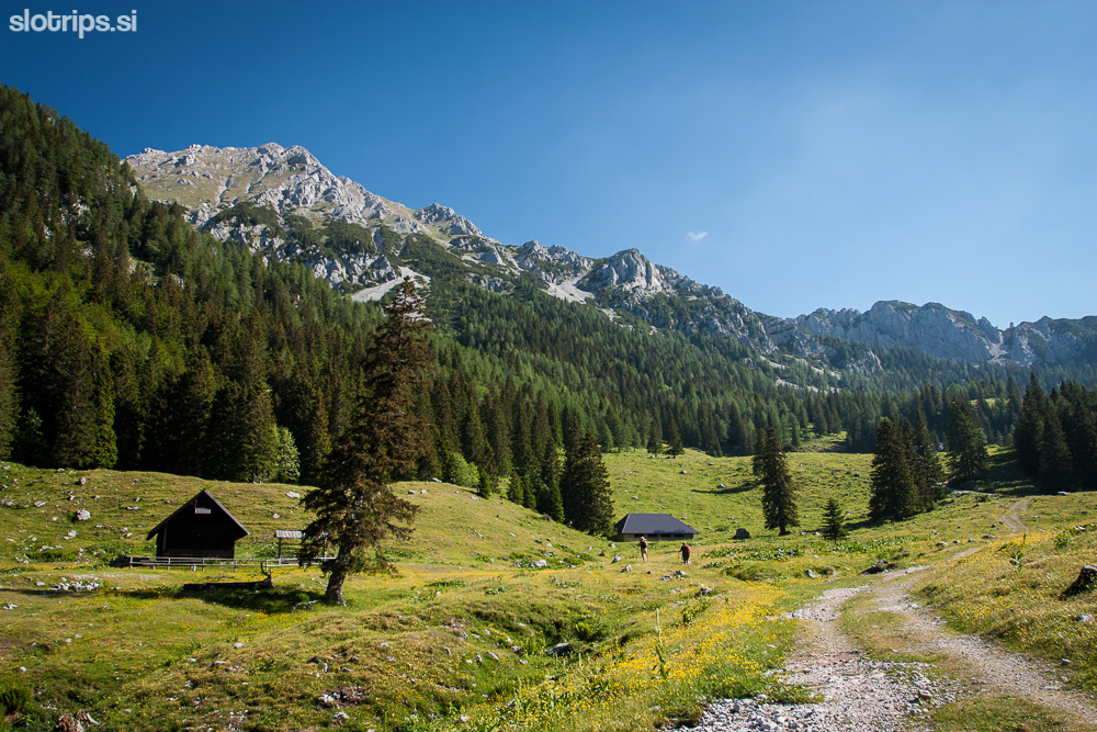
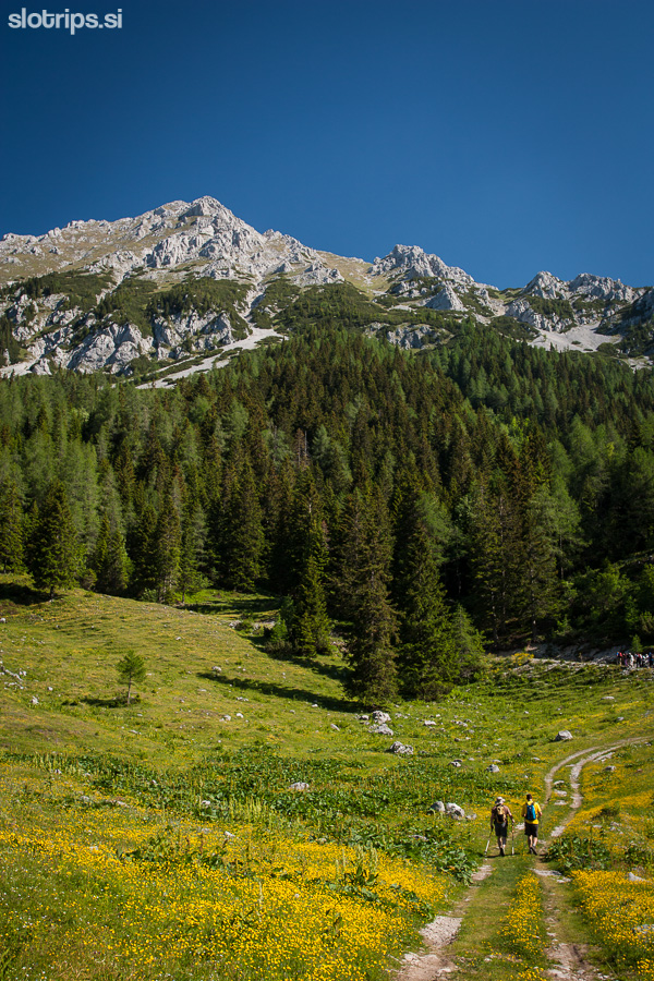
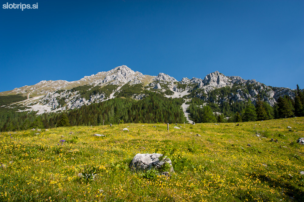
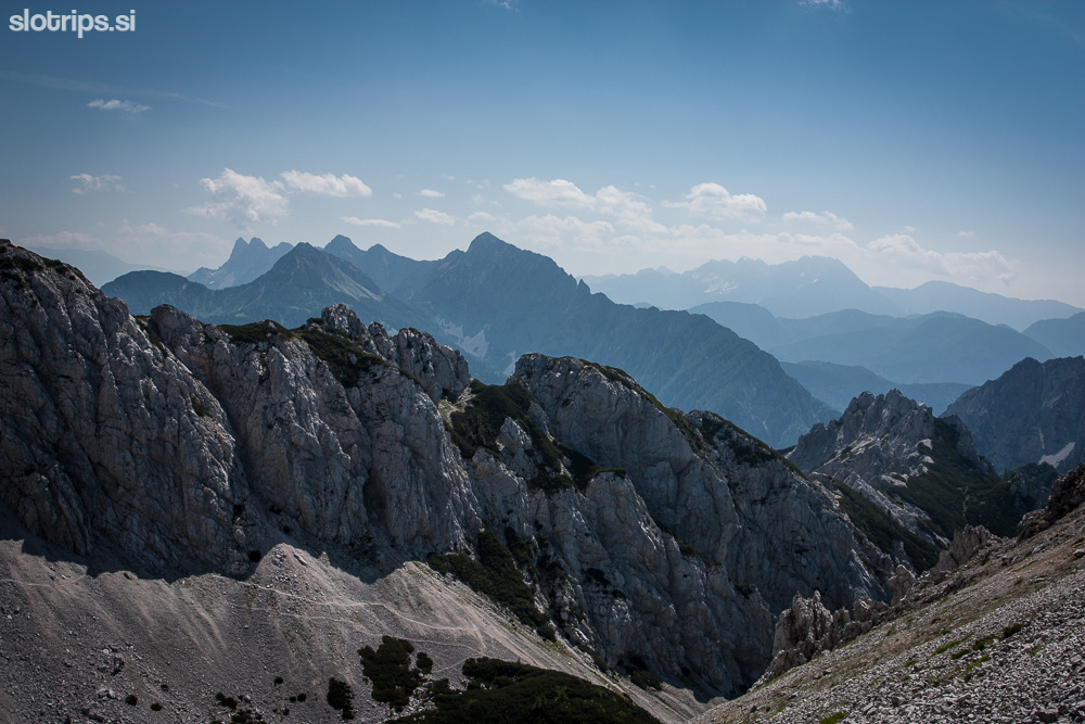
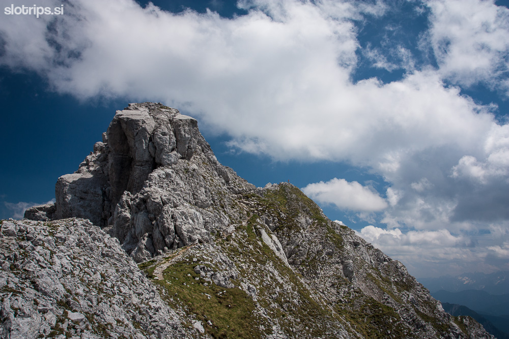
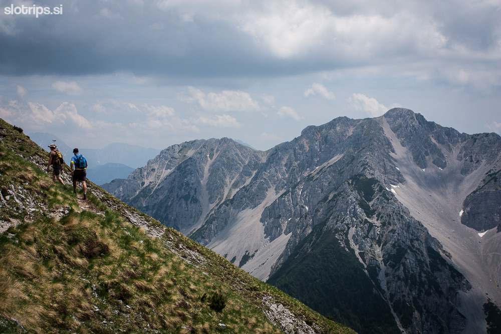
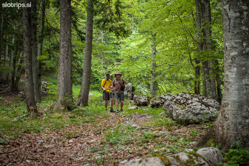
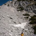
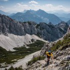
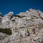
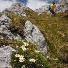
From the end of the 'drivable road' a rough forest road continues to the right. Follow it for just a few steps and then take the shortcut across the meadow. Soon you'll join the road again and follow it all the way to 'Smokuška planina' (straight ahead). In less than an hour you will come to a big meadow (Smokuška planina) where you'll find the Završnica mountain hut. Turn left at the hut and ascend to šija saddle (a saddle between the summit of rather small Srednji vrh and Vrtača). Once you reach the šija saddle multiple paths diverge. To the left you can climb Srednji vrh, straight ahead descends the lower path to Stol and you take the less obvious path to the right and climb through dwarf pines. Soon you'll reach the marked path that goes from Zelenica towards Stol. Turn right again and in about 10 minutes you'll reach the next crossroad where you'll turn sharply to the left. You're now on the marked path from Zelenica towards Vrtača that will take you to the top of Vrtača without any orientation difficulties.
DESCENT: Go back the way you came all the way to šija saddle from where you can take another path through Zagon valley on the west side of Srednji vrh. At the signpost on the šija saddle take the path that is not marked (between the path to Srednji vrh and the lower path to Stol). At first the path is clearly visible but it gets a little lost later on and takes you to a little crossroad where you keep to the left. The path isn't marked and can be hard to see at times. Descent is fairly steep but will take you directly to the parking lot at the end of the dirt road.
Highest point/summit:
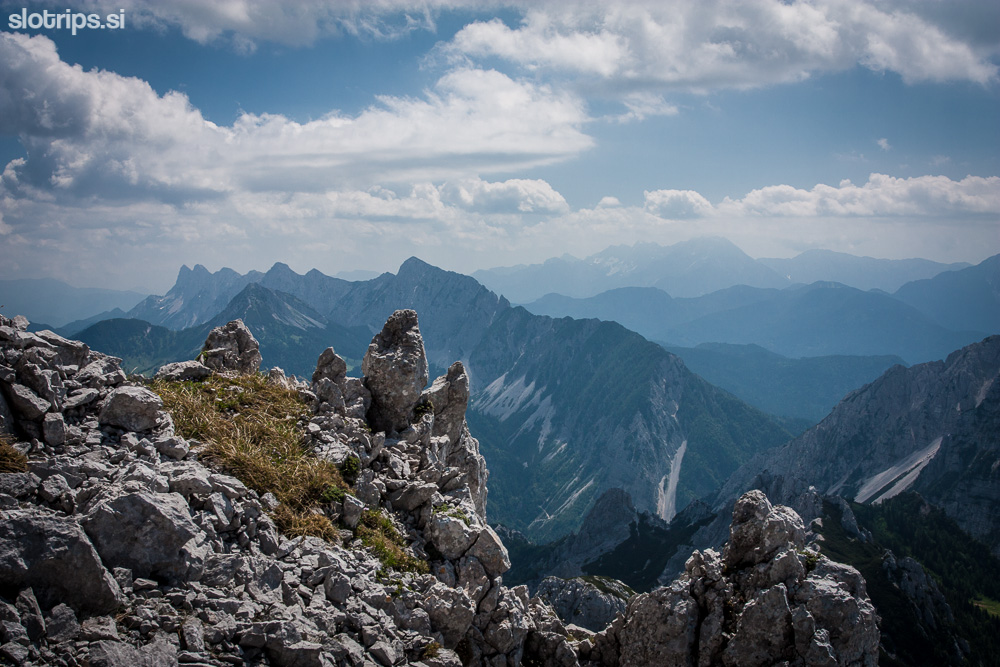
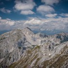
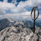
Vrtača: 2180 m
Duration:
Parking - Završnica hut: 45 min
Završnica hut - Vrtača (across šija saddle): 2.30 h
Vrtača - Parking (across šija saddle and through Zagon valley): 2.30 h
Total: 6 h
Difficulty:
2 - The whole trail is technically easy. In the upper part the path crosses steep meadows. Be careful in wet conditions and mind not to trigger falling rocks on hikers below you!
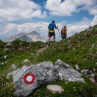
Type of path: Partly marked
Part of the trail between šija saddle and the 'Zelenica - Vrtača' path is not marked. Also the descent through Zagon valley isn't marked. Some orientation skills are needed in these sections.
Explore more of the Karawanks!
Try our 4-day self guided hiking tour Trekking the Karawanks.You can start on any day from late June until late September
Prefer the Julian Alps ?
Try our self guided Triglav National Park Adventure or guided Discover Slovenian Alps ![]()
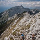
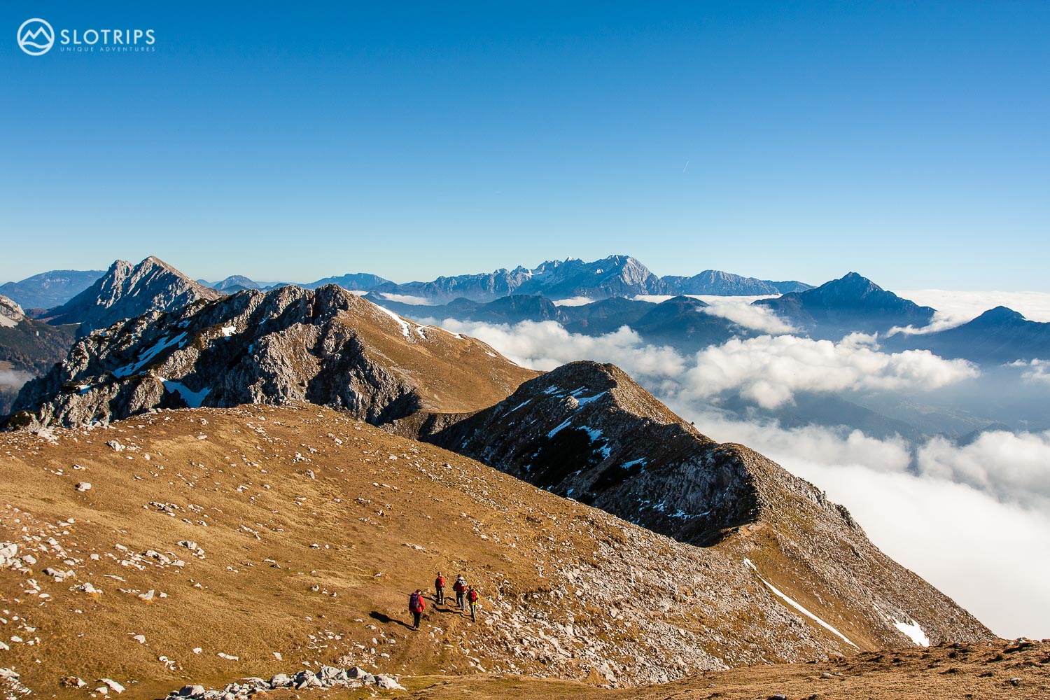 Hiking a grassy ridge on a Karawanks self-guided tour with Slotrips
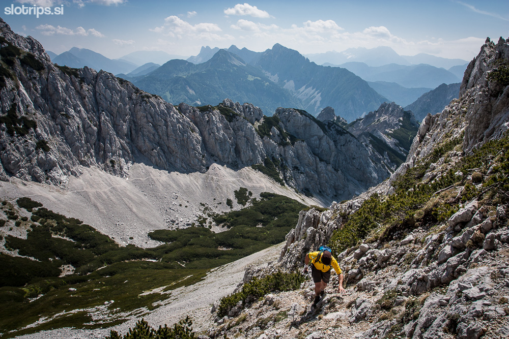
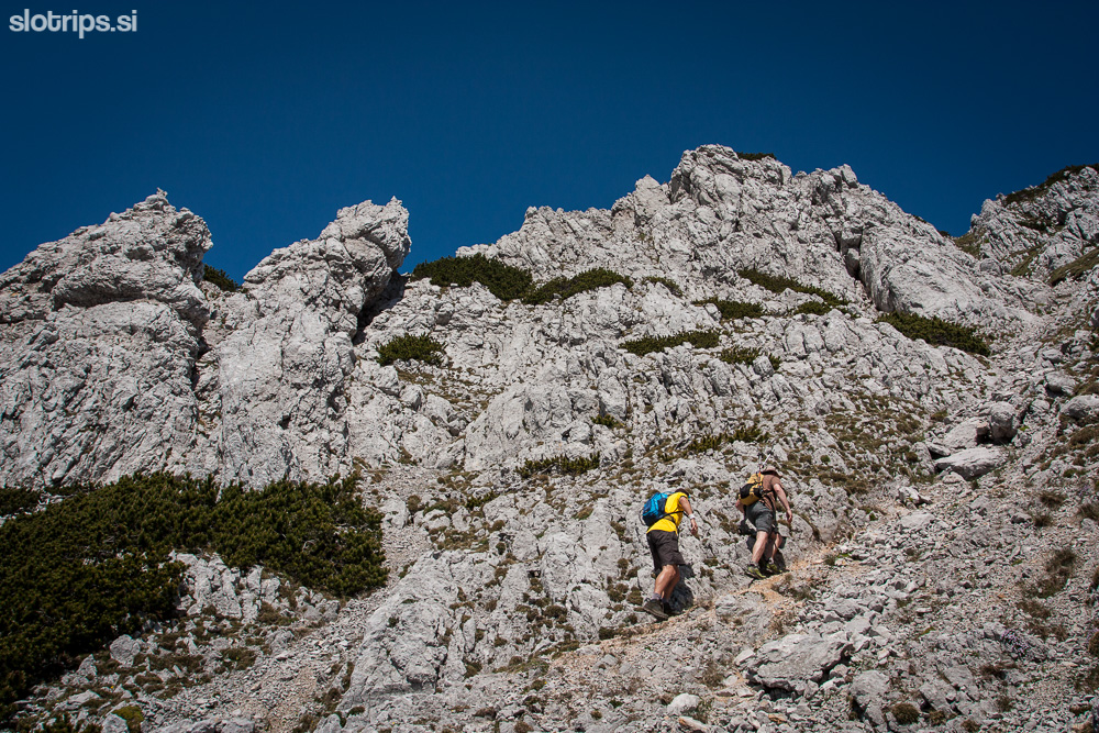
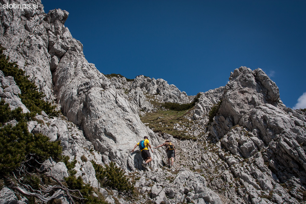
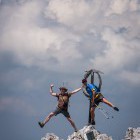
Option: Ascent along the pathless terrain across the south-east ridge called Mala glava
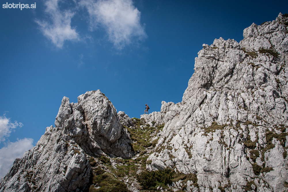
Climbing of 1st grade, Difficulty 4!!!
Behind the Završnica hut (on Smokuška planina) continue right towards 'Zelenica' (signpost). Go all the way to Zelenica hut where you turn left sharlpy on the marked upper path towards Stol. In about 1 kilometer a non-marked path will turn right (not very obvious). Take this turn and climb through dwarf pines towards north into the valley called 'Suho Ruševje' (popular especially in winter for ski touring). Observe the walls on your left and you'll notice a passage across the scree slope to the south-east Vrtača ridge. When the dwarf pines get less dense (around 30 minutes after you've left the marked path towards Stol) you'll find an obvious path which turns left and crosses the scree slope. It should take you to the ridge without problems. Here starts the steeper and more difficult part. Continue straight on along the ravine (beware of falling stones) until you reach the less steep meadows. Cross to the left and follow the terrain. The more experienced hikers shouldn't have any problems, but novices shouldn't take this path. This pathless terrain is a very interesting diversification of the Vrtača hike, but it is strongly discouraged in fog or wet conditions.
Gallery
-
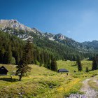
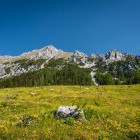
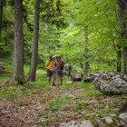
Hike to Vrtača from Završnica valley -

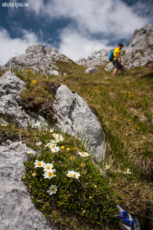
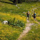
Hike to Vrtača; on Smokuška meadow -
Hike to Vrtača; on Smokuška meadow -
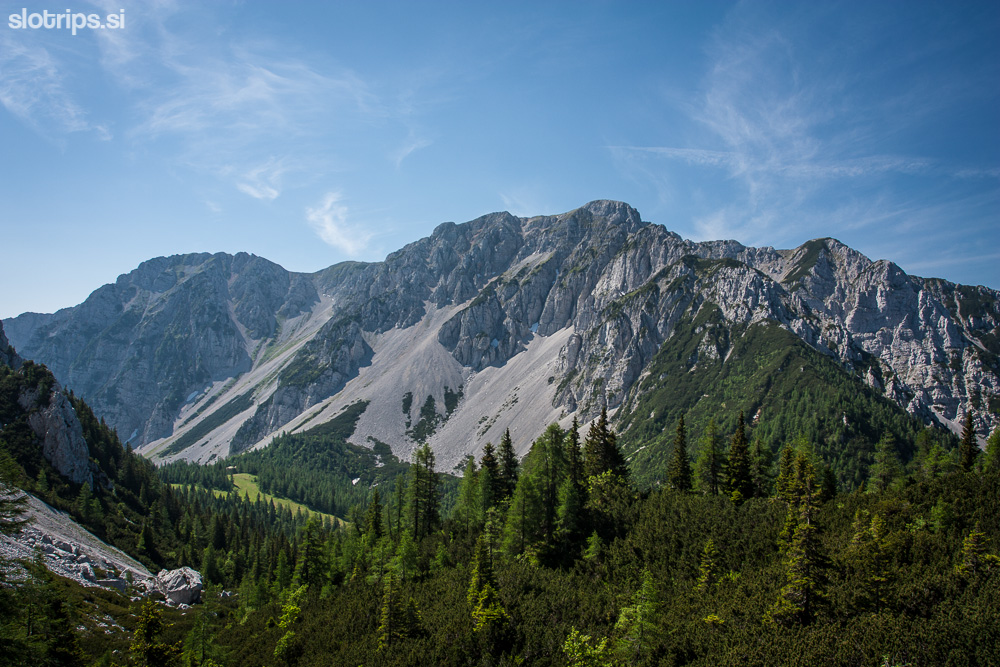
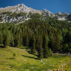
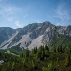
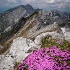
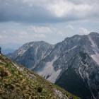
View towards Vrtača from Smokuška meadow -
Hike to Vrtača; on Smokuška meadow -
Hike to Vrtača; on Smokuška meadow -
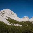
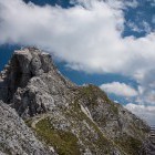
View towards Mt. Begunjščica -
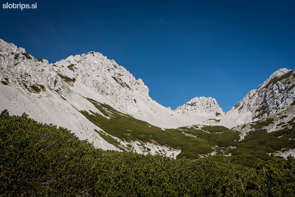
In the valley of "Suho ruševje" -
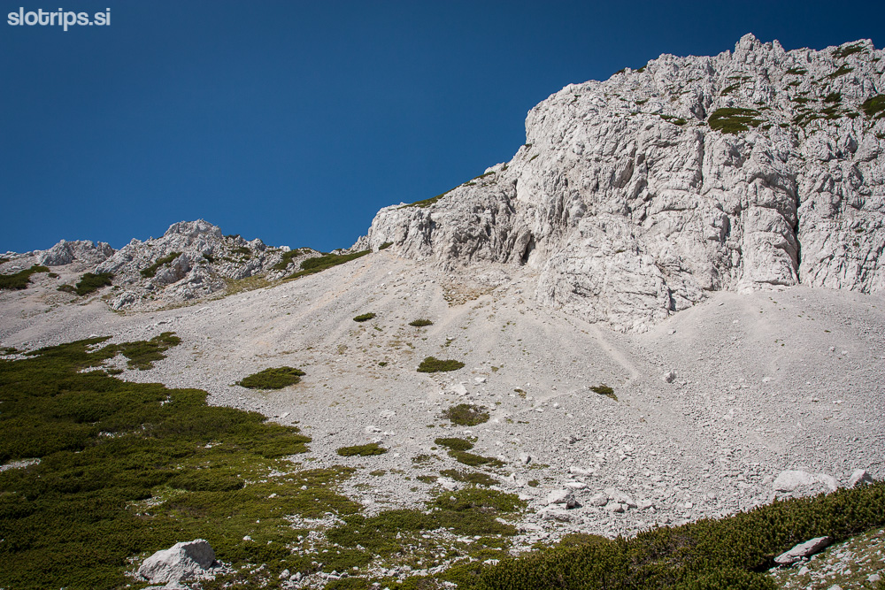
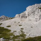
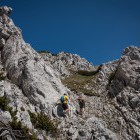
Here goes the difficult path across "Mala glava" -
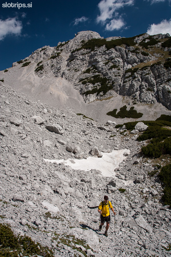
The difficult path to Vrtača across "Mala glava" -
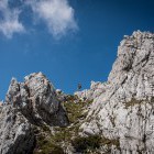
The difficult path to Vrtača across "Mala glava" -
The difficult path to Vrtača across "Mala glava" -
The difficult path to Vrtača across "Mala glava" -
The difficult path to Vrtača across "Mala glava" -
The difficult path to Vrtača across "Mala glava" -
The difficult path to Vrtača across "Mala glava" -
The difficult path to Vrtača across "Mala glava" -
The difficult path to Vrtača across "Mala glava" -
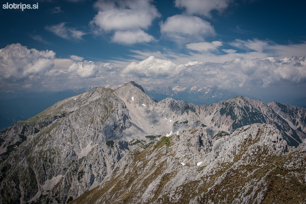
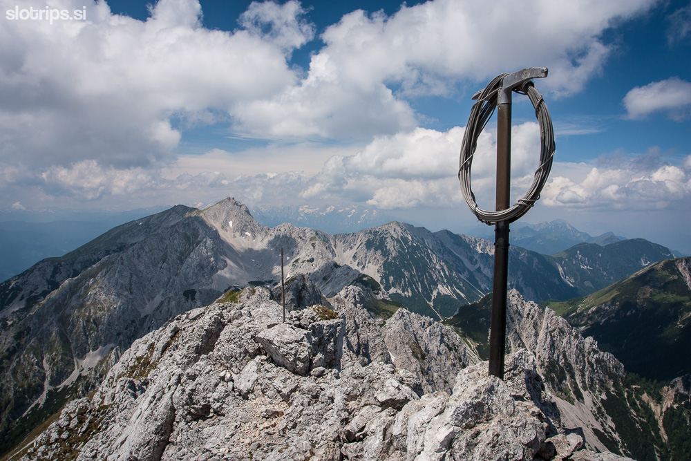
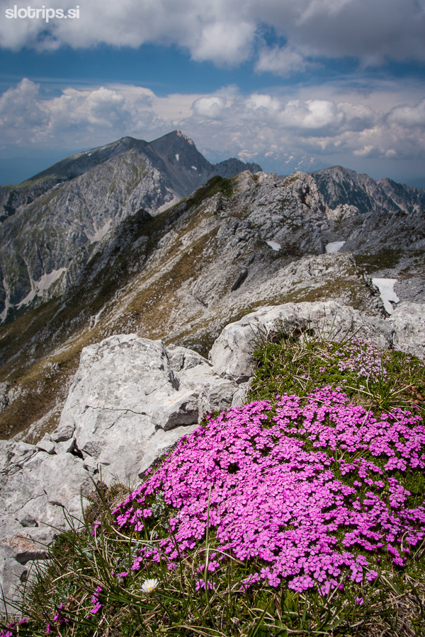
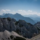
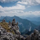
View towards Mt. Stol from the summit of Vrtača -
Two goats on the summit of Vrtača -
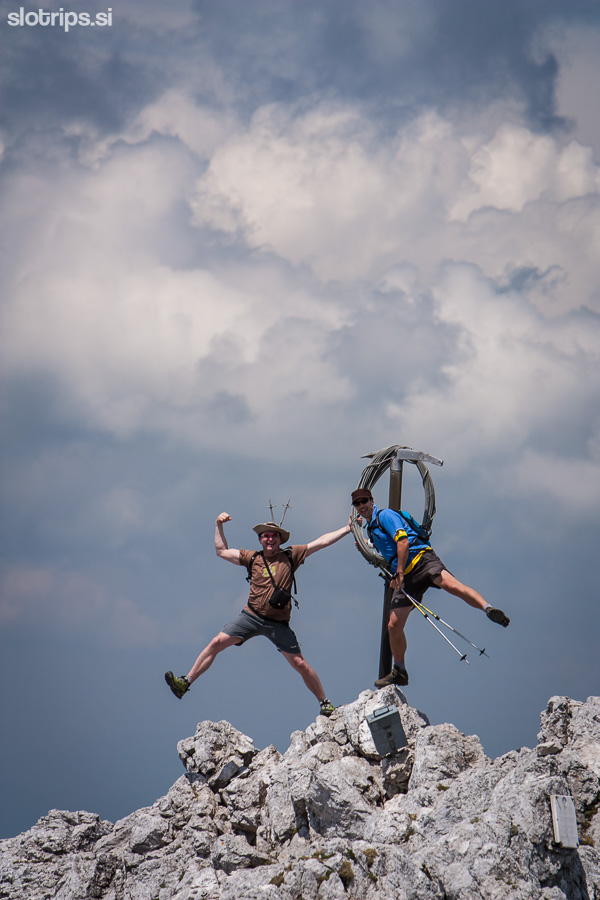
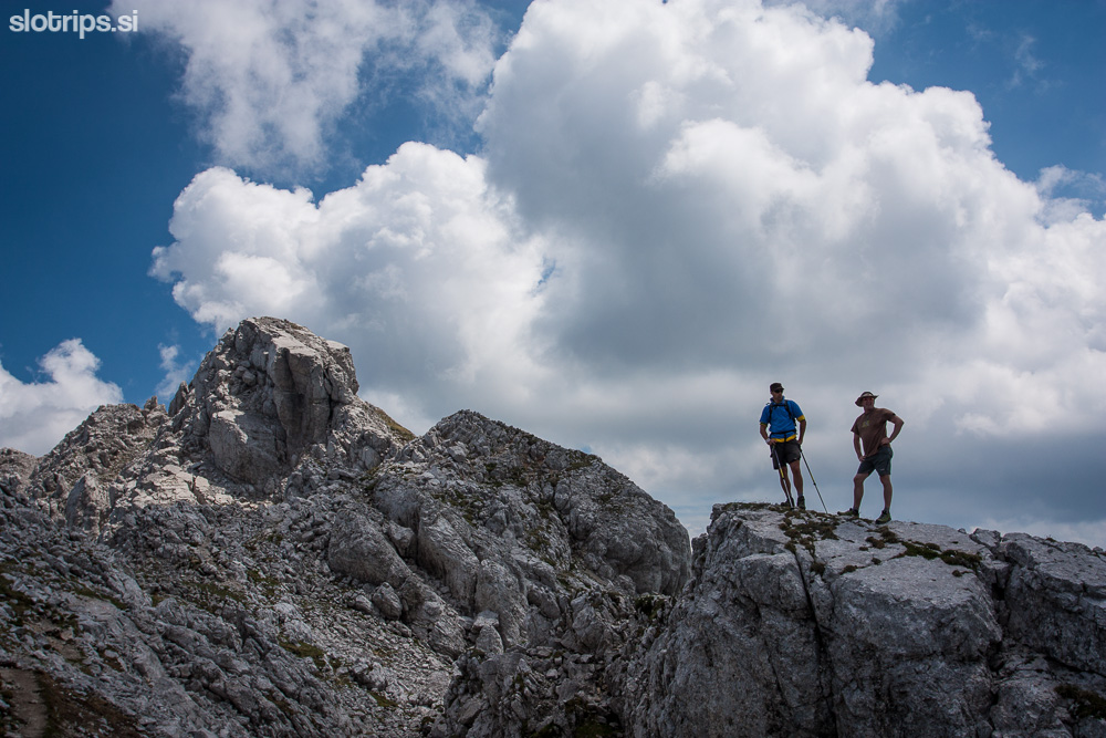
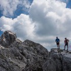
On the summit of Vrtača -
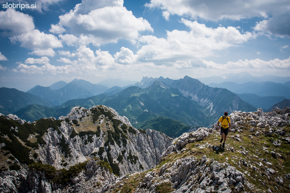
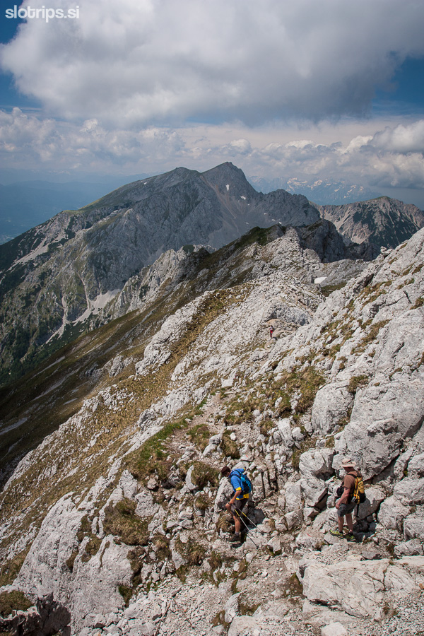
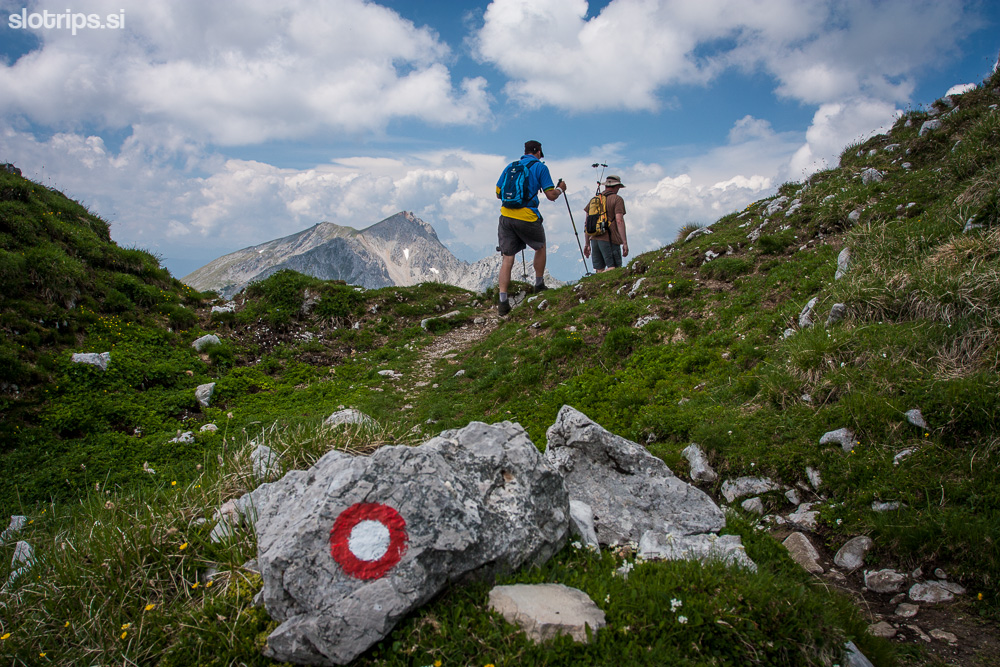
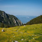
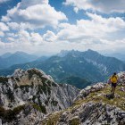
Descent from Vrtača along the marked path -
Descent from Vrtača along the marked path -
Descent from Vrtača along the marked path -
Descent from Vrtača along the marked path -
Descent from Vrtača along the marked path -
Descent from Vrtača along the marked path -
Descending back to the starting point