


| asphalt, dirt road, trail | ||
Starting point:
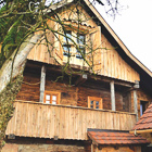
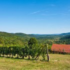
'Radenci ob Kolpi' village. The easiest way to get there from central Slovenia is through Kočevje: turn left towards Črnomelj or Vinica soon after Kočevje (in Livold village). After about 16 kilometers, turn right towards Stari Trg (in Brezovica village). Go straight through Stari Trg and a little bit after the village, you will spot a signpost to Kamp Kanu or Radenci that points to the right. The campsite is located right next to Kolpa river in the village of Srednji Radenci (see the signposts for the camp).
Description:
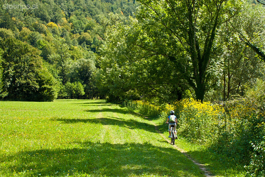
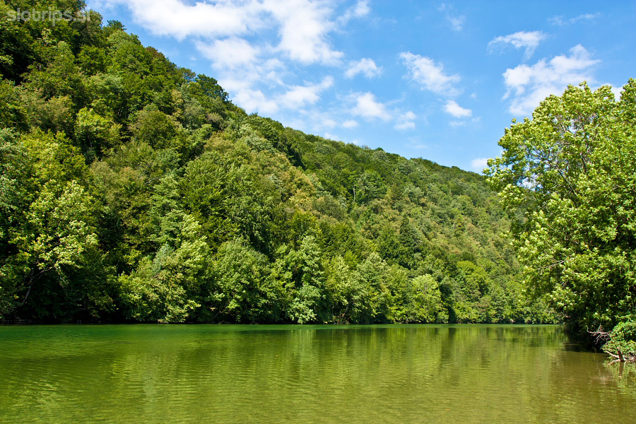
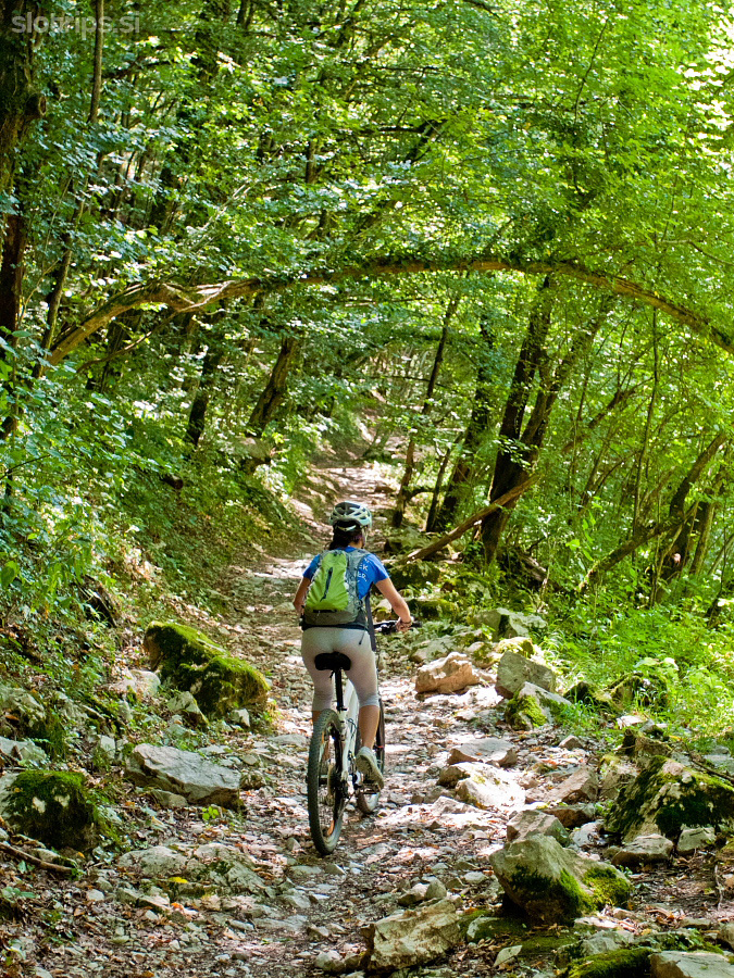
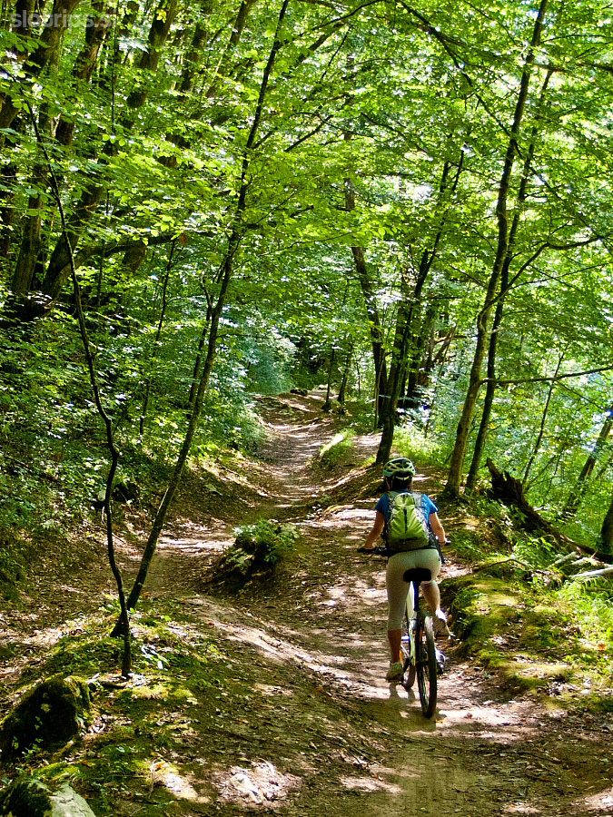
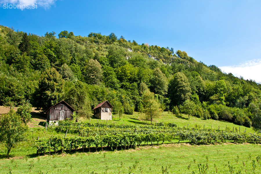
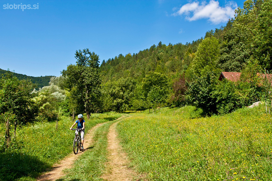
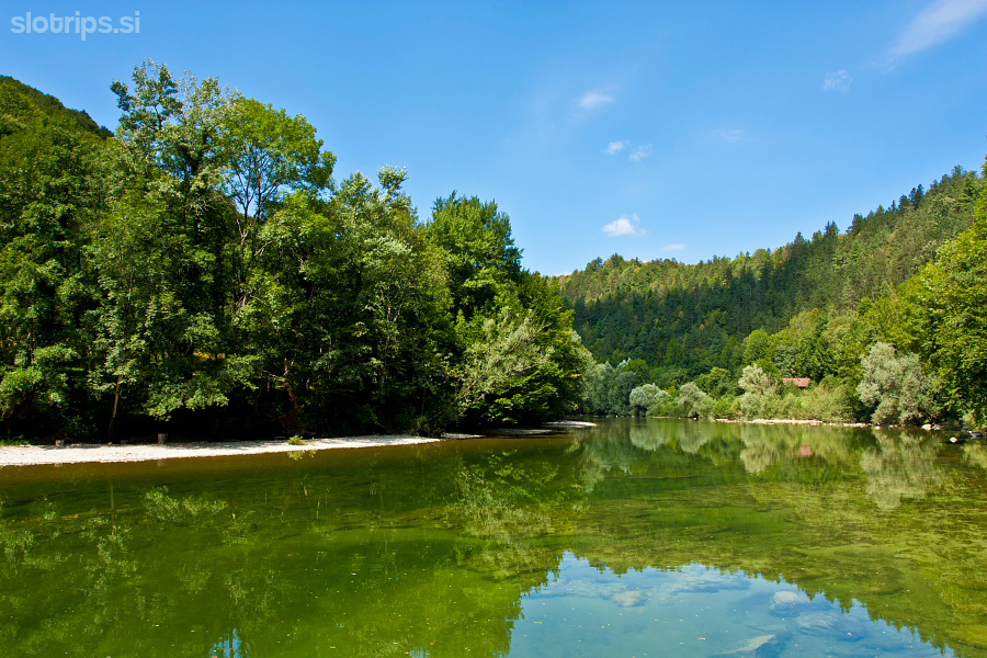
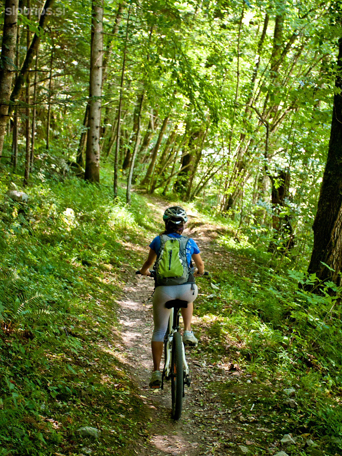
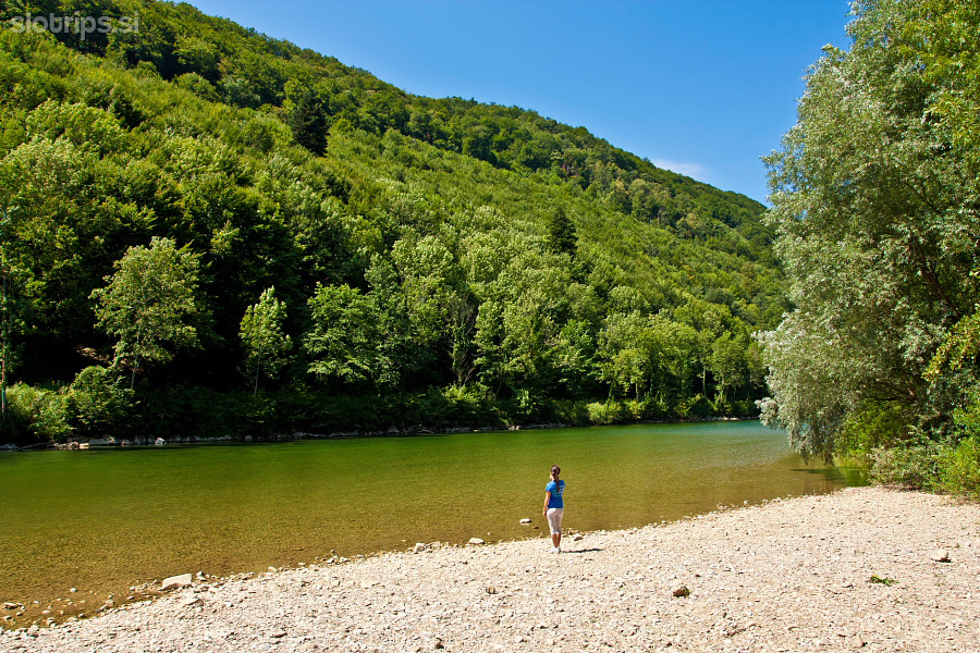
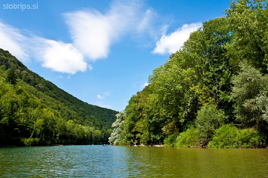
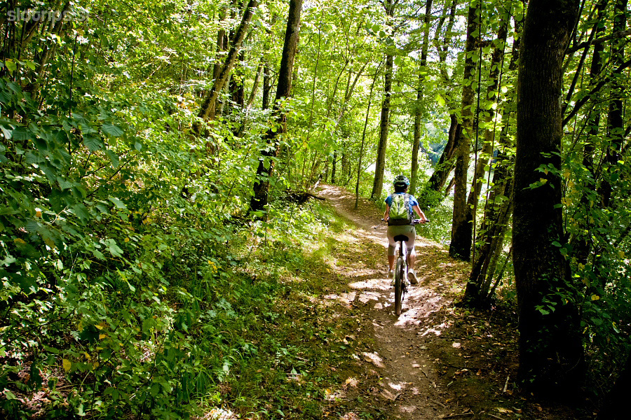
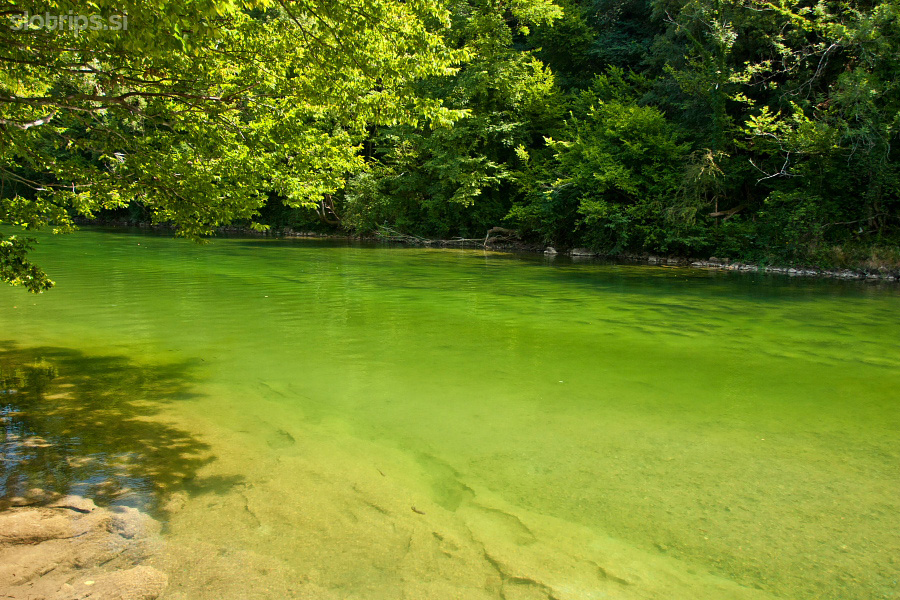
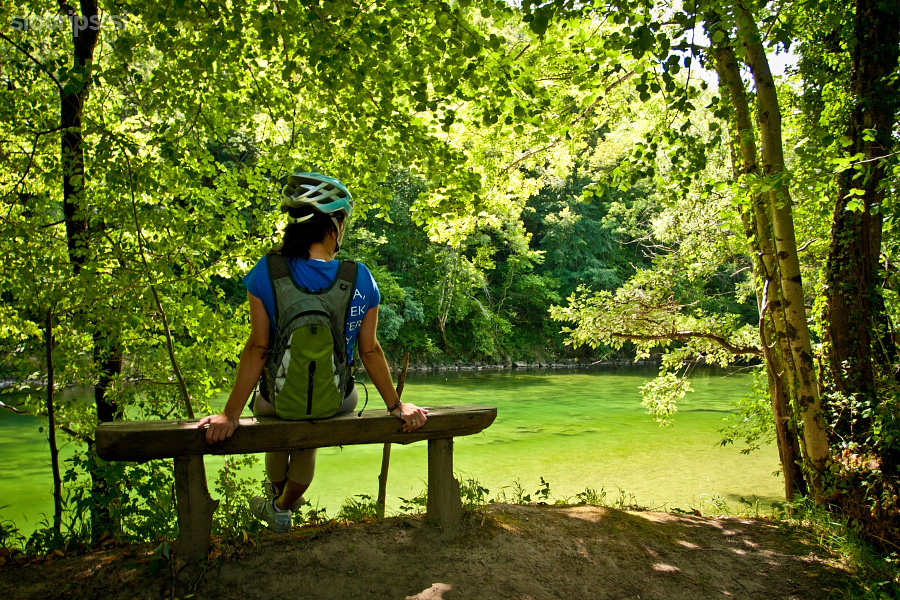
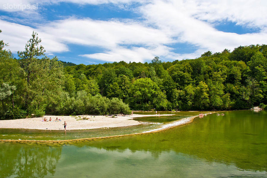
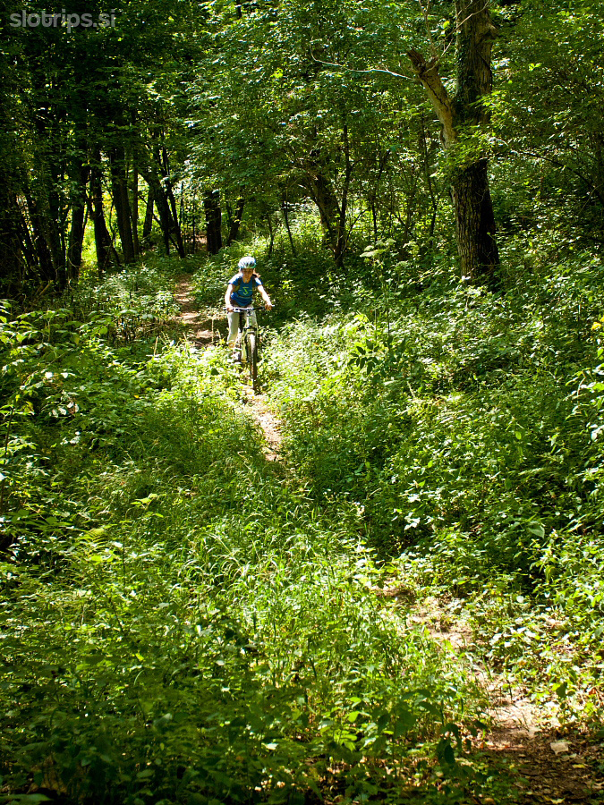
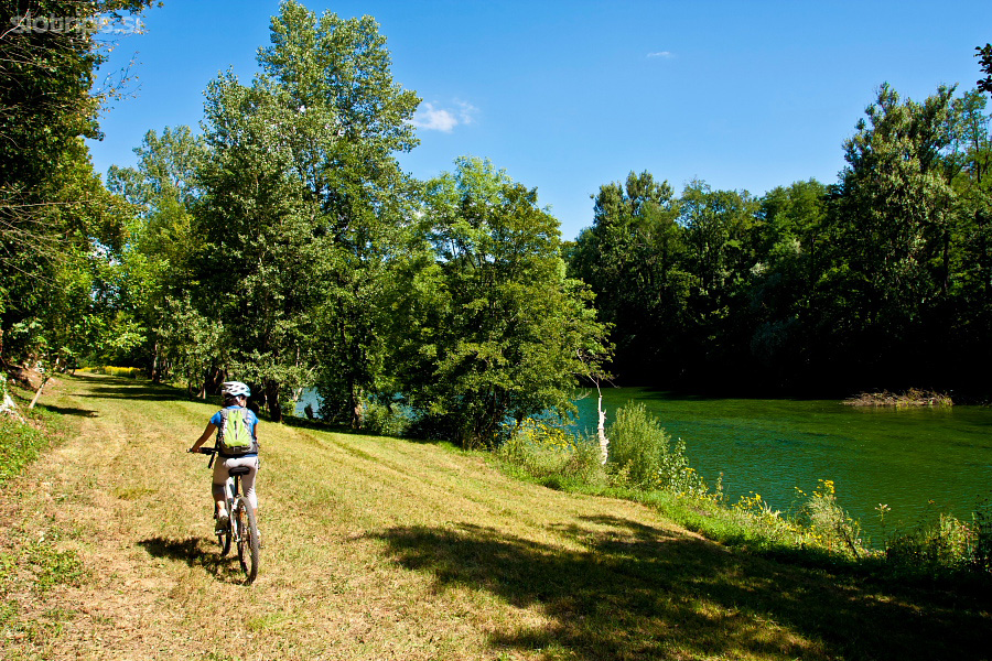
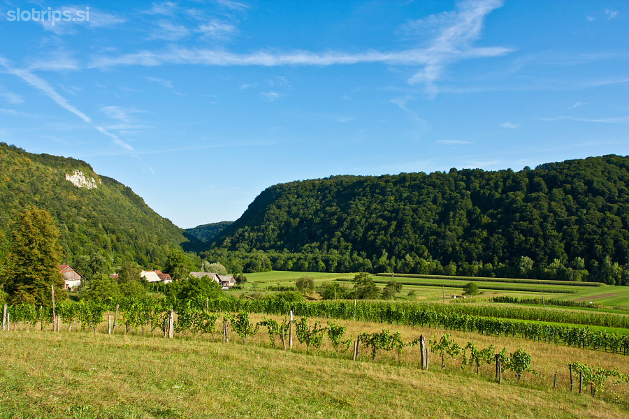
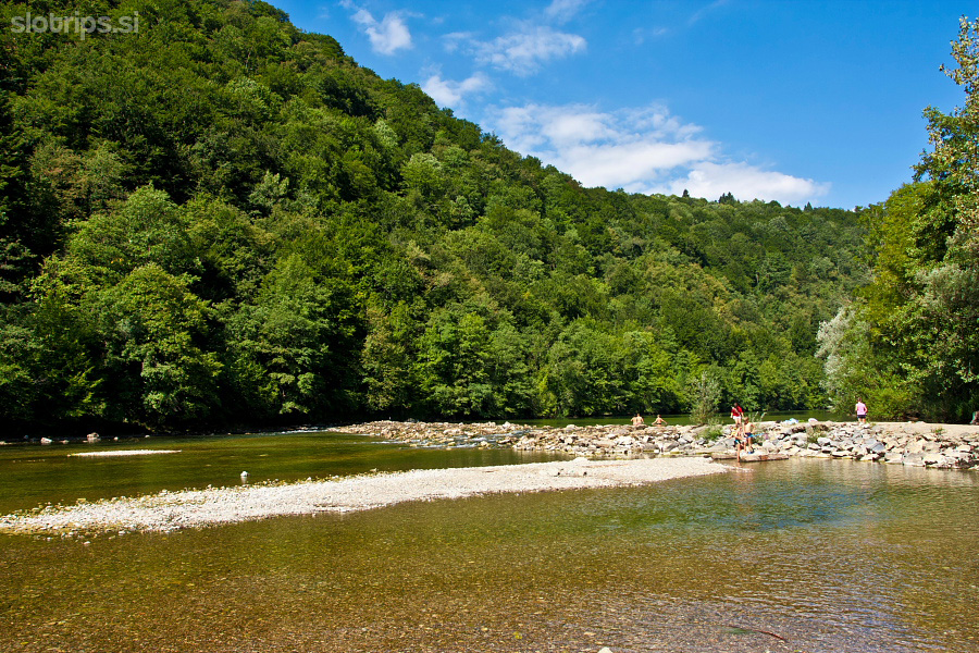
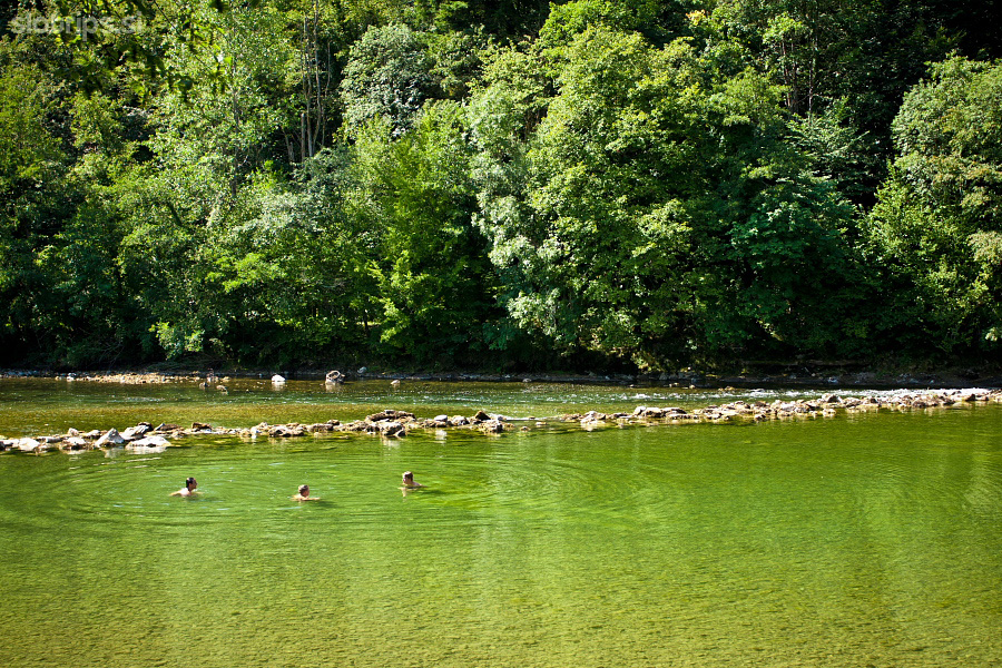
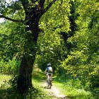
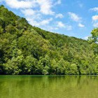
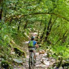
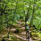
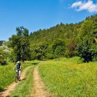
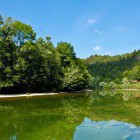
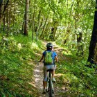
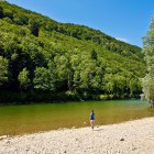
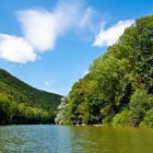
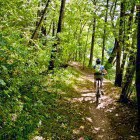
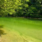
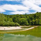
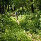
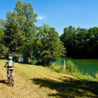
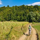
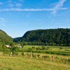
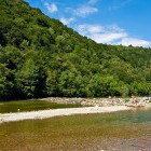
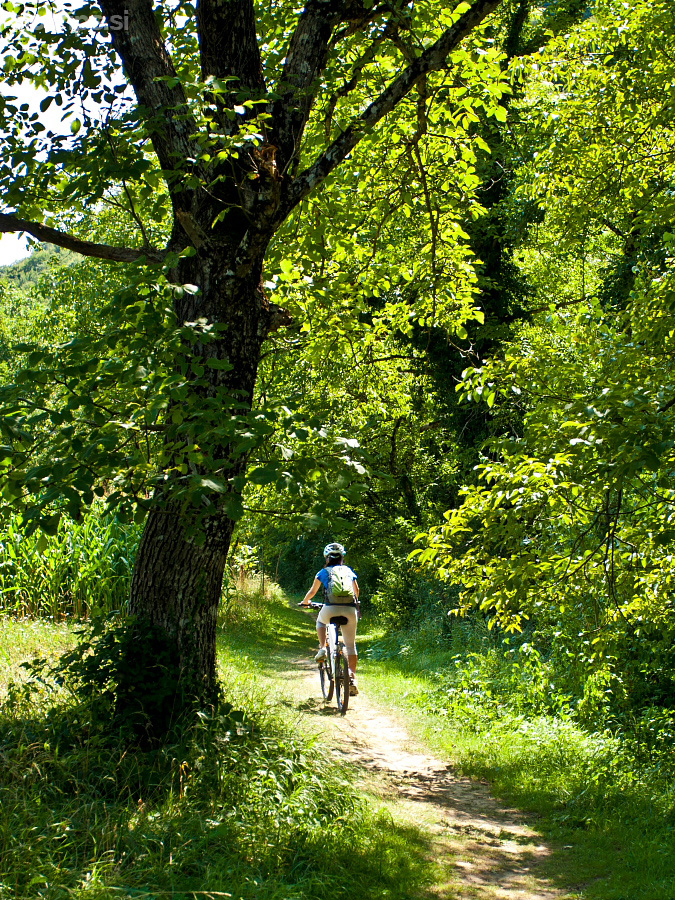
Go all the way to Kolpa river by the side of the Kanu campsite in Radenci and turn left downstream. The great ‘Radenci– Damelj’ footpath is marked with signs on wooden stakes and is suitable for hikers, cyclists (we recommend a mountain bike) or horse-back riders. This fantastic narrow path leads through the Kolpa canyon and past several spots that will tempt you to freshen up in the warm river on a summer day. On your way, you pass the water spring Trpotec (that will keep you forever young) and Kobiljača cave, which is only accessible under the guidance of cavers. You arrive to Damelj village past the southernmost point of Slovenia (Kot hamlet) and find a fabulous little campsite there as well.
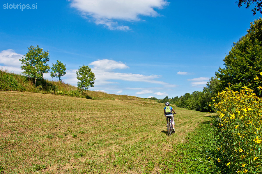
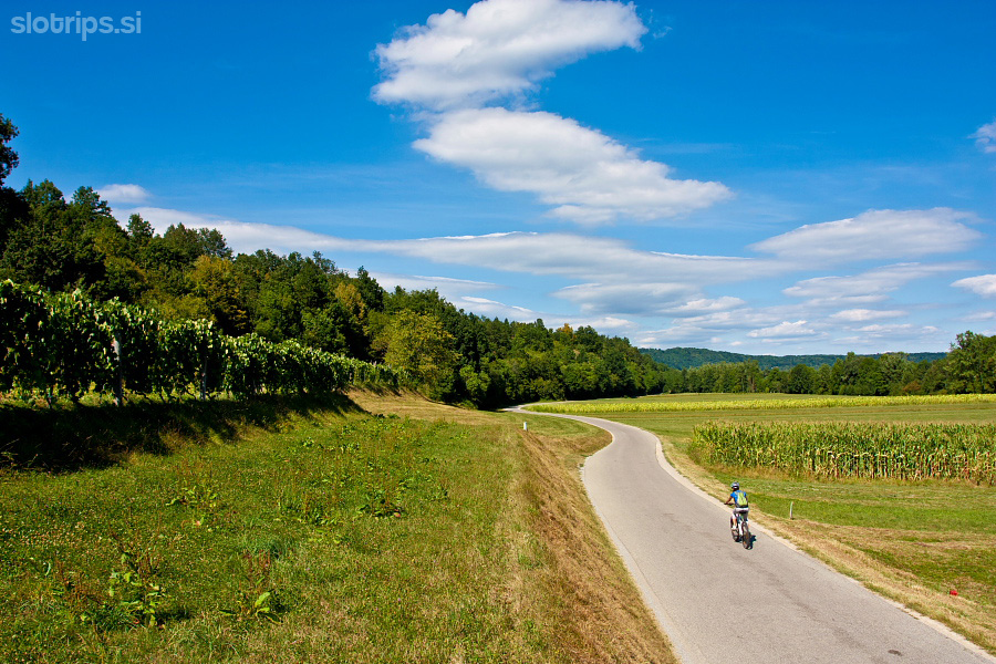
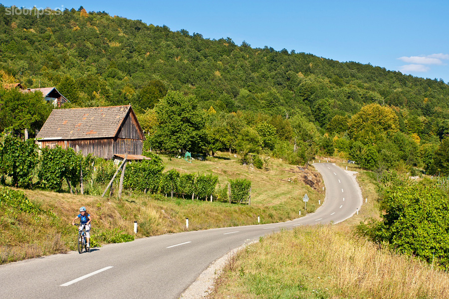
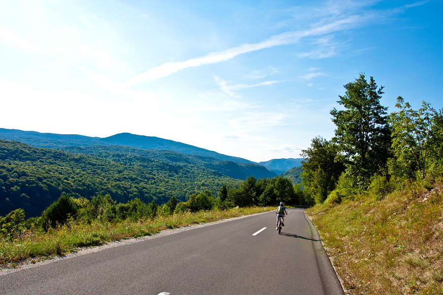
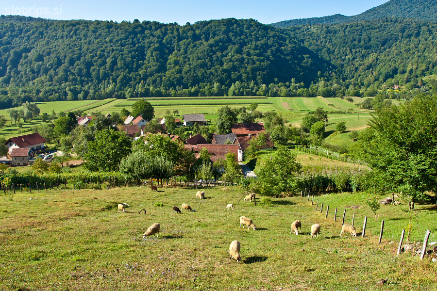
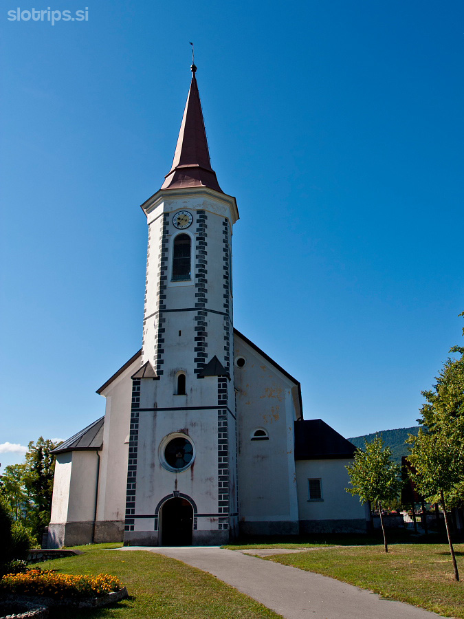
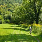
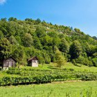
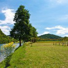
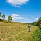
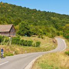
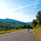
Ascend to the village from Damelj campsite, keep left and carry on past a church towards Suha Dolina valley. Continue through Draga village to the low-traffic asphalt road at Sinji Vrh village. Turn left there and return through panoramic villages back towards Radenci. Gravel replaces asphalt in the middle section and the road ascends quite steeply. Then you descend quickly to a marked crossroad (signposts) where you have two options:
A: Go left and only a short descent parts you from Radenci.
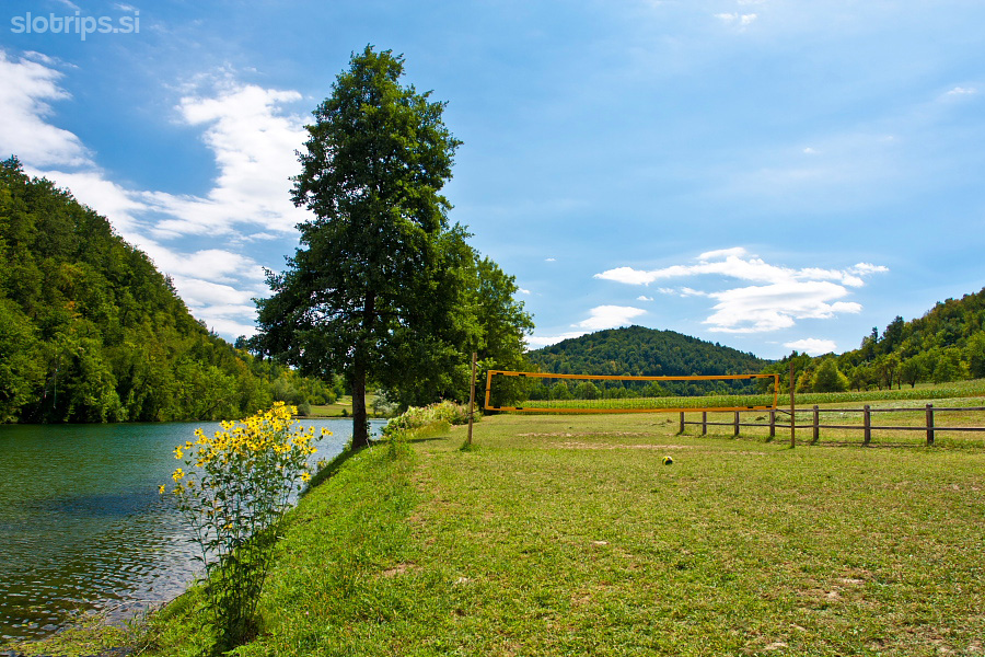
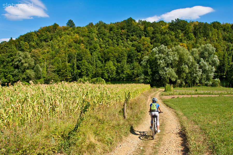
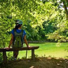
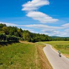
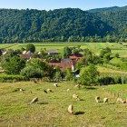
B:Go straight on to the interesting Stari Trg village. Turn left there towards the church (direction Dol or Fara) and go down to Kolpa. Once you merge with the road that runs along Kolpa, go right and you reach Madronič inn in a few hundred meters. Grab a tasty bite there. Then return back and simply follow the road on the left river bank. Before long, you arrive to the starting point at Kanu campsite.
Highest point:
A ‘pass’ near the summit of Velika stena: ca. 425 m
Length (duration, km):
Radenci ob Kolpi - Damelj (along the Kolpe river): 1.30 h (12.5 km)
Damelj - Radenci ob Kolpi (along the road above Kolpa): 1.30 h (15.5 km)
Total: 3 h, 28 km
Type of trail:
46% asphalt (13 km)
16% dirt road (4.6 km)
38% singletrail (10.4 km)
An additional detour:
Another footpath goes along Kolpa river from Damelj to Vinica – it is called ‘Mlinarska pot’. It is a bit more rough and difficult and it requires going on foot for a while. We recommend it to cyclers in good physical condition that are looking for a more demanding route. Apart from the first section, this path winds along the river as well.
Ascend to the village from Damelj campsite and keep right. Soon, you notice a description board for ‘Mlinarska pot’. Turn right and descend to the mill at Kolpa River on a rough narrow path. Go left there and then you have to ascend shortly on foot. Then, the path goes down to the river again and mostly runs across the meadows right next to it. The dirt roads are pretty rough and can be quite overgrown with grass. Follow the markings on wooden stakes and ascend to Učakovci village. Go from there to Vinica on an asphalt road. Turn left at a bridge (near border crossing), ascend into the village and turn left towards Stari Trg again. Stay on the asphalt road throughout and soon you merge with the above described route back to the starting point. If you include this detour, the trip is prolonged for about 2 hours or 18 kilometers.
Gallery
-
Start in "Radenci Ob Kolpi" village -

Start in "Radenci Ob Kolpi" village -
Kolpa river -
The southernmost path in Slovenia -
Great singletrail -
Along the Kolpa river -
Along the Kolpa river -
Kolpa river -
The path is suitable for mountainbike -
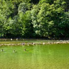
Bathing spot on Kolpa -
Kolpa river -
12 km long path near Kolpa river bank -
Kolpa river -
Kolpa river -
Kolpa near Damelj village -
Campsite near Damelj village -
The rough part of the trail towards Vinica -
Continuing towards Vinica -
Continuing towards Vinica -
Continuing towards Vinica -
Continuing towards Vinica -
V return back along a panoramic asphalt road -
The view -
Above Kolpa -
Above Kolpa -
Above Kolpa -
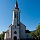
Church in the village of Stari Trg -
Kolpa river -
Kolpa river