


| asphalt, dirt road, trail | ||
Starting point:
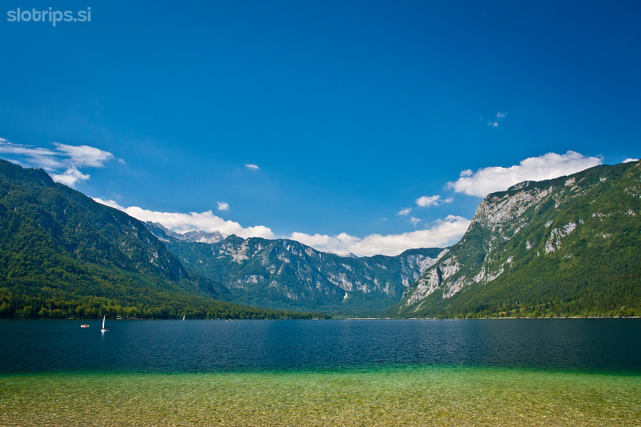
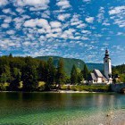
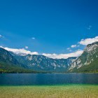
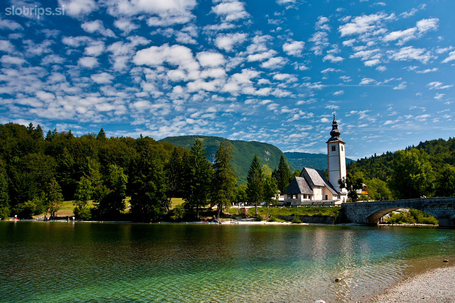
Ribčev Laz at Lake Bohinj
Description:
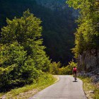
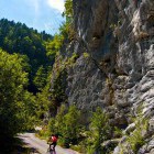
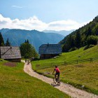
Head towards Stara Fužina from the bridge at St. John’s church in Ribčev Laz village. You can either go along the main road or follow the shore of Lake Bohinj. If you follow the shore, go straight through the forest and then to the end of the meadows where a dirt road splits to the right towards Stara Fužina. Keep left in the village and follow the signposts for Vogar or Voje. The asphalt road ascends slightly and leads you past panoramic meadows to the north. Before long the road flattens out and takes you into the shade of a forest. Go left at the first crossroad and then simply proceed along the road that starts to ascend a bit more 'seriously'. After about an hour you reach the next crossroad – Blato meadow is to the right and Vogar to the left. I suggest that you visit Blato first - it only take a few minutes to get there.
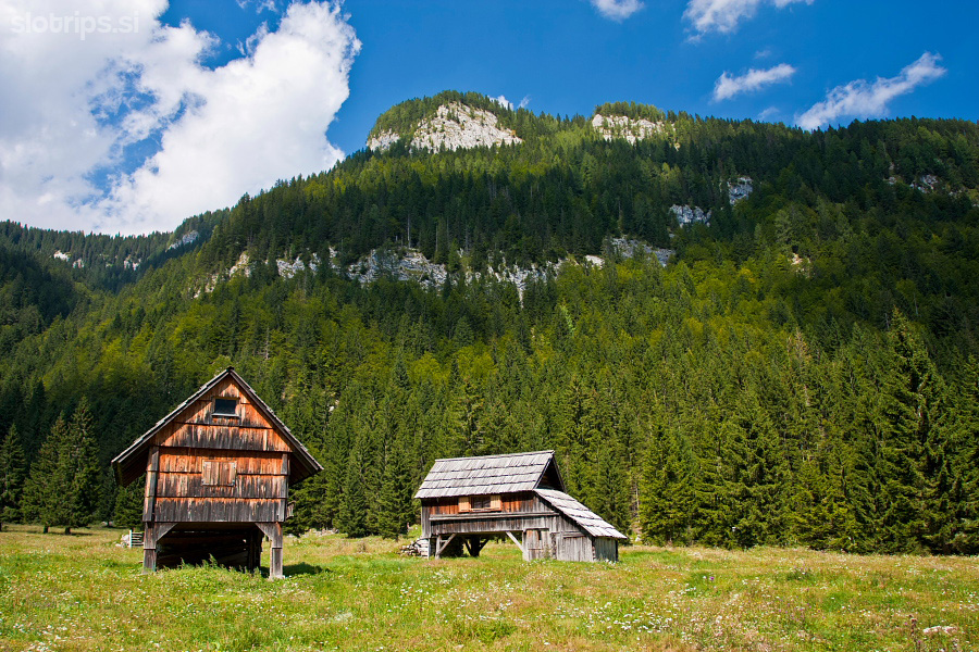
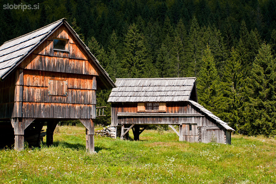
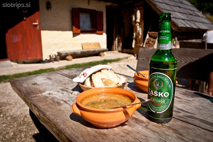
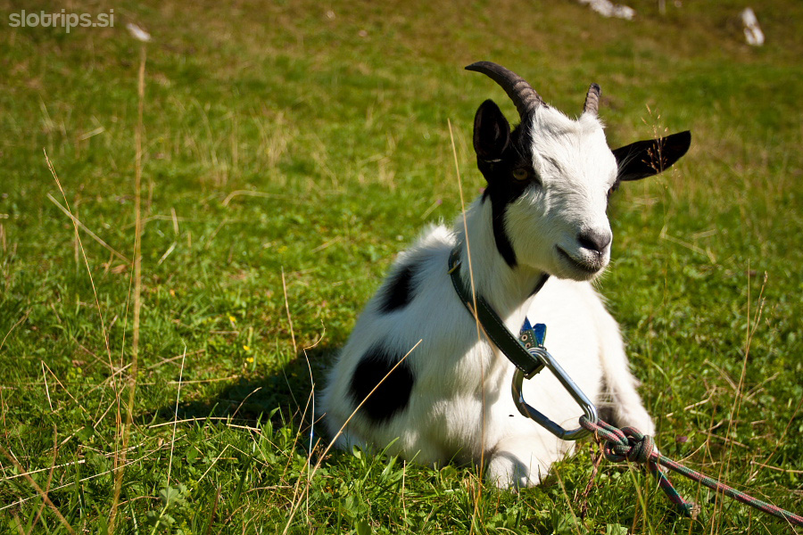
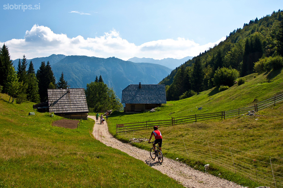
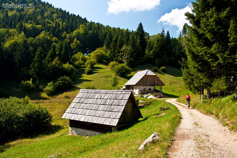
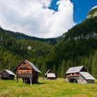
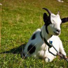
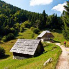
The round Blato meadow is surrounded with steep slopes from all sides and has quite a few herdsmen cottages that were mostly transformed into pretty private holiday  homes. This is a great place for resting in the grass and admiring the Bohinj architectural heritage. Return from Blato meadow along the same road to the last crossroad and just keep ascending straight on towards Vogar alpine meadow. You reach the parking lot in front of the meadow, turn left and descend towards Dolenc homestead, for a delicious home-made meal.
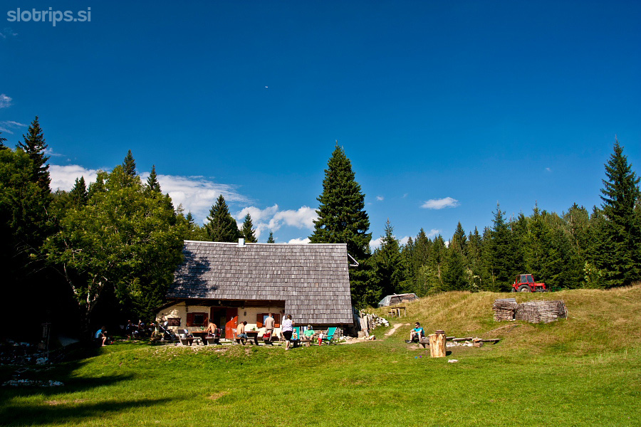
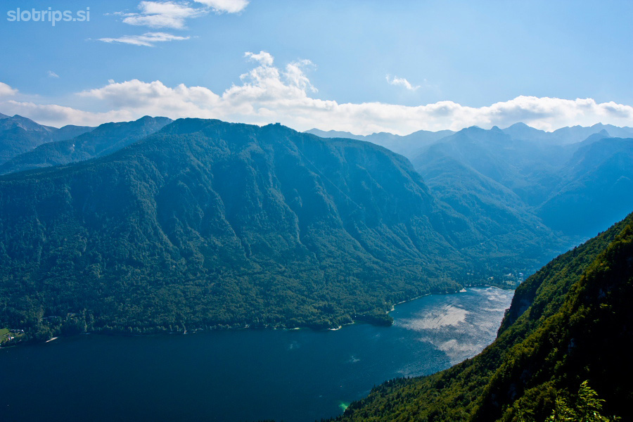
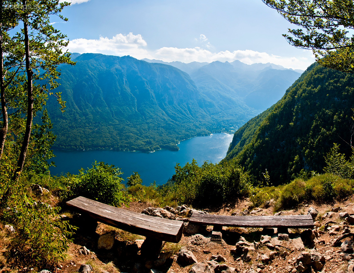
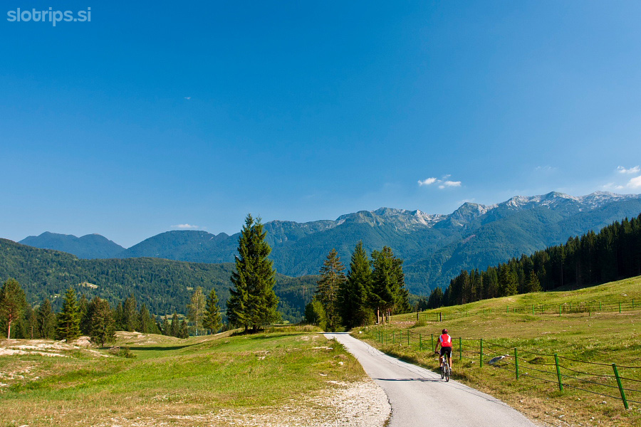
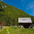
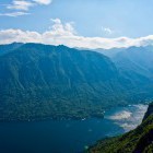
Vogar alpine meadow is somewhat 'stretched-out' and I suggest you ride (or walk) from Dolenc homestead a little further on towards Kosi mountain hut. Just behind it, a narrow path turns to the right and takes you to a beautiful viewpoint on Lake Bohinj. Fantastic!
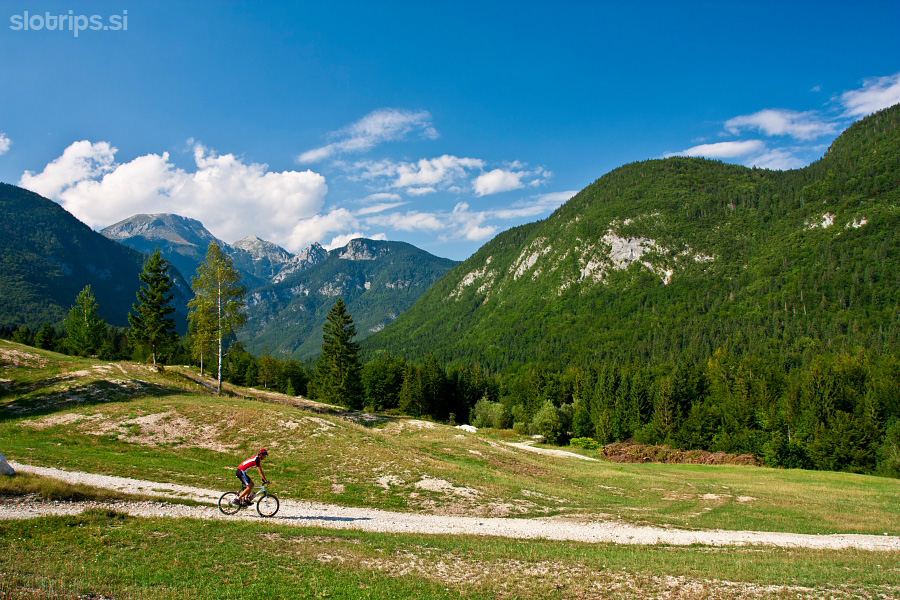
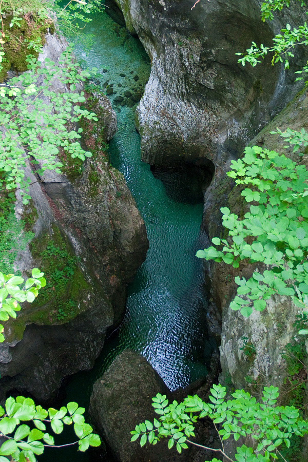
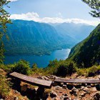
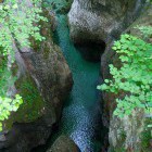
Return back to the valley down the path of ascent and turn left onto a dirt road at the meadows in the lower section. The dirt road leads you to the Devil’s bridge above Mostnica gorge. You can stop and visit the gorge or simply cross the bridge and continue to Stara Fužina (where you can visit the museum of alpine dairy farming) and return to the starting point along the main road.
Highest point:
Blato alpine meadow: 1150 m
Length (duration, km):
Ribčev Laz - Blato meadow: 1.15 h (11 km)
Blato meadow - Vogar meadow: 15 min (3 km)
Vogar meadow - Ribčev Laz: 30 min (11 km)
Total: 2 h, 25 km
Type of trail:
54% asphalt (13.5 km)
46% dirt road (11.5 km)
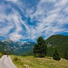
Hike and bike option: Turn right at the parking lot before Vogar alpine meadow and follow the gently sloping dirt road all the way to its end. Leave the bikes there and proceed on foot to the beautiful view point above Lake Bohinj – Pršivec. I recommend a circular route: end of the road – Pršivec – Viševnik alpine meadow – end of the road (around 2.5 hours all together).
Gallery
-
Ribčev Laz at Lake Bohinj -

Lake Bohinj -
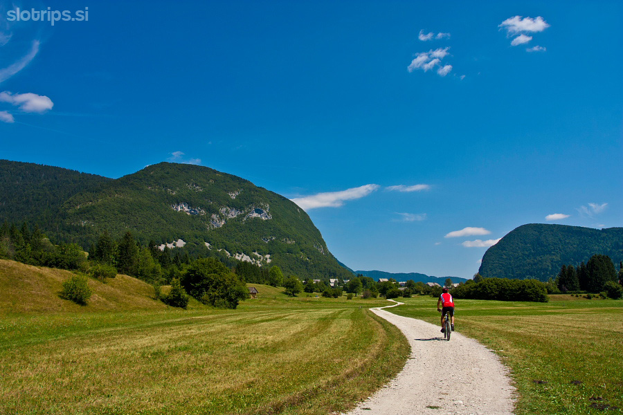
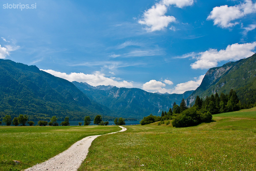
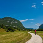
From Lake Bohinj towards Stara Fužina -
From Lake Bohinj towards Stara Fužina -
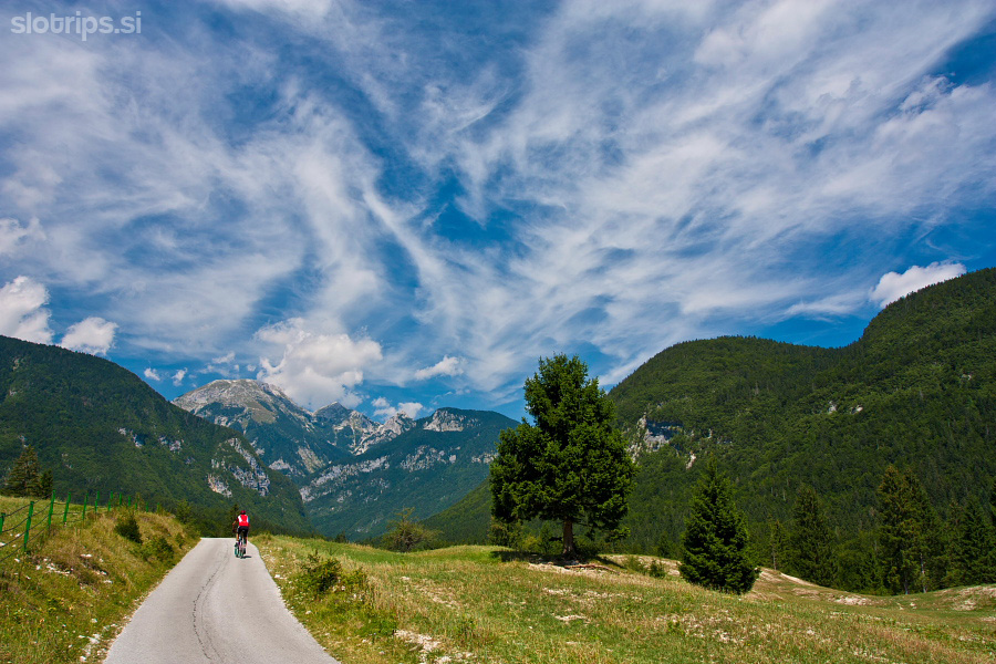
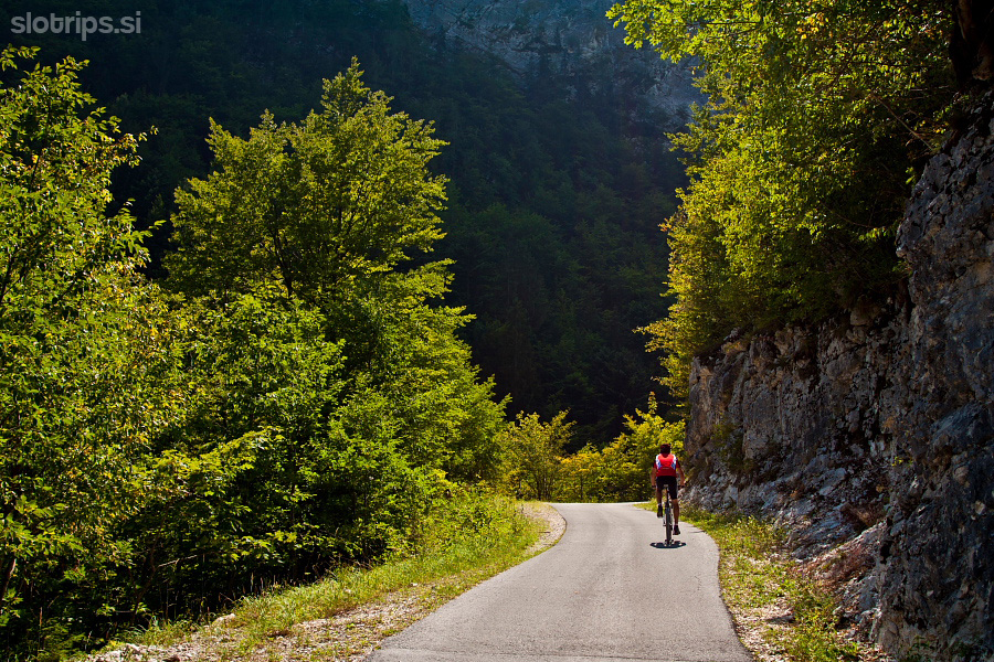
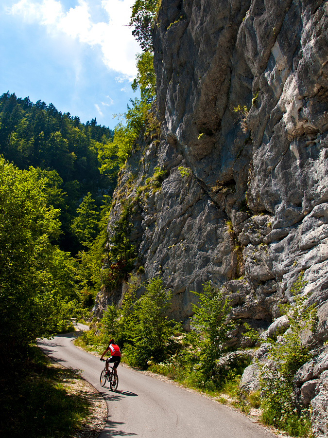
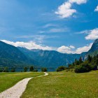
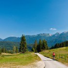
Start of the ascent towards Vogar and Blato meadows -
Ascent towards Vogar and Blato meadows -
Ascent towards Vogar and Blato meadows -
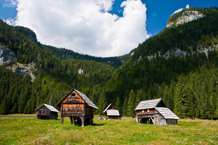
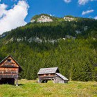
Blato alpine meadow above Bohinj -
Blato alpine meadow above Bohinj -
Blato alpine meadow above Bohinj -
Blato alpine meadow above Bohinj -
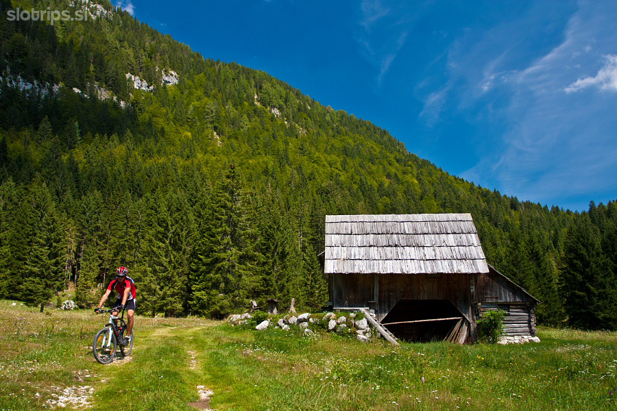
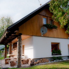
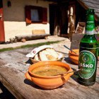
Home-made food at Dolenc homestead on Vogar meadow -
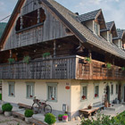
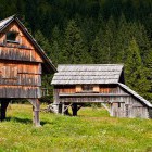
Dolenc homestead on Vogar meadow -
Dolenc homestead on Vogar meadow -
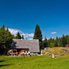
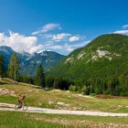
Vogar meadow above Bohinj -
View from Vogar meadow above Bohinj -
View from Vogar meadow above Bohinj -
Vogar meadow above Bohinj -
Descent back to the valley -
Descent to the Devils bridge -
Mostnica gorge from the Devils bridge