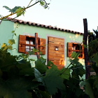


Starting point:
On the main road through Ilirska Bistrica pay attention to a not very obvious signpost to Sviščaki, which directs you to the left (if you are coming from direction of Postojna). Simply follow the main road and signposts to Sviščaki for about 20 km. Park on a large parking lot by a crossroad of roads to Snežnik and Mašun.
Option 2: You can also come to Sviščaki from Loška Dolina. Follow signposts for Mašun from Castle Snežnik, until you spot a signpost to Sviščaki (see also description 'Snežnik - from Gašperjev Hrib').
You will be impressed by the vast forests already on the loooong approach to the starting point...
Description:
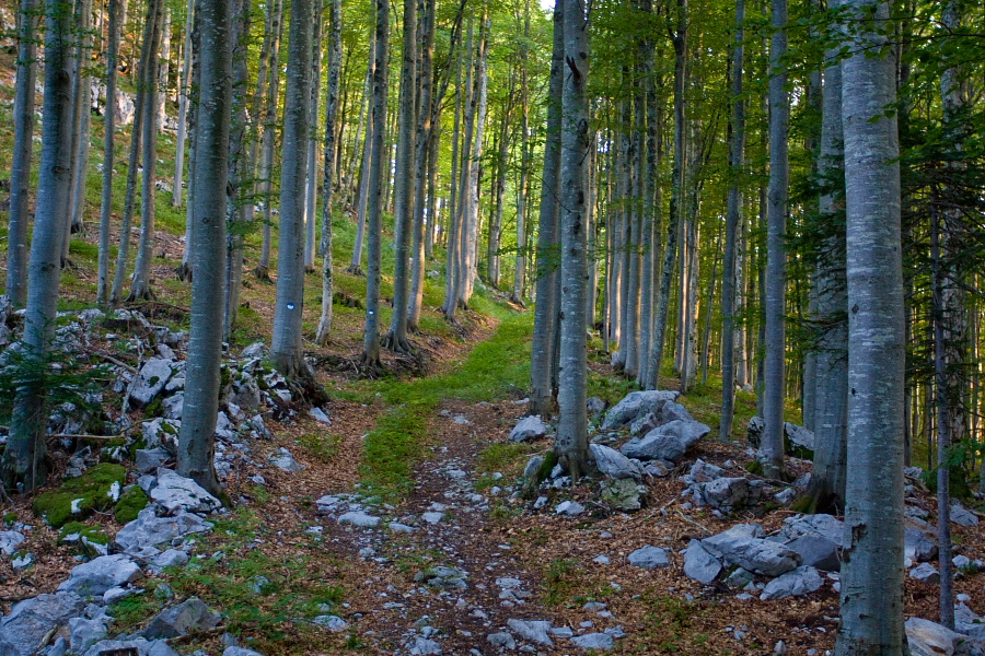
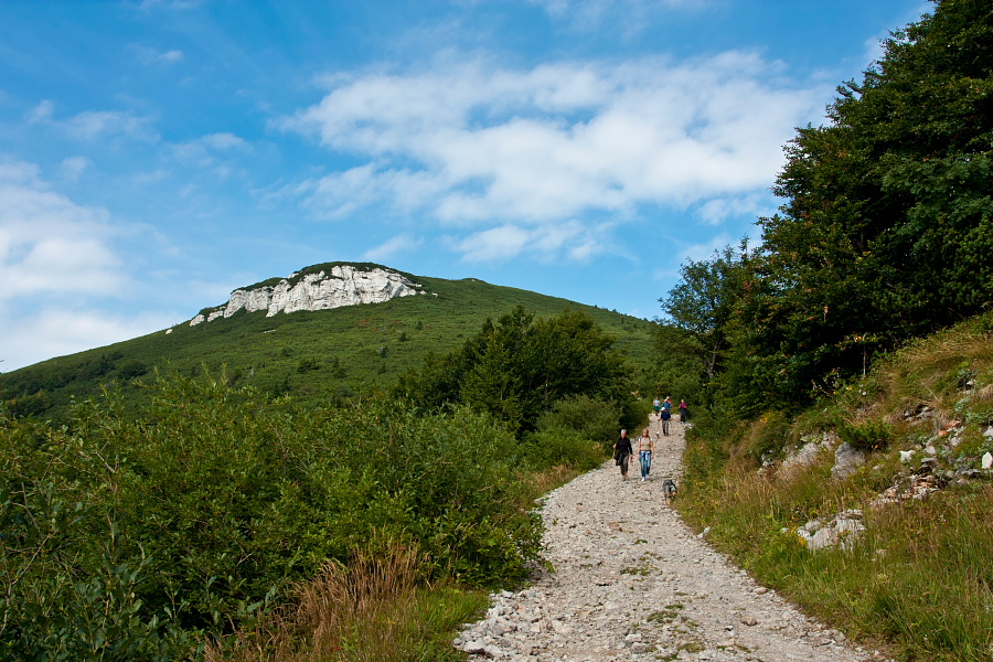
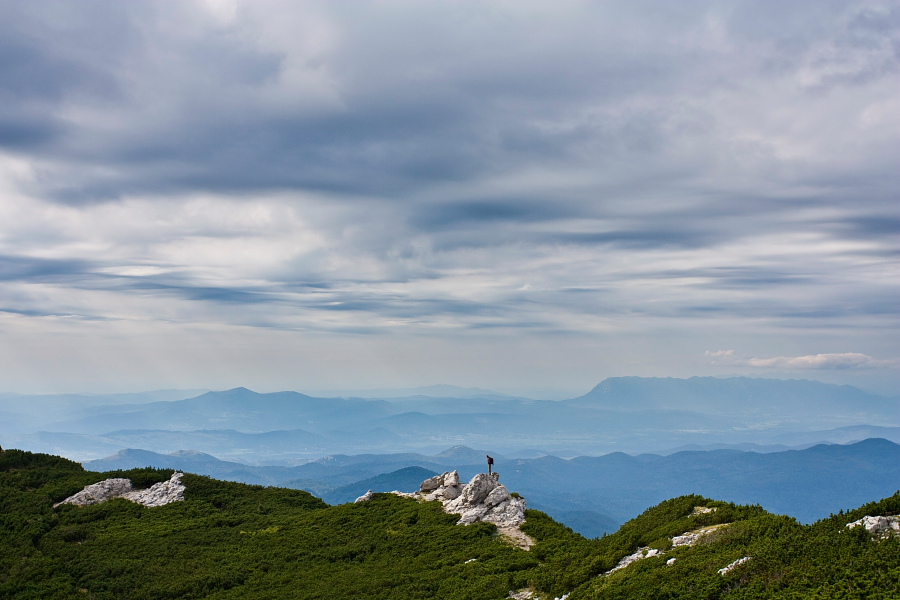
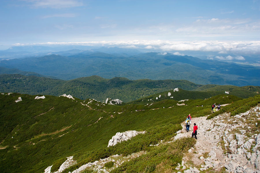
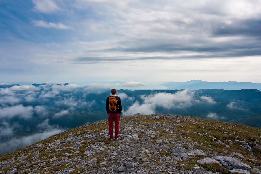
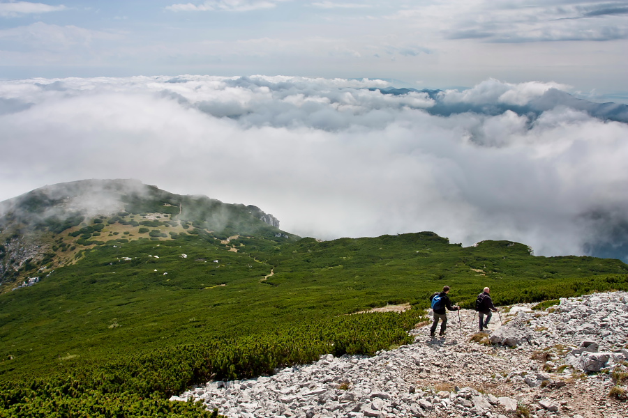
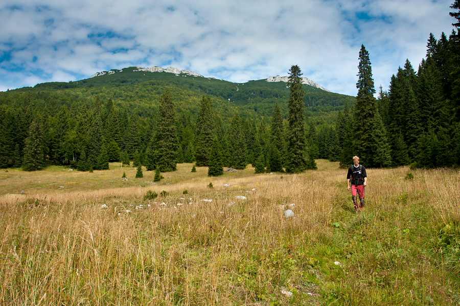
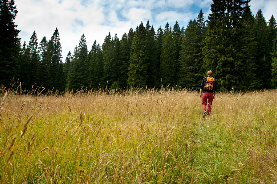
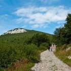
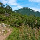
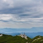
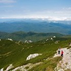
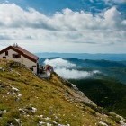
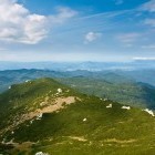
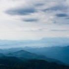
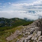
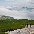
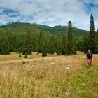
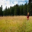
From the mountain hut on Sviščaki cross a meadow in the direction of a signpost to Snežnik. Walk past the holiday houses and follow the markings. Higher up you merge with a road for a short while and turn right onto a forest path at a small chapel. Cross the road twice more in a moderate ascent through a gorgeous forest, until you come to the spot where it is only possible to proceed on foot. The forest ends and you start walking amidst dwarf pines. Soon you will spot a hut just below the summit of Veliki Snežnik in the distance. The view towards Slovene and Croatian coast is getting more and more beautiful, but the view from the top in nice weather is just stunning. Snežnik is often extremely windy, so bring proper clothes.
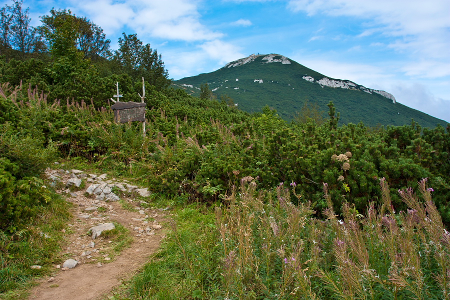
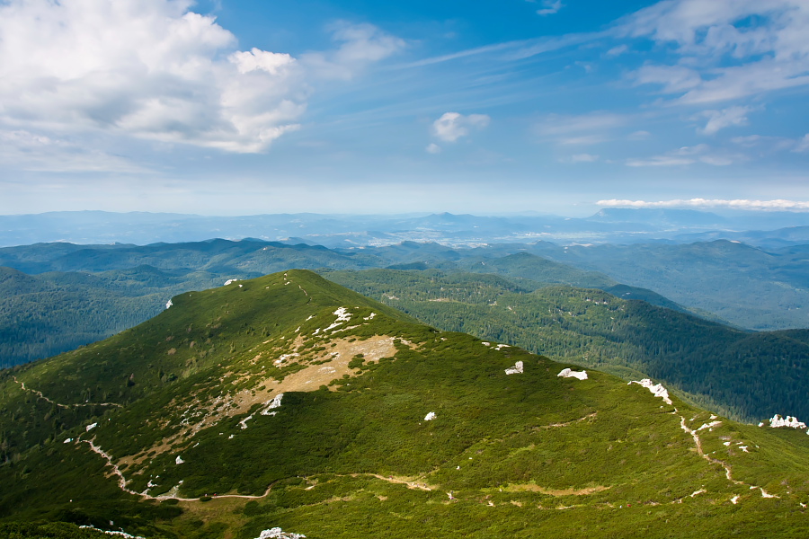
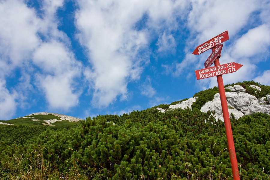
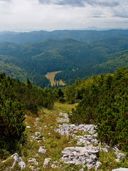
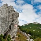
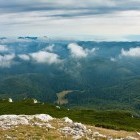
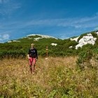
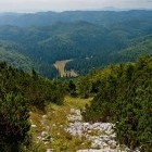
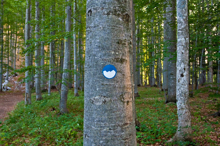
If you wish to make this trip circular, you can return to Sviščaki along lonesome forest paths past Grčovec meadow. Do not expect any particular view, however you will enjoy the undisturbed rustle of tree tops and bird singing - and hopefully no bear roaring. Descend southwards (direction Gašperjev Hrib) from the summit past a huge 'karst shaft' just below the summit (be careful!!!). You will come to a crossroad through dwarf pines and follow a hiking signpost towards Grčovec meadow. A steep descent through some sort of a ravine follows and you go towards a meadow, which you can already see below you - it is called Grčovec. The markings disappear on Grčovec. Cross the meadow on a visible footpath and walk along the right side of the meadow past a hunting observatory to the dirt roads at the end. Continue on the right cart road into the forest and reach the next meadow in a gentle ascent. In front of the meadow a wide dirt road is coming from your left and it ends here. Look for a forest path (poorly visible at first), which leads by the right edge of the meadow and continue ascending. The forest is scattered with tractor roads here. Keep left on the next three crossroads and go right at the fourth one (when the left tractor road turns steeply downwards). After a brief descent you come to a dirt road, turn right and after about 10 m turn sharply left back onto a forest path. Ascend slightly, go right at the first crossroad of forest paths and descend on a somewhat steeper path to the small chapel, which you passed already during the ascent. You can return to Sviščaki from the chapel on a delightful path past a Snežnik viewpoint. This path is nicely marked with blue-white markings and takes you back to the starting point in a gentle descent.
Snežnik area is a land of bears, wolfs and lynxes. Actually it is quite difficult to come across them, but keep in mind to act calm if you happen to cross their way.
Highest point/summit:
Veliki Snežnik: 1796 m
Duration:
Sviščaki - Veliki Snežnik: 2 h
Veliki Snežnik - Sviščaki (past Grčovec meadow): 2 h
Total: 4 h
Difficulty:
1 - The whole route is technically easy. More skills and caution is needed on the steep descent towards Grčovec (in case we decide for the circular route). Orientation on the described descent is also a bit difficult.
Type of path:
Marked path - Only the route of ascent is marked! The path from Grčovec meadow to Sviščaki in the described descent runs on lonesome unmarked tractor roads.
Gallery

-
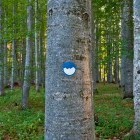
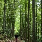
In the forest above Sviščaki village -

In the forest above Sviščaki village -
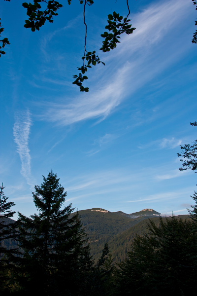
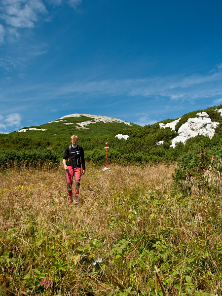
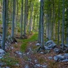
First viewpoint towards Snežnik -
On the way to Snežnik -
On the way to Snežnik -
Upper part of the ascent on Snežnik -
Towards the summit of Snežnik -
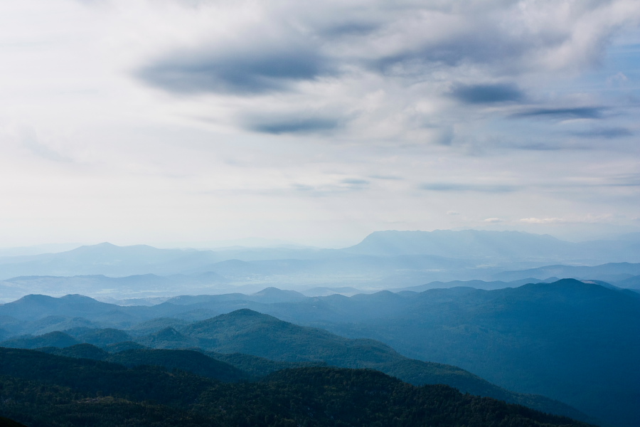
View back towards Mali Snežnik -
Just below the summit of Snežnik -
Drago Karolin hut below the summit of Veliki Snežnik -
Mali Snežnik and our path of ascent -
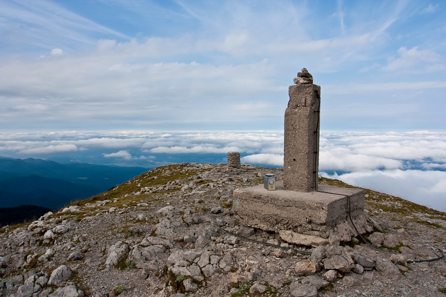
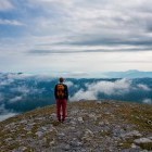
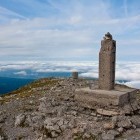
On the summit of Veliki Snežnik -
On the summit of Veliki Snežnik -
View towards Nanos from Snežnik -
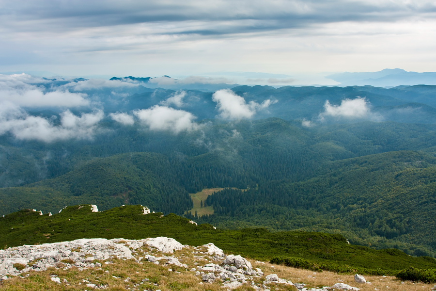
"Grčovec" meadow below us - we are headed there! -
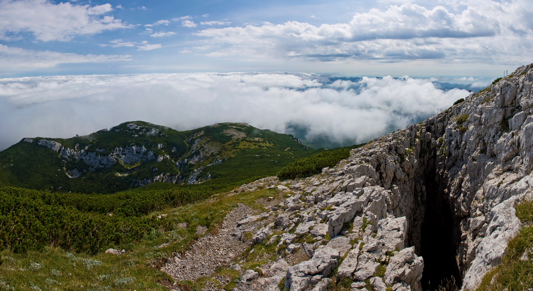
Abyss just below the summit of Veliki Snežnik -
Descent from Snežnik to the other side -
"Crossroad" where we go towards "Grčovec" -
Going towards "Grčovec" meadow below Snežnik -
Snežnik - steep descent to the meadow below us -
"Grčovec" meadow below Snežnik -
"Grčovec" meadow below Snežnik