


Starting point:
Vrata Valley. On the main road 'Jesenice – Kranjska Gora' a signpost guides you to the left towards Mojstrana. Follow the signposts for Vrata and carry on from Mojstrana for about 10 km to a large parking lot in front of 'Aljažev Dom' hut at the end of the road.
Description:
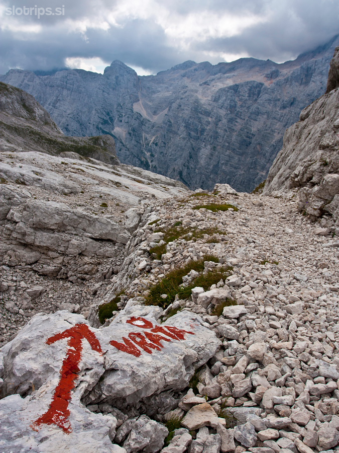
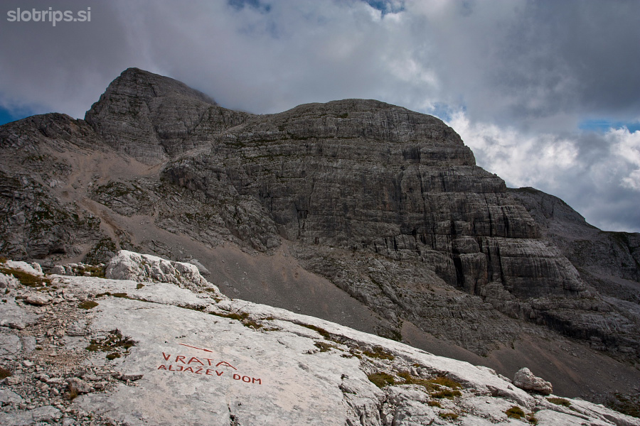
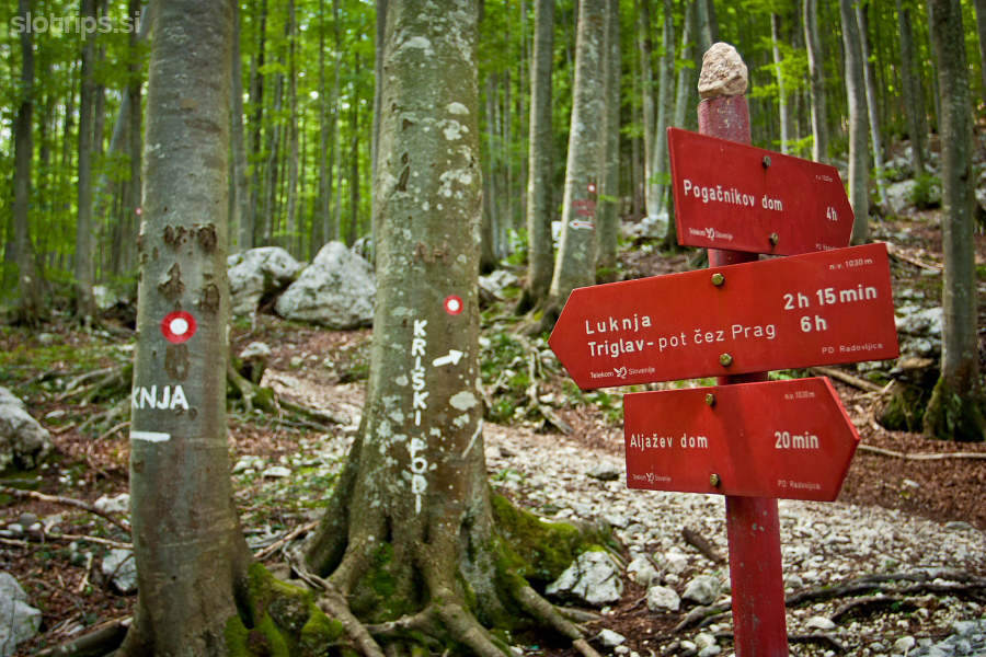
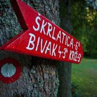
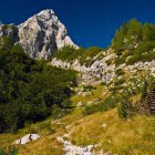
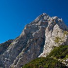
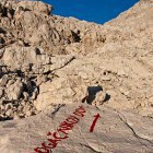
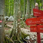
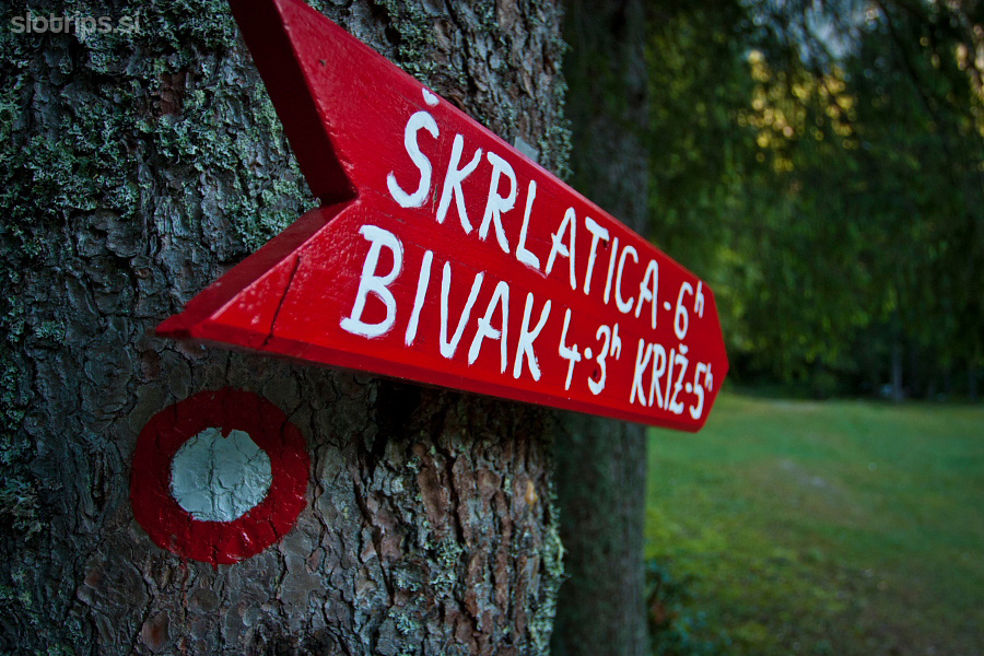
Continue on the road to ‘Aljažev Dom’ hut from the parking lot. You will spot signposts for škrlatica and Križ a little bit before the hut on the right side at the end of a meadow. The path leads you into a forest and starts to ascend gradually. Simply follow the markings, which, a little bit higher, lead you to a ‘valley’ between Dolkova Glava and Stenar. A small gravel valley opens behind Stenar and leads towards Stenarska Vratca. If you wish to skip the Križ summit, you can go straight on here and ascend to Stenarska Vratca saddle across a scree-slope. Otherwise, pay attention to the signposts. The path towards Križ turns right here and starts to ascend steeper towards Dolkova špica above you.
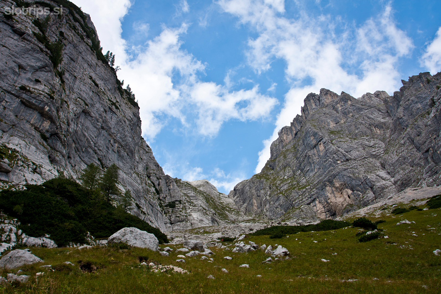
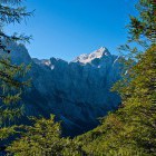
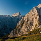
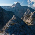
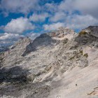
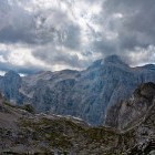
Soon, you reach the flatter terrain called ‘Na rušju’, where the path splits again. škrlatica is to the right and Križ to the left. Turn left and carry on with a gentle ascent across the interesting Karst terrain. It takes you to the edge of Križ wall or Bovška Vratca saddle. A beautiful view opens here. Krnica valley is below you (on Kranjska Gora side) and the mighty walls of Razor and Prisojnik rise above you.
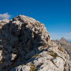
Turn left at Bovška Vratca saddle and keep on the ridge. The path takes you to a short section, secured with steel cables, in a few minutes. Overcome it without problems and make your way through a narrow passage between rocks. Križ summit is just a few steps ahead.
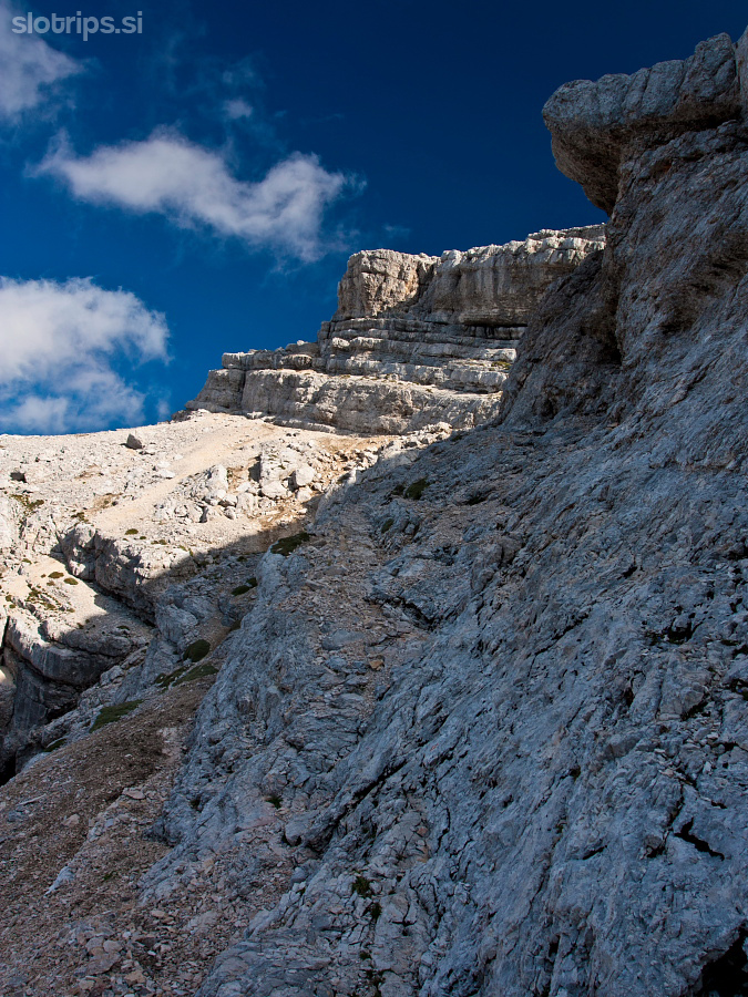
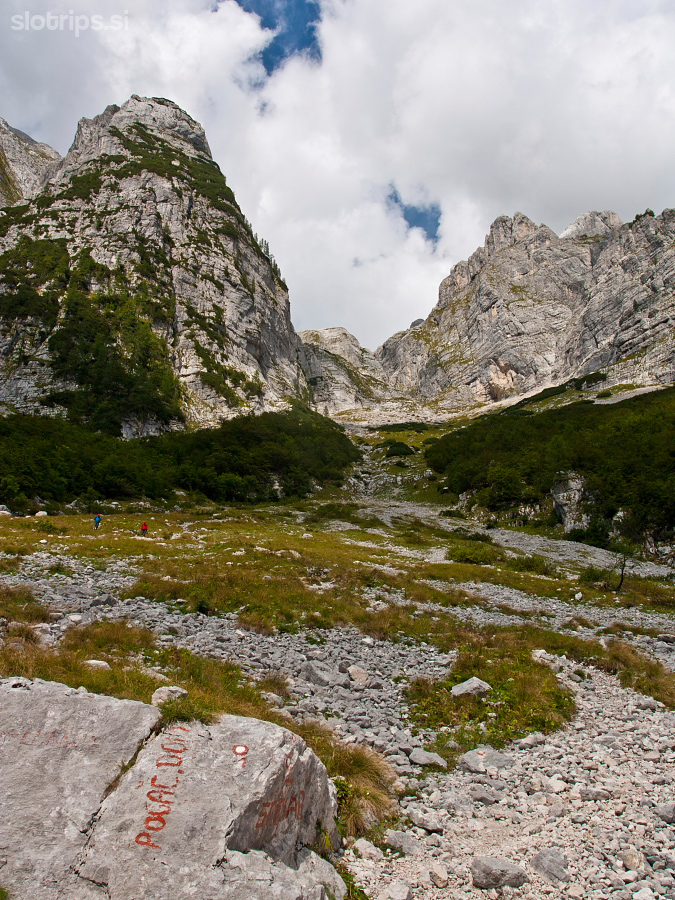
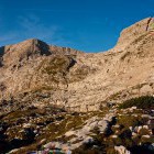
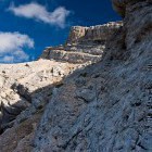
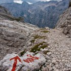
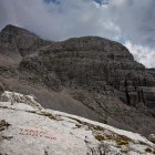
Carry on from the summit on the interesting ridge. Soon, you come to a short steep section. Take a sharp right turn behind it towards Kriški Podi plateau (although the gorgeous ridge invites you to continue straight, the faded markings guide you to the right). Terrain is very unpleasant here; the rocks are scattered with stones and gravel. Find the easiest way and look out for the markings. When you descend about 20 meters below the ridge, you come to the ‘Bovška vratca - Stenarska vratca’ path, which leaves out the Križ summit itself. The markings here are better and the path more visible. Turn left and descend towards a scree-slope below Stenarska Vratca across rock shelves.
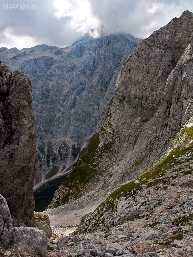
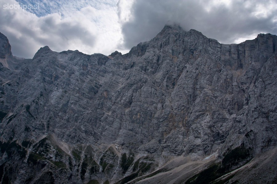
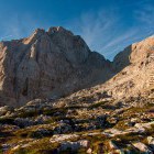
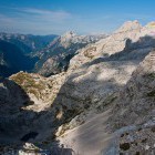
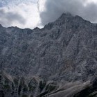
If you wish to leave out the Stenar summit, keep right. Otherwise, cross the scree-slope straight on in the direction of the markings. The path ascends gradually and takes you to the summit itself across the rocky terrain. The path is simple and the view on all sides phenomenal. You have the Triglav north wall right in front of your face and it stays this way for a good part of your descent across Sovatna valley.
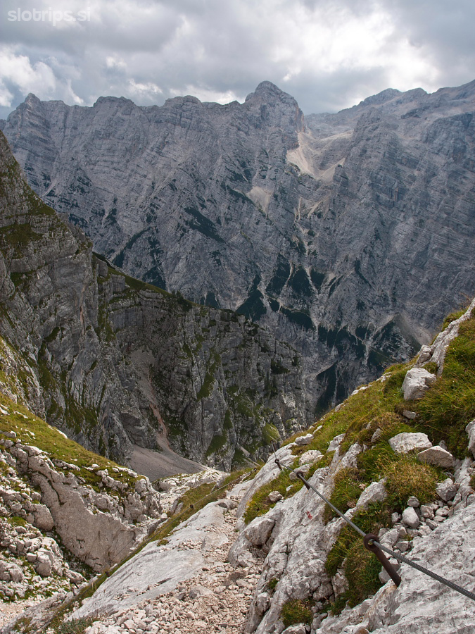
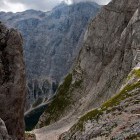
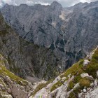
From Stenar summit return the same way to the scree-slope below Stenarska Vratca. Turn left there onto flatter ground where Kriški Podi plateau turn into Sovatna valley. This is called ‘Dovška Vratca’. Follow the marked path, keep left and look out for the signposts for Vrata. The path leads you steeply downwards through Sovatna valley and mighty walls surround you the whole time. I have heard many times that Sovatna valley is boring, hard for the knees and that it never ends. However, I found it quite pretty and panoramic.
Somewhere in the middle, a steep section awaits you and some more caution is needed – steel cables will assist you. Sovatna blends into Vrata valley, the path turns left and leads you directly to ‘Aljažev Dom’ hut.
Highest point/summit:
Križ: 2409 m
Stenar: 2499 m
Duration:
'Aljažev Dom' hut (Vrata valley) - Križ: 4 h
Križ - Stenar: 1.15 h
Stenar - 'Aljažev Dom' hut (Vrata valley): 3.45 h
Total: 9 h
Difficulty:
3 - Most of the route is easy. There is a short secured section just below Križ summit, but you should not have any problems there. Descent from Križ towards Stenarska Vratca is much more unpleasant. Pay close attention to the markings. The path runs across shelves scattered with gravel and sand. Caution is needed. The ascent to Stenar is simple and the descent through Sovanta valley only has a short steep section where steel cables assist you. Only people with severe vertigo may have some trouble.
Type of path:
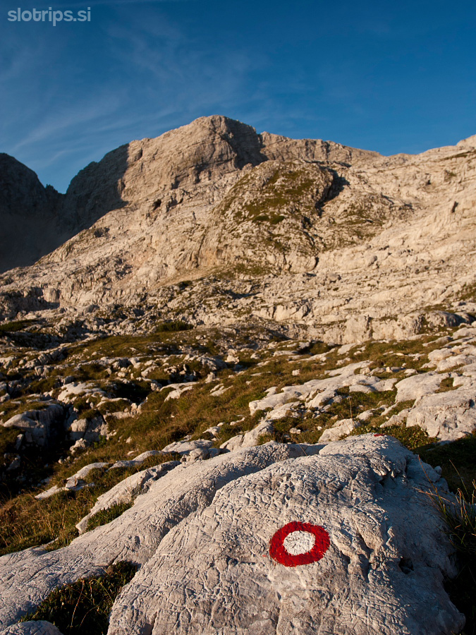
Marked - The path is poorly marked when descending from Križ towards Stenarska Vratca. Pay close attention to the markings, otherwise, you will quickly find yourselves on a difficult terrain.
Gallery
-
Start of the path in Vrata valley -

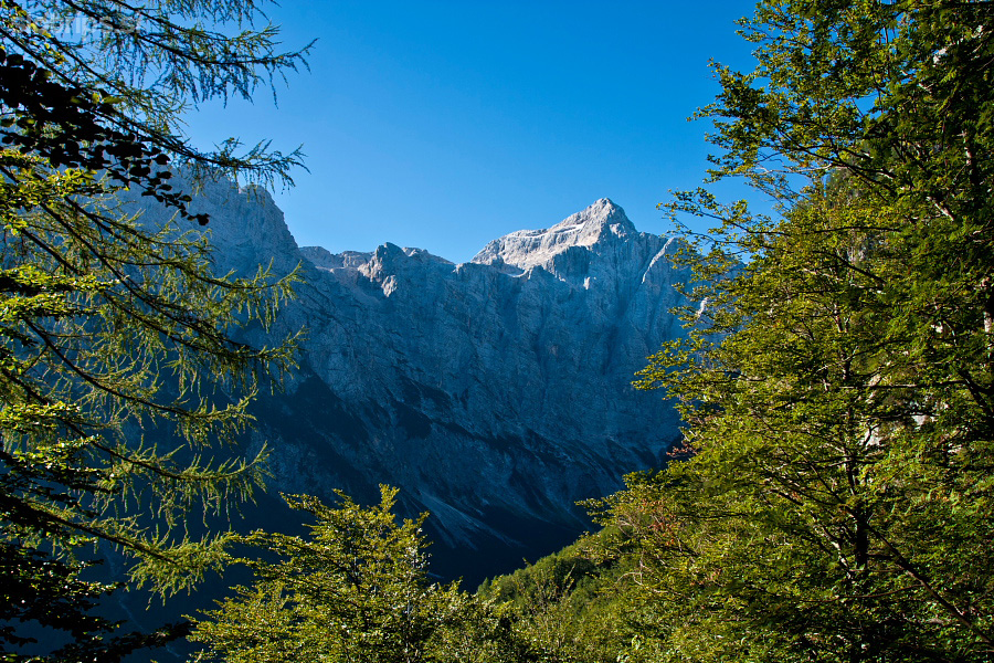
View towards Triglav -
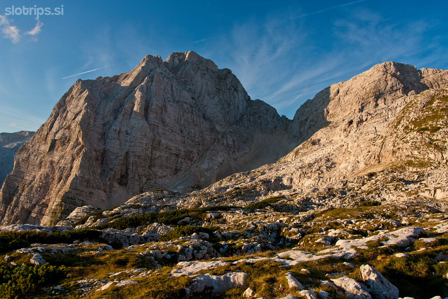
Mighty Stenar above us -
Stenar -
Triglav and Stenar -
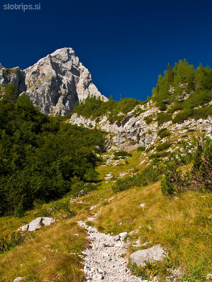
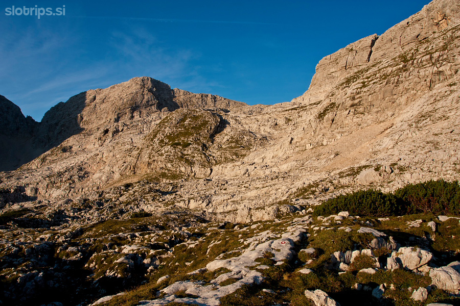
Path continues along a gently ascending Karst terrain -
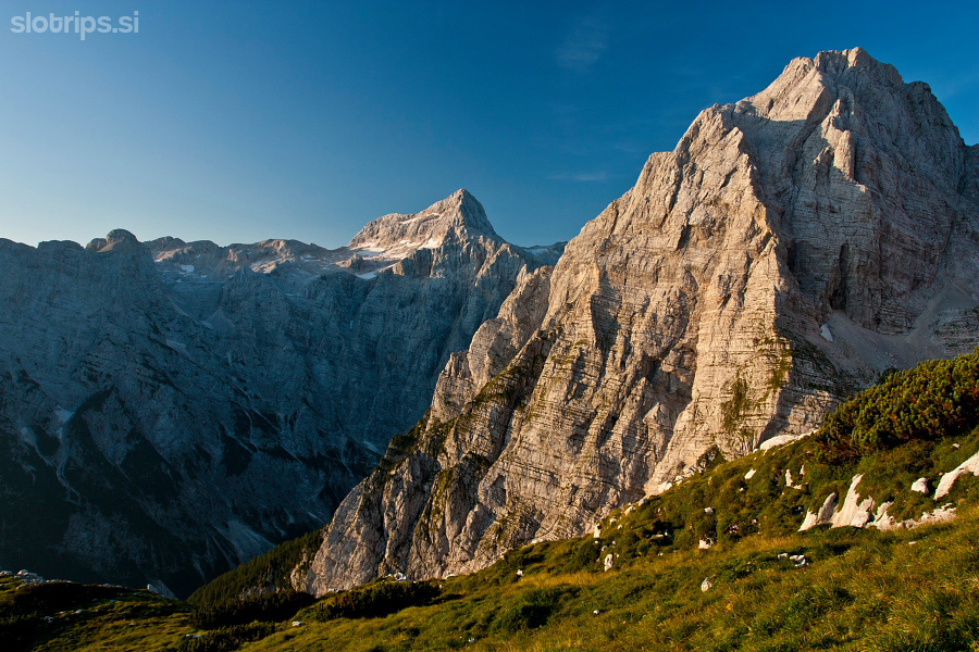
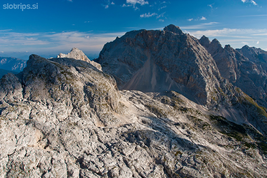
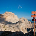
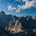
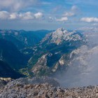
Stenar, Stenarska Vratca saddle and Križ -
On the way towards Križ -
On the way towards Križ -
On the way towards Križ -
View towards Prisojnik from Bovška Vratca saddle -
Prisojnik from Bovška Vratca saddle -
Razor from Bovška Vratca saddle -
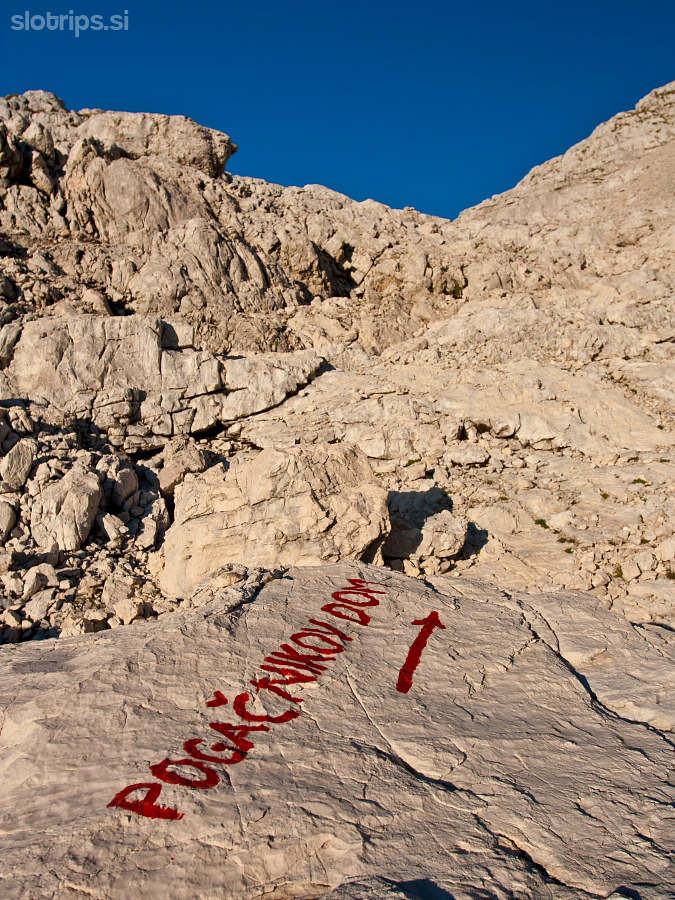
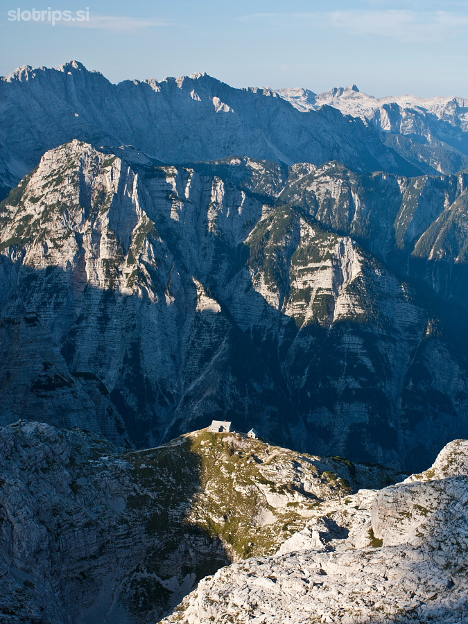
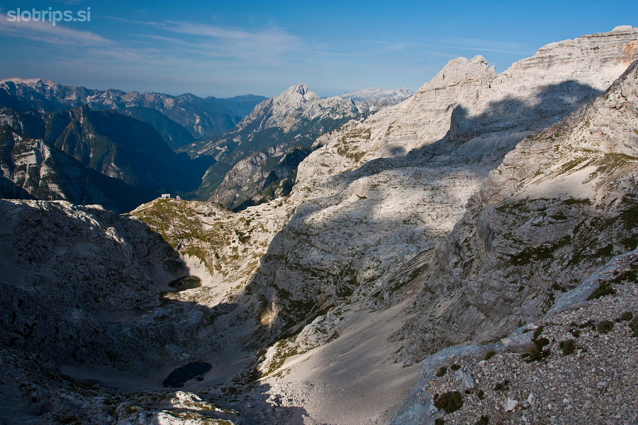
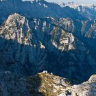
View towards Pogačnik hut on Kriški Podi plateau -
Razor from Bovška Vratca saddle -
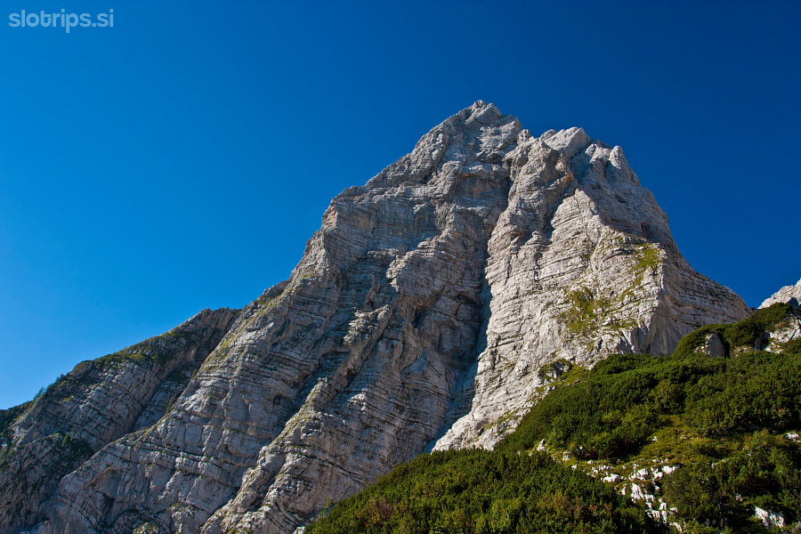
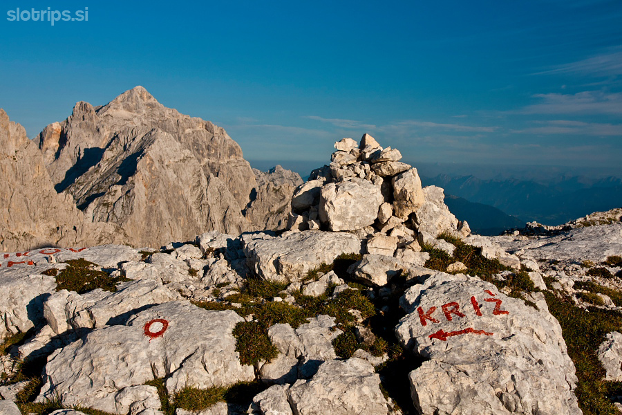
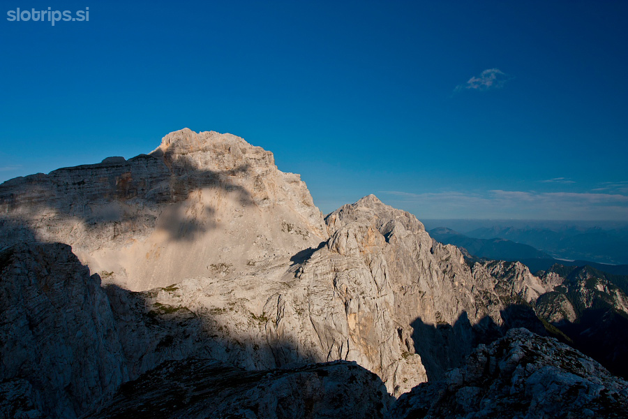
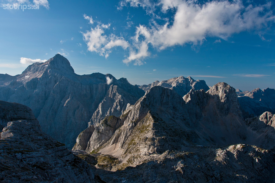
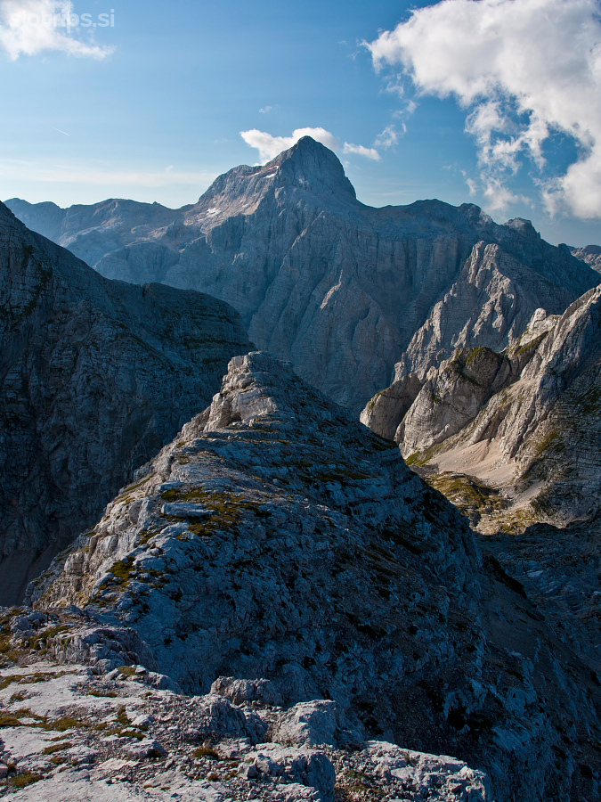
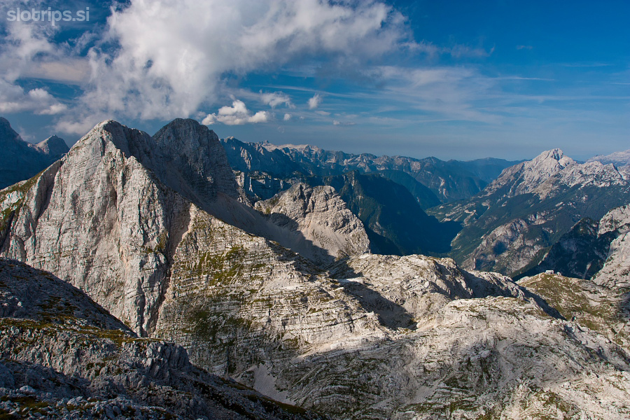
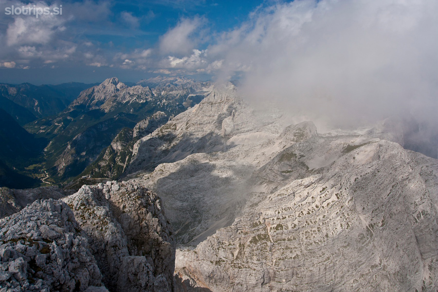
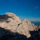
Križ summit and Stenar -
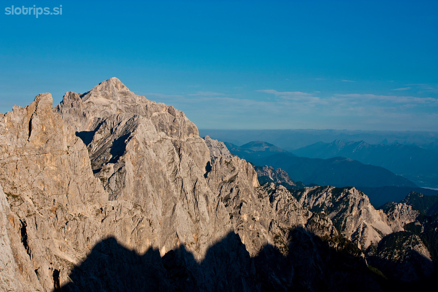
View towards Triglav -
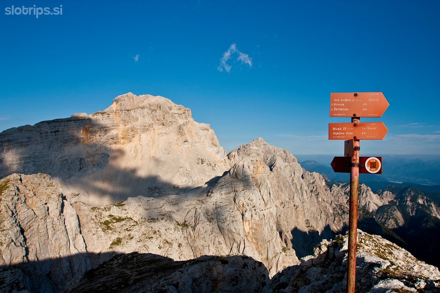
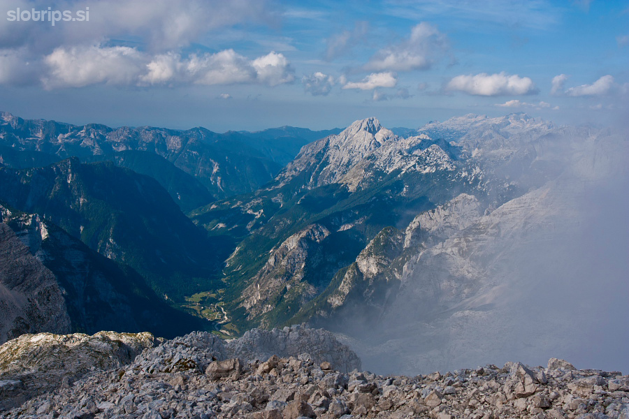
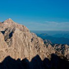
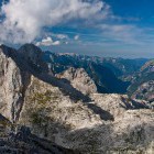
View from Križ summit: Gubno, Dolkova Špica and Škrlatica summit -
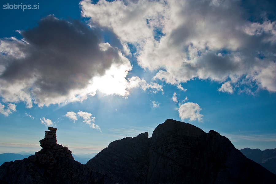
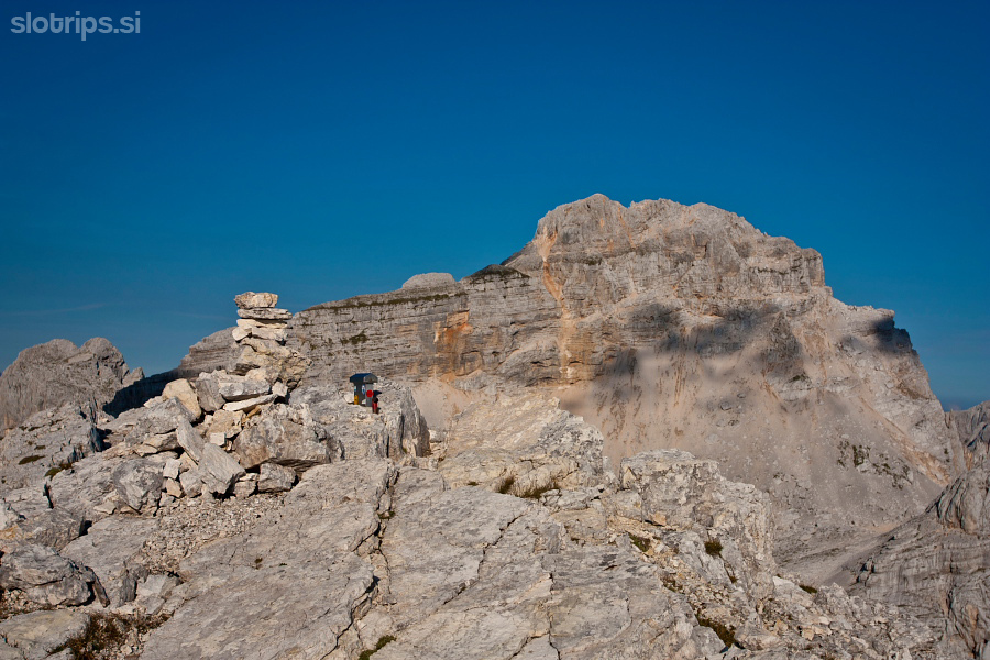
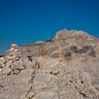
On the summit of Križ -
On the summit of Križ -
Descent from Križ (view back): turn to the west side of the ridge here -
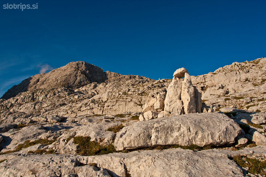
Rocky shelves below Križ summit -
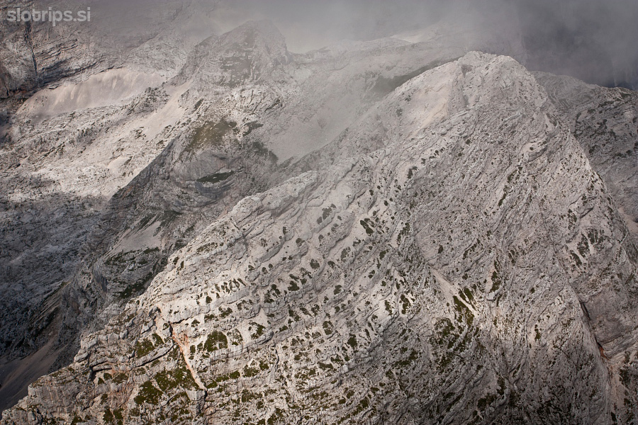
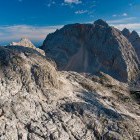
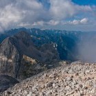
Kriški Podi plateau and Trenta valley in the back -
Kriški Podi plateau and Trenta valley in the back -
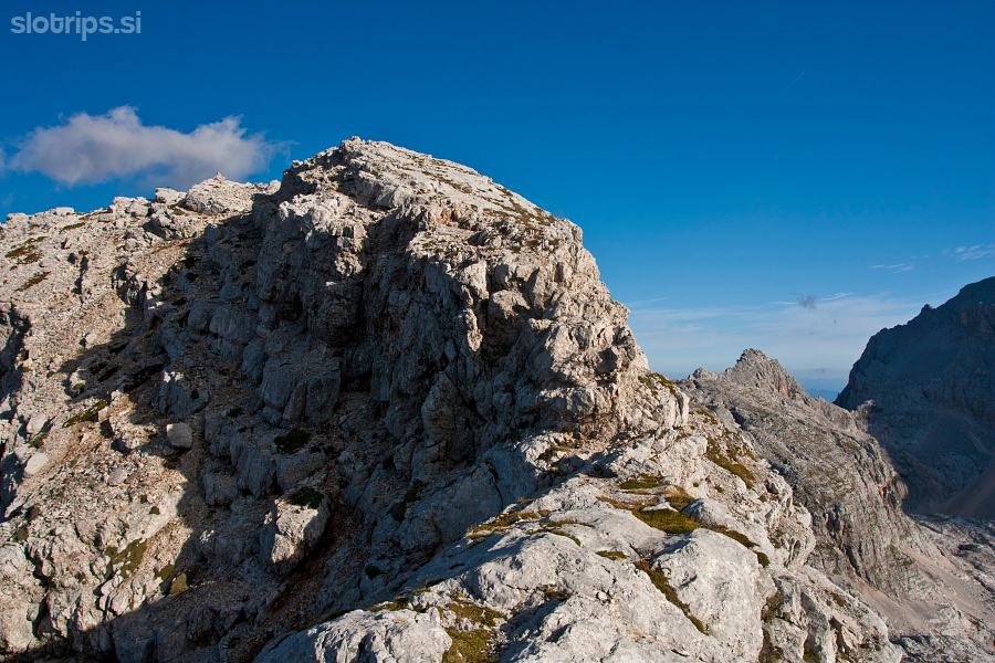
Towards the summit of Stenar -
On the summit of Stenar -
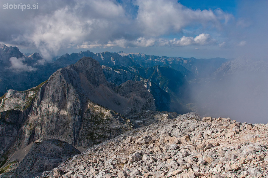
On the summit of Stenar - view towards Triglav -
On the summit of Stenar - view towards Križ -
On the summit of Stenar - view towards Križ -
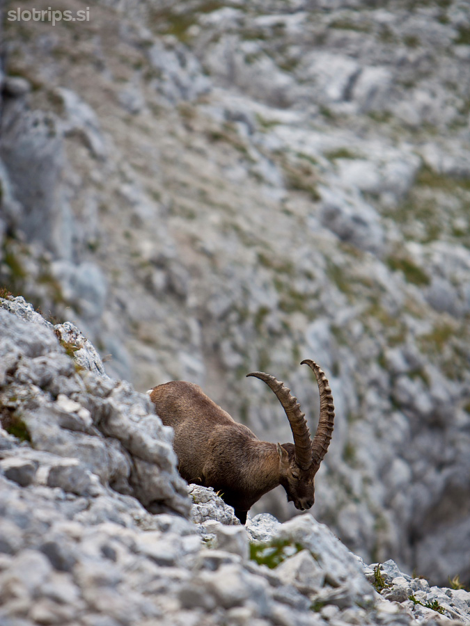
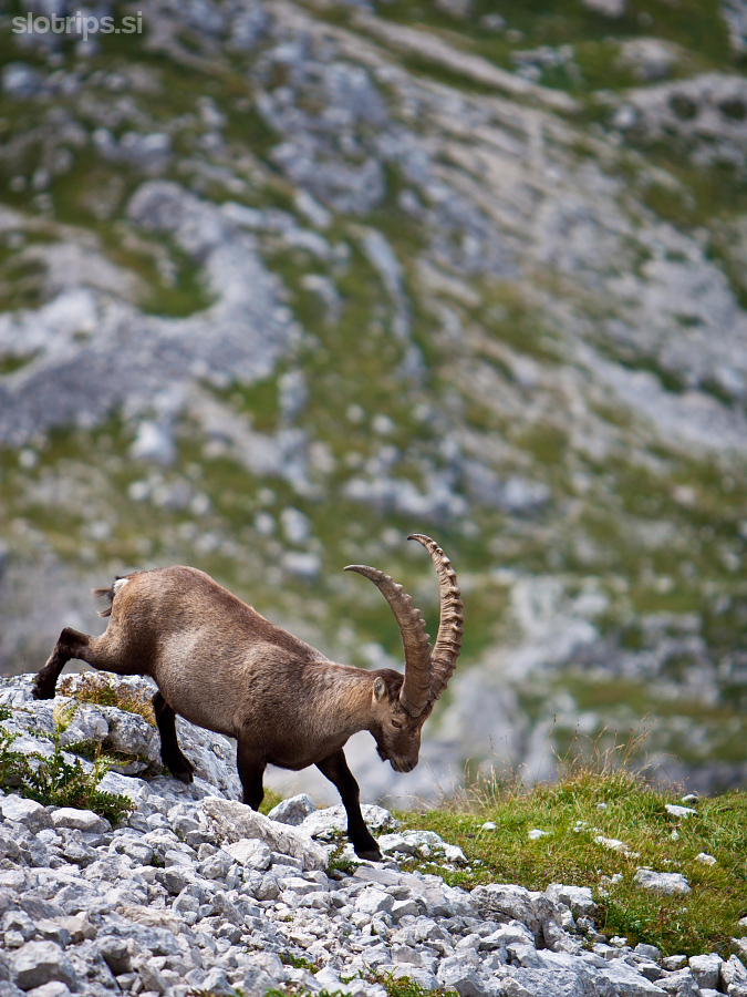
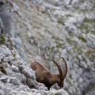
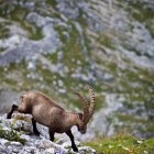
Company -
Company -
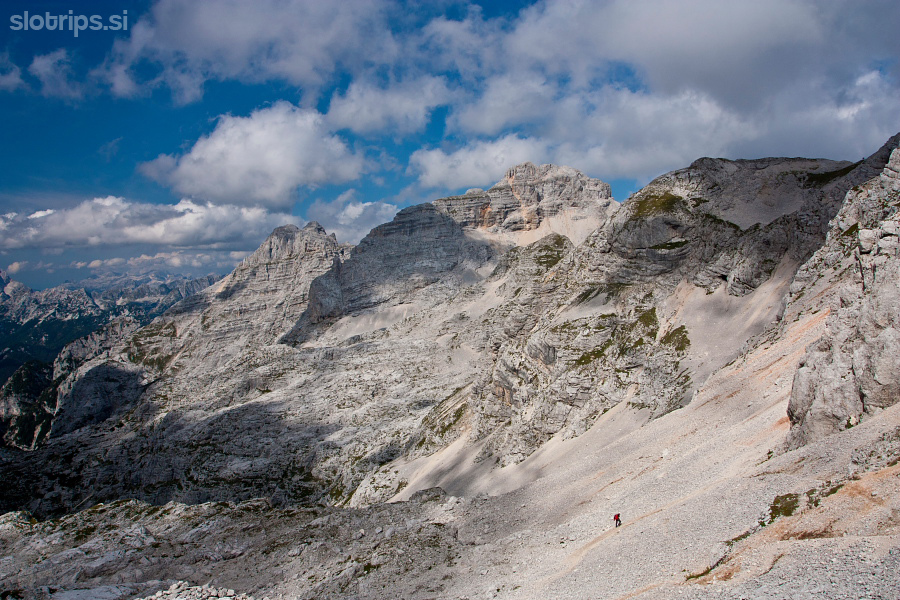
Hiker below Stenarska Vratca saddle -
On the top of Sovatna valley -
Descent through Sovatna valley -
View towards Stenar from the top of Sovatna valley -
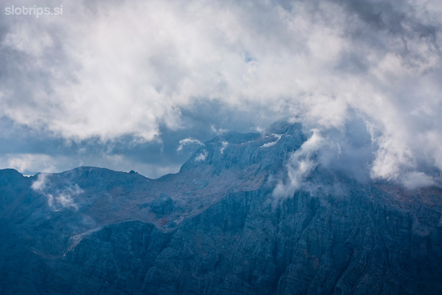
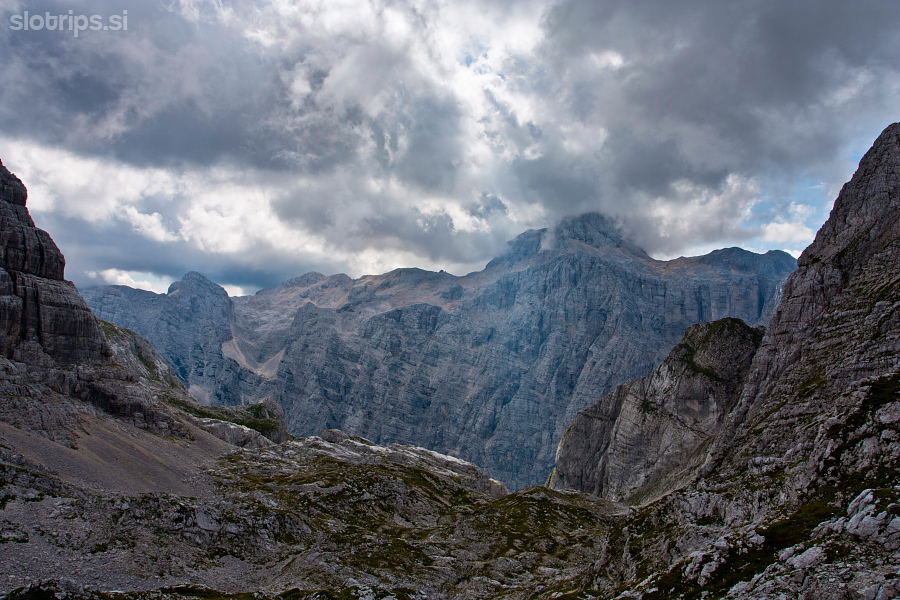
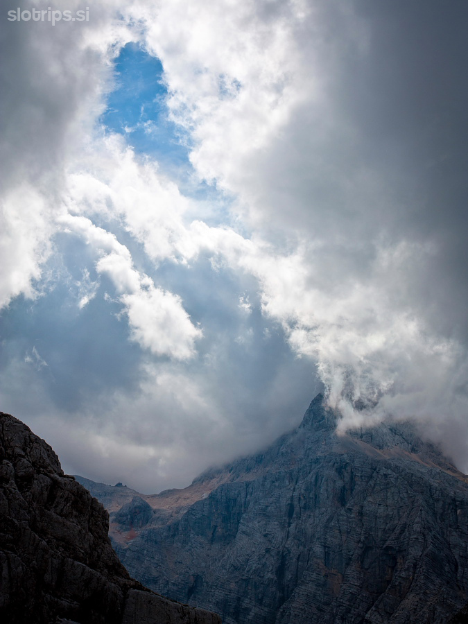
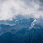
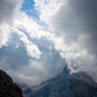
Triglav in clouds -
Sovatna valley -
Sovatna valley -
Triglav north wall from Sovatna -
Sovatna: view back -
Sovatna: view back -
In Vrata valley again