

| asphalt, dirt road, trail | ||
Starting point:
Kobarid
Description:
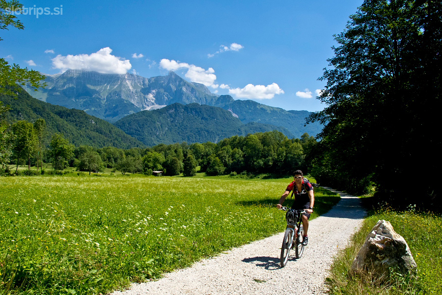
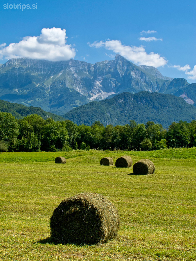
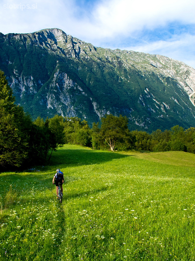
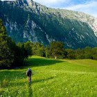
Go from the center of Kobarid in the direction of Tolmin. Soon (still in Kobarid) you will come to a crossroad where a signpost for Svino village guides you to the right. Follow the low traffic asphalt road for about one kilometer, then (at a left turn) proceed straight on along a dirt road. Before long you come to Sužid village where you simply continue straight ahead. The path leads you to the main asphalt road across wonderful meadows. Once you reach the asphalt road go right and in a few meters already turn left onto a smaller asphalt road towards Breginj. Follow this road throughout. The road ascends gently and passes through villages Potoki, Borjana and Homec.
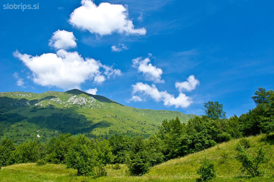
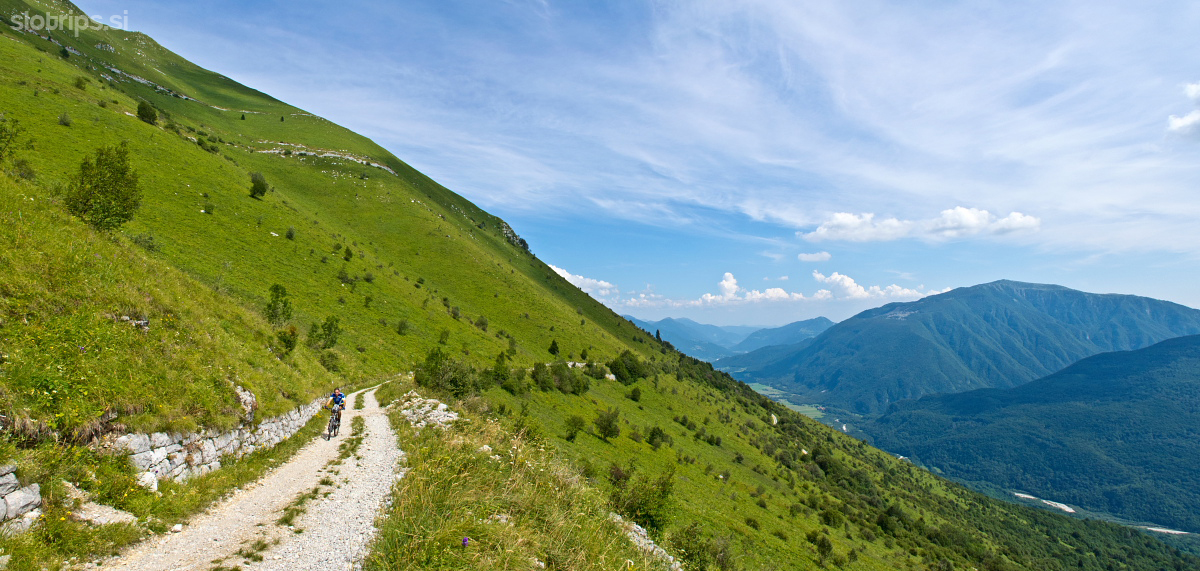
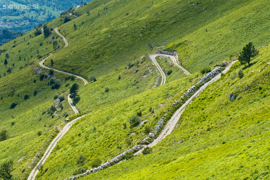
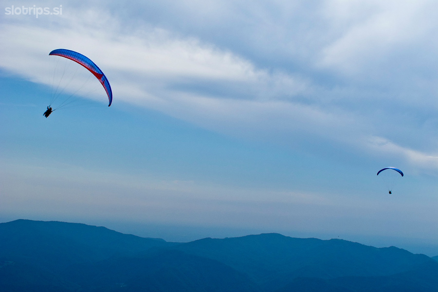
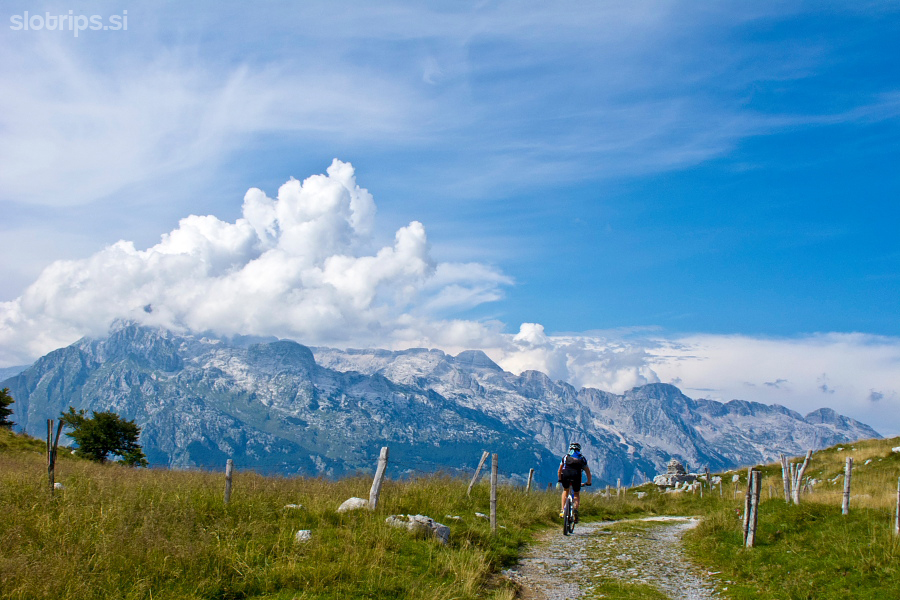
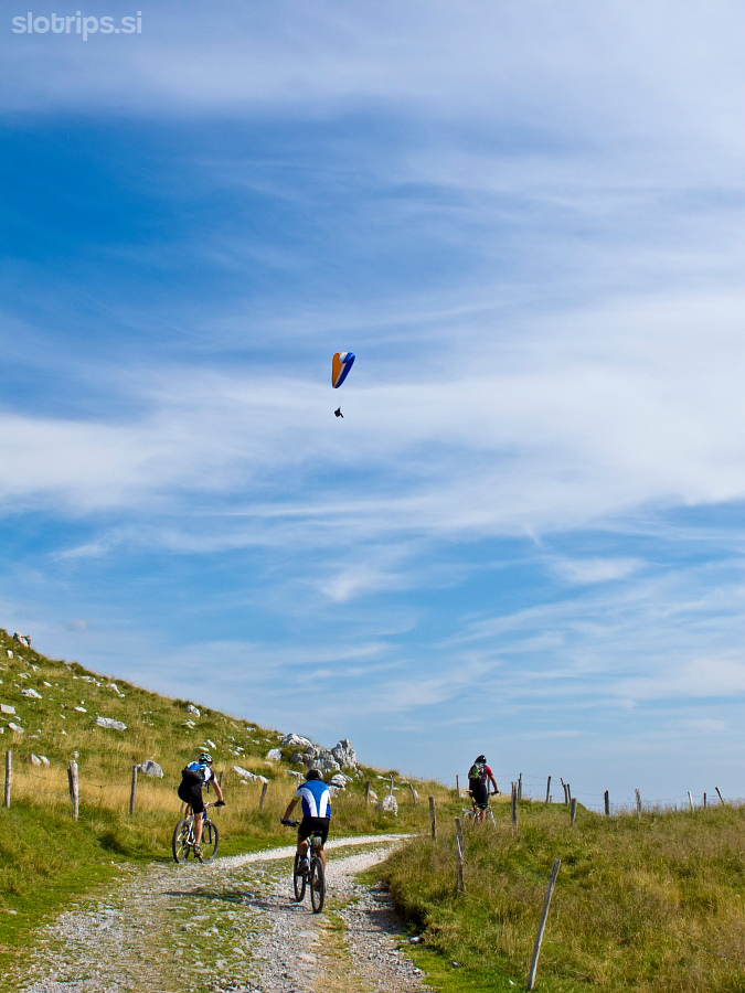
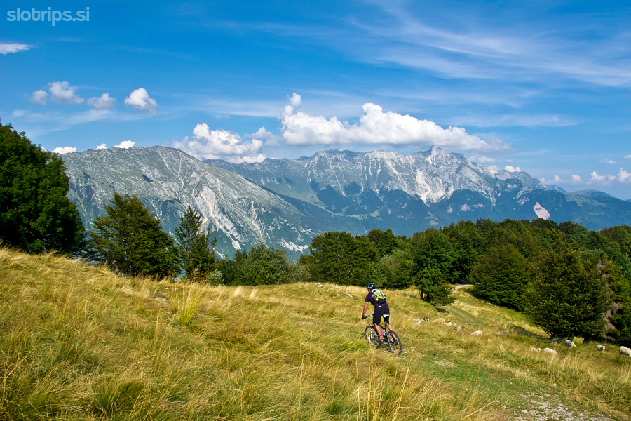
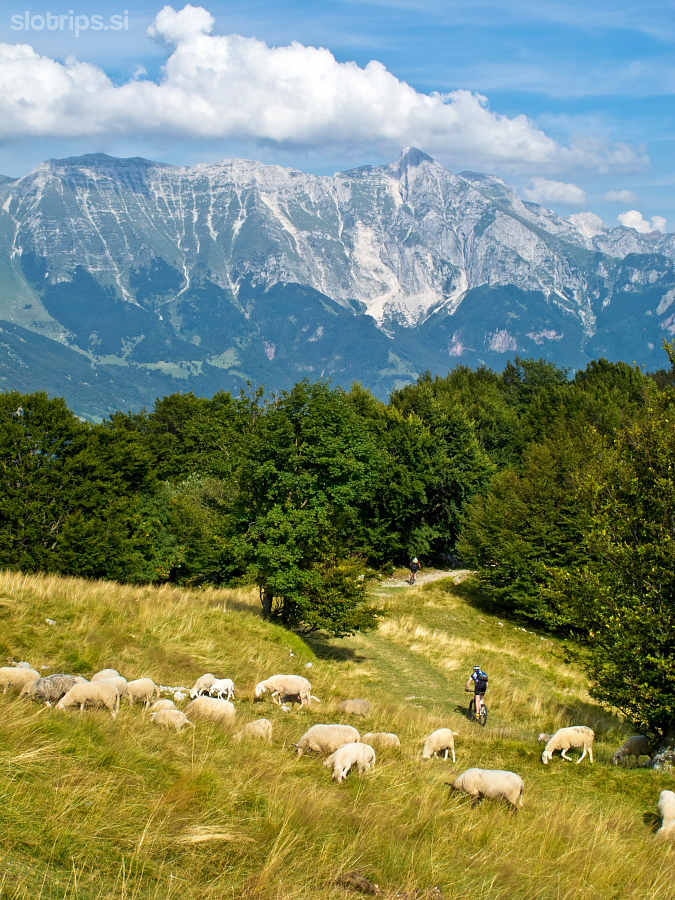
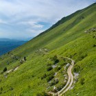
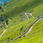
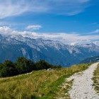
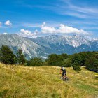
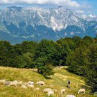
At a right turn above Sedlo village you will spot an obvious dirt road branching off to the right (a marked cycling path and a jump-off point for paragliders). Turn right here and the serious part of the ascent start now. Although the road winds up gently, the rough stones will surely wear you out. The view is lovely, but it gets very hot here in the summer. Perhaps it is better to ascend up to the ridge across the shady north side (from Kobarid on the main road to Žaga village, go left towards Učja and turn left to Stol at a marked spot) 
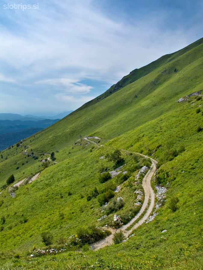
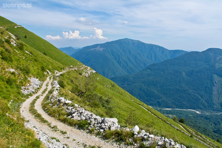
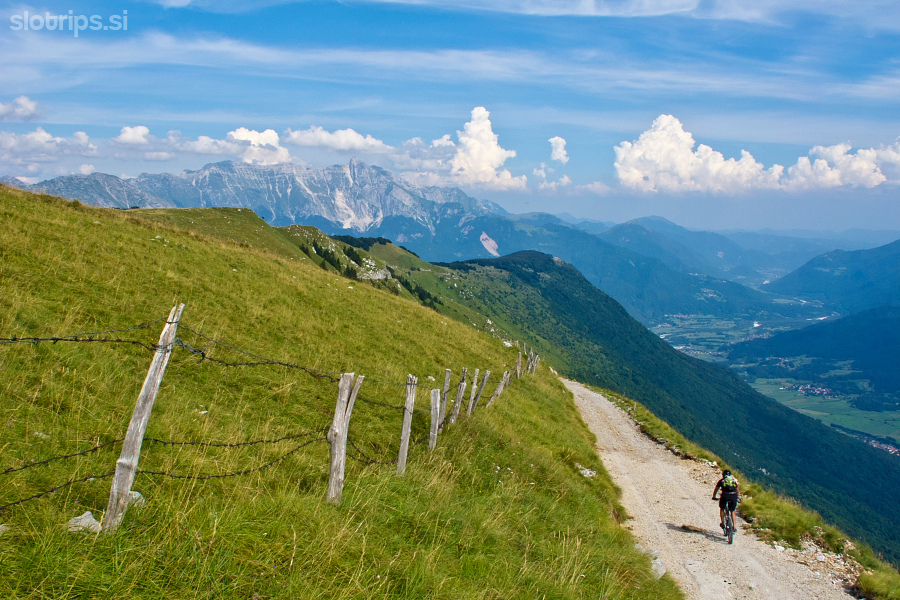
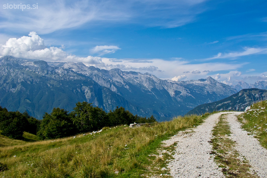
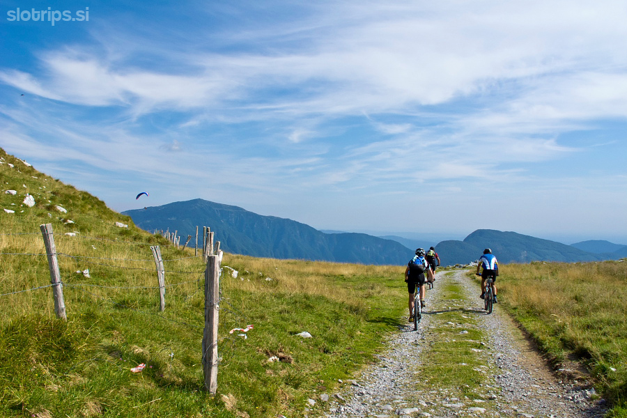
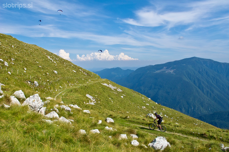
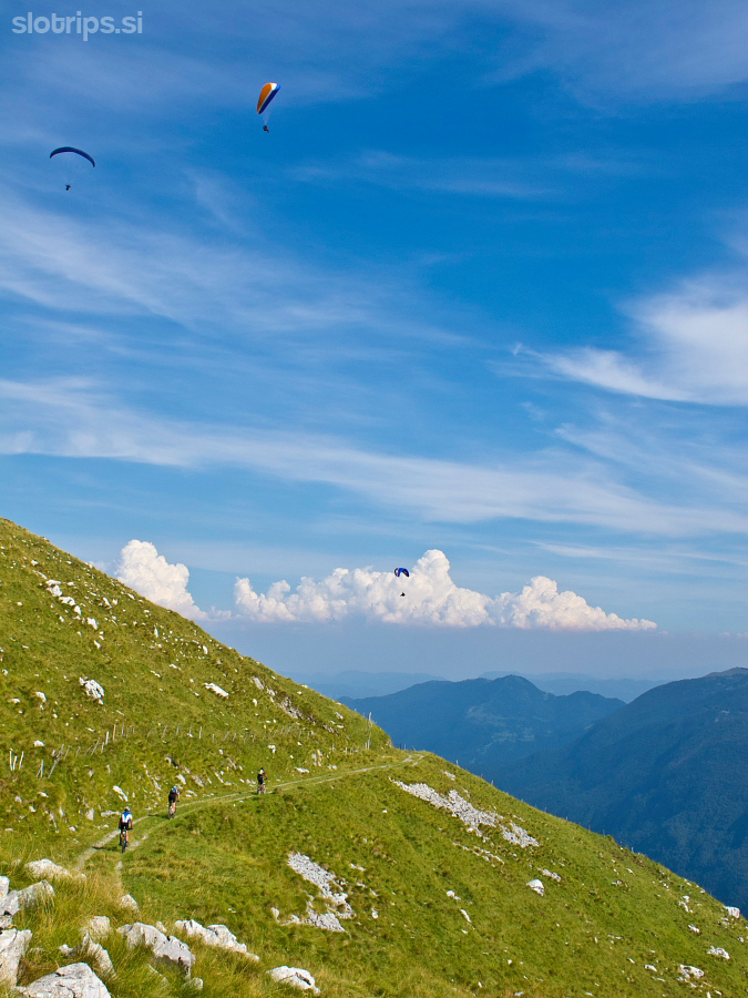
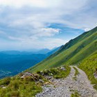
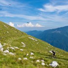
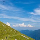
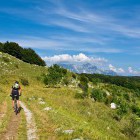
Anyway, once you reach the ridge, you can ascend on foot to the summit of Stol itself - another 250 altitude meters. But in case you do not feel like hiking, just follow the ridge path which descends slowly. Soon you come to a place where the road from the north side comes up to the ridge too. I suggest you ride slightly to the left and get a gorgeous view of the Kanin mountains as well.
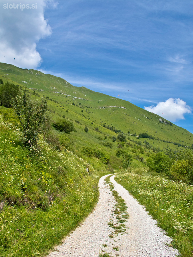
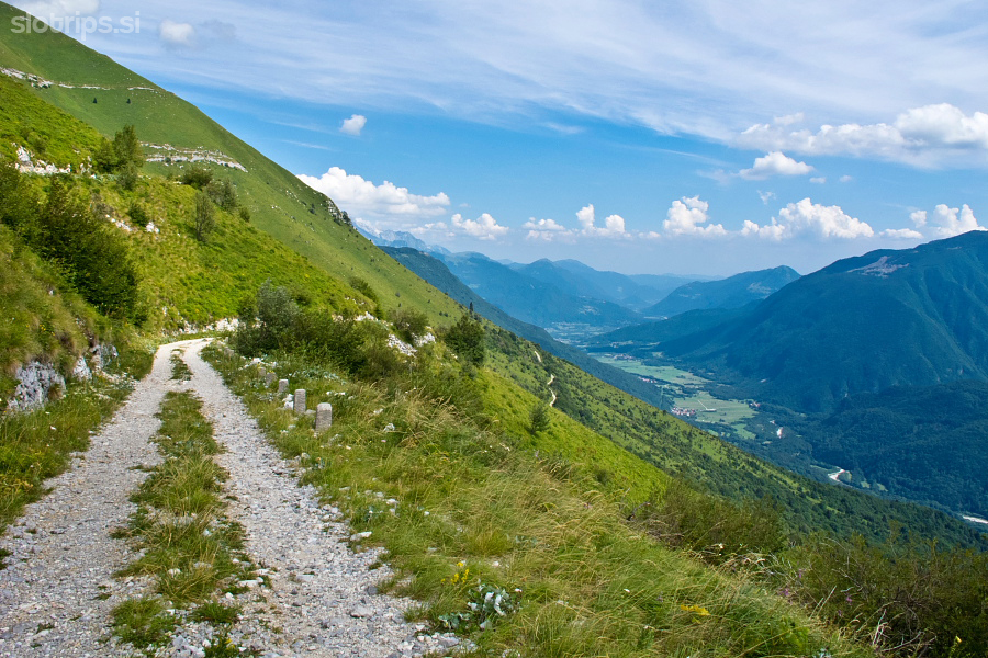
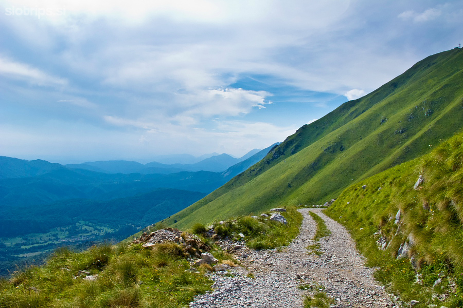
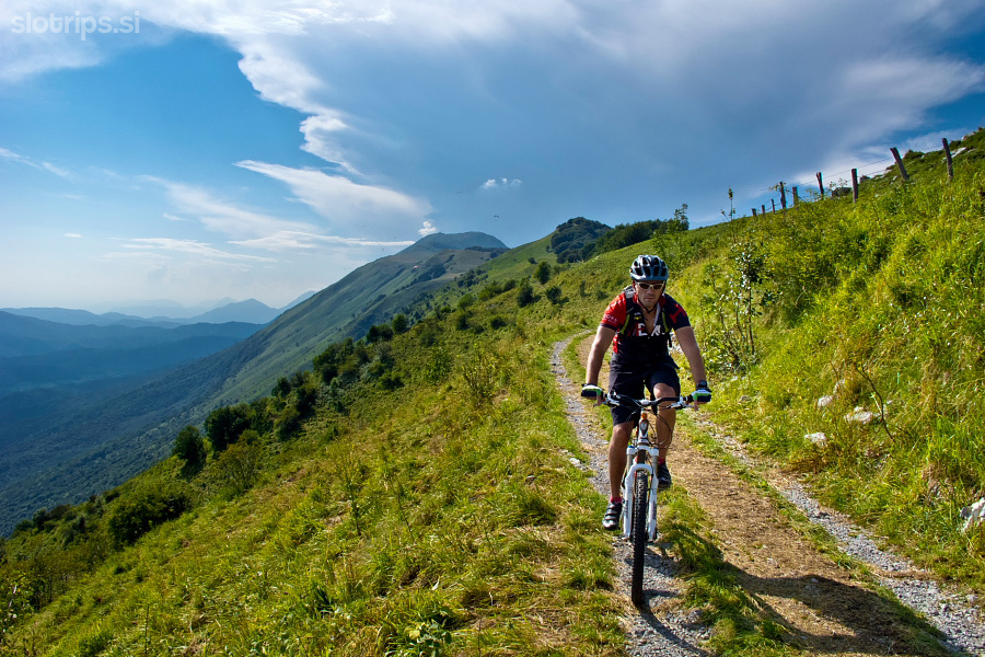
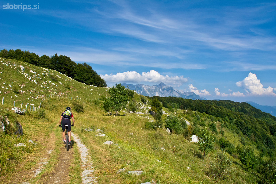
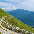
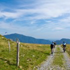
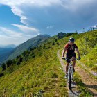
Return back and follow a dirt road, which leads eastwards slightly on the south side of the ridge throughout. Go along this amazing and enjoyable path for about 5.5 km. On a larger meadow (at a right turn) a wooden marking stake directs you sharply to the left onto a narrow path (towards TRNOVO). You leave the ridge here, ride into the forest and go down on a steep path to the north side. The first section is incredibly steep and only mountainbikers with excellent technical skills will be able to get through it on their bikes. Eventually the path flattens out and turns into a wider dirt road. Follow this road all the way to where it merges with the main asphalt road 'Bovec – Kobarid'. Turn right here, but leave the asphalt road after only a few hundred meters (by a parking lot). Turn left onto a rough dirt road descending towards Soča river and follow it all the way to Napoleon bridge over Soča river. Just a short ascent to the right parts you from the center of Kobarid.
Warning: A part of the descent runs along a singletrail (foot-path). Ride slowly, use your front brakes and don't leave any trails with your rear wheel. Move from the path if you meet hikers. A warm 'hello' and a smile is very welcome.
A tip: If you want to discover the best and hidden MTB singletrails in the Soča valley - JOIN OUR MOUNTAIN BIKE TOUR!
Highest point:
Saddle below Stol: ca. 1400 m
Length (duration, km):
Kobarid - Saddle below Stol: 3 h (26 km)
Saddle below Stol - Kobarid: 1.45 h (19 km)
Total: 5 h, 45 km
Type of trail:
29% asphalt (13 km)
53% dirt road (24 km)
18% singletrail/cart road (8 km)
Gallery
-
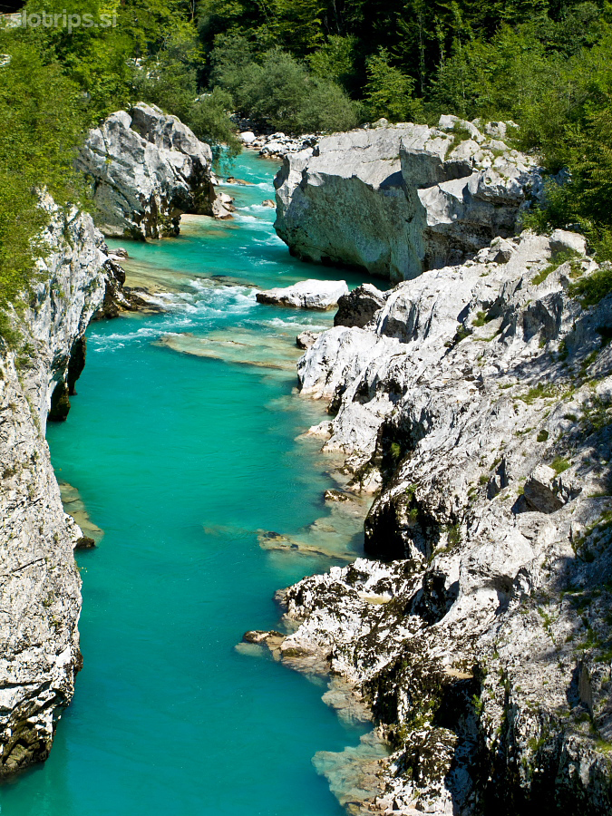
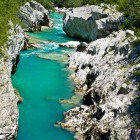
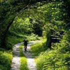
Soča gorge in Kobarid -

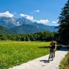
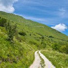
Along the valley towards Stol -
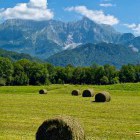
View towards Mt. Krn -
Start of the ascent to Stol -
Stol (Kobariški) - at the beginning there is some shadow -
But after that only sun.... -
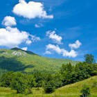
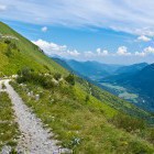
Southern slopes of Stol -
Southern slopes of Stol -
Southern slopes of Stol -
Stol (Kobariški) - ascent across the southern slope, Mt. Matajur is in the back -
Stol (Kobariški) - hairpin turns -
Southern slopes of Stol -
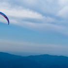
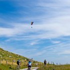
Stol (Kobariški) - popular jump-off point for paragliders -
Stol (Kobariški) - arrival to the ridge -
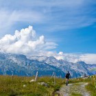
View towards Mt. Kanin -
Stol (Kobariški) -
Stol (Kobariški) -
Stol (Kobariški) -
Stol (Kobariški) - start of the descent -
Stol (Kobariški) - start of the descent -
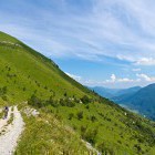
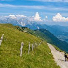
Stol (Kobariški) - the panoramic ridge -
Stol (Kobariški) - the panoramic ridge -
View towards Mt. Krn -
Stol (Kobariški) - wonderfull! -
Stol (Kobariški) - the last part of the descent