


Starting point:
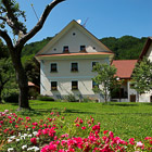
Poče village near Cerkno town (around 630 m). You can come to Cerkno through Poljanska valley (Škofja Loka - Hotavlje - Cerkno), Selška valley (Škofja Loka - Železniki - Davča - Cerkno) or from Primorska region (from Idrija or Most na Soči). Once in the center of Cerkno look for the signposts for Zakojca, which direct you northwards. An asphalt road begins to ascend gradually. At the only crossroad turn right towards Poče. Park so that you do not bother the locals; it is best to park near the fire station at the beginning of the village.
Description:
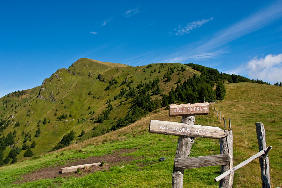
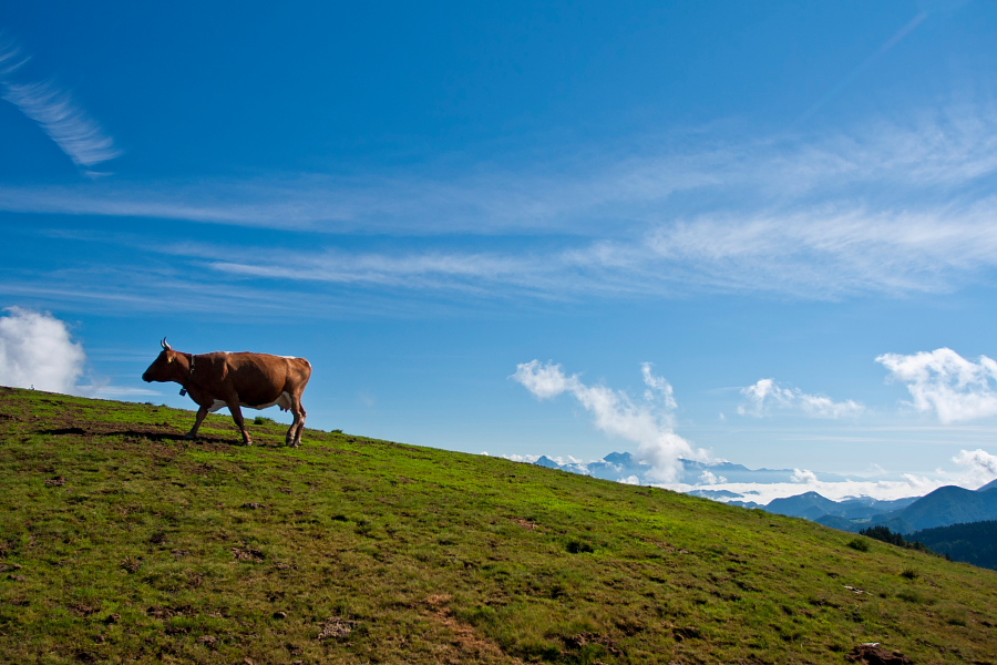
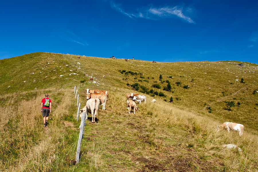
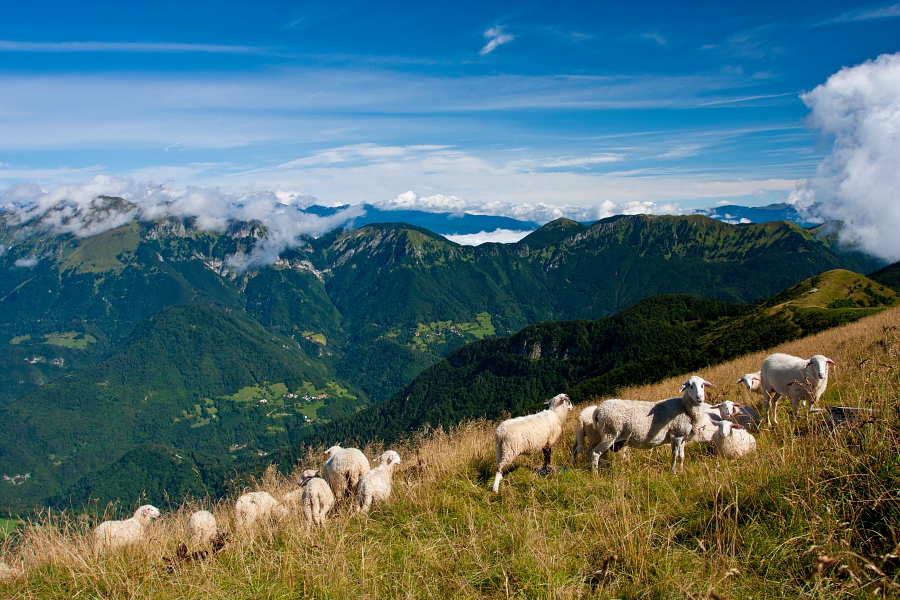
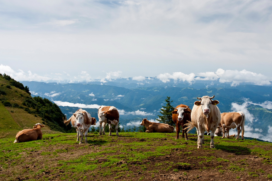
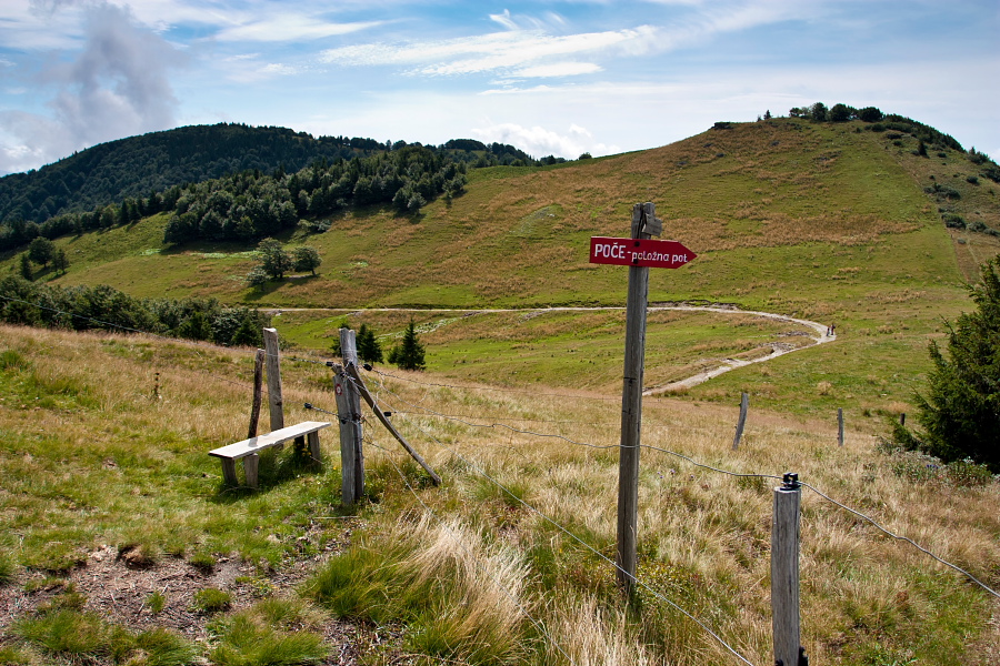
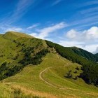
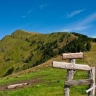
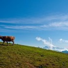
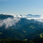
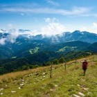
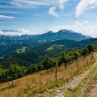
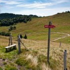
From the fire station head towards the center of Poče village and look for the first signposts for Porezen. The signposts direct you to the left and then right. You come to a 'T-shaped' crossroad of asphalt roads (at the house Poče 13). Although the markings here direct you left, you should turn RIGHT. The asphalt ends among the houses and you proceed ahead on a dirt road. After a 'S' curve by two garages turn right and come to the next few houses. Just after them a marking guides you to the left onto a grassy cart road. The markings from here on are excellent. At first you will be ascending through a forest, then you come to a charming meadow (called 'Labinjske lehe') and higher continue through the forest again. Once you reach Velbnik saddle (1330 m altitude meters) at a hunting shack, only clouds can stand in the way of a great view. Keep on a grassy path and ascend directly to the summit along lively meadows. One the way pay attention to a signpost 'Poče – položna pot' (= gentle path), because you will be descending back to Poče this way.
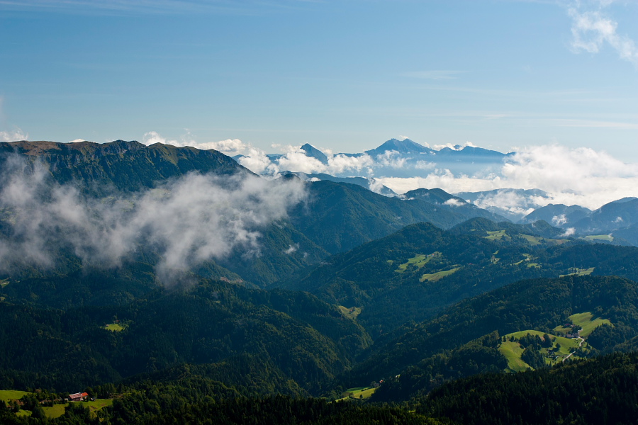
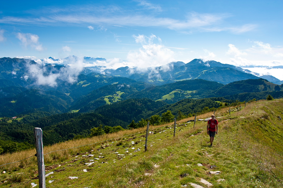
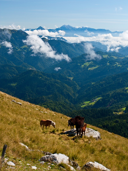
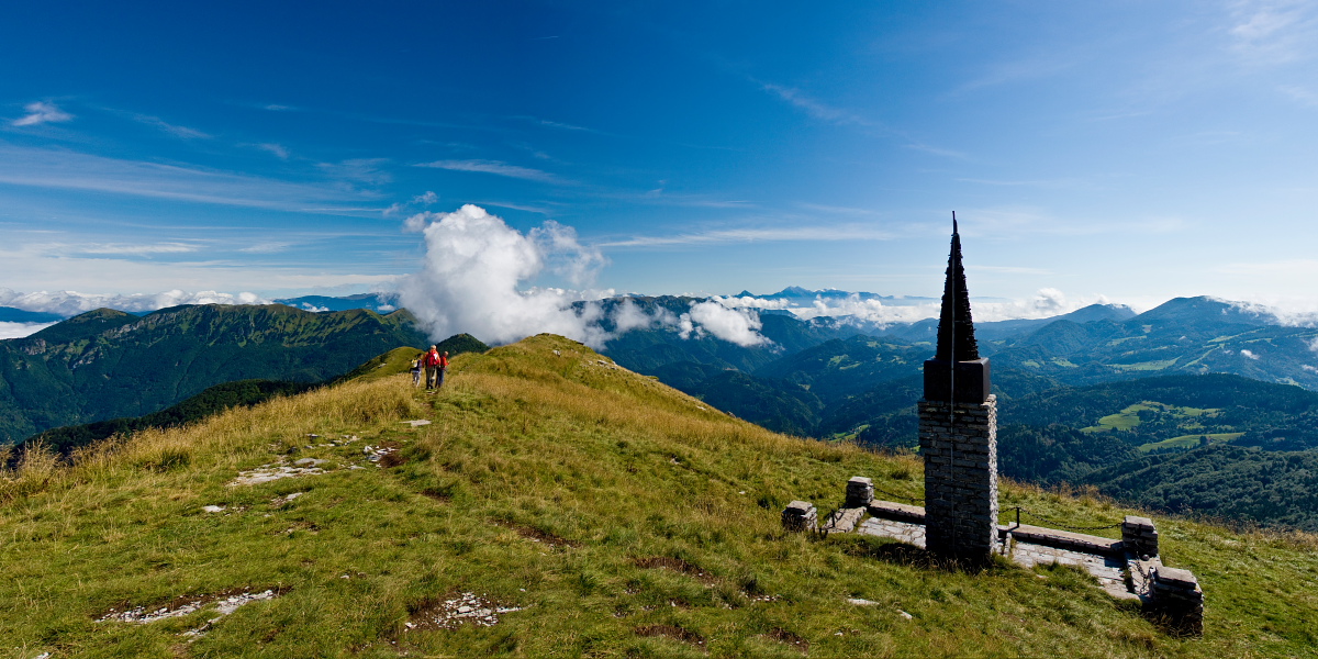
When you reach Porezen summit and fully enjoy the view, continue on the north-east ridge to 'Dom Andreja Žvana – Borisa' hut just below the summit. Behind the hut you come to a rough cart road where you keep right and go around the summit on its east side. At a signpost for a path towards Davča (which otherwise points to the left), cross the meadows to the RIGHT and come to the above mentioned signpost 'Poče – položna pot'. At first it runs across a bare and slightly steeper slope, but later it goes into a forest, flattens out and gradually turns into a forest road. Simply follow the markings to Poče.
Duration:
Poče - Porezen (past 'Labinjske lehe' meadows): 2.30 h
Porezen - Poče (along the gentle path): 2
Total: 4.30 h
Difficulty:
2 - The entire route is technically easy.
Type of path: Marked path
Gallery


-
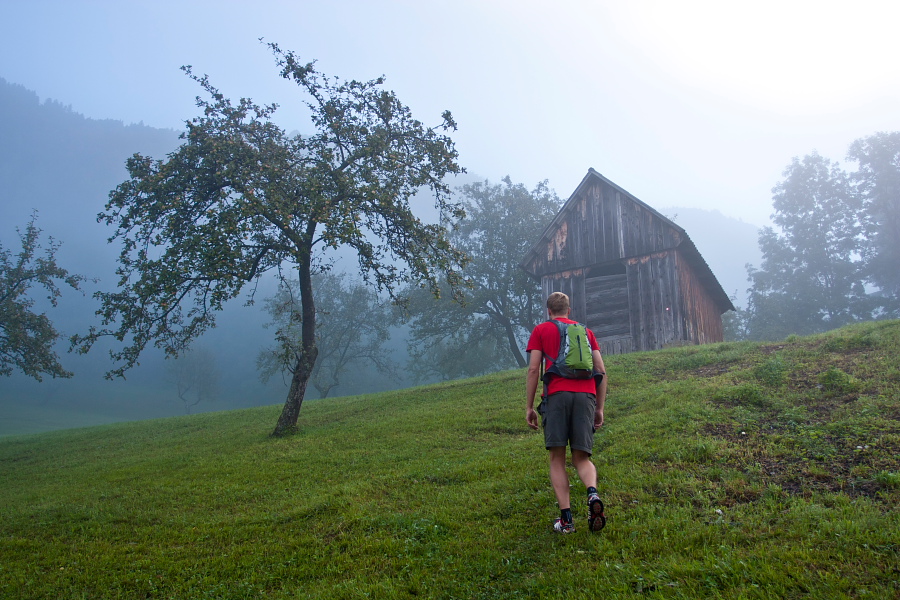
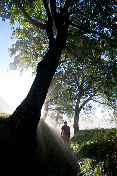
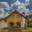
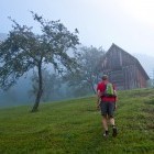
Porezen - Start of the path in Poče village -

On the way... -
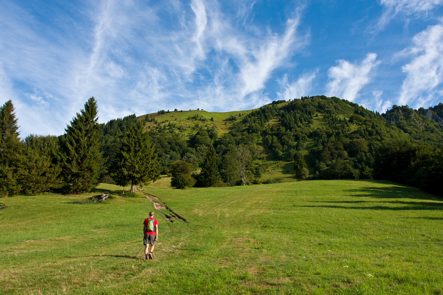
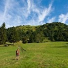
Porezen - Labinjske lehe -
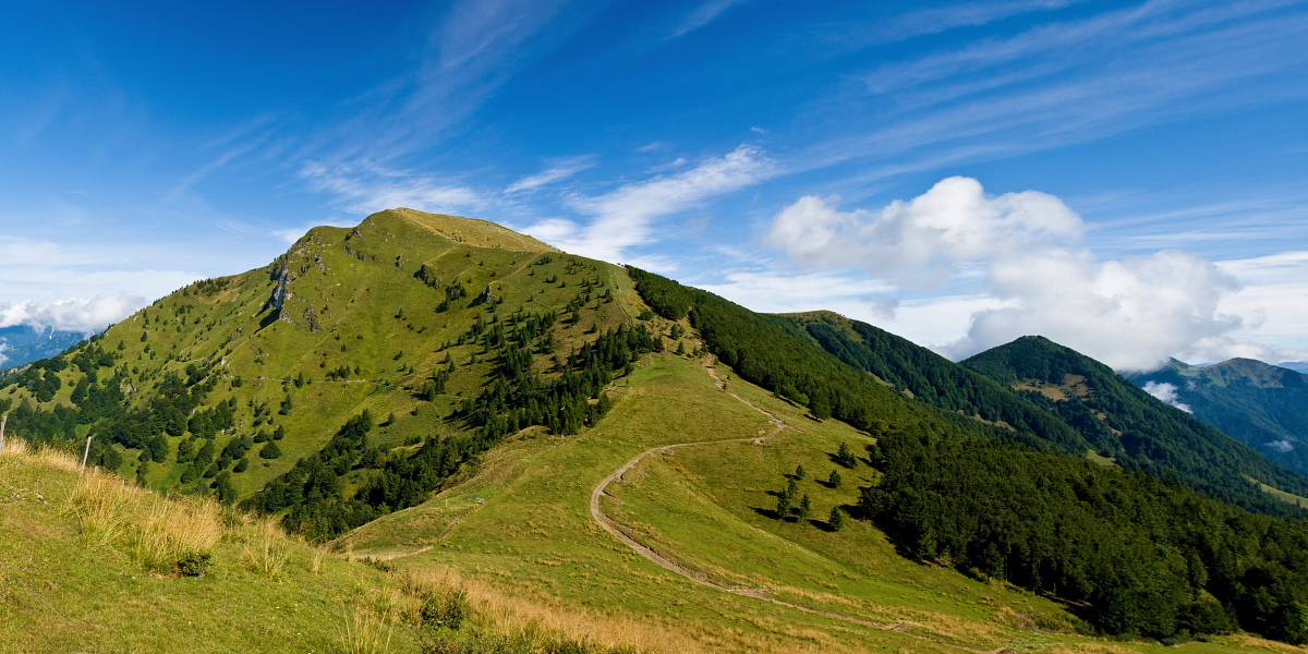
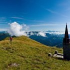
Porezen - The path offers excellent views -
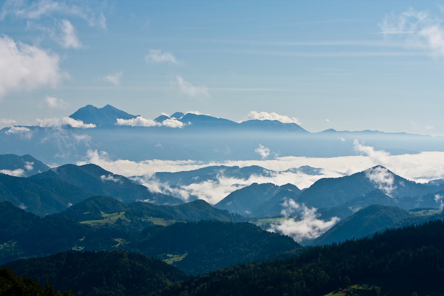
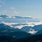
Porezen - View towards Kamnik-Savinja Alps -
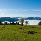
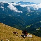
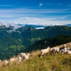
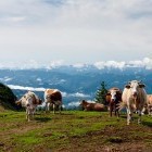
Meadows below the summit of Porezen -
Meadows below the summit of Porezen -
Company -
Porezen - Excellent view -
Just below the summit of Porezen -
Just below the summit of Porezen -
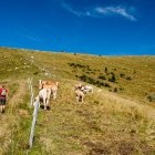
Company on Porezen -
Company on Porezen -
Company on Porezen -
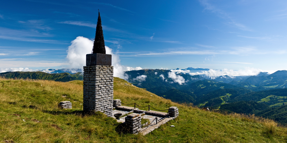
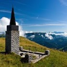
A memorial to partisan soldiers on the summit of Porezen -
A beautiful day on Porezen -
Porezen - descent along the cart road -
Mad? -
Turn right here and follow the gentle path ("položna pot") to Poče village