
How to get there:
You can get to the climbing area in two ways:
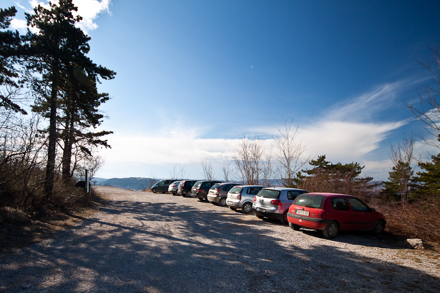
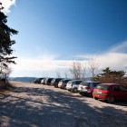
1) Leave the motorway 'Ljubljana - Koper' on exit Kastelec and follow the signposts towards Podgorje. At the first crossroad go straight, at the second one go left and then after about 1.5 km turn right towards Črnotiče. Turn right after 700 meters (at a small electric power transformer) and continue on a dirt road for about 1 km (parking lot A).
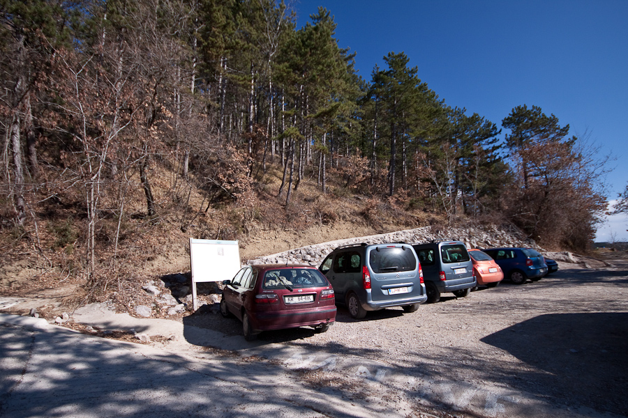
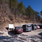
2) Leave the motorway 'Ljubljana - Koper' on exit Črni Kal. At the second (bigger) crossroad turn left uphill towards Kozina and Črni Kal. After the second sharp curve (before a bus stop) turn sharply to the right into the village of Črni Kal. Go around a church tower on a narrow road, then keep right (a wooden signpost) and an asphalt road will take you to the parking lot B shortly. Access:
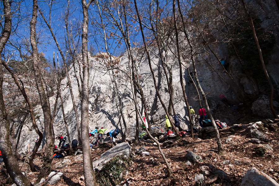
From the parking lot A follow the descending dirt road for about 200 meters; at a large rock turn left on a well traced path that brings you to the sector 'Turški stolp'. Access from parking lot B is more convenient for sectors G and H (Sidarta, Peskovnik, Viagra). Follow a dirt road from the parking lot for around 100 meters and you will notice a well traced path on the left. There are 5 more minutes to the crag.
Best time for climbing:
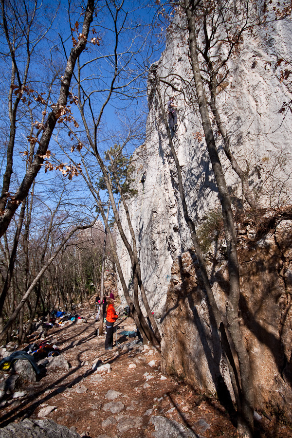
In Črni Kal it is possible to climb through the whole year with the exception of hot summer days. Spring and autumn are the most beautiful. During summer you can choose shady sectors and the north side of 'Turški stolp'.
Orientation of the wall:
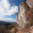
The whole climbing area faces towards south-west.
Warnings:
Park your cars so that you do not hinder local traffic!
Link to the sketch of the crag 1 and sketch of the crag 2.
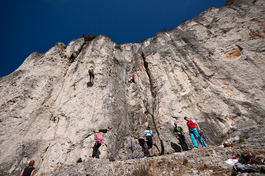
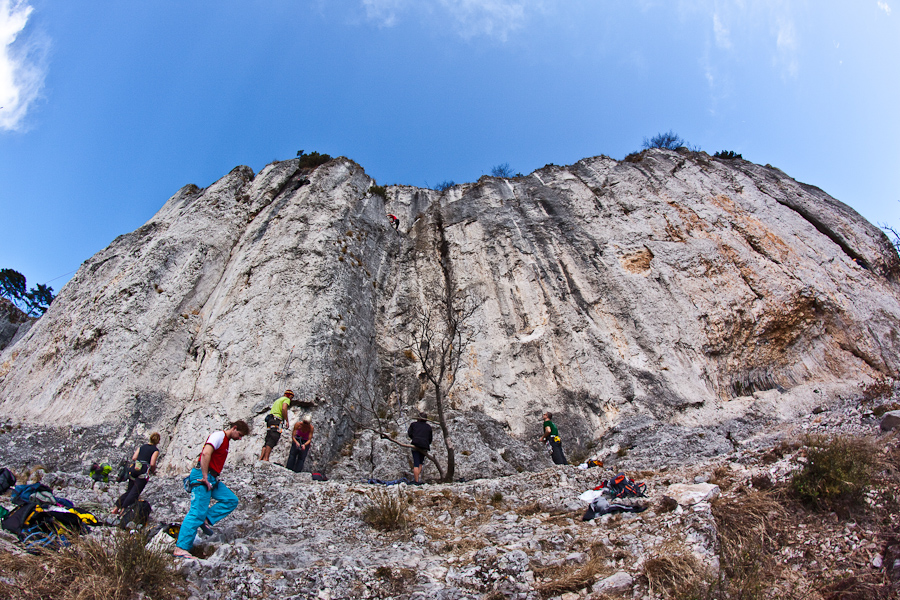
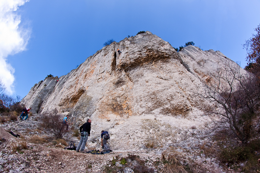
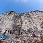
Sectors of Črni Kal crag:
###izrisi_graf32###
Y - Number of routes
X - Grades
You will spot the sector “Nad Cesto” already from the dirt road when approaching the parking lot A. Vertical plates with good rock predominate; however, people rarely climb here since it is a little distanced from other sectors.
Route height: 10 - 16 m
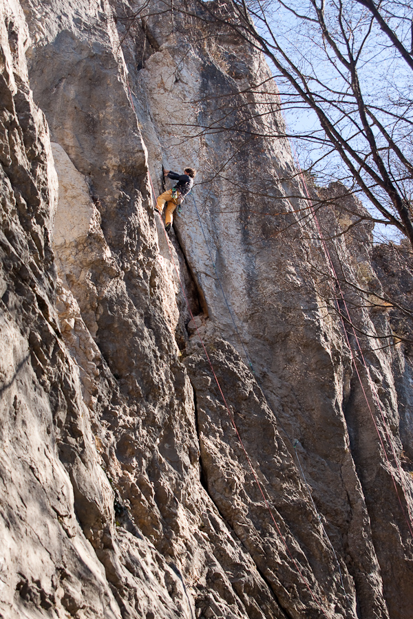
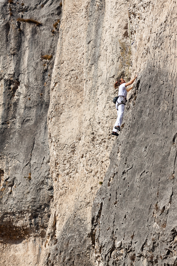
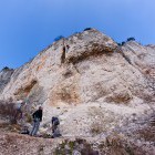
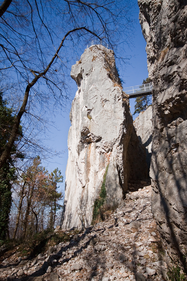
This sector got its name (Turkish tower) after a fortress on its top, which used to serve as an observance point back in the times of Turkish invasions. It still remains hard to access and presents a tough nut to crack even for skilled climbers. Vertical and smooth plates with bad handholds predominate here. The only two '8' routes of the whole climbing area are here.
Route height: 12 - 30 m
Steep plates with good handholds predominate. The rock is quite worn out in some parts, but it is not disturbing. The foothill of this sector is spacious, flat and with plenty of shade. It is suitable for families with small children.
Route height: 11 - 35 m
The characteristics of this sector are very similar to sector B. The routes have less handholds and the rock is more worn out.
Route height: 12 - 16 m
This sector in the middle of the climbing area has the most routes of difficulty '4' in a small semicircular section. It is popular with climbing schools. Although the sector is very busy, the rock remains excellent (compared to other sectors).
Route height: 10 - 17 m
Vertical plates with excellent rock predominate. This sector is not very crowded since it lies in the upper section of the climbing area.
Route height: ca. 11 m
Vertical plates with good rock predominate, but the left part of the sector is a bit more 'crumbly'. Many handholds and routes of lower difficulty attract less experienced climbers.
Route height: 14 - 25 m
The rock in this sector is more yellowish than in other sectors. It might look crumbly but this is not the case. Routes offer pleasant and compact climbing of medium and high difficulty and demand accurate feet work and stamina. This sector is not shaded by trees, so it can get (too) hot here.
Route height: 15 - 35 m
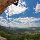
Like in Sidarta the rock here is yellowish, but slightly more crumbly and the use of helmet is recommendable. This sector is characterised by long and beautiful routes, which call for accurate feet work and stamina. The summit offers beautiful views on Koper outskirts and the Trieste Gulf. There is no shade here either, so it can get too hot.
Route height: 10 - 35 m
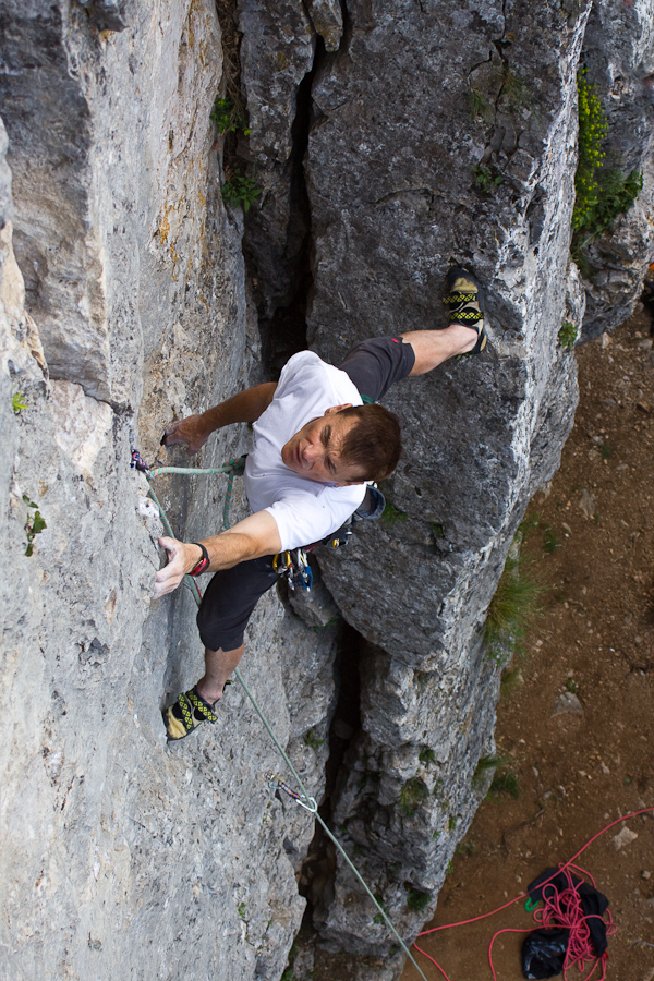
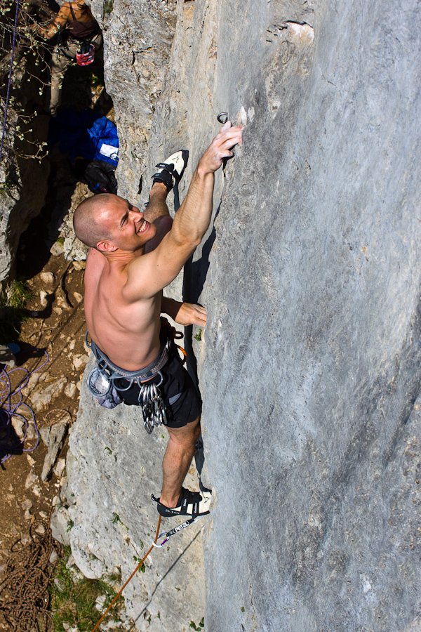
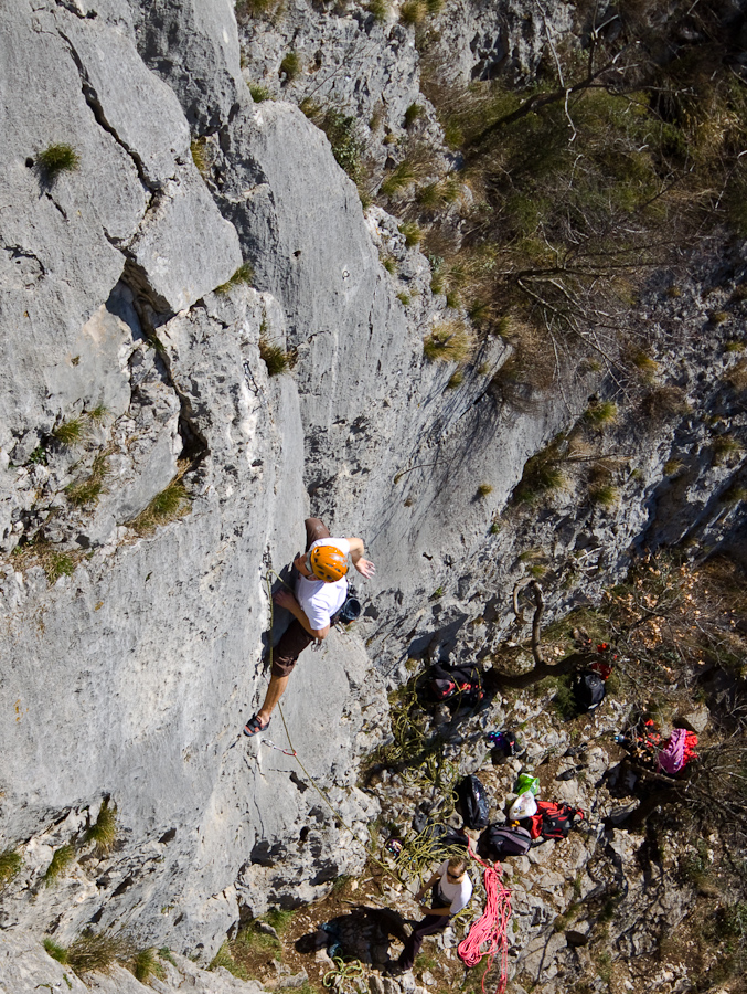
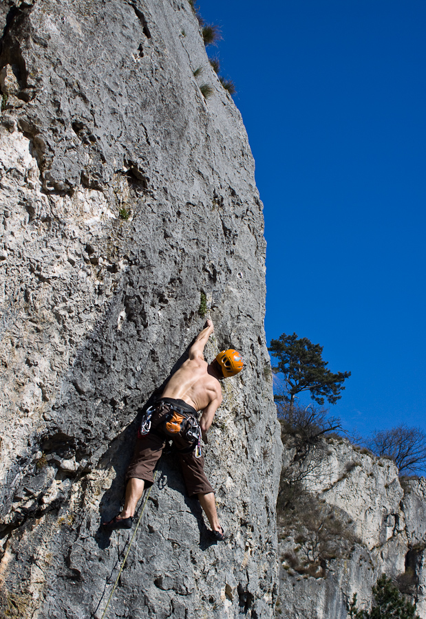
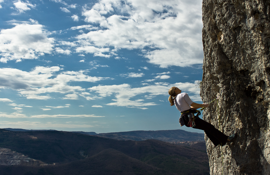
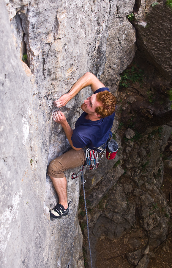
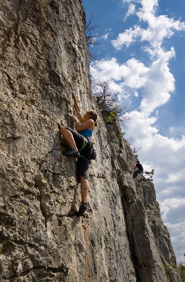
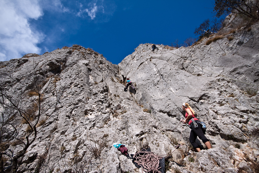
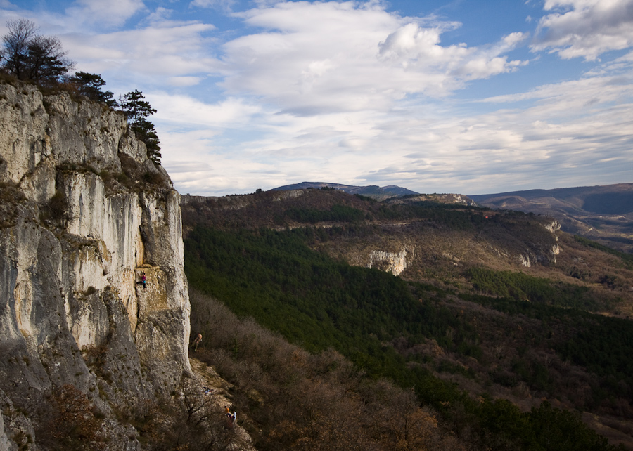
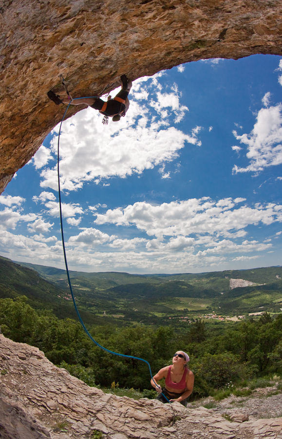
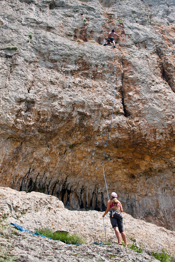
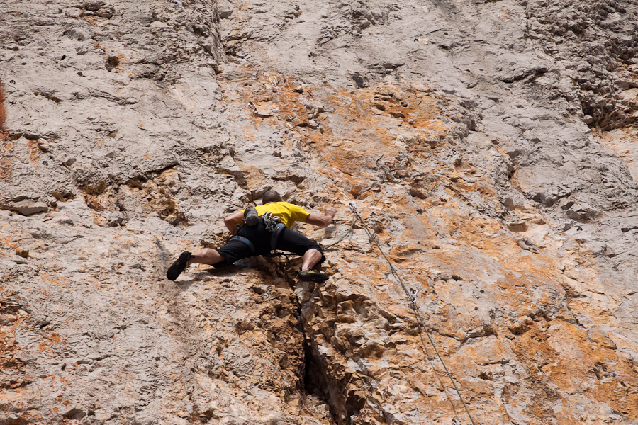
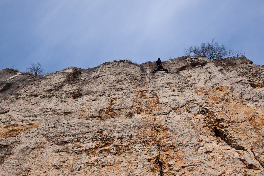
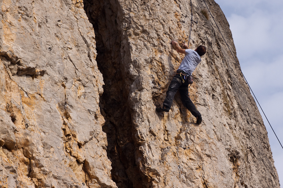
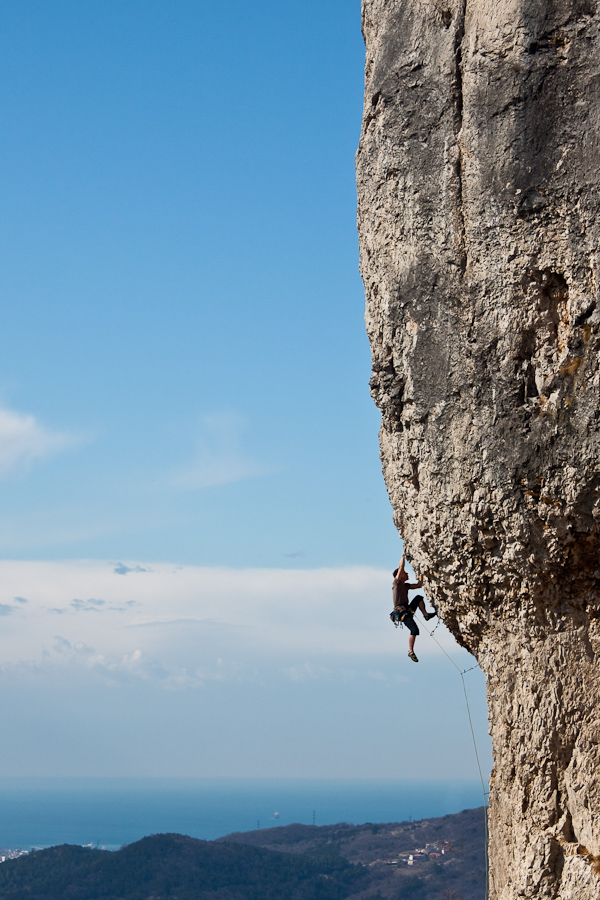
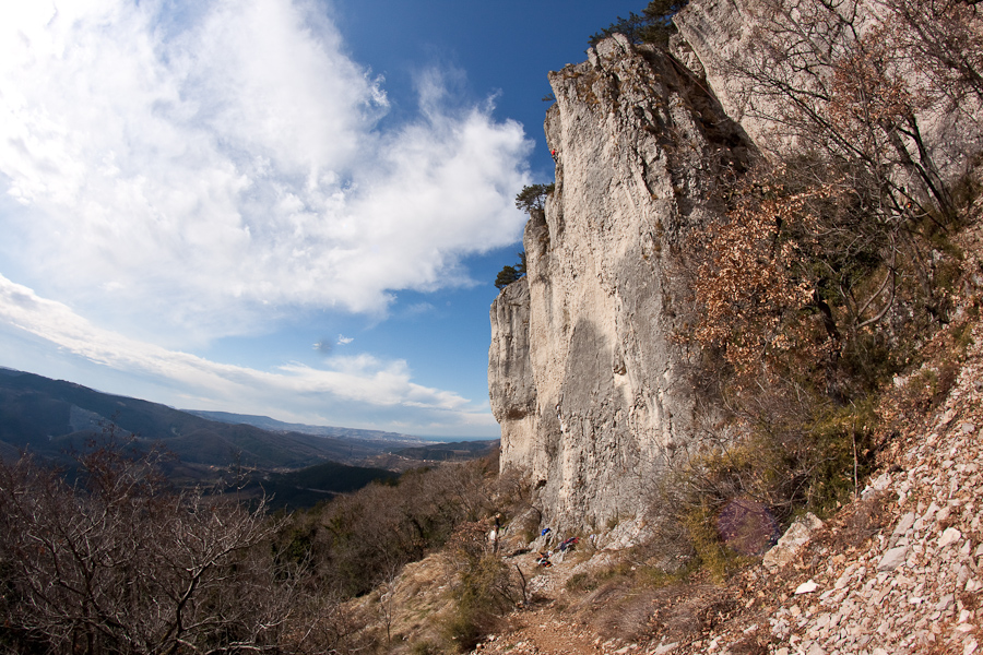
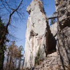
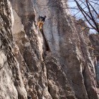
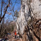
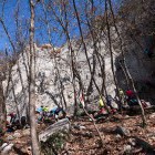
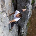
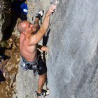
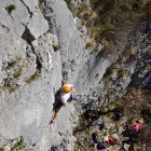
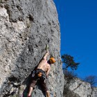
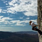
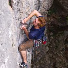
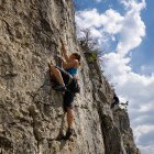
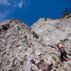
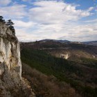
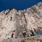
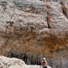
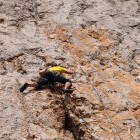
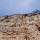
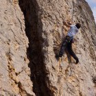
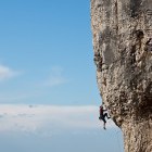
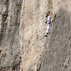
Gallery
-
Črni Kal crag -

Črni Kal crag -
Črni Kal crag -
Črni Kal crag -
Zlato -
Črni Kal crag -
Črni Kal crag -
Črni Kal crag -
Črni Kal crag -
Črni Kal crag -
Črni Kal crag -
Črni Kal crag -
Črni Kal crag -
Črni Kal crag -
Črni Kal crag -
Črni Kal crag -
Črni Kal crag -
Črni Kal crag -
Črni Kal crag -
Črni Kal crag -
Črni Kal crag -
Črni Kal crag -
Črni Kal crag -
Črni Kal crag -
Črni Kal crag -
Črni Kal crag -
Parking lot A -
Parking lot B